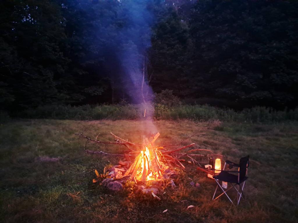
Fire Andy | July 15, 2026 Saturday August 2, 2025 — Burnt-Rossman State Forest — Burnt Rossman Hills State Forest - North 🗺 — Burnt Rossman Hills State Forest - South 🗺— PDF with All Maps 📚
Vromans Nose Trails Andy | July 14, 2026 Display Full Screen - Control + Mouse to Pan, SHIFT and +/- to zoom, arrow keys pan around MapLibre GL map.
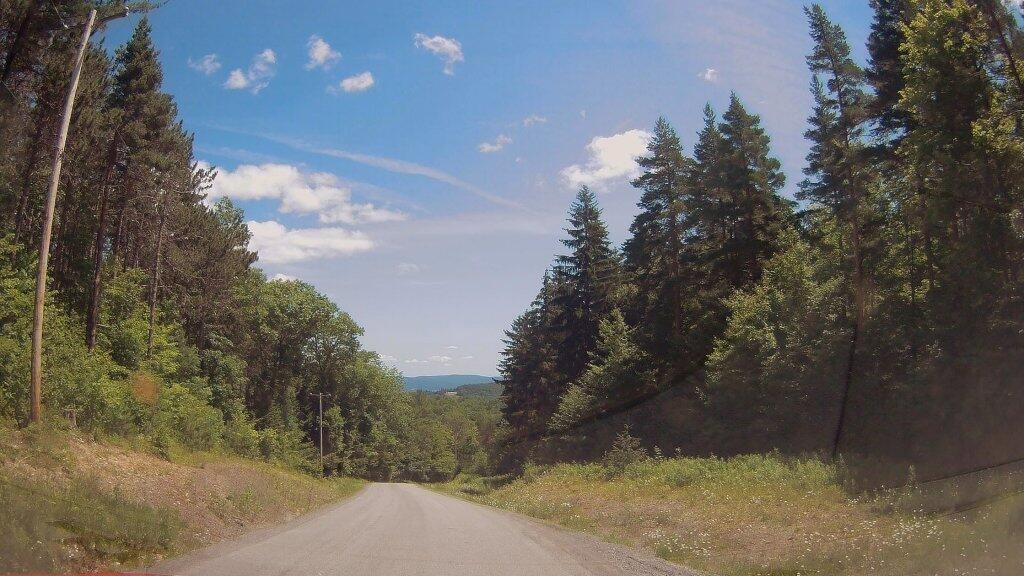
Off Rossman Hill Andy | July 9, 2026 Monday July 23, 2018 — Burnt-Rossman State Forest — Burnt Rossman Hills State Forest - North 🗺 — Burnt Rossman Hills State Forest - South 🗺— PDF with All Maps 📚
Walking Along Escarpment on Vromans Nose Andy | July 9, 2026 Heading out along the escarpment at Vromans Nose towards the Dance Floor, looking out at the Schoharie Valley.
Mine Kill State Park Andy | July 7, 2026 Display Full Screen - Control + Mouse to Pan, SHIFT and +/- to zoom, arrow keys pan around MapLibre GL map.