Oneida County, NY

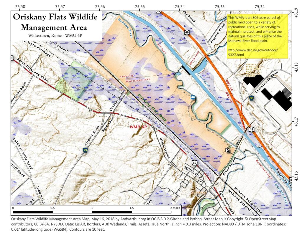
Oneida County is a county located in the U.S. state of New York. As of the 2010 census, the population was 234,878. The county seat is Utica. The name is in honor of the Oneida, an Iroquoian tribe that lives in the region.

Oneida County is in the central portion of New York State, east of Syracuse, and west of Albany. Oneida Lake is on the northwestern corner of the county, and the Adirondack Park is on the northeast. Part of the Tug Hill Plateau is in the northern part of the county. Interestingly, Oneida County’s highest point does not lie on either the plateau nor in the Adirondack Park, but in the county’s southern extremity. The peak’s name is Tassel Hill. It is located slightly southeast of Hardscrabble Road (Tassel Hill Road), between the villages of Waterville and Cassville.

http://en.wikipedia.org/wiki/Oneida_County,_New_York

Long Lake Lean-Tos – Coordinates and Maps

Long Lake Lean-Tos – Coordinates and Maps πŸ•

Name Unit Latitude Longitude
Calkin’s Creek Lean-To High Peaks Wilderness 44.1058294131448 -74.3120366857115
Catlin Bay #1 Lean-To High Peaks Wilderness 43.9980126926989 -74.3927845610842
Catlin Bay #2 Lean-To High Peaks Wilderness 43.9972143811434 -74.3959393656481
Cold River #3 Lean-To High Peaks Wilderness 44.0914592780512 -74.257641750845
Cold River #4 Lean-To High Peaks Wilderness 44.0913902533326 -74.2557348025251
Deep Hole Lean-To Sargent Ponds Wild Forest 44.1027442039184 -74.3218627059816
Deerland Carry # 2 Lean-To Sargent Ponds Wild Forest 43.9262175397083 -74.4753958671918
Deerland Carry #1 Lean-To Sargent Ponds Wild Forest 43.925780718913 -74.4758457554482
Hidden Cove Lean-To High Peaks Wilderness 44.0026552881939 -74.3864802632516
Island House Lean-To High Peaks Wilderness 44.0760291646623 -74.3235341650571
Kelly Point #1 Lean-To High Peaks Wilderness 44.0288002361709 -74.3673079859906
Kelly Point #2 Lean-To High Peaks Wilderness 44.028702567172 -74.3671303486795
Long Lake Nw Lean-To #1 Sargent Ponds Wild Forest 44.0814068182887 -74.3358291460985
Long Lake Nw Lean-To #2 Sargent Ponds Wild Forest 44.0825043385337 -74.3339145724739
Moose Pond Stream Lean-To High Peaks Wilderness 44.079589788976 -74.2389368366902
Moose Pond Stream Lean-To #2 High Peaks Wilderness 44.079553878647 -74.2391509433142
NA Sargent Ponds Wild Forest 44.0907781103628 -74.323731553366
Plumley Point #1 Lean-To High Peaks Wilderness 44.0654422643994 -74.3285192442171
Plumley Point #2 Lean-To High Peaks Wilderness 44.0655989161076 -74.32761224546
Rodney Point #1 Lean-To High Peaks Wilderness 44.0414093848994 -74.3501490963956
Rodney Point #2 Lean-To High Peaks Wilderness 44.0429767454126 -74.3493346475314

Long Lake Lean-Tos

Outside of Bridgewater

Setting sun outside of Bridgewater along the Cherry Valley Turnpike on Friday evening. Just another beautiful section of US 20.