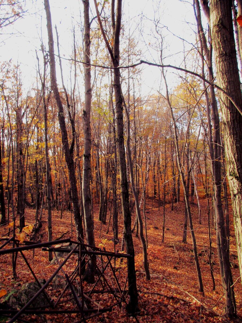
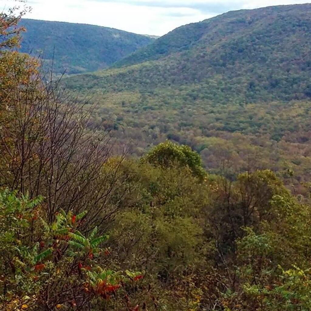
High Point Andy | October 17, 2021 Along the fire tower trail, there is an old foundation and the remains of the radio tower. There would good views from hunting up here for sure. Saturday October 26, 2019 — Ohiopyle State Park
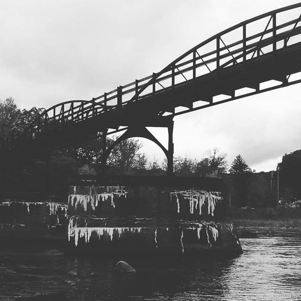
The weird Ohiopyle Bridge Everybody Photographs Andy | October 6, 2019 Monday October 16, 2017 — Ohiopyle State Park


")