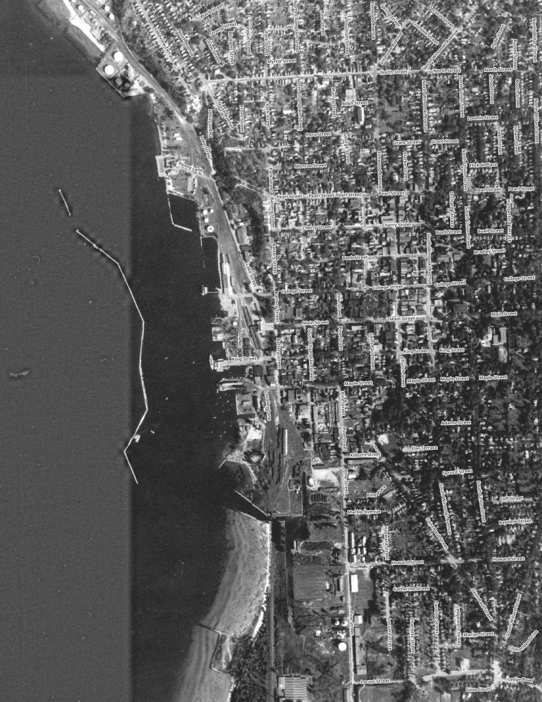
Northern Vermont
Lake Willoughby
Lake Willoughby is a 1,685 acre lake in Vermont's Northeast Kingdom. The southern end is surrounded by the Willoughby State Forest. This state forest includes Mount Pisgah, Mount Hor, collectively "Willoughby Gap".
The lake is about 5 miles (8.0 km) long. In 2010, Yankee magazine named Willoughby as the third best lake in New England.
Montgomery Center Vermont
Small farm town nestled in the hills of Northern Vermont.
Island Line Trail
The Island Line Trail, also known as the Colchester Causeway, is a 14-mile (23 km) rail trail located in northwest Vermont. It comprises the Burlington Bike Path (Burlington), Colchester Park (Colchester) and the Allen Point Access Area (South Hero).
There was little on-line traffic left on that portion of the route and freight for Canada could be routed from Burlington north to Montreal over the somewhat longer Central Vermont Railway through St. Albans, Vermont. After several years of inactivity, restoring service on the Island Line would have required extensive rebuilding, and renovations of the three swing bridges on the line, over various bays of Lake Champlain. Ultimately all of the bridges on the route were removed, but the roadbed on the causeway across the lake survived, as it was heavily built with much use of granite. The alignment along the shores of Lake Champlain from Burlington Union Station north to the causeway was converted to form the Burlington Bike Path, and later took the Island Line name when the causeway was reopened, with a seasonal bike-ferry replacing the swing bridge in the northern portion of the causeway alignment. Due to a 200-foot (61 m) gap in the causeway, the organization Local Motion operates the Island Line Bike Ferry to shuttle cyclists across the gap.
https://en.wikipedia.org/wiki/Island_Line_Trail
https://www.localmotion.org/island_line_trail_map
Morrisville, VT
Morrisville is a village in the town of Morristown, Lamoille County, Vermont, United States. As of the 2010 census, the village population was 1,958. Morrisville has two country clubs, a hospital, a school featuring Greek architecture and an airport.
South Burlington’s Never Completed Interstate 189
There was once a plan for the highway to continue north into the city of Burlington along the waterfront and service an industrial area. Construction was delayed due to the presence of a toxic barge canal and eventually cancelled as the city largely left behind its industrial past in favor of tourism in the 1980s. The roadway was abandoned just beyond the US 7 interchange. As a result, Jersey barriers are in place on I-189 west directing traffic onto the US 7 off-ramp, orphaning approximately 0.65 miles (1.05 km) of road, along with a few ramps.
Northeast Kingdom of Vermont is Less Agricultural then You Might Think
A lot of people think cows when they think of the Green Mountain State. Vermont often celebrates it's rural heritage and agricultural is a big part of land use along Lake Champlain but the same can't be said about the Northeast Kingdom of Vermont. While there are certainly farms up that way, there is a lot less crop growing then some of the real agricultural areas of New York.
