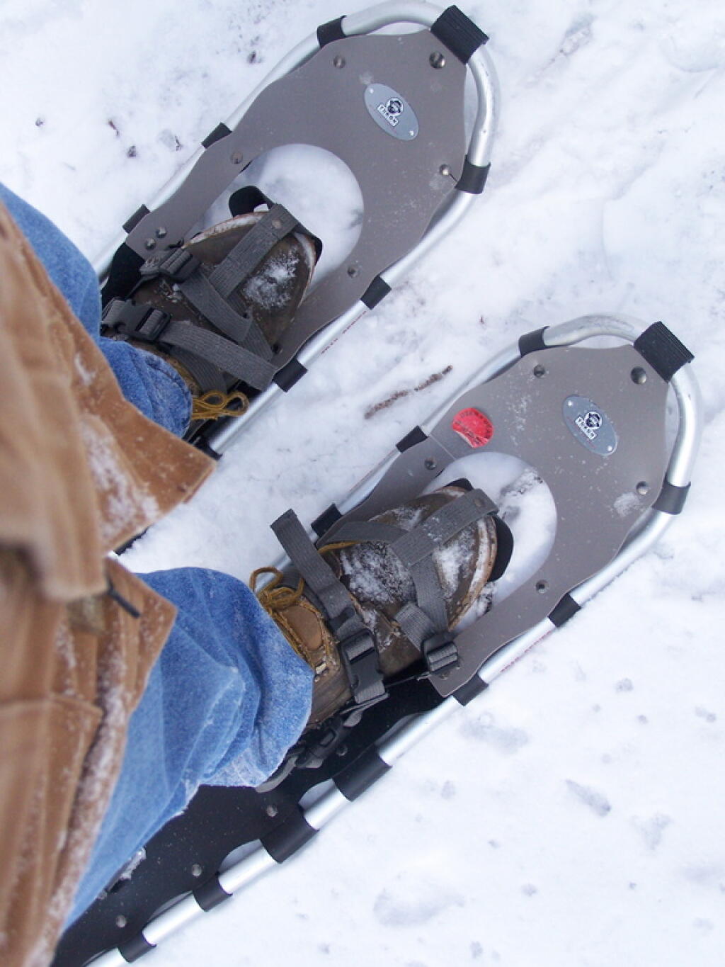
Last Saturday I went out snowshoeing at Grafton Lakes State Park. I wasn’t planning on going out, until I realized how truly nice it was outside. I quickly tossed my snowshoes in the pickup, packed up my pack, and off I went.
I drove out along Domain Road, past the winter entrance to the Grafton Lakes Park, and parked down along Second Pond. I didn’t realize that snowshoers/skiers could go through the winter entrance, and all the way to the beach on Long Pond. Instead, I snowshowed out along Second Lake to Long Pond. As you can see, Long Pond was not frozen.
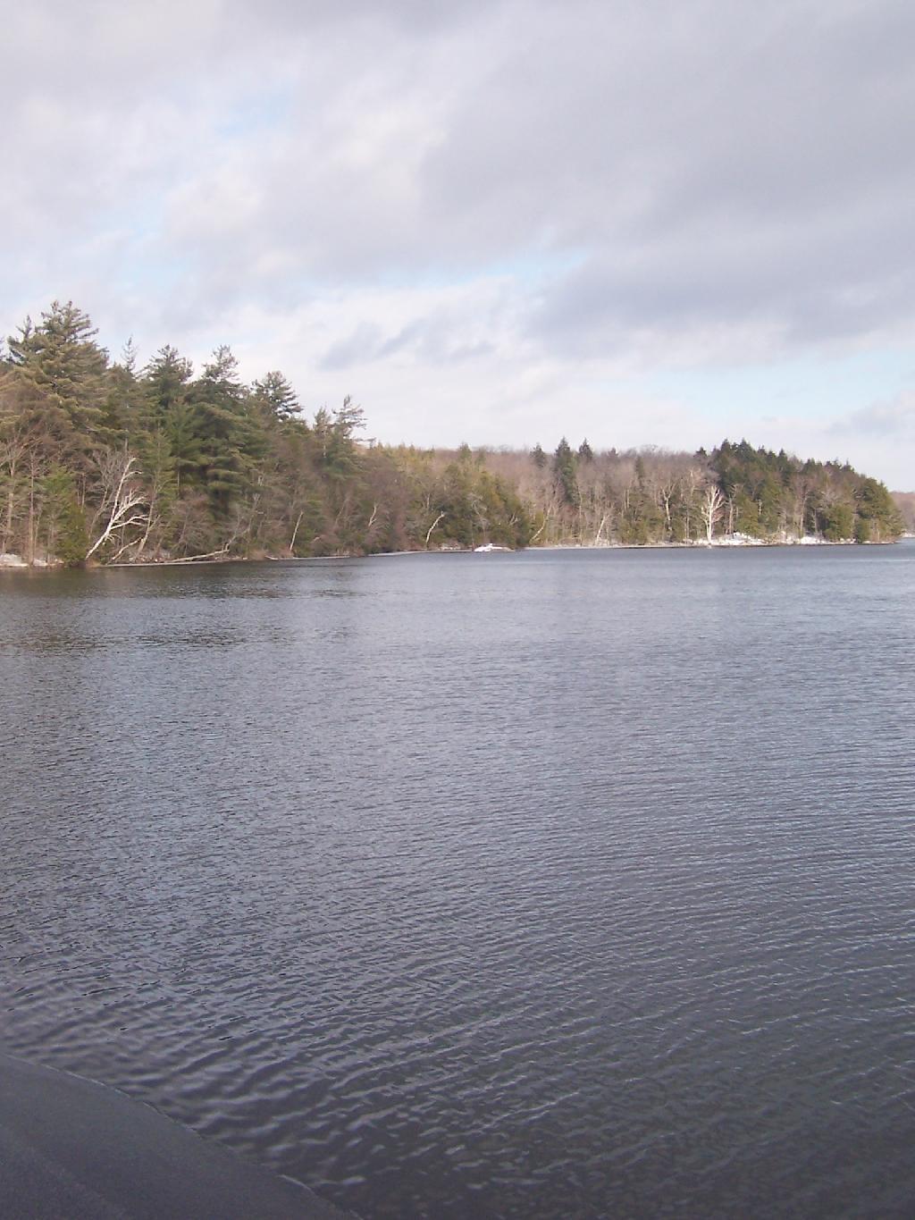
I decided to go on the trail around Long Pond. While I’ve been around Long Pond in a canoe and kyack in the summer, I’ve never been all the way around the trail in winter.
Several sections of trail would have been swampy had it been warmer. It instead was ice, in most portions thick enough, that the snowshoes crossed it without cracking through. The trail along Long Pond probably is not very good for hiking on wet times.
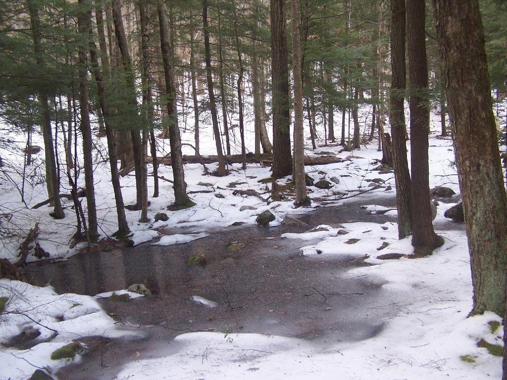
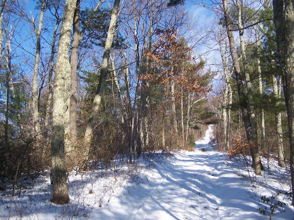
The trail around Long Pond is signed with “More Difficult”. It is amusing to see the trail signed “More Difficult”, especially after all of the High Peaks and other mountains I’ve climbed in the Catskills and beyond. This trail is almost completely flat, bar a few rocks and roots sticking up and a few very small hills.
The far end of the lake looking due south towards the swimming beach. You can’t actually see the beach from here, because the lake turns slightly to the west from here.
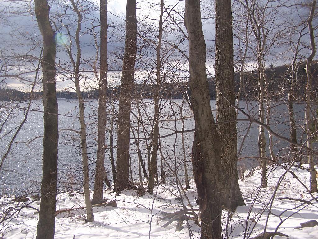
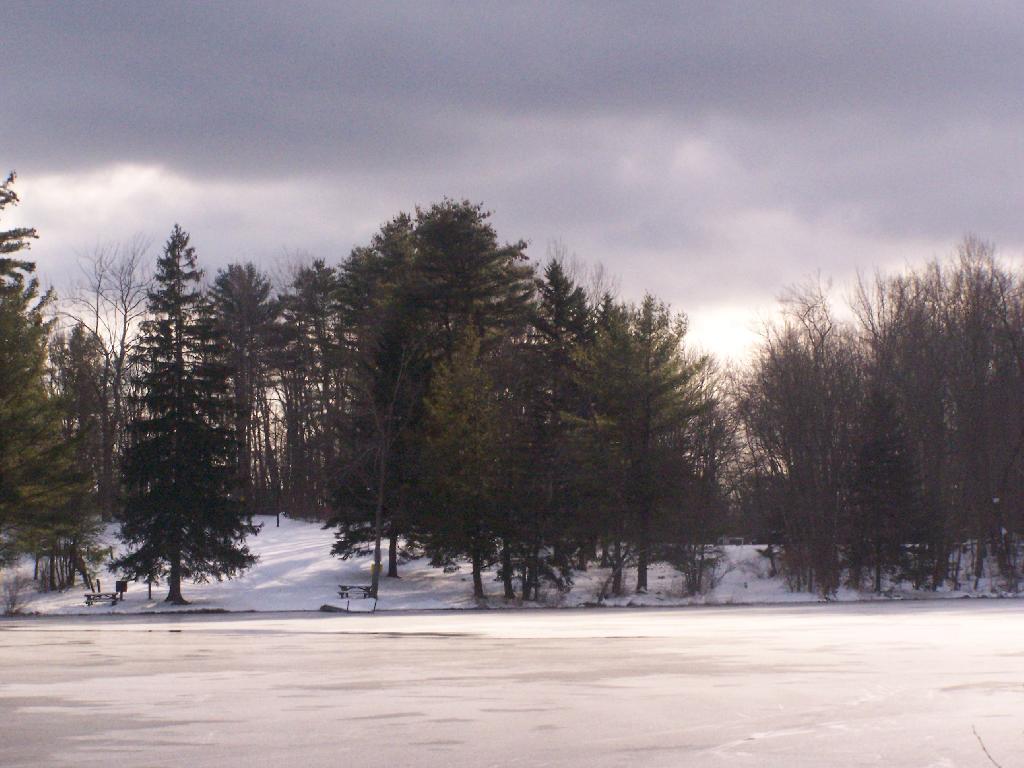
After going around Long Pond, I headed along the Second Lake. This lake was frozen unlike the other pond. It was a bit too thin to dare cut across it.

Here is a map of the snowshoe hike in blue.
