Seneca Lake stands as the largest among the glacial Finger Lakes within the state of New York. Renowned for its substantial size and depth, it remains entirely contained within the state’s borders. The lake has earned distinction as the preeminent locale for lake trout angling, exemplified by its role as the host of the esteemed National Lake Trout Derby. Positioned at the northern terminus of Seneca Lake, the city of Geneva, New York, commands attention, serving as the domicile for Hobart and William Smith Colleges, along with housing the New York State Agricultural Experiment Station, a constituent entity of Cornell University. Conversely, the village of Watkins Glen, situated at the southern extremity of the lake, boasts a notable reputation due to its association with motorsport, primarily due to the presence of Watkins Glen International racetrack, as well as its picturesque cascades.
Seneca Lake possesses an uncommon macroclimate that has bestowed it with the distinction of nurturing over 50 wineries, predominantly characterized as farm wineries. Its geographical attributes have led to the designation of the Seneca Lake American Viticultural Area (AVA), solidifying its reputation within oenophilic circles.
In terms of dimensions, Seneca Lake stretches across a length of approximately 38 miles, securing its position as the second longest Finger Lake. Remarkably voluminous, it is estimated to contain an impressive 3.81 cubic miles (15.9 km³) of water, accounting for nearly half of the cumulative water volume across all the Finger Lakes. The lake’s profundity is notable, averaging 291 feet, while plunging to a maximum depth of 618 feet. The expansive water body covers a surface area of approximately 66.9 square miles (173 km²).
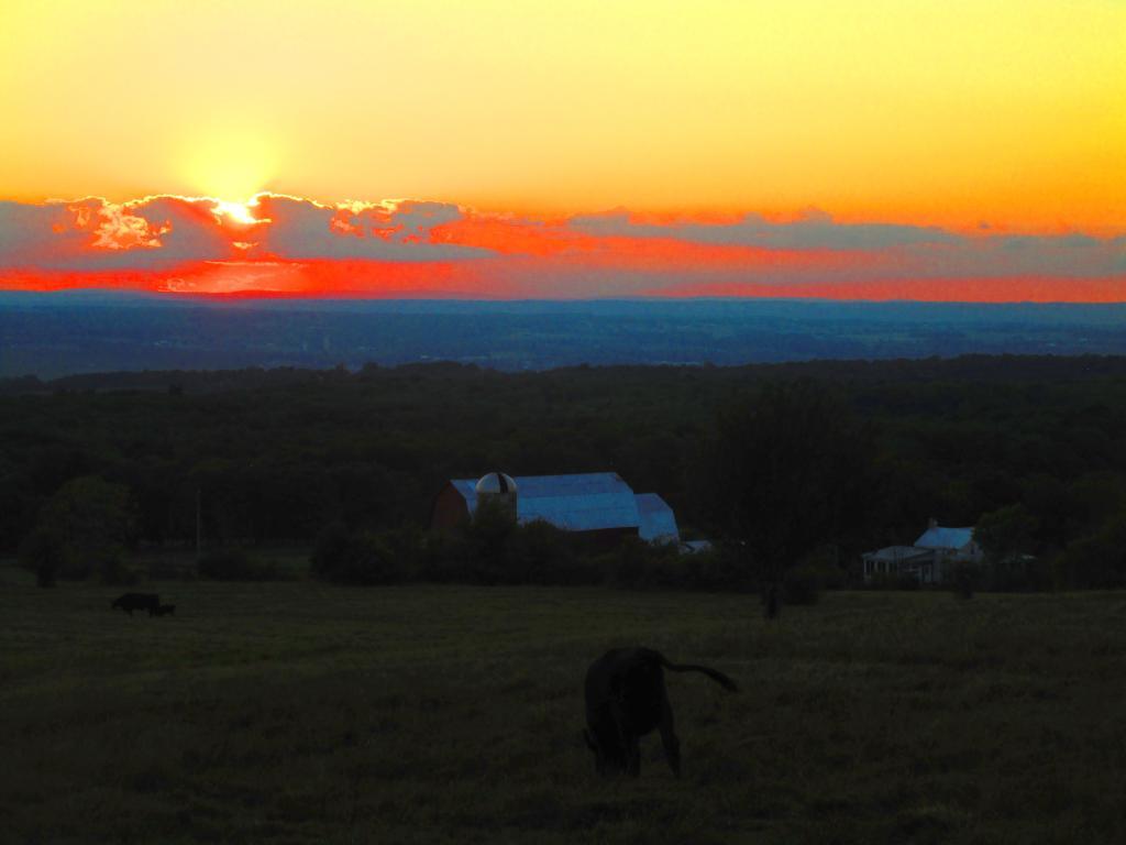
Should be a decent next two days for closing out vacation ⛺
Continued warm it seems into next week but I’ll be back in my air conditioned office 🏢 and knowing that I will have a lot of work to do and will be staying late. But alas summer can’t last forever with Labor Day Weekend three or four weekends away and the heat certain to break sometime before or after that.
Today. Muggy !
A chance of showers and thunderstorms after 1pm. Increasing clouds.
Southwest wind 7 to 9 mph. Chance of precipitation is 40%. New rainfall amounts of less than a tenth of an inch, except higher amounts possible in thunderstorms.
and
87 degrees
,70 max dew point,
8:22
sunset.
Tonight. Muggy !
A chance of showers and thunderstorms, mainly before 9pm. Partly cloudy.
Southwest wind 7 to 11 mph. Chance of precipitation is 30%. New precipitation amounts of less than a tenth of an inch, except higher amounts possible in thunderstorms.
and
71 degrees
,68 max dew point,
6:04
sunrise.
Sunday. Muggy !
A chance of showers and thunderstorms, mainly after 2pm. Mostly sunny.
West wind 7 to 10 mph. Chance of precipitation is 30%. New rainfall amounts of less than a tenth of an inch, except higher amounts possible in thunderstorms.
and
88 degrees
,70 max dew point,
8:21
sunset.
Sunday Night. Muggy !
A chance of showers and thunderstorms before 11pm, then a chance of showers between 11pm and 2am, then a chance of showers and thunderstorms after 2am. Partly cloudy.
South wind 6 to 8 mph. Chance of precipitation is 30%. New rainfall amounts of less than a tenth of an inch, except higher amounts possible in thunderstorms.
and
70 degrees
,70 max dew point,
6:05
sunrise.
Monday. Feels like …
July 15th.
A chance of showers and thunderstorms before 8am, then a chance of showers between 8am and 11am, then a chance of showers and thunderstorms after 11am. Partly sunny.
West wind around 10 mph, with gusts as high as 21 mph. Chance of precipitation is 50%.
and
84 degrees
,70 max dew point,
8:20
sunset.
Monday Night. Muggy !
A chance of showers and thunderstorms. Mostly cloudy.