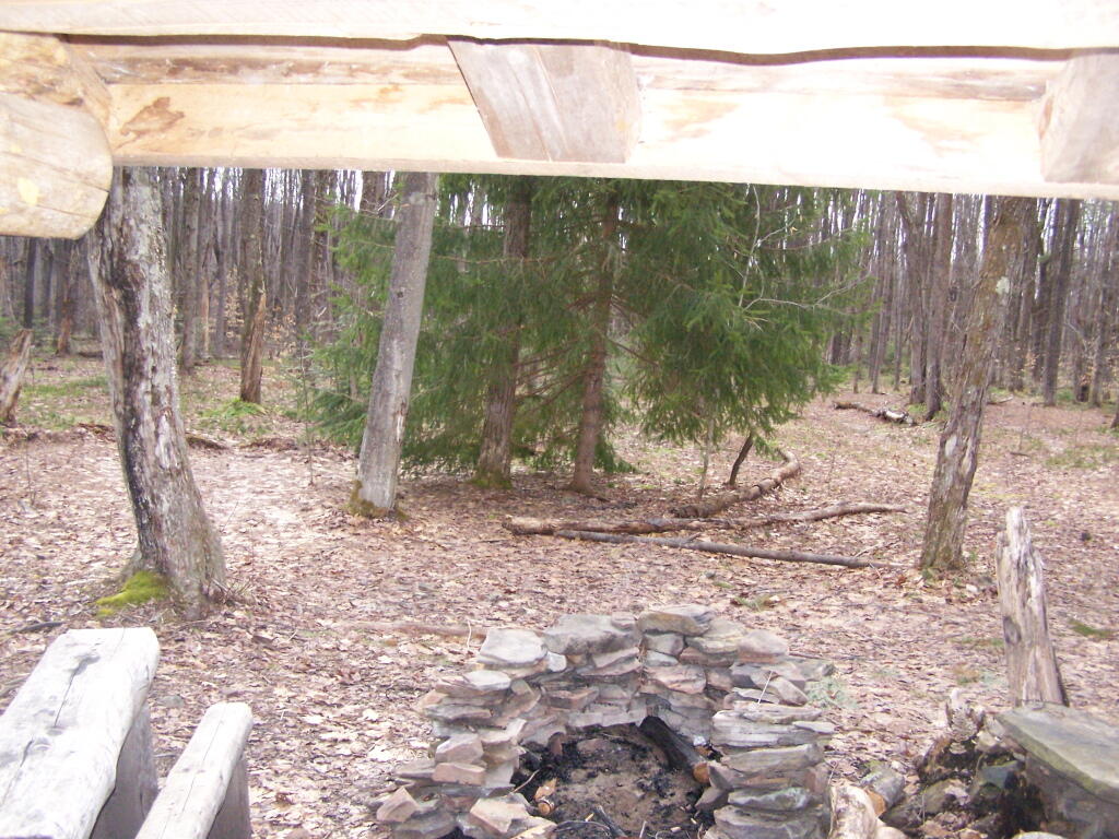
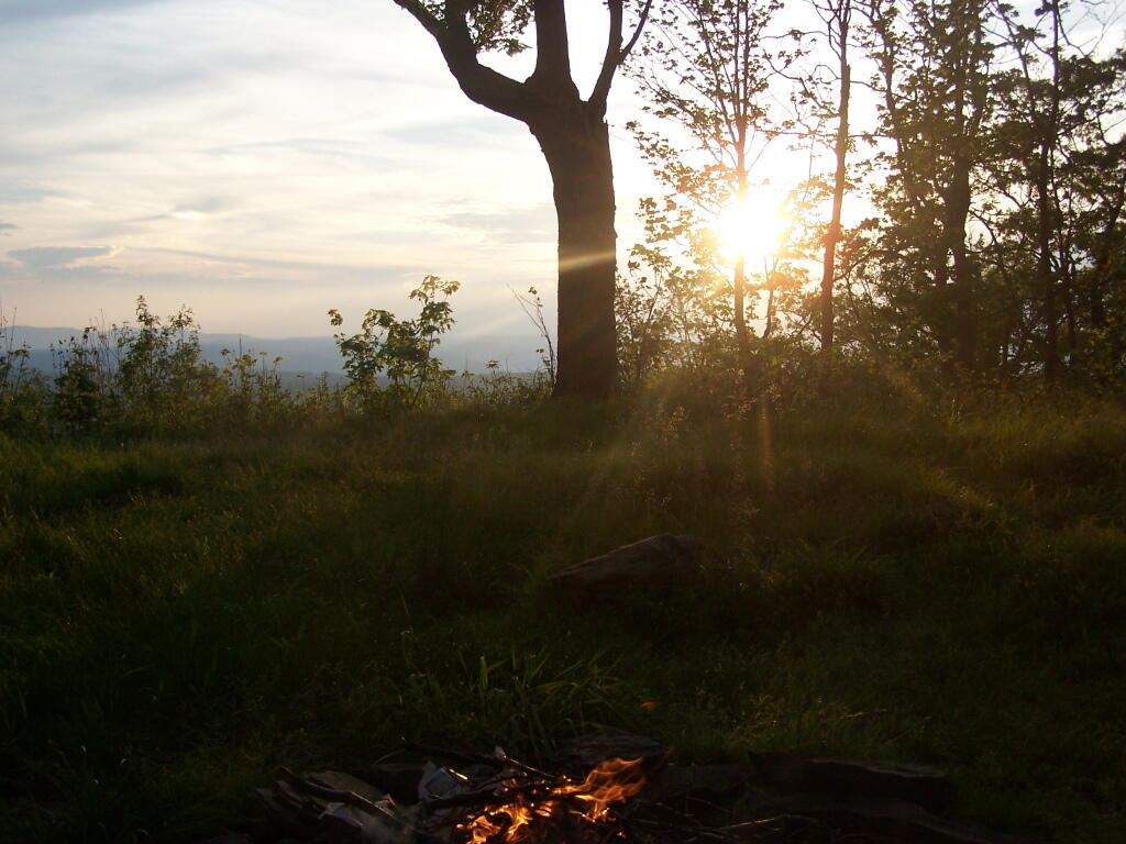
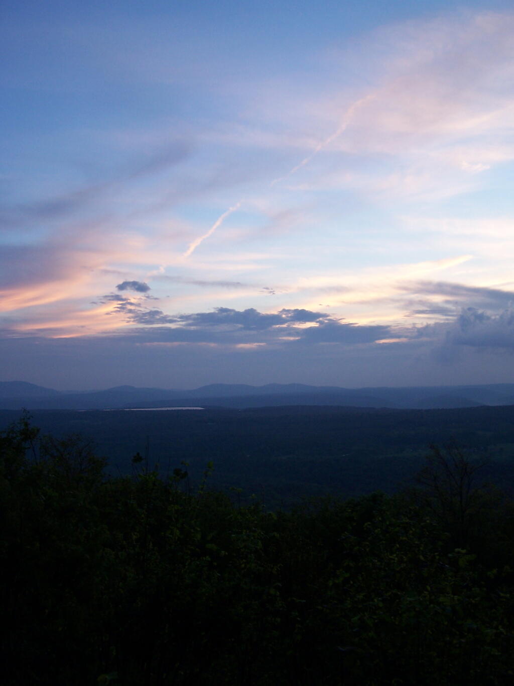
Up by the Leonard Hill Fire Tower, there is a clearing cut into the hillside, and an area where there is a little fire place, and some grass that never grows that tall. It’s obvious that people camp up here from time to time, to enjoy the beautiful sunset, and myself I’ve been itching to watch a sunset from here for some time.
While on June 5th, the weather was somewhat cloudy, as thunderstorm after thunderstorm came rolling through the valleys and mountains alike, it actually turned out to be a remarkably beautiful evening. with a beautiful sunset into the clouds. The views from Leonard Hill where as spectacular as always.
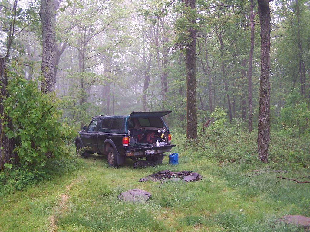
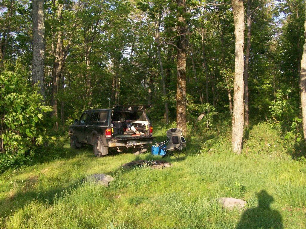
Looking at my camping set up.
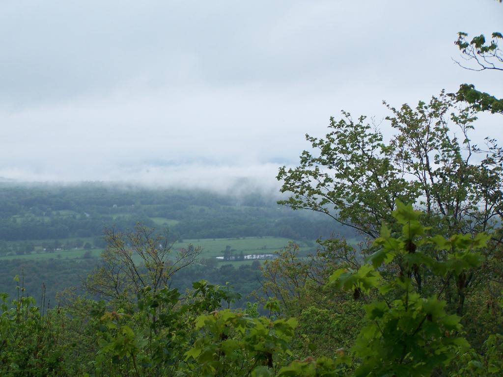
The rain lead to some beautiful misty sky scapes, especially as the sun was lowering in the sky. Here is Rossman Hill, where I had camped deep in the valley the previous night.
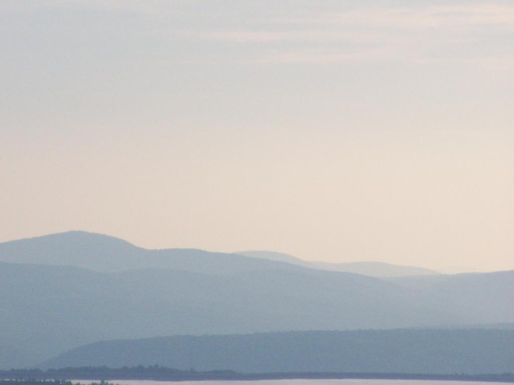
And here Blenheim Mountain with the Blenheim Upper Power Project Reservoir above it.
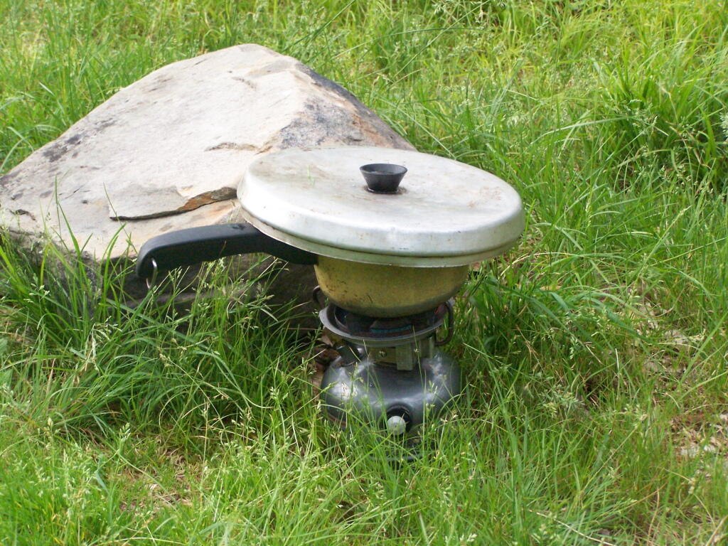
It was windy up there, but the little White Gas Coleman Stove did just find boiling the water for the pasta I was cooking up for dinner. I did stick it behind this little rock to provide a little more shelter from the wind, but regardless cooked it quickly.
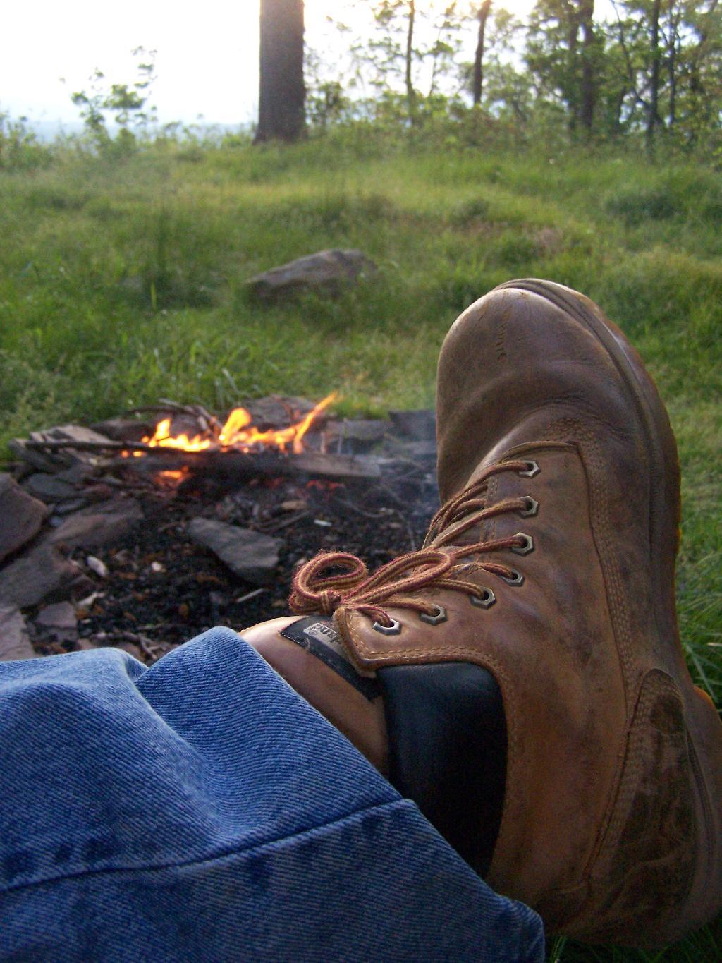
With the wind racing up the hill with coming front, I kept the fire very small and a lot of water nearby. It had been raining throughout the day, so things weren’t particularly flammable, but with the winds being so strong, it was a bit frightening.
I watched the sunset into the valley while the very small campfire roared away with the winds whipping away. It wasn’t particularly cool, but by 8 PM, I did feel it neccessary to put on a long-sleeved shirt.
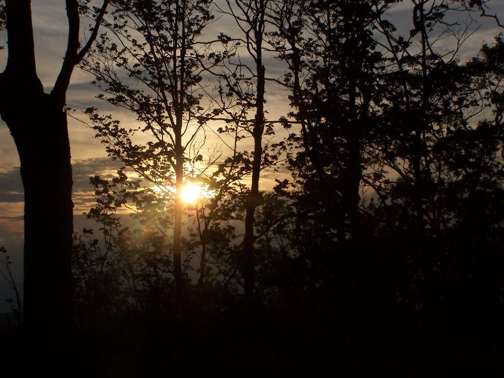
The sun setting through the trees.
With the clouds starting to over take the sun.
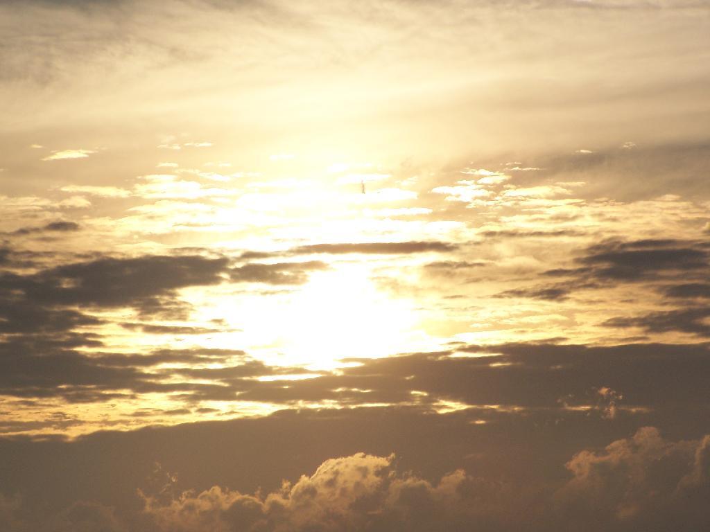
And eventually a front comes through, making the sun set before it normally would, quite far to the north, over Rossman Hill.
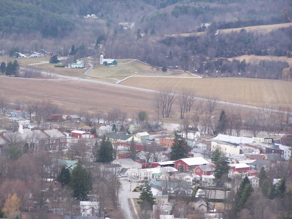
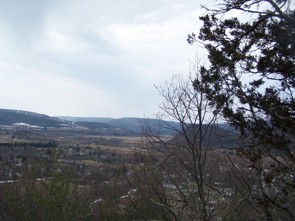
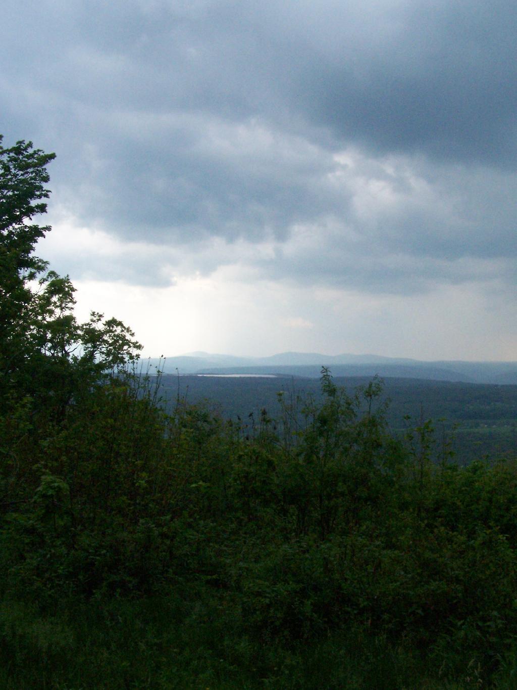
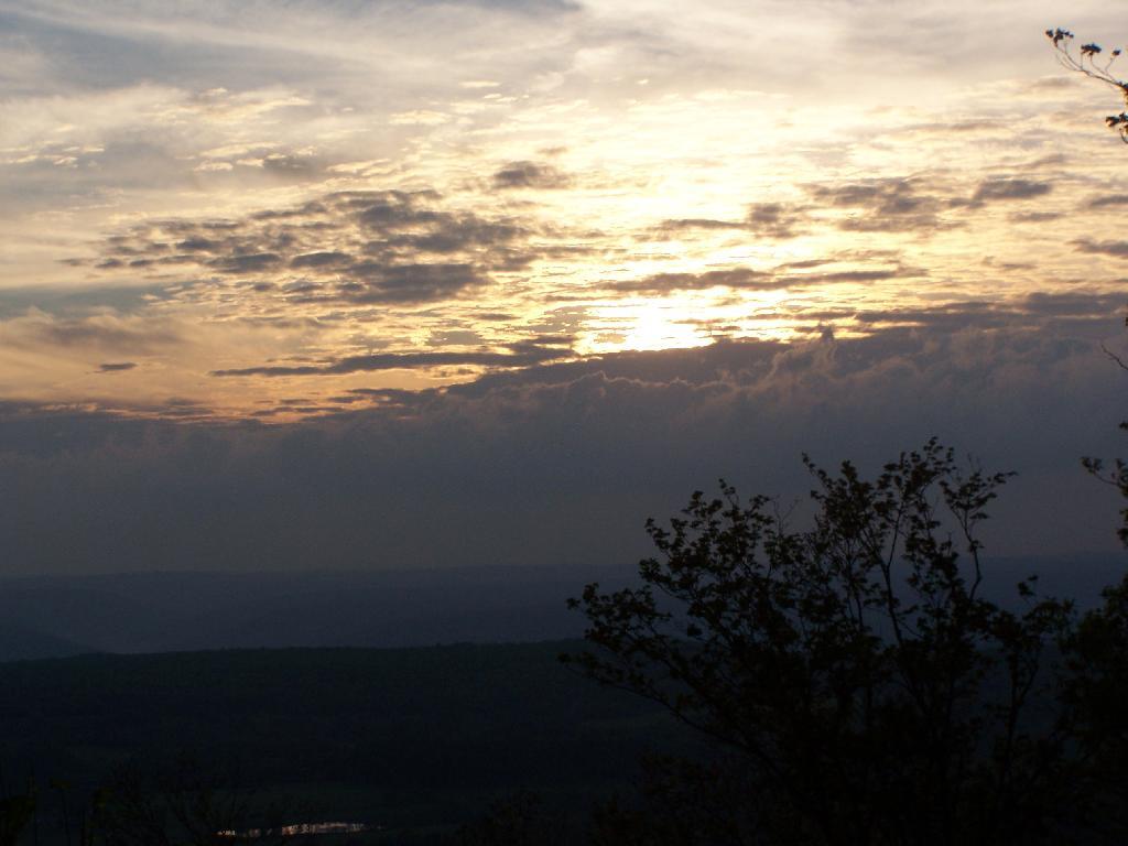
The view after sunset. You can just barely make out the mountains, from Utsayathana to the left, to Blenheim and the Reservoir in the center, to Burnt-Rossman Hills on the right.
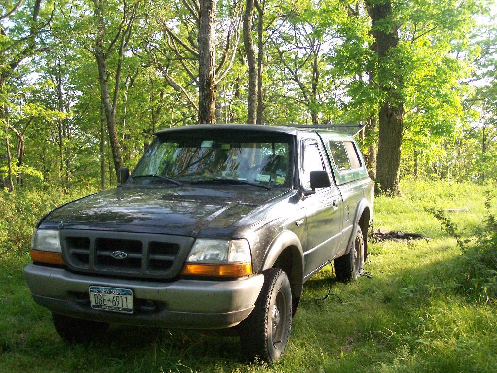
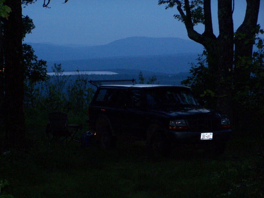
The truck truck and camping gear after dark.
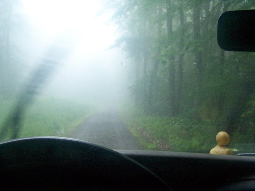
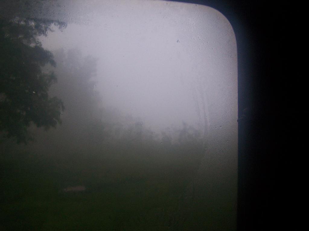
Awaking in the morning to pounding rain, which fortunately let up into a relatively thick fog by the time I got up in the morning. Here is a view out the back window of the truck cap.
My “night stand” in the truck. Books, radio, flashlight, even fan. I’m as well prepared as I would be at home for sure. That light has only a 9-watt florescent bulb in it, although if I ever needed more light, I have two other lead-lamps with 26-watt florescent in them to illuminate the night.
Packing up my gear on the foggy morning.
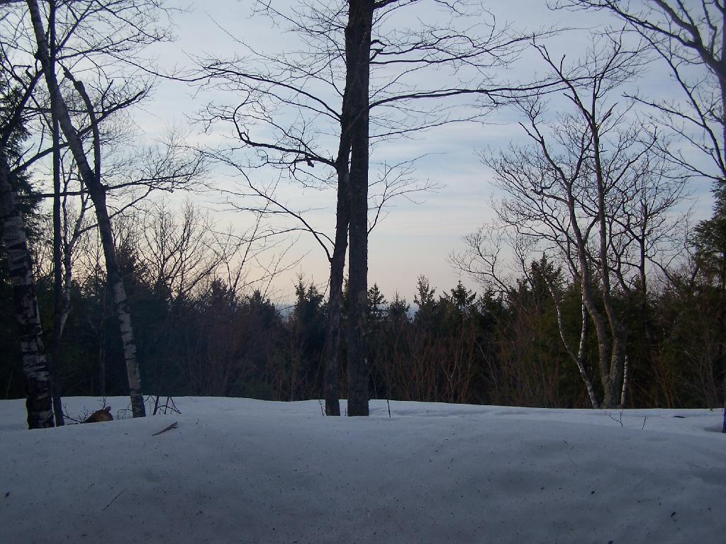
The rain and fog pretty much obstructed the view by morning.
The farther I got down the mountain, the worst the weather got on the truck trail. A little farther down the mountain, the fog was so bad, I had to drive really slow with my truck.
Here is a map of where I camped on top of Leonard Hill.
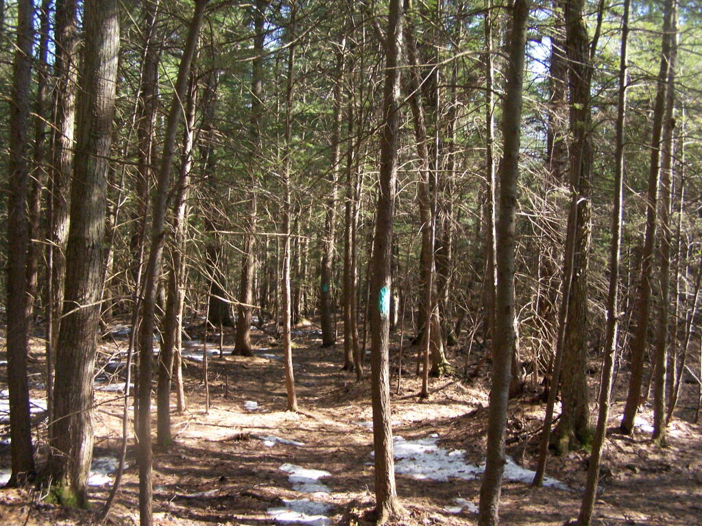
I’ve camped up at Burnt-Rossman State Forest a couple of dozen times. It’s one of my favorite places to go out truck camping, with it’s remote and quiet nature, and while I had known from maps that there was a lean-to up there, that one could hike to, I had never actually visited it. I had spent the previous night tent camping, and being up early, decided to check out the lean-to.
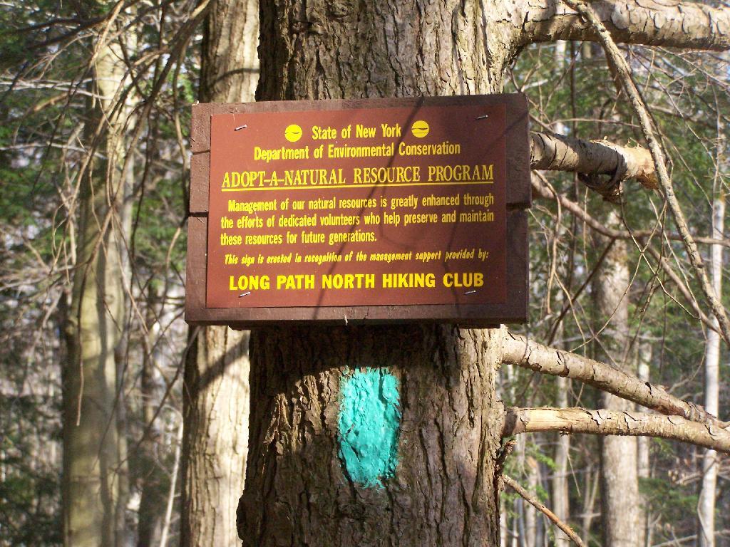
The lean-to is located on the section of the Long Path that crosses Morey Road, just south of Rossman Hill Road, right next to the old cemetary. Alternatively, you can access the lean-to from Burnt Hill Road, just up the hill from where Duck Pond Road splits off. The lean-to is located about a 1/2 mile from either road. Regardless of which way you choose to go, it’s a nice level hike through marshes and old timber stands.
And old woods roads…
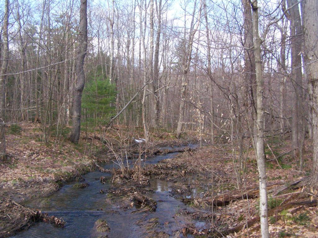
As you past by the headwaters of the Cole Brook, which ultimately helps feed the Schoharie Creek.
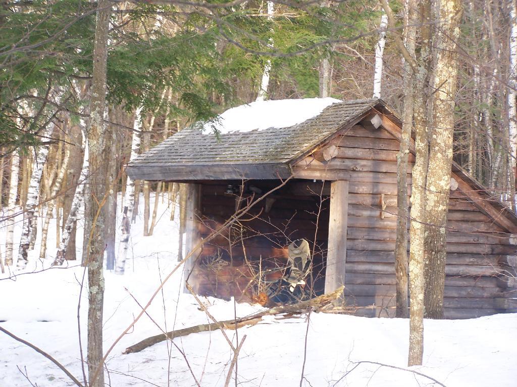
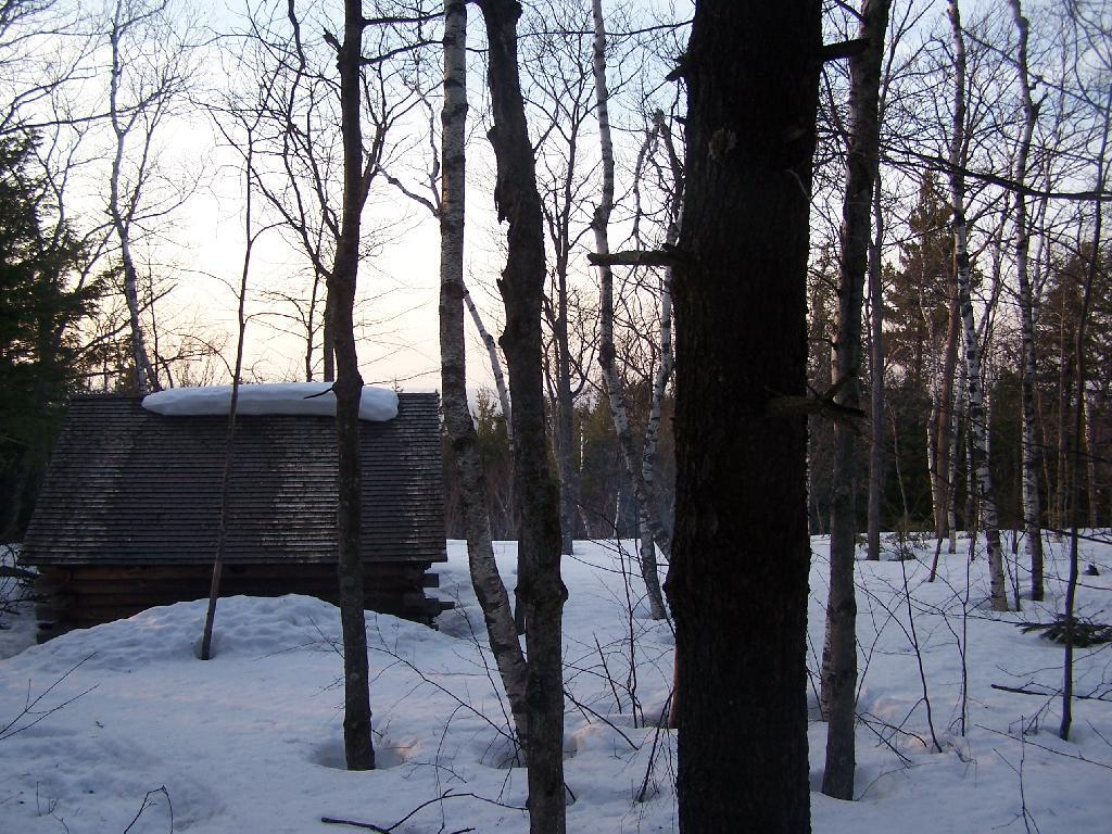
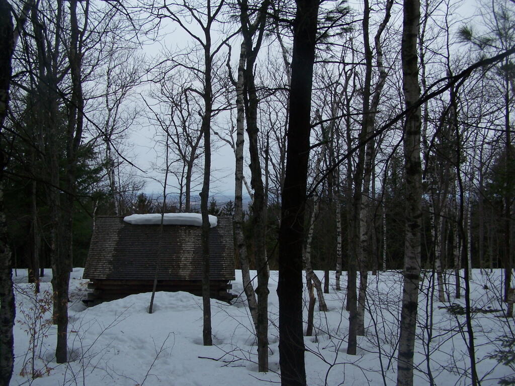
And the lean-to is really nice looking and only used occassionally, mostly by the locals.
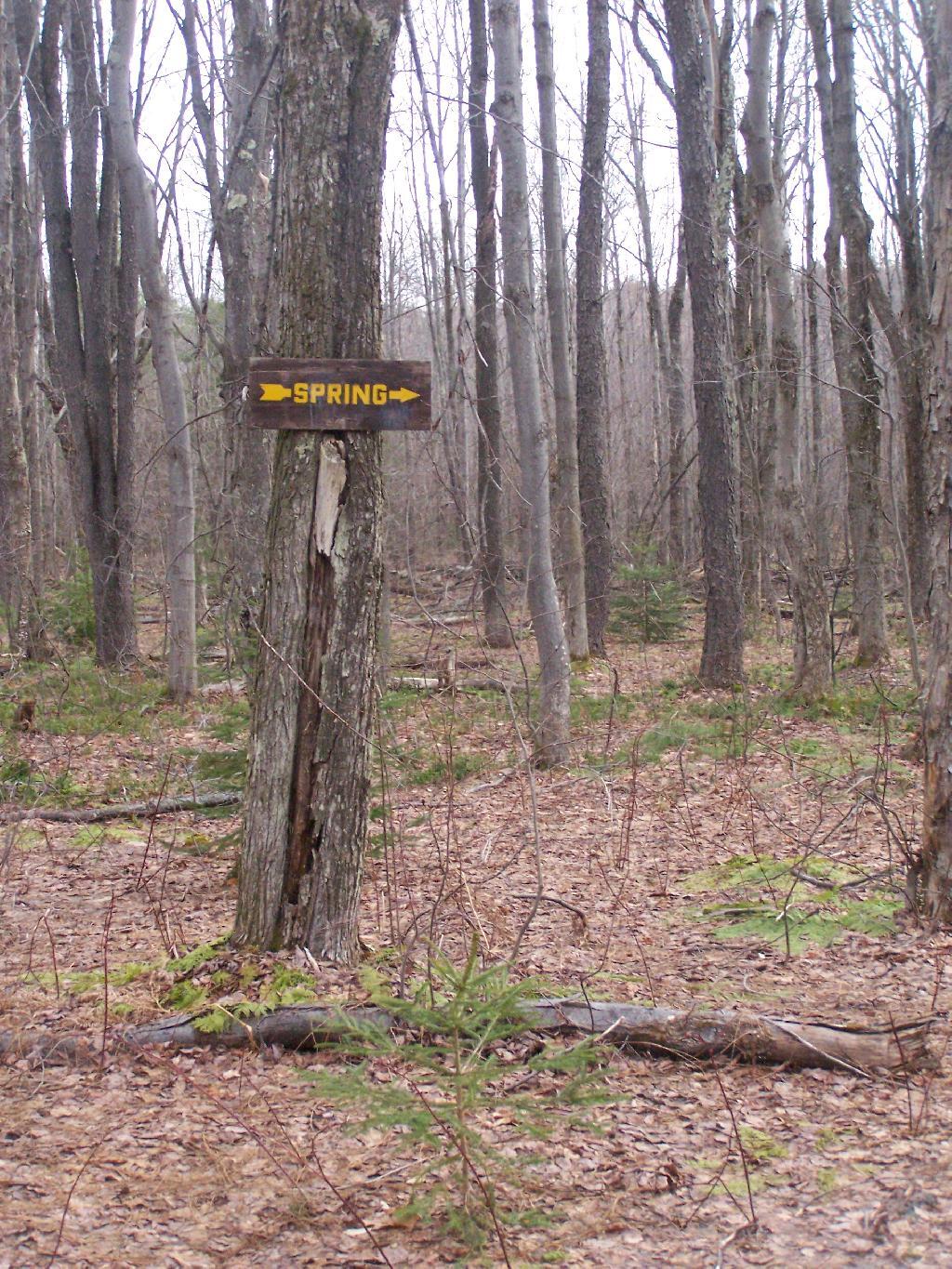
And it’s nearby a spring, or at least a marshy area that never gets wet.
It’s definately some place I would like to stay some day.
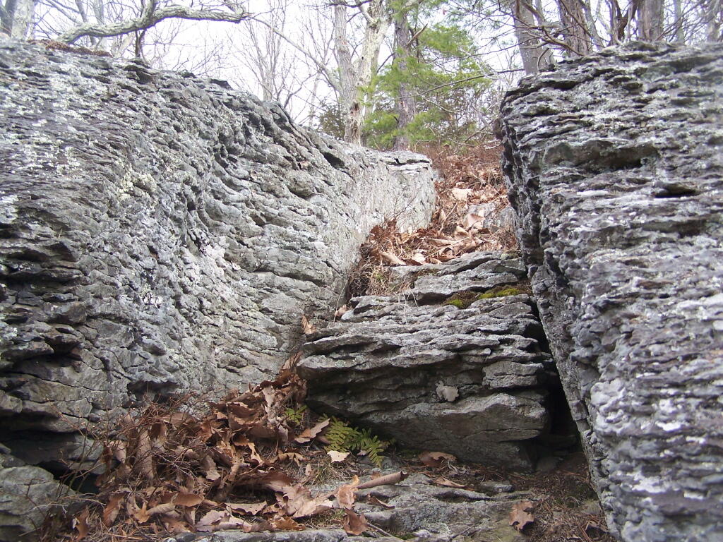
The Cliff of Middleburgh is not totally flat, but instead ascends several times as you go along it. The Long Path follows an ATV trail along this privately owned parcel.
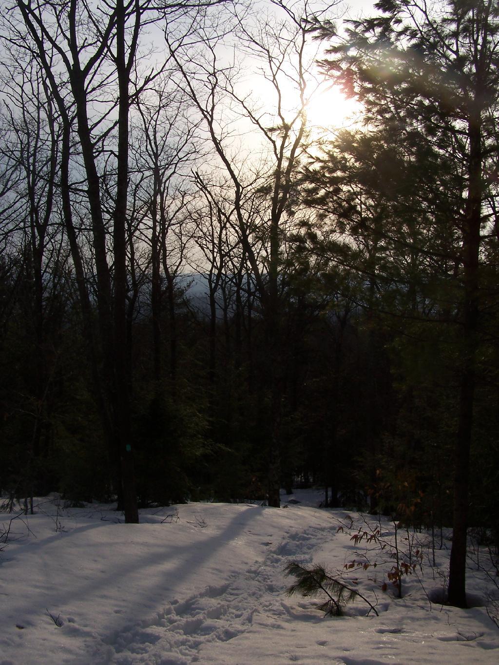
For the first day of spring it was around 65 degrees and sunny. The forecast promised only to get down into the upper 50s. The snow was gone in Albany, but in the mountains there was several feet. A top Cotton Hill, there was about two feet of snow.
Amazingly enough when I got up there, I was the only person who had been up to the lean-to since the last snow storm, probably two weeks ago now. It was very quiet except for the sounds of nature, from the snowy owl to the churbing robins.
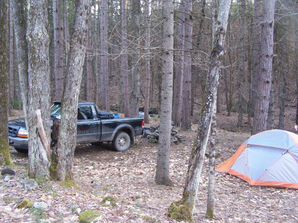
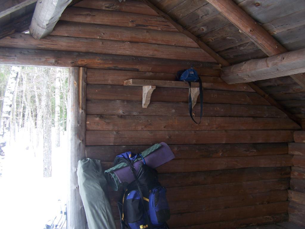
Reaching the lean-to, with gear all set up for the the night.
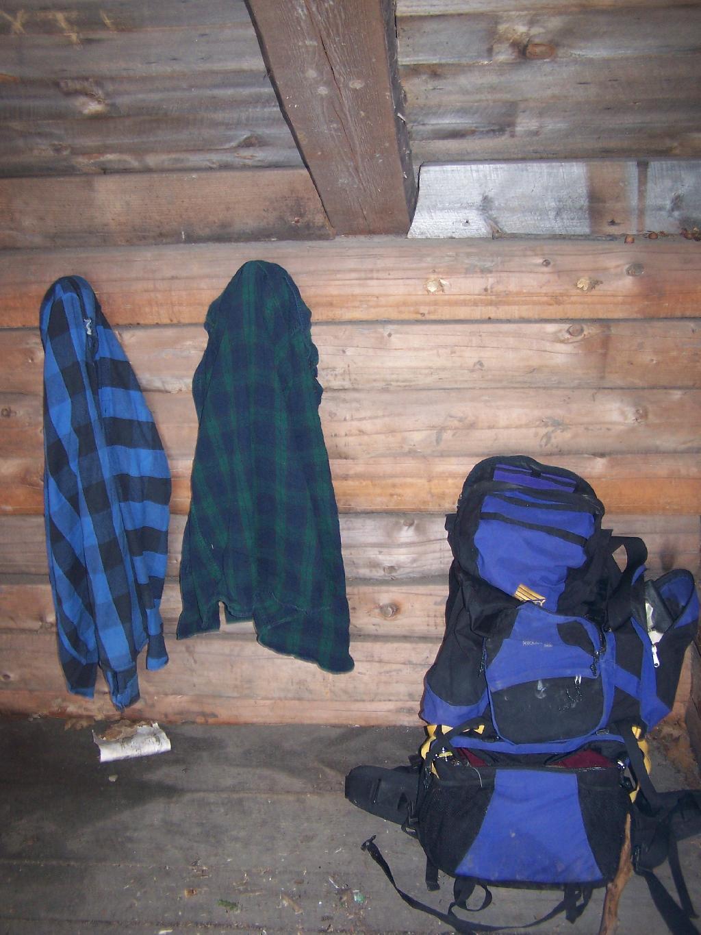
My backpack, and flannel shirts.
Sitting in the lean-to, looking at the setting sun. At the front of the lean-to, snow had melted off the roof, and was piling up in the front, creating a snow berm, keeping cool drafts away. Ironically, at this point due to the warm weather, I was sitting in a t-shirt and no jacket on.
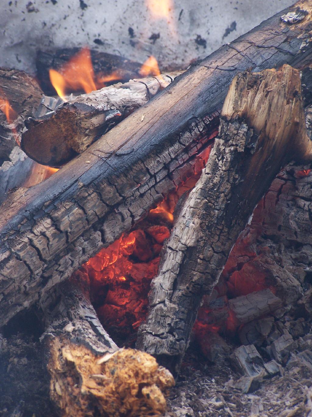
As I enjoy a nice a fire.
And night rapidly approaches.
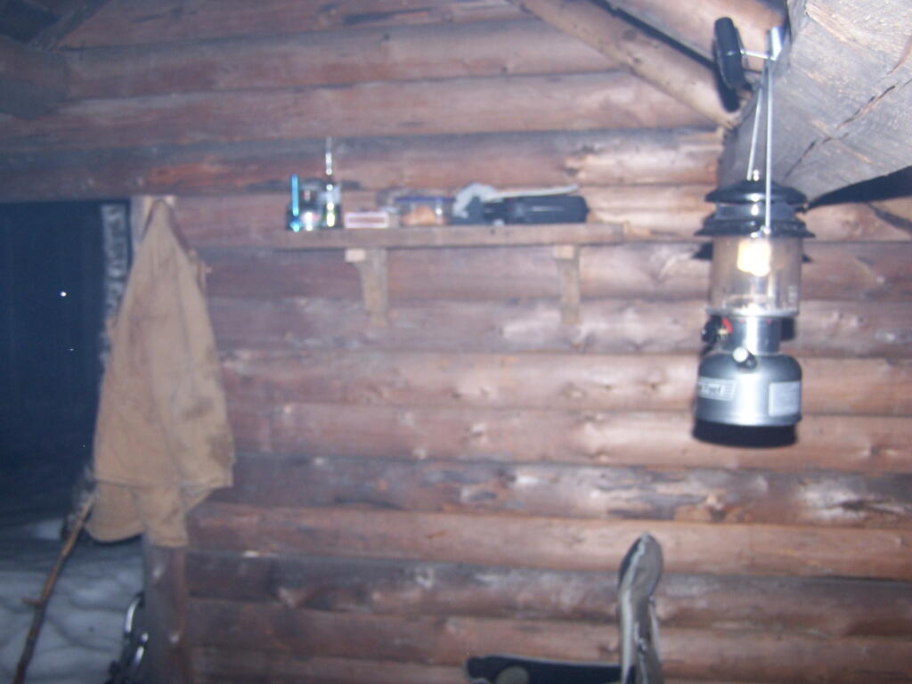
At times it was a bit smokey in the lean-to, as I played on my cellphone, jotted down some notes, read some books, and just enjoyed the first night of spring.
It was a nice night. When I woke up, it was a gray cloudy morning and I made up some breakfast and got cleaned up.
And I packed my bags…
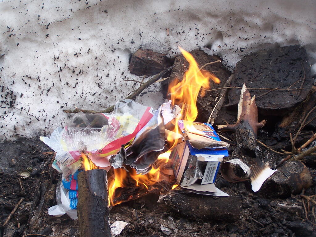
Burned my garbage from the past night…
And off I went, down to the truck, then off to Middleburgh Cliff. Here is a map of where the lean-to is.

![Untitled [Expires August 8 2024]](https://andyarthur.org//data/photo_004387_large.jpg)