Schoharie State Land Tree Cover
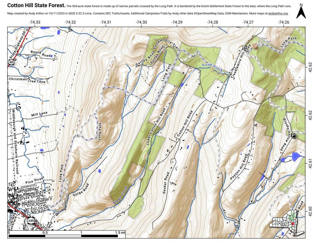
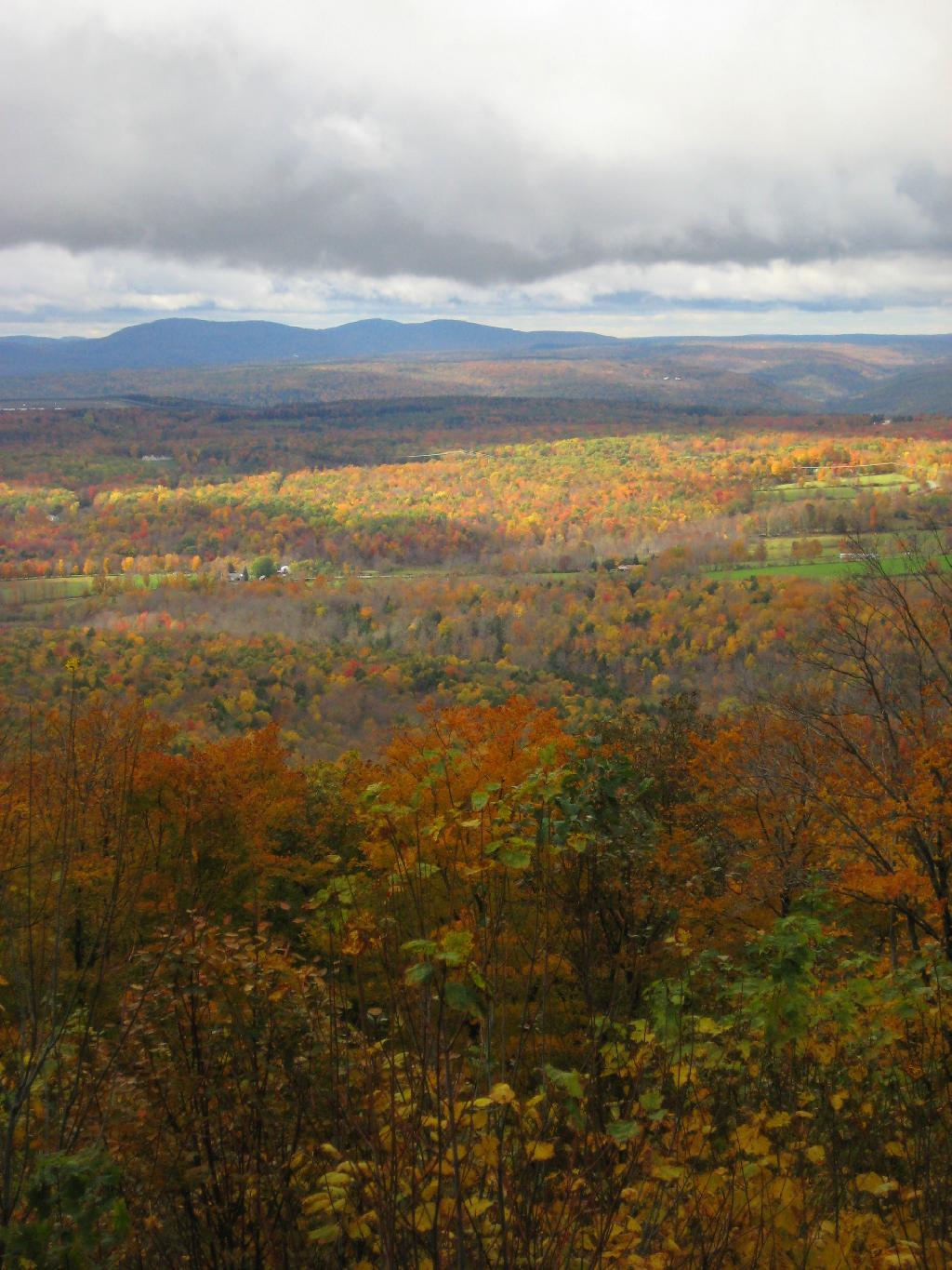
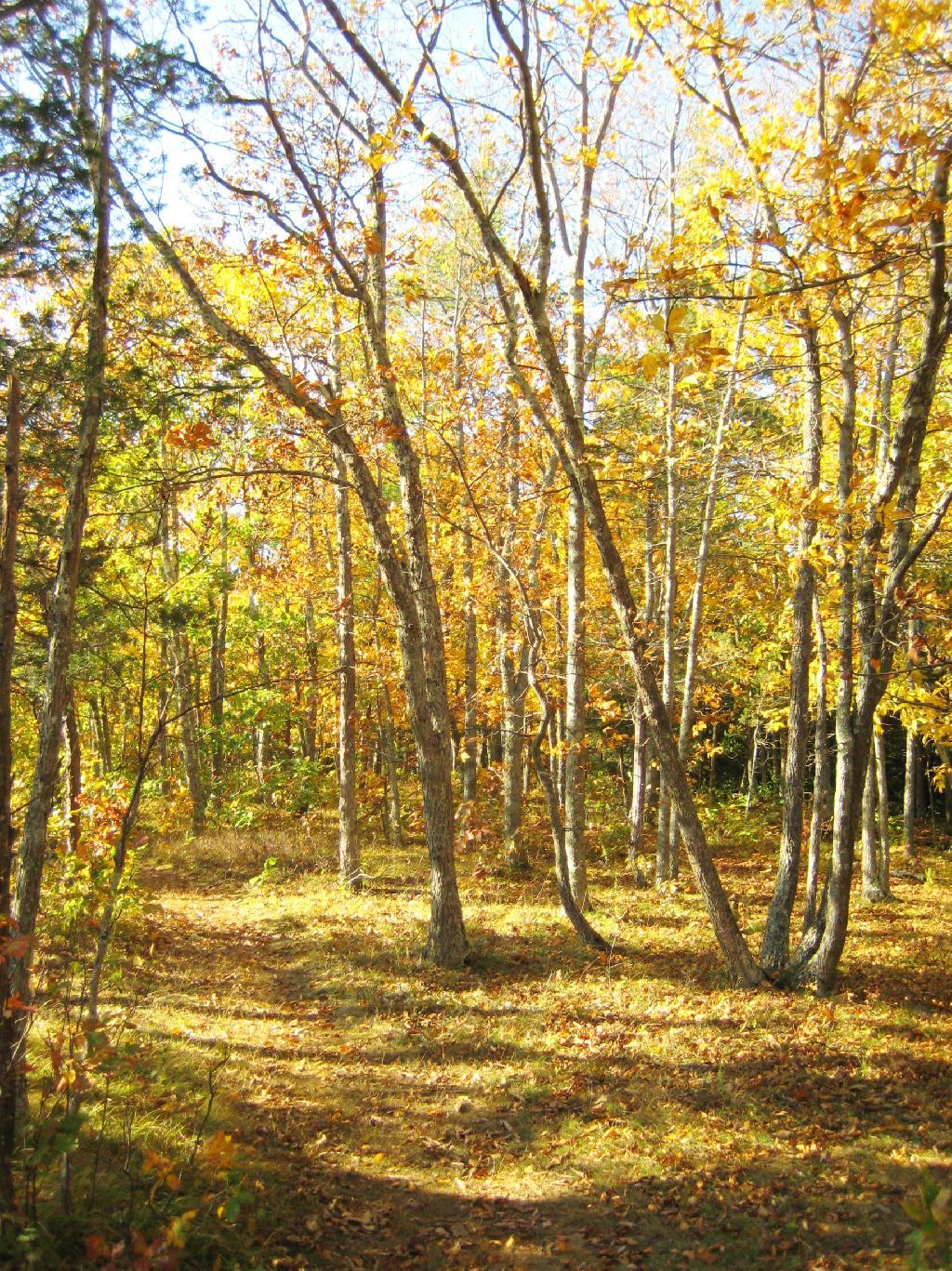
This interactive map shows the tree cover on state lands in Schoharie County. This is helpful for hunters and wildlife enthusiasts to know where the various forests are located.
Data Source: NY DEC STANDS Mapping System. Available as a shapefile on http://gis.ny.gov
