Mohawk Valley
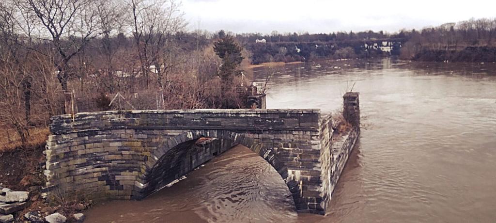
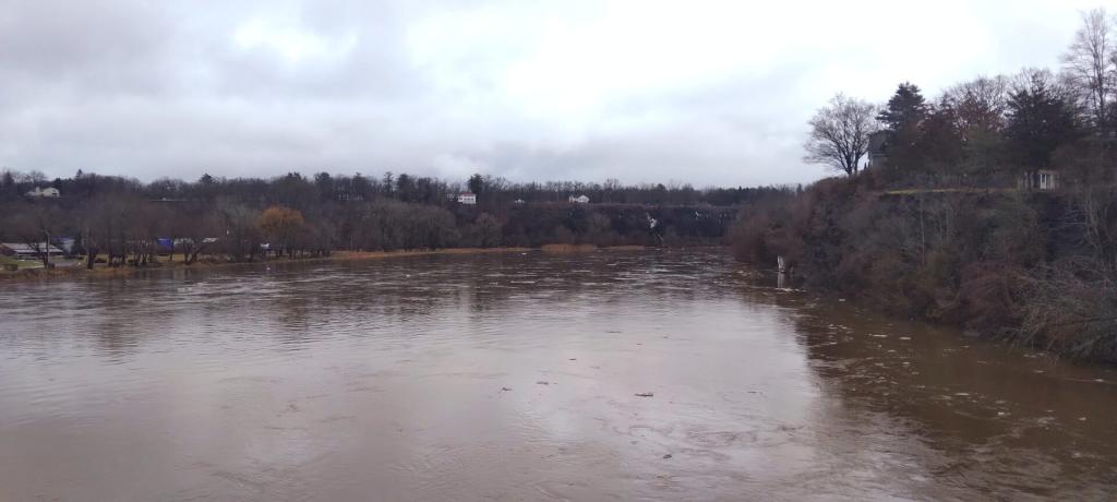
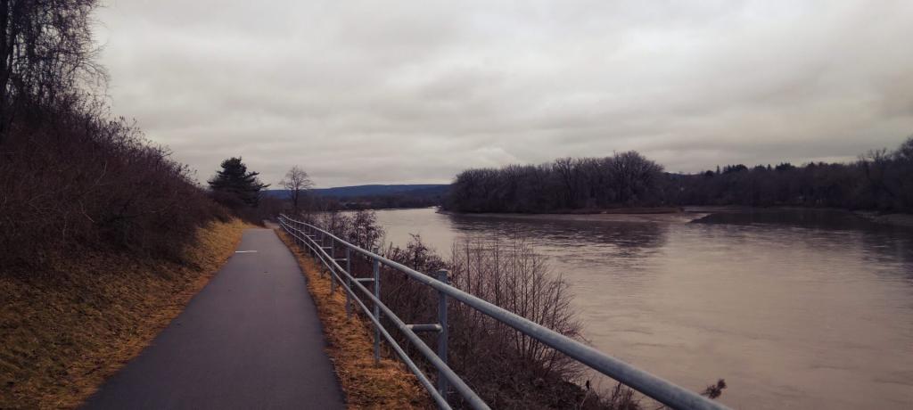
Mohawk River
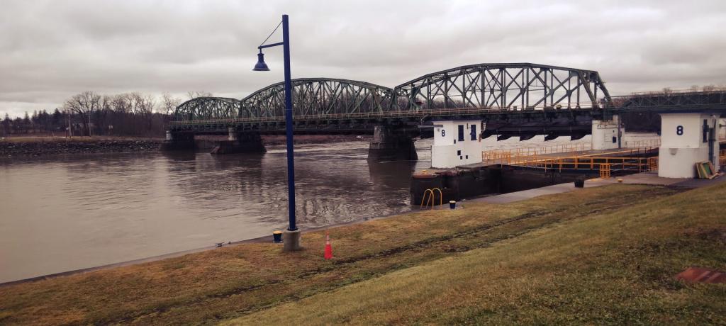
Lock 8
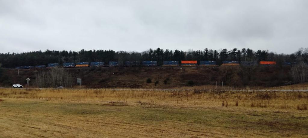
Amazon Train
Along the Mohawk RIver
National Land Cover Dataset – Mohawk Valley
Here is the Mohawk Valley with the National land Cover Dataset layer on. The area around the valley is quite agricultural, but once you head north a few miles it becomes quite forested.
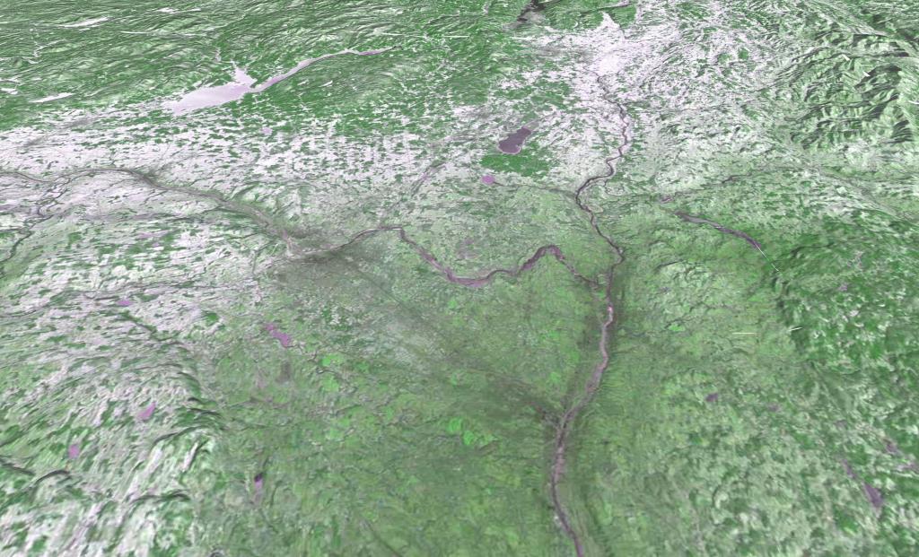
LANDSTAT 1 – January 8, 1973
Monday, January 8, 1973 after a snow storm that most impacted the higher elevation areas south of Adirondacks. LANDSTAT 1 satellite photo shown in 3D mode -- the LANDSTAT data going back to 1972 is all geo-referenced so it's super easy to play with it.
