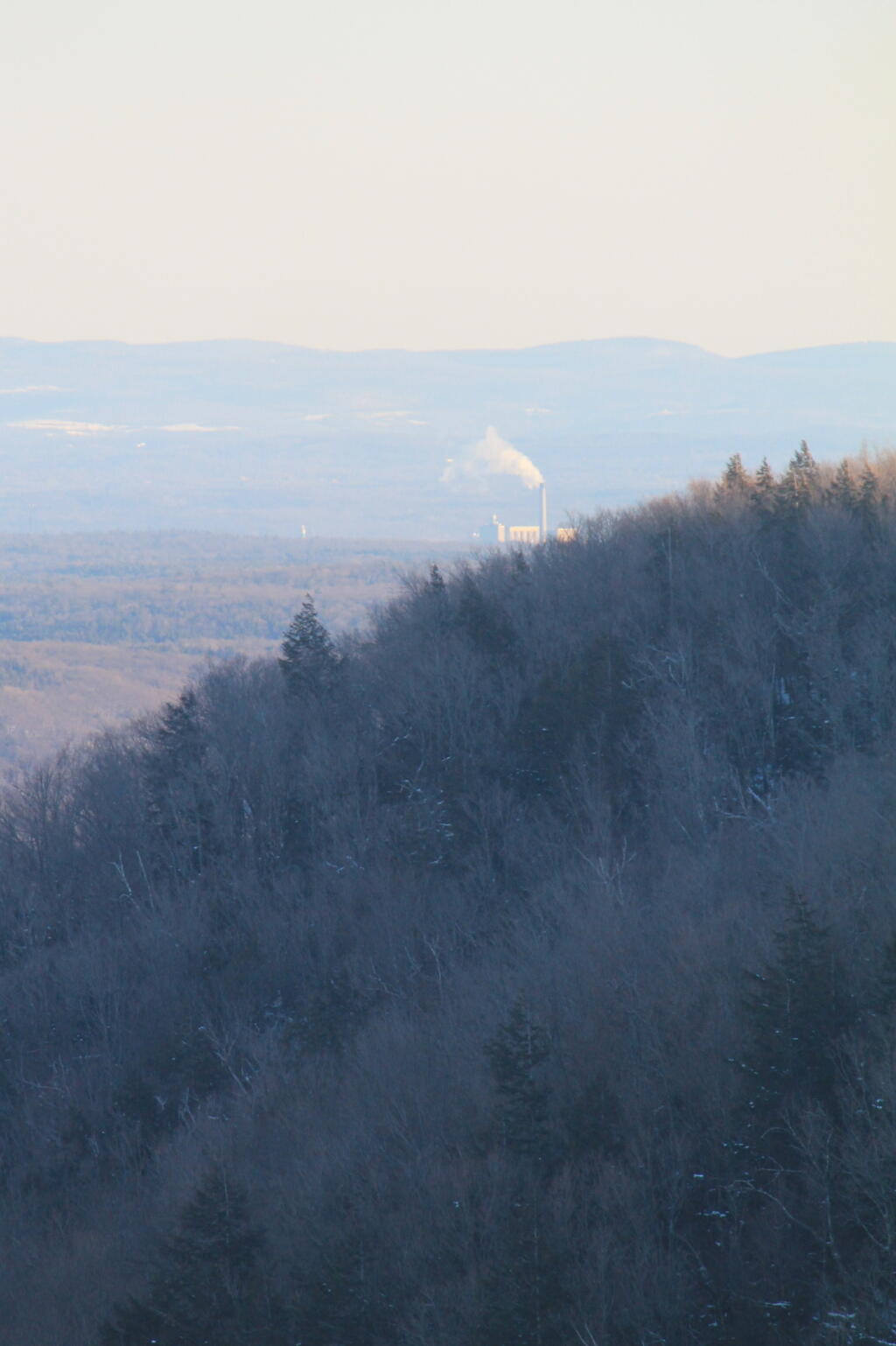
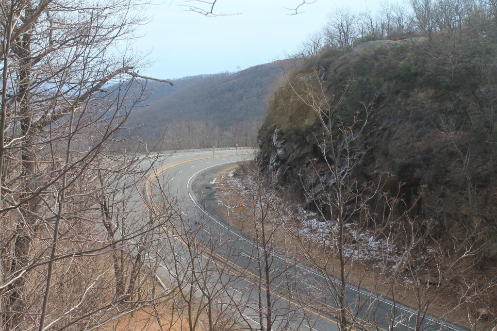
John Boyd Thacher State Park, is situated along the Helderberg Escarpment, one of the richest fossil-bearing formations in the world. Even as it safeguards six miles of limestone cliff-face, rock-strewn slopes, woodland and open fields, the park provides a marvelous panorama of the Hudson-Mohawk Valleys and the Adirondack and Green Mountains. The park has volleyball courts, playgrounds, ball fields and numerous picnic areas with nine reservable shelters. Interpretive programs are offered year-round, including guided tours of the famous Indian Ladder Trail. There are over 25 additional miles of trails for summer hiking and mountain biking, and winter cross-country skiing, snowshoeing, hiking, and snowmobiling.
I was reading about the Climate Emergency, and was thinking I have no real idea what an emergency is. Sure, I’ve heard the word emergency used in various contexts, but I’ve never heard it actually defined.
An emergency is a situation that poses an immediate risk to health, life, property, or environment. Most emergencies require urgent intervention to prevent a worsening of the situation, although in some situations, mitigation may not be possible and agencies may only be able to offer palliative care for the aftermath.
While some emergencies are self-evident (such as a natural disaster that threatens many lives), many smaller incidents require that an observer (or affected party) decide whether it qualifies as an emergency. The precise definition of an emergency, the agencies involved and the procedures used, vary by jurisdiction, and this is usually set by the government, whose agencies (emergency services) are responsible for emergency planning and management.
In other words, an emergency is a politically-defined situation. Emergencies aren’t self-evident, they are defined substantially in the context of the problem, seen through a lens of personal and community values.
A related term would be crisis, which by definition are negative situations that require action to avoid things getting worse. I feel like I have a better idea of what a crisis is, but a definition is worthwhile to review.
A crisis (plural: “crises”; adjectival form: “critical”) is any event or period that will lead, or may lead, to an unstable and dangerous situation affecting an individual, group, or all of society. Crises are negative changes in the human or environmental affairs, especially when they occur abruptly, with little or no warning. More loosely, a crisis is a testing time or an emergency.
U.S. Route 9W (US 9W) (141.83 mi or 228.25 km) is a north–south U.S. Highway in the states of New Jersey and New York. It begins in Fort Lee, New Jersey, as Fletcher Avenue crosses the US 1–9, US 46, and the Interstate 95 (I-95) approaches to the George Washington Bridge, and heads north up the west side of the Hudson River to US 9 in Albany, New York.
NY 9A (47.49 miles or 76.43 kilometres) is an alternate route of US 9 through Manhattan and Westchester County.
NY 9B (5.97 miles or 9.61 kilometres) is a spur in Clinton County linking US 9 in Chazy to US 11 in Rouses Point.
NY 9D (25.21 miles or 40.57 kilometres) is an alternate route of US 9 between the Bear Mountain Bridge and Wappingers Falls.
NY 9G (42.77 miles or 68.83 kilometres) is an alternate route of US 9 from Poughkeepsie, Dutchess County, to Hudson, Columbia County.
NY 9H (18.77 miles or 30.21 kilometres) is an easterly alternate to US 9 between Bell Pond and Valatie.
NY 9J (22.38 miles or 36.02 kilometres) is an alternate route of US 9 from Columbiaville to Rensselaer. NY 9J follows a more westerly alignment than US 9 to serve a series of communities along the Hudson River.
NY 9L (18.54 miles or 29.84 kilometres) is a loop off of US 9 between Glens Falls and Lake George in Warren County.
NY 9N (143.13 miles or 230.35 kilometres) is a lengthy alternate route of US 9 between Saratoga Springs and Keeseville. NY 9N is the longest suffixed route in New York.
NY 9P (12.17 miles or 19.59 kilometres) is a loop route connecting US 9 to Saratoga Lake southeast of Saratoga Springs.
NY 9R (3.21 miles or 5.17 kilometres) is a short loop serving Colonie in northeast Albany County.
Do you need to load a table in a PDF into an Excel document? You can do it using the free, open source tabula program.
It does require you install Java on your computer, but once you have Java installed, you open the tabula.jar file in Java then go localhost:8080 in your favorite web browser, open the PDF, select the table in the browser, and click download CSV and open it in Excel. Super easy!
There is also tabula bindings for Python and R if you want to do it programmatically.
Excerpt from Appalachia: A Report by the President’s Appalachian Regional Commission, 1964:
“In the future, Appalachia’s potential of timberland, fossil energy and recreational water and wilderness will be required for the satisfaction of our national goals. But further resource activity in the region if uncoordinated in its timing or its relationship to human and social capital could repeat the pattern and make little more than a piecemeal improvement of the Appalachian social and economic infrastructure.”
“Appalachia’s millions of people, whose material and social betterment the focus and end of all development effort, are also the region’s prime resource. Their individual distress is today a national liability: but their pooled personal hopes, talents and resourcefulness is a reservoir of creative energy the Nation can no longer afford to ignore.”
“The Appalachian people have no desire to abandon their traditional home, but whether they leave or stay, their continuing distress compounds a double loss for both the region and the Nation — the cost of welfare maintenance and the loss of productive vigor.”
I am a bit surprised to read that only 1.5 to 2 percent of desktop computers on the Internet are running Linux. Maybe a few decades ago that wouldn’t have surprised me, but with Linux being such a mature operating system with so many good programs, I can’t imagine ever running such clunky commercial software on Mac OS X or the Winders.