Massachusetts
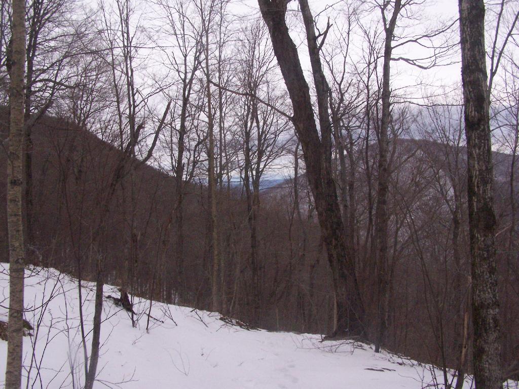
Looking Down Trail Towards Mount Prospect
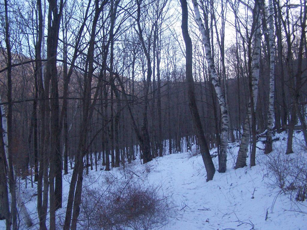
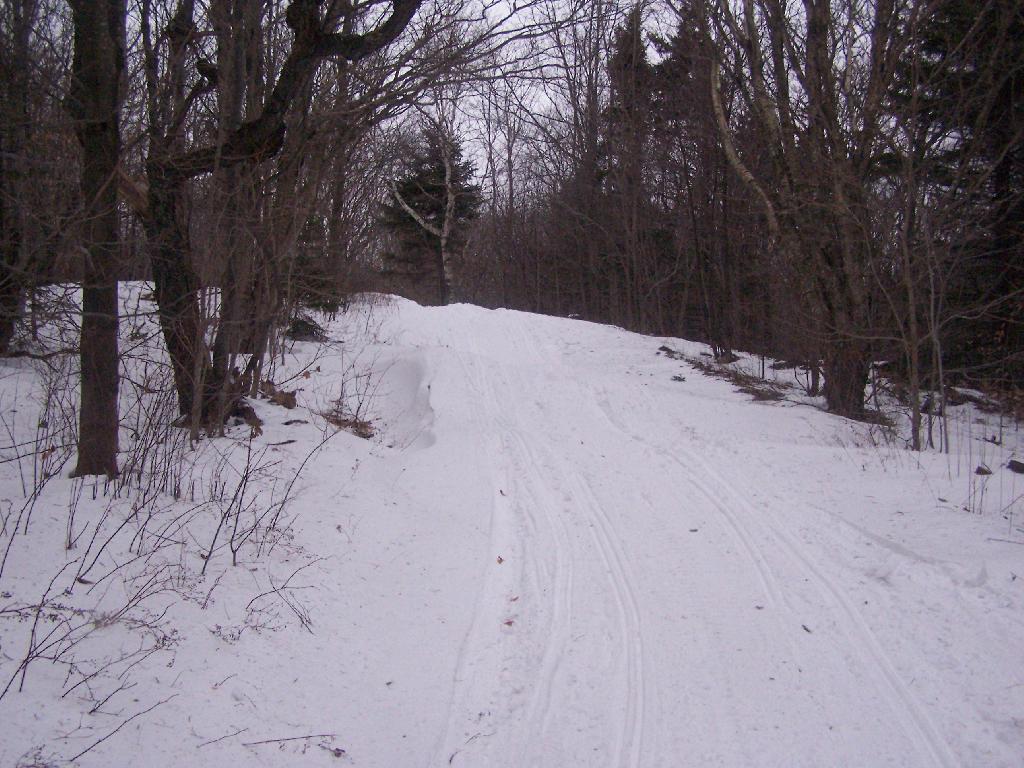
Heading Up Hopper Trail
Hopper Trail to Summit Sign
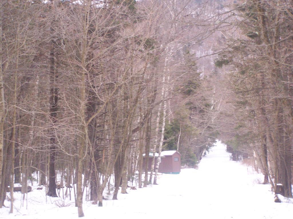
This is an old woods road to campground, Mount Greylock Summit, and Stony Ledge, the later which I would visit on this particular day. Wish I had time to have visited the peak of Mount Greylock.
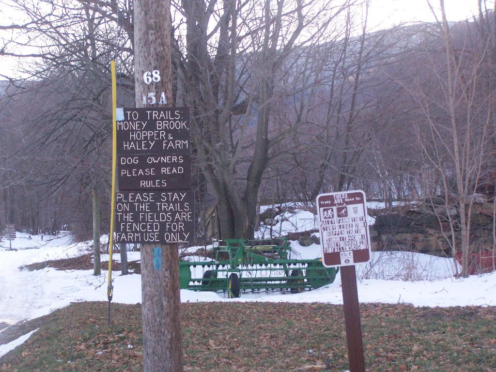
Taken on Sunday December 13, 2009 at Mount Greylock.Hadley Farm Sign
Welcoming you to trail, giving rules.
Taken on Sunday December 13, 2009 at Mount Greylock.Stony Ledge at Mount Greylock
For about two months now I’ve been really itching to go out hiking on Mount Greylock. I have wanted to say I’ve “conquered” yet another peak. Last Sunday I decided it was time to go. I realised though with the short days and the snow predicted for the afternoon, I would not be able to make it all the way up Greylock, but would have to settle for Stony Ledge from the Hadley Farm.
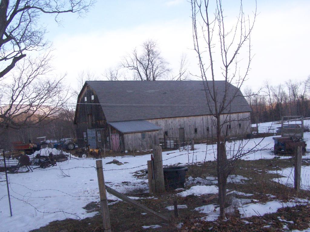
Hadley Farm is a working beef cattle farm, and while the cows where in the barn, you can smell the livestock in the barn. The farm is privately owned, Massachusetts Department of Conservation Resources (DCR) owns a parcel of a land directly to the south of the barn, an old field that is snowploughed to allow parking.
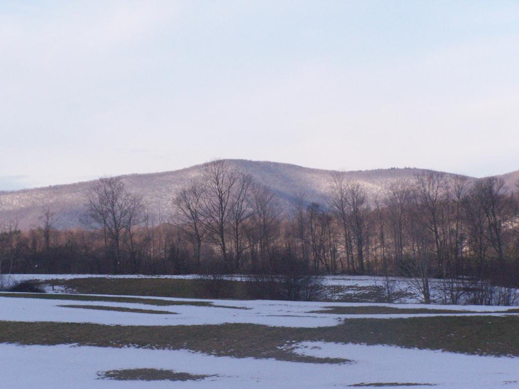
One of the first views directly to the west of the trail-head is the beautiful Deer Ridge, a set of lower mountains directly to the west of Mount Greylock.
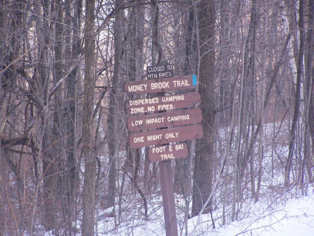
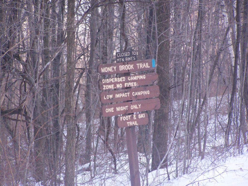
For a while the Hopper Trail is co-signed with the Money Brook Trail. Along the Money Brook they allow dispersed camping, which is not allowed in other areas. This portion of the Hopper Trail is relatively flat, with some climbing, but nothing too major.
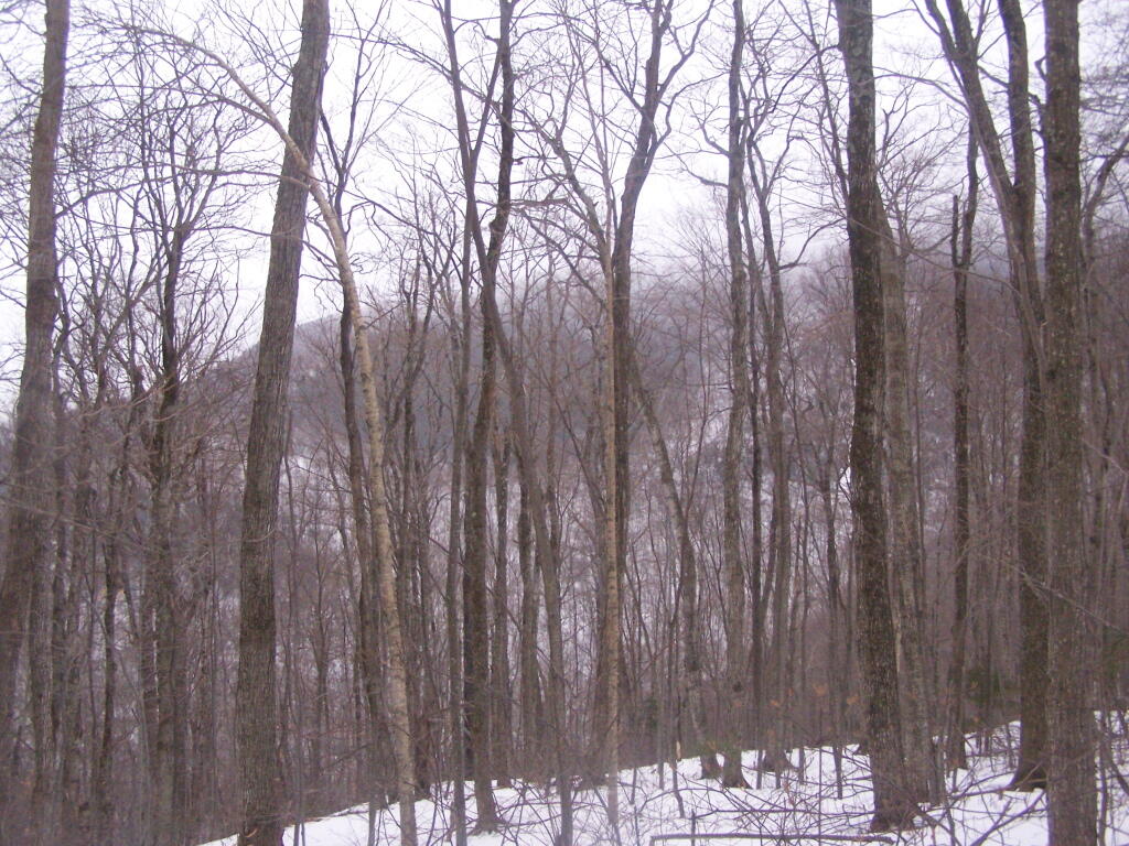
The trail I took up with the Hopper Trail, an old woods road that connects up with the camp ground on Stony Ledge. As I had gotten a fairly early start hiking up, the sun had yet to rise over the high mountains, so things where still in a shadow. The deep valley I am in is called the Hopper.
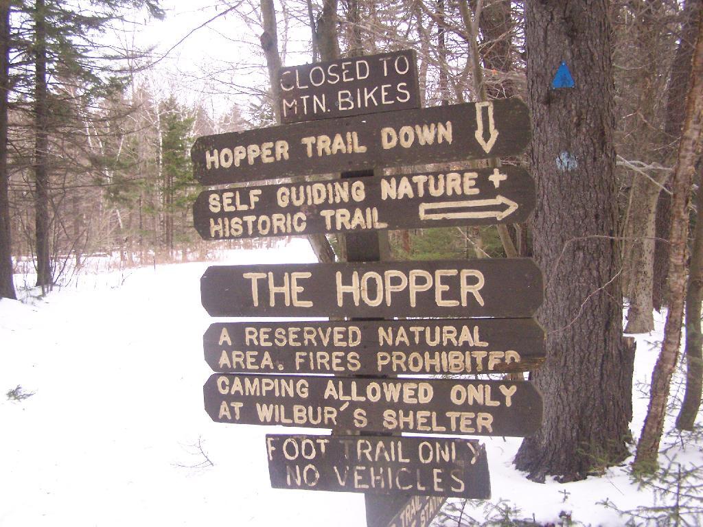
When you reach the Sperry Road Campground (free primitive backpack/horseback/snowmobile campsites), here is the sign for The Hopper / Hoper Trail. In Massachussets they sometimes get a bit carried away with all the words they use on their signs.
Here is Sperry Road / Campground. Right now it’s being used as a snowmobile trail. In the background is the side of Mount Greylock, some 1,000 feet above Sperry Road.
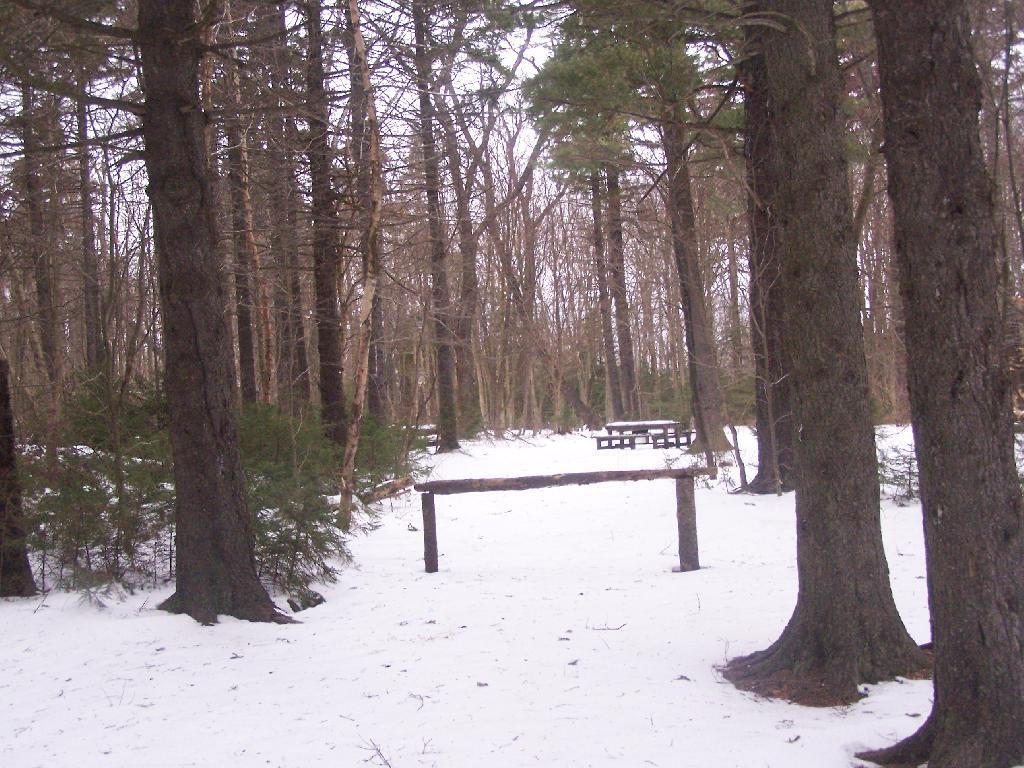
Here is Campsite R6 at Sperry Road. All of the campsites have picnic tables, the tiny little fire pits that are standard issue by MassDCR, and a hitching post for horses.
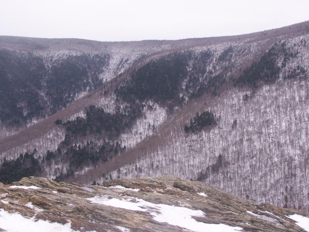
Reaching Stony Ledge. I’m tired. I sit down at the picnic table, and take off my snowshoes, and look down at the Hopper and the Taconic Mountains in the distance. The snow had largely blown off the face of the mountain.
Here is the pass between Mount Greylock and Mount Prospect. The “wrinkles” in the mountain, and the stony-nature of Stony Ledge just seemed so perfect for this rapidly greying day.
I didn’t spend much time at Stony Ledge. Shortly after reaching Stony Ledge, it started to sleet (ice pellets) pretty hard. My left-cleet came apart on my snowshoe, so I decided I’d better head back. I wanted to find the pieces that fell off my snowshoe, so I returned the way I went up the mountain.
Part of the descent down on Hopper Trail was quite steep and icy. With my broken snowshoe, which I later found the parts for on the trail, it was a slippery descent. The old roadbed was covered with a thick layer of ice, made slipper from the sleet, and at an almost 45 degree angle to the roadbed, because of drifting snow.
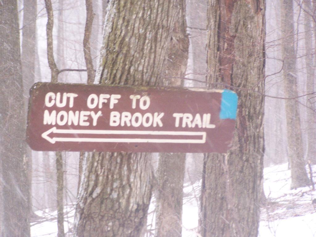
Looking up towards the Cut Off to Money Brook around 1:30 PM as the snow was rapidly flying around and coming down. It wasn’t quite whiteout conditions, but it was very white. It would change from ice pellets/sleet to snow then to ice pellets, and finally back to non-freezing rain.
By the time I made it back to my truck, it was pouring rain out. Much too wet to get the camera out for sure. I hopped in the cab of my truck, took off my thermal overalls, and got warm. It was a long drive home on very slippery roads, but it was worth it.
Here is a map of the route, in blue.
View Hikes of 2009 in a larger map
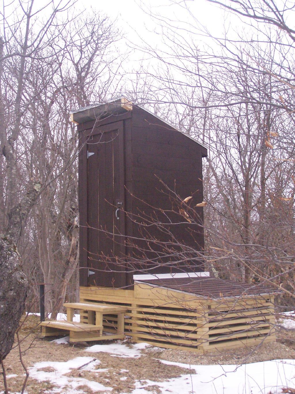
Stony Ledge Out-House
I always love taking pictures of various out-houses on the mountains. Don't ask why, it's just part of what you see out there.
Taken on Sunday December 13, 2009 at Mount Greylock.