Lewis County

Lewis County is a county located in the U.S. state of New York. As of the 2010 census, the population was 27,087.[1] It is named after Morgan Lewis, the Governor of New York when the county was established. Its county seat is Lowville.

Lewis County is located in northwestern New York State, slightly east of due north from Syracuse. The eastern part of the county is in the Adirondack Park. A good portion of the Tug Hill Plateau is in the western part of the county. The county is home to the Black River Valley.

http://en.wikipedia.org/wiki/Lewis_County,_New_York

Lowville

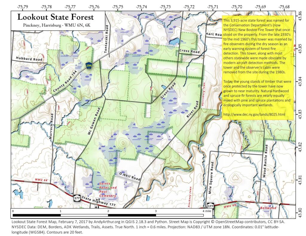
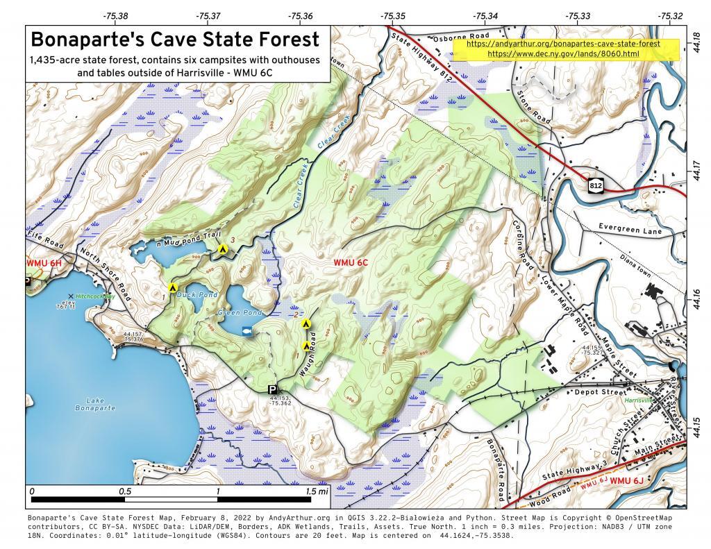
I do find the hillshade to make even most boring map a little more attractive. Not all of New York has the LiDAR data in the 3D Elevation Program, like with Albany County, but a lot of places do, and it's far nicer then the traditional digital elevation models.

Confusion Flats

Confusion Flats is located in the Independence River Wild Forest and Otter Creek State Forests, and it's a series of sand trails and roads that are popular with horseback riders and off-roaders.
Red Horse Trail

Red Horse Trail [Expires January 23 2024]

The Red Horse Trail in the southern Five Ponds Wilderness of the Adirondacks is a historic, challenging trail dating back to 1922. Spanning five miles from Big Burnt Lake to Clear Lake, it features serene lakes, old-growth forests, and wetland boardwalks. Divided into three sections, the trail's remoteness and limited access, primarily by boat, preserve its wilderness character. Highlights include Salmon Lake, Witchhopple Lake, and Clear Lake, with a mix of challenging and level terrain. The trail offers opportunities for camping, canoeing, and kayaking, providing a genuine wilderness experience away from more frequented Adirondack trails. Learn more here: http://tinyurl.com/red-horse-trail