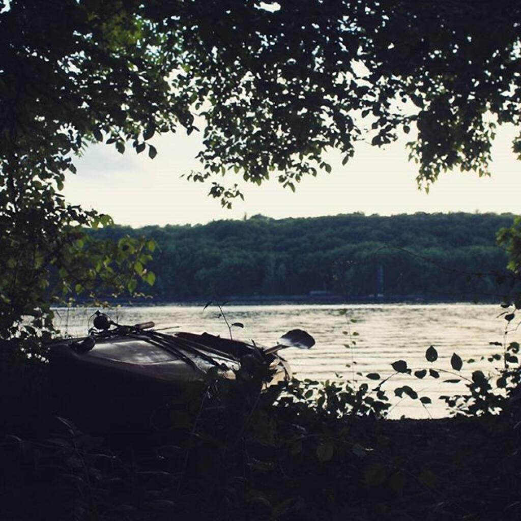
Hudson Valley 📍

Tide going out


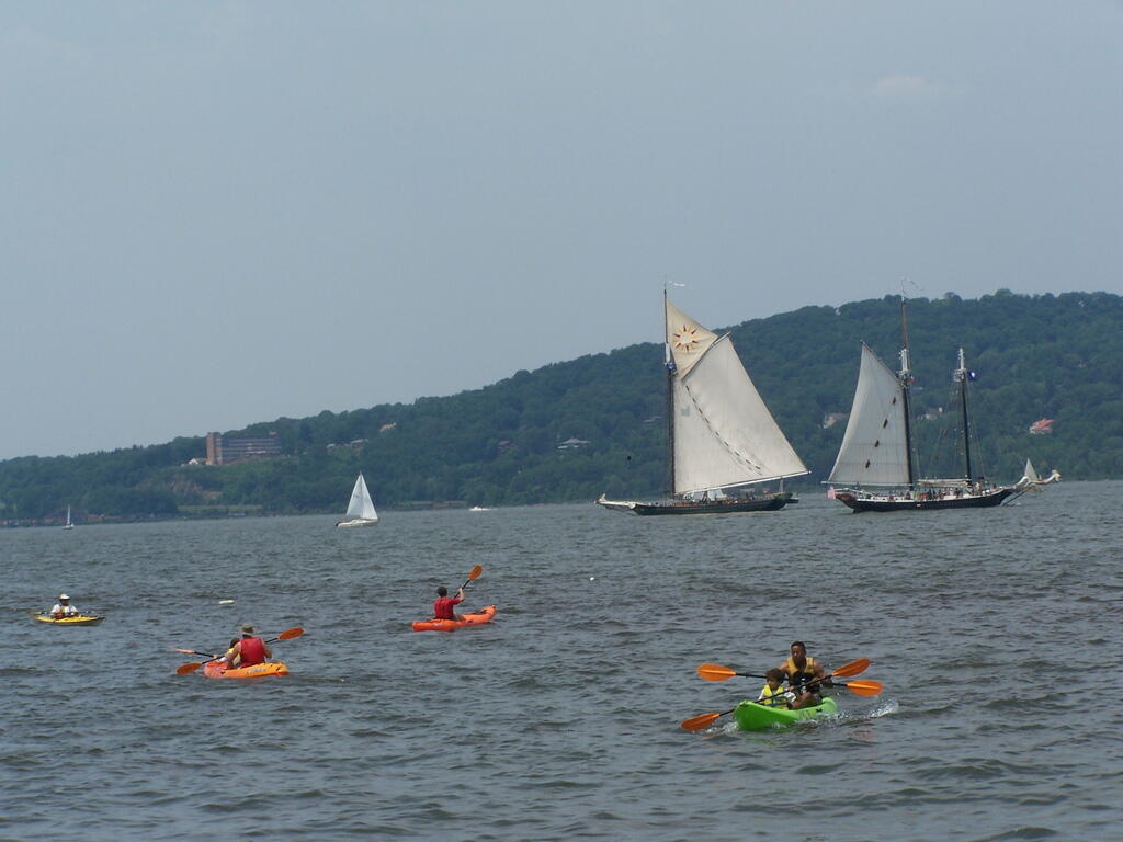
More Boats on River

Sunset Thru Tree
This is the another example of the beautiful sunset that occurred on Friday night as the clouds cleared out for beautiful weather on Sunday.
Sunday June 15, 2008 — Clearwater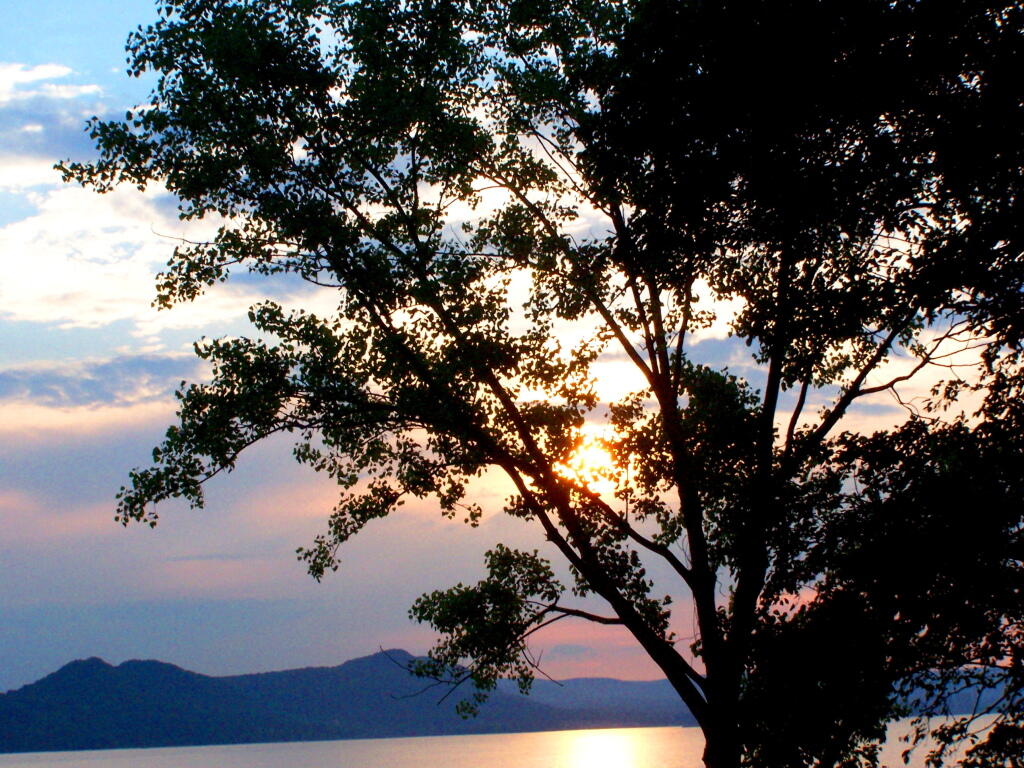

River