Hamilton County
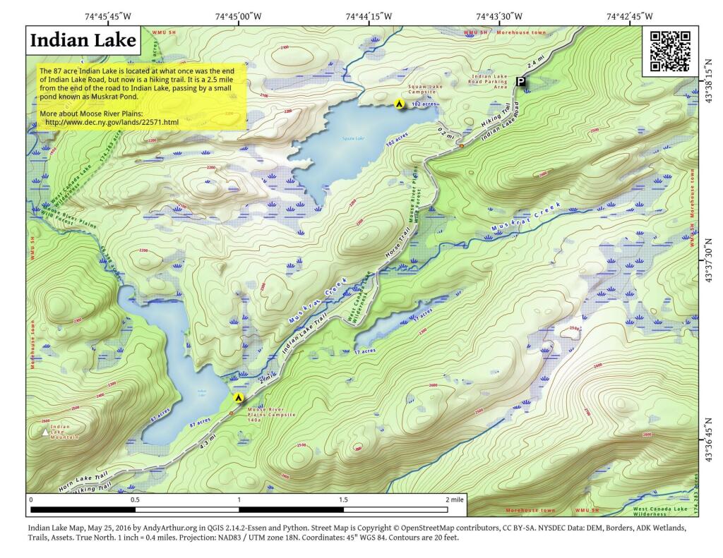
Indian Lake
This map shows the Indian Lake Trail from Squaw Lake, past Muskrat Lake to Indian Lake at Moose River Plains. The old Indian Lake Road terminates about a 1/4 mile before Squaw Lake pursuant to a compromised implemented under the demands of the wilderness activists.
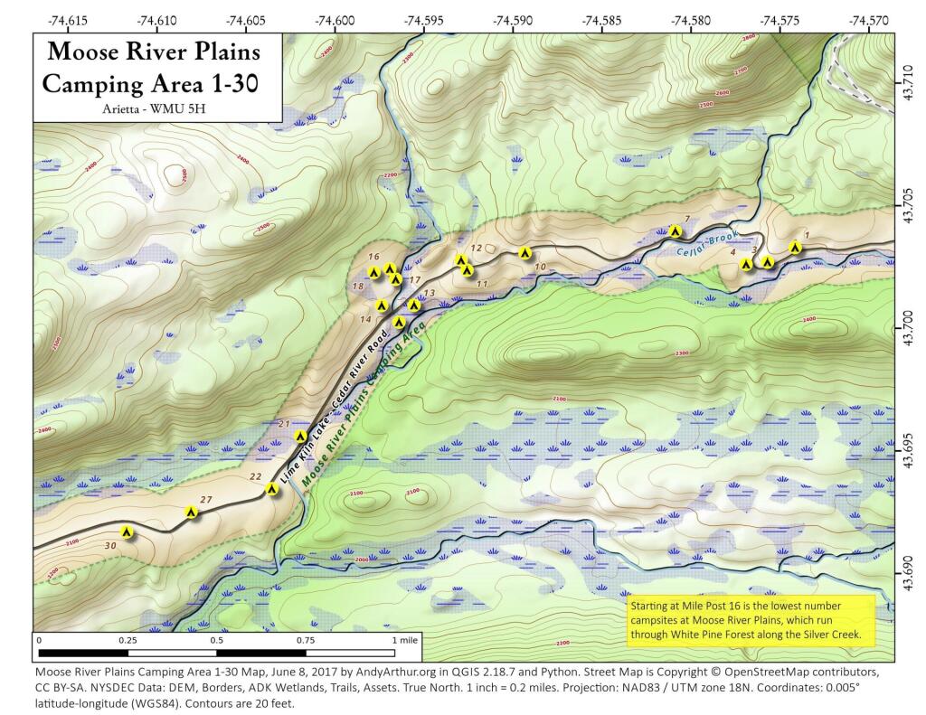
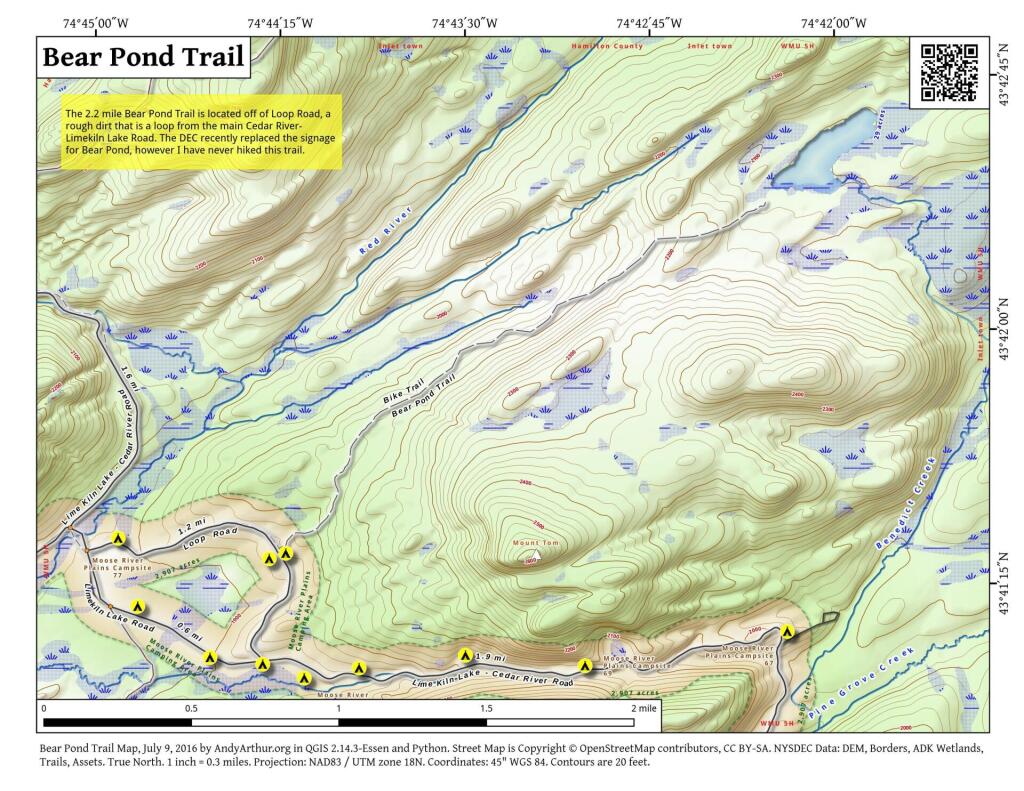
Moose River Plains Camping Area 1-30
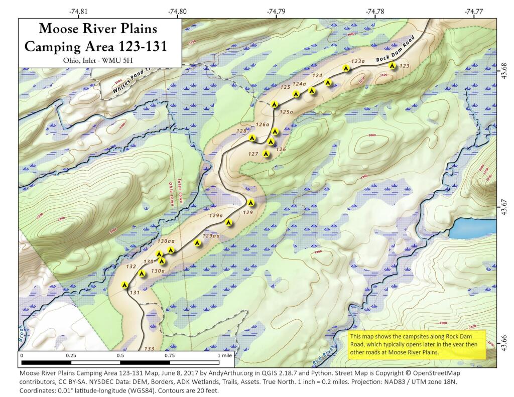
Moose River Plains Camping Area 123-131
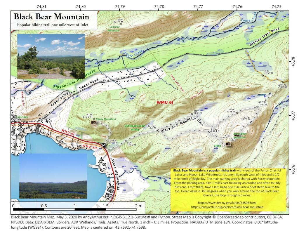
Black Bear Mountain
43.76917976445229,-74.7697504393449
Black Bear Mountain is a popular hiking trail with views of the Fulton Chain of Lakes and Pigeon Lake Wilderness. It's one mile south-west of Inlet and a 1/2 mile north of Eagle Bay. The main parking area is shared with Rocky Mountain. From the parking area, hike 1 miles east following an eroded and often muddy dirt road. From there, take a left, head one mile until a brief steep hike to the top. Great views in 360 degrees when you walk around the top of Black Bear. Overall, the loop is roughly 5 miles.
https://www.dec.ny.gov/lands/53596.html
https://andyarthur.org/explore/black-bear-mountain
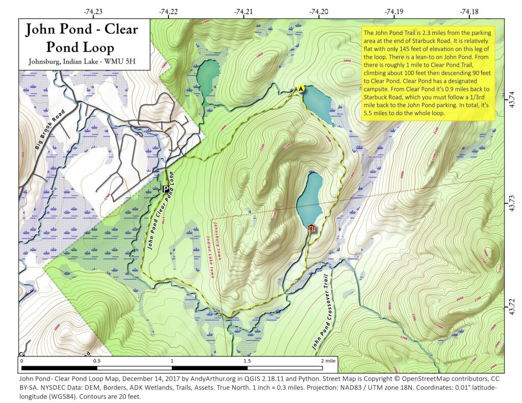
John Pond – Clear Pond Loop
John Pond Trail extends 2.3 miles and ascends 145 feet from the John Pond trailhead to John Pond and a lean-to on the pond. The pond provides a scenic view of the small unnamed mountain that wraps around its shore. Clear Pond Trail extends 0.9 mile from the Clear Pond trailhead to the north end of Clear Pond. The trailhead can be accessed from the John Pond trailhead parking area by walking .35 mile on Starbuck Road. The trail climbs 330 feet for first 0.8 mile from the parking area before descending 90 feet to the pond. John Pond Crossover extends 3.4 miles from the John Pond Trail - 0.4 mile from John Pond - to the West Puffer Pond Trail - 1.5 miles from the King's Flow trailhead. Traveling from the John Pond Trail the trail ascends 365 feet and then descends 100 feet before reaching the West Puffer Pond Trail.
