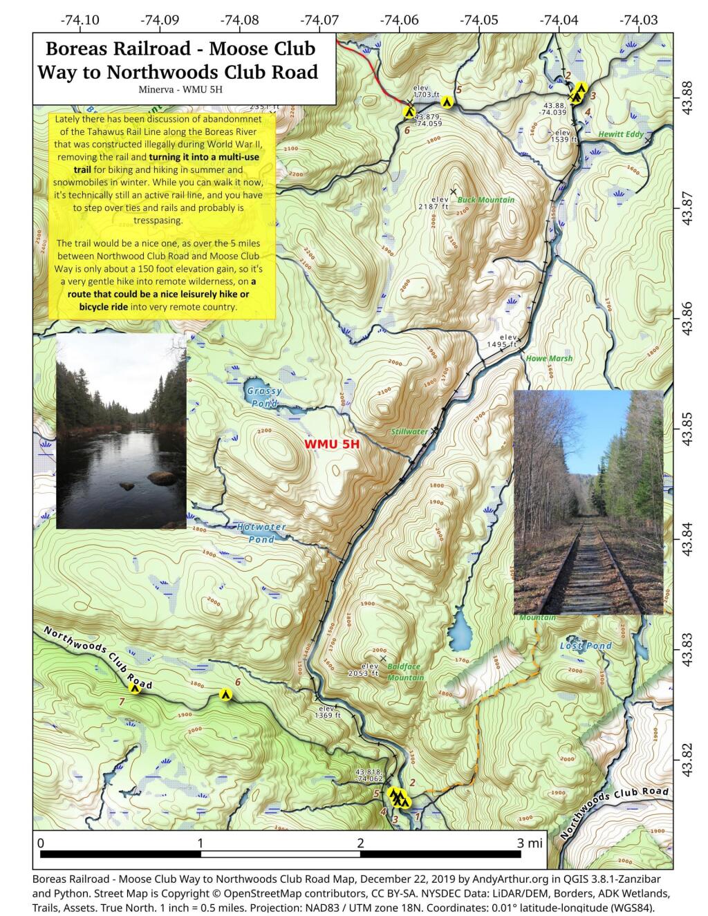
Lately there has been discussion of abandonment of the Tahawus Rail Line along the Boreas River that was constructed illegally during World War II, removing the rail and turning it into a multi-use trail for biking and hiking in summer and snowmobiles in winter. While you can walk it now, it's technically still an active rail line, and you have to step over ties and rails and probably is trespassing.
The trail would be a nice one, as over the 5 miles between Northwood Club Road and Moose Club Way is only about a 150 foot elevation gain, so it's a very gentle hike into remote wilderness, on a route that could be a nice leisurely hike or bicycle ride into very remote country.
Old NY 10 running on the east side of Goodman Mountain couldn't have been in use very long as it's not seen on the 1907 USGS topographic maps and by the mid-1950s has already been by-passed in favor of the modern western alignment along the lake.
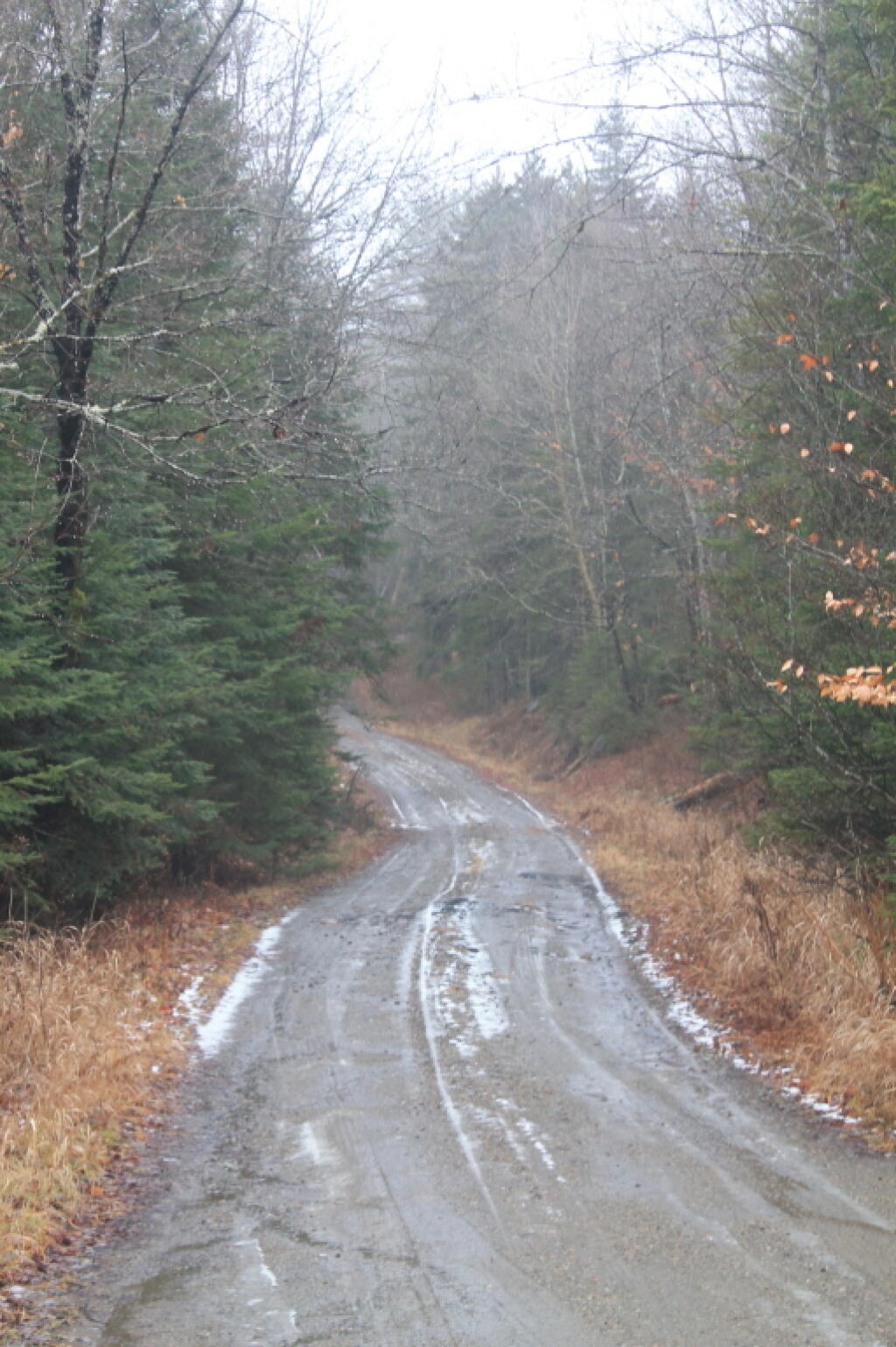
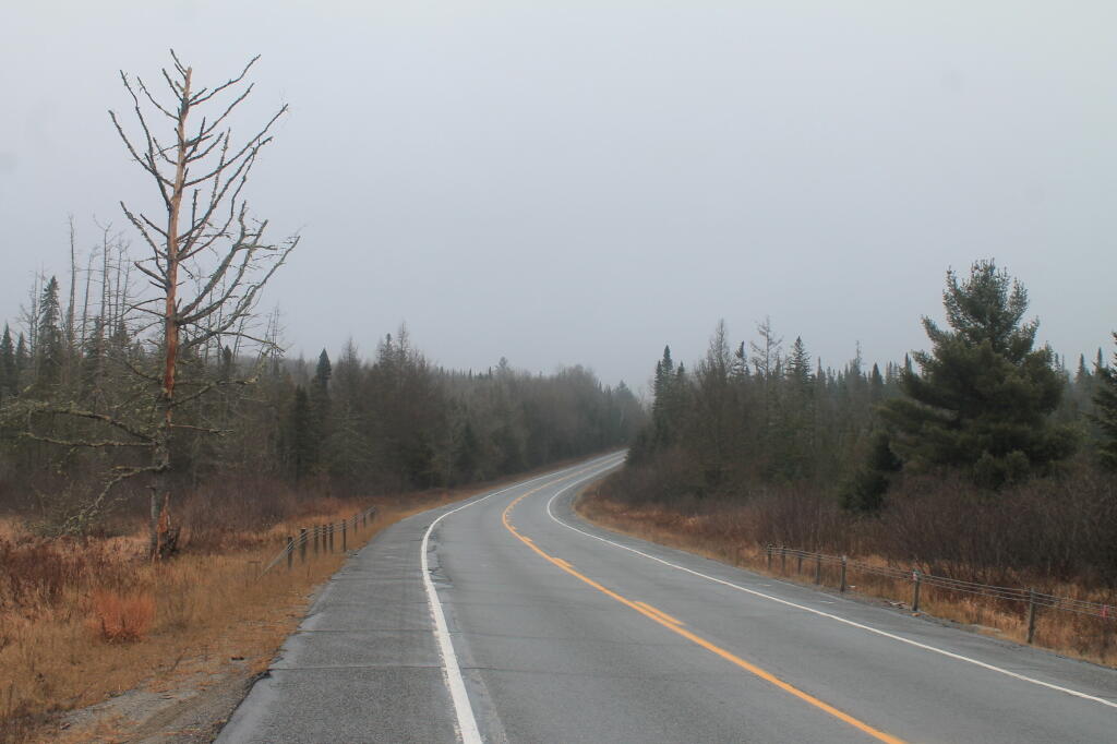
Old highway alignments come in all shapes and sizes, as well as taking some different forms after their lifespan of serving cars and trucks has ended. In the case of an old alignment of what was NY 10 south of Tupper Lake, New York, part of the old road was turned into part of a hiking trail to go up Goodman Mountain. At one time, the road passed by Goodman Mountain to the east, or Litchfield Mountain as it was known at the time. As the years passed, sometime around 1960, the part of NY 10 north of Speculator became part of NY 30, and remains that way today from Speculator, past Indian Lake and Tupper Lake and up to the Canadian Border. At one time, the highway was realigned to pass the Goodman Mountain to the west, leaving this stretch of road to be mostly forgotten and to be reclaimed by nature.


