Essex County
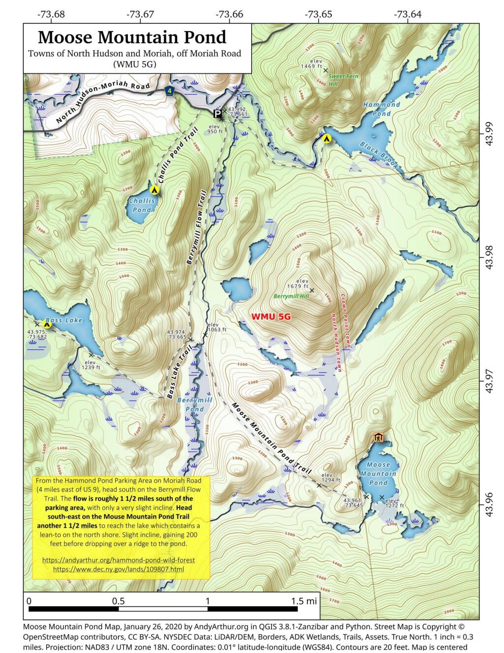
Moose Mountain Pond
From the Hammond Pond Parking Area on Moriah Road (4 miles east of US 9), head south on the Berrymill Flow Trail. The flow is roughly 1 1/2 miles south of the parking area, with only a very slight incline. Head south-east on the Mouse Mountain Pond Trail another 1 1/2 miles to reach the lake which contains a lean-to on the north shore. Slight incline, gaining 200 feet before dropping over a ridge to the pond.
https://andyarthur.org/hammond-pond
https://www.dec.ny.gov/lands/109807.html
Keene Valley
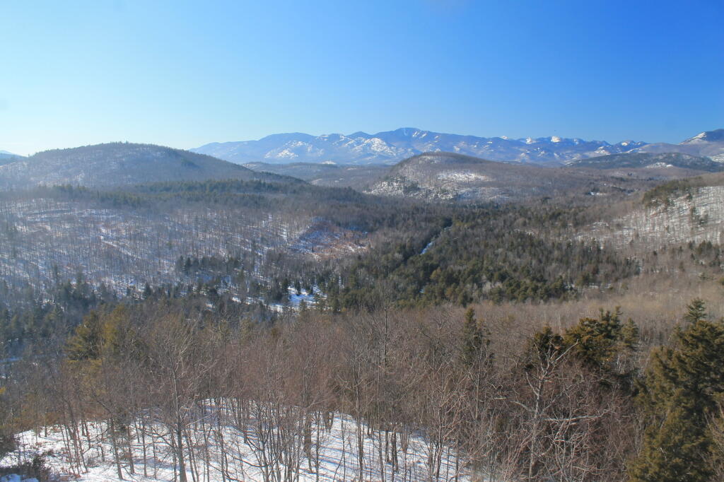
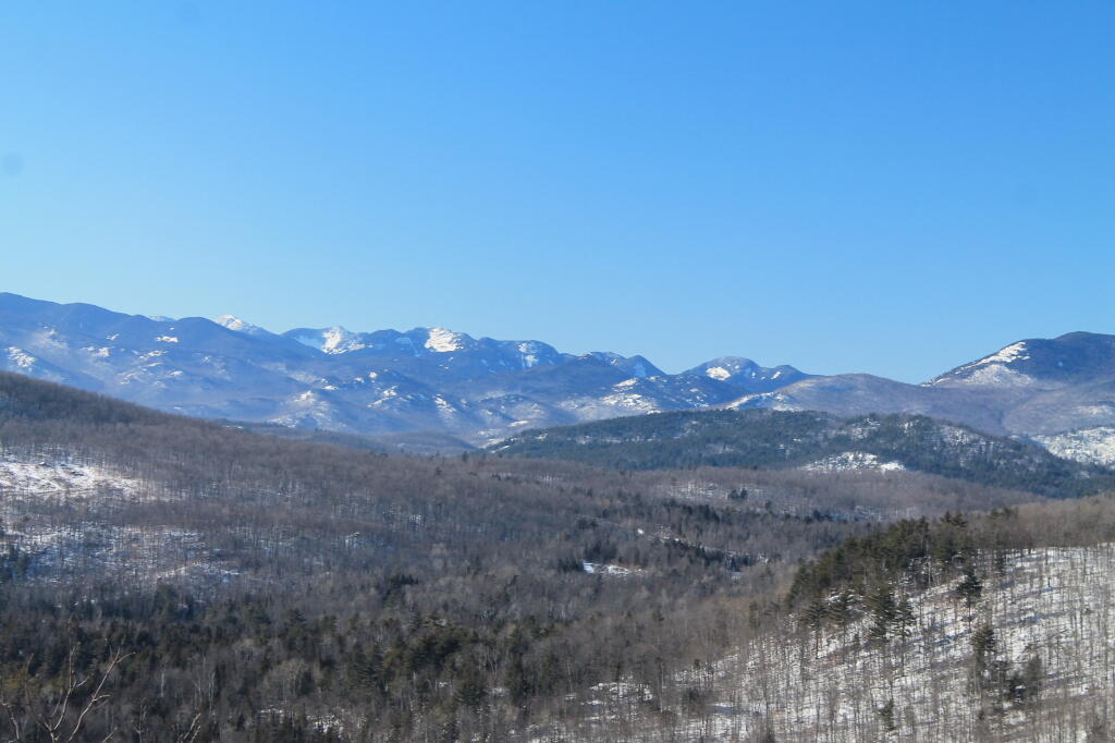
Looking through the high peaks, past Giant Mountain.
West
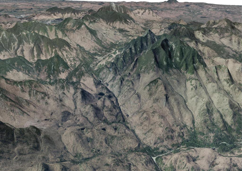
Giant Mountain
Interactive map of Giant Mountain in the High Peaks of the Adirondacks. Campsites are from the DEC, Scenic Vistas are from OpenStreetMap (CC-BY-SA).
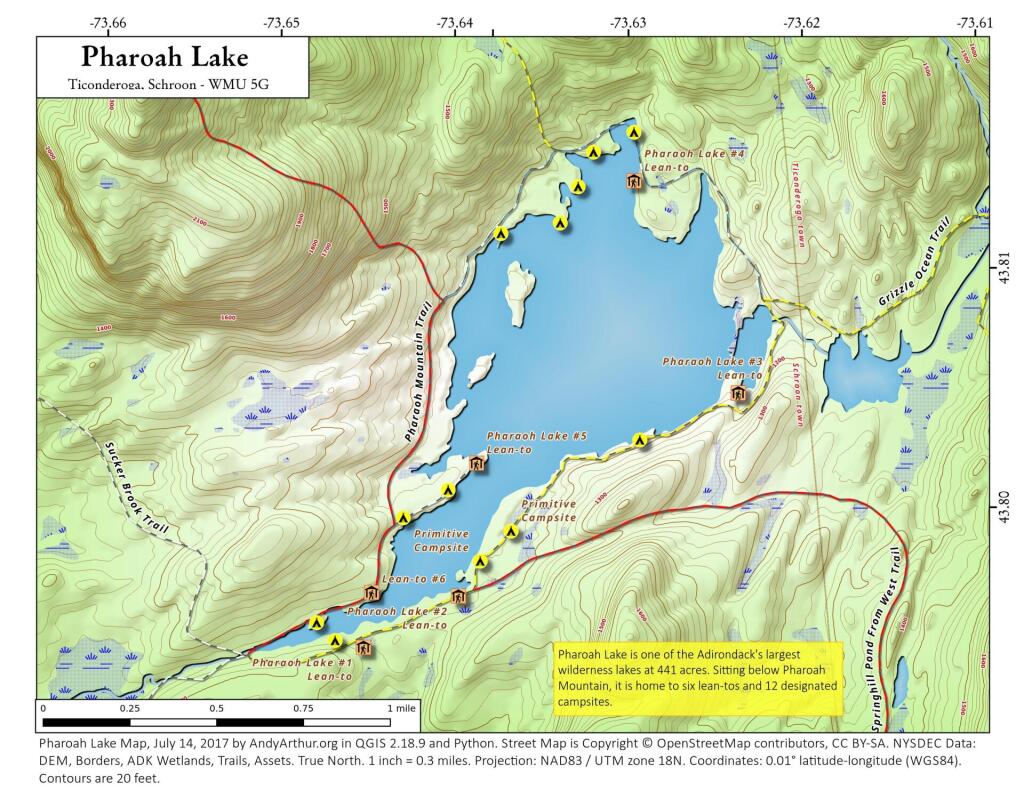
Pharoah Lake
Updated map of Pharoah Lake with campsites based on the latest data dump from the NYSDEC. As of this summer, the bridge over the outlet (southern tip) of Pharoah Lake is closed for repairs, so one must go around the lake to get to the northern shore of the lake from the Pharoah Lake Trail from Pharoah Road/Beaver Dam Road in Schroon.
