“The Catskill Mountain House”, presented by Greene County Historian, Jon Palmer Andy | October 10, 2025
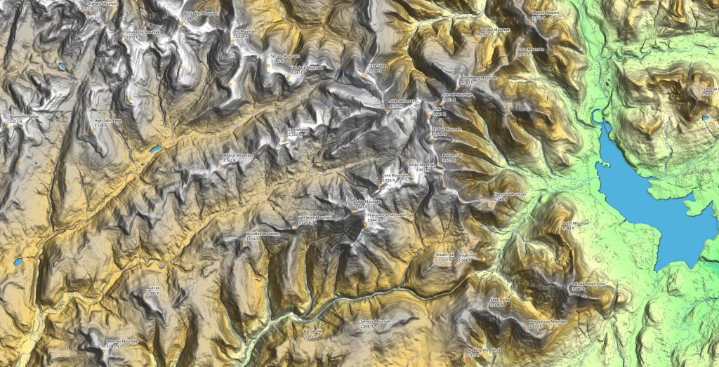
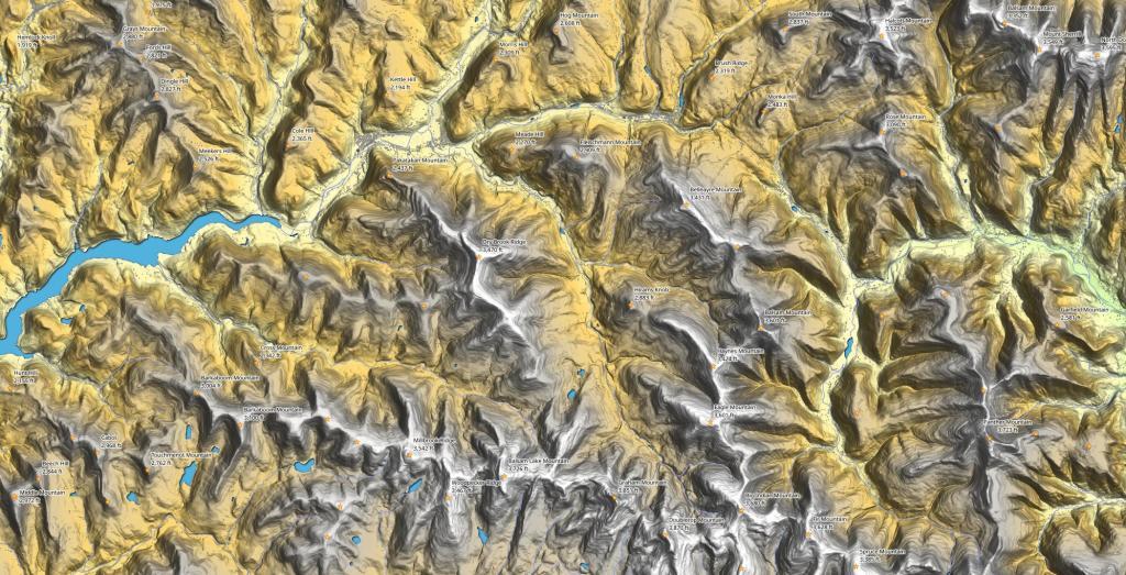
High Peaks Region Andy | September 29, 2025 This terrain map shows the high peak region in the Catskill Mountains.
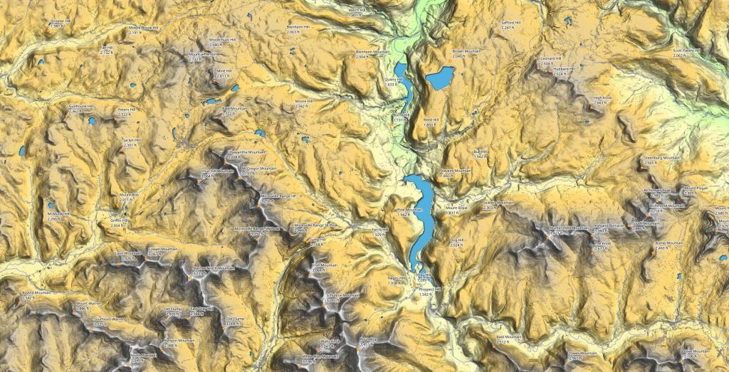
Stamford Area Peaks Andy | September 21, 2025 While mostly outside of the Catskill Park, there are several good sized peaks around Stamford and Delhi in the Western Catskills.
Margretville Area Peaks Andy | July 11, 2025 The northwestern Catskills don't get as much attention as other regions but there are many peaks to hike and explore out in this area.


")
")