The new Supreme Court case that could change the winner of the presidential election | Vox Andy | October 28, 2024 The new Supreme Court case that could change the winner of the presidential election | Vox
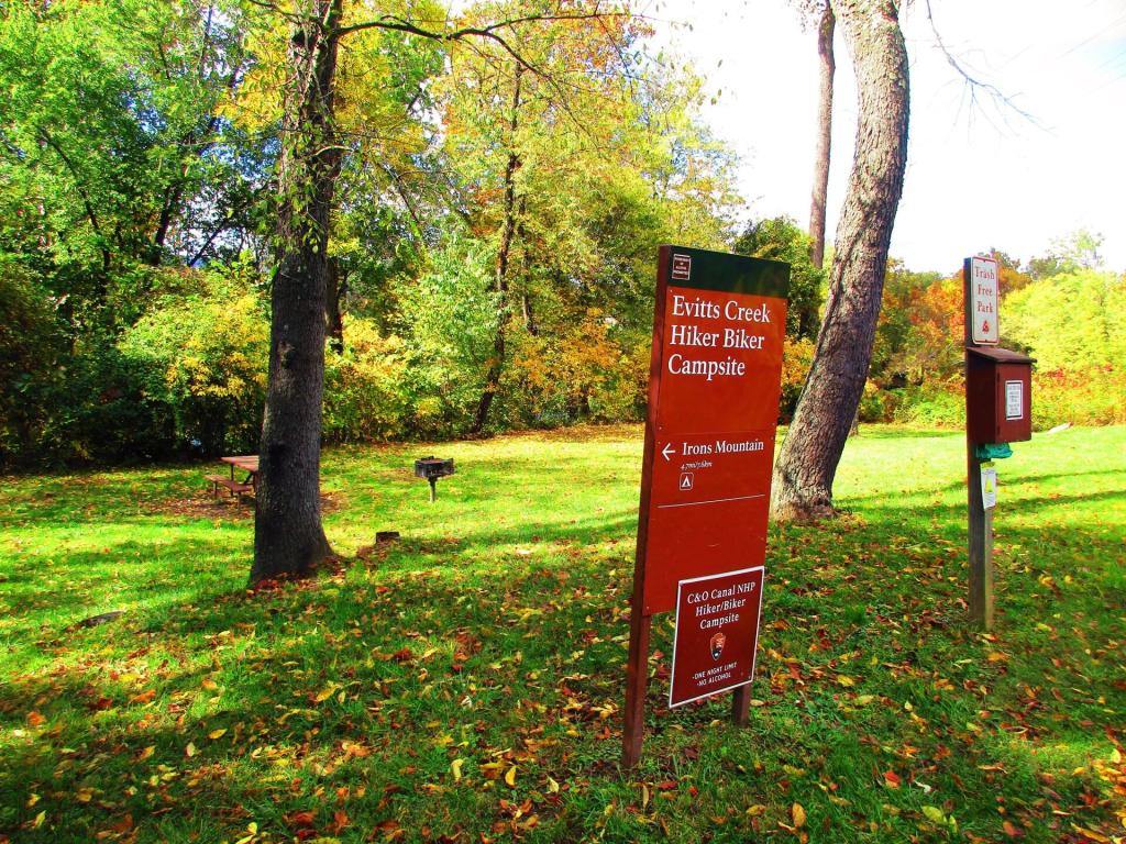
Along the C & O Trail there are Hiker-Biker Campsites Every Five Miles Andy | October 28, 2024 Sunday October 22, 2023 — C&O Canal Towpath
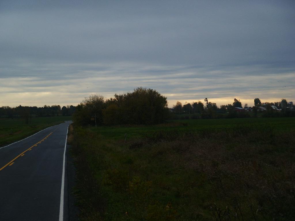
Setting Sun at Kunjamunk Parking Pull Off Andy | October 28, 2024 Saturday November 12, 2011 — Kunjamuk River, Kunjamunk Bay, Sacandaga River
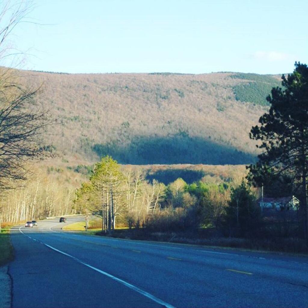
View from Dorm Andy | October 28, 2024 I took this back when I was in college, looking down towards Pok-O-Moonshine and Augur Lake. Monday November 14, 2005 — Plattsburgh State