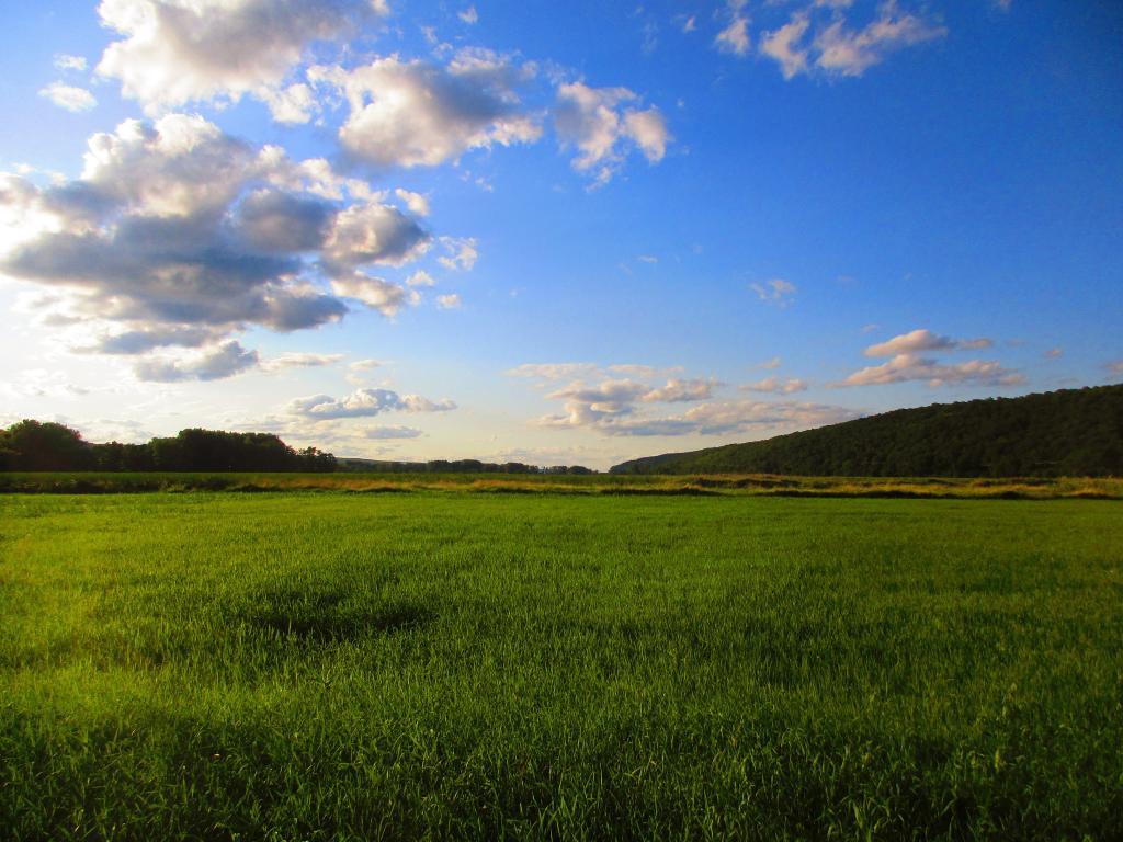
Evening at Catharine Creek Marsh
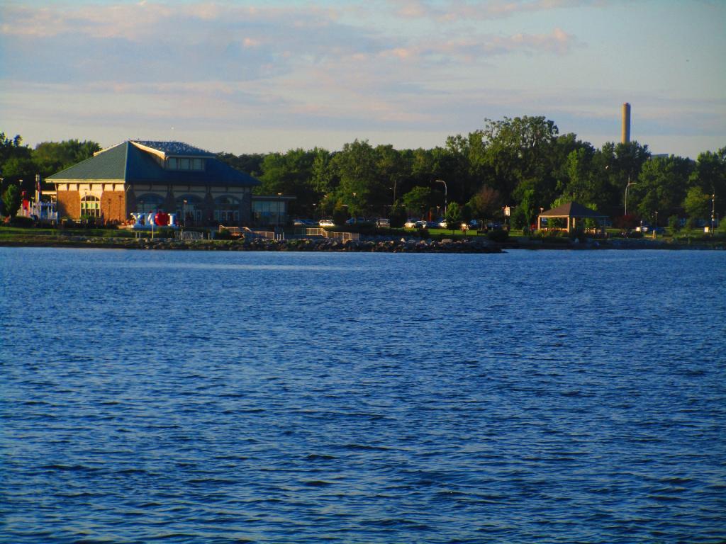
Geneva Waterfront from Long Pier
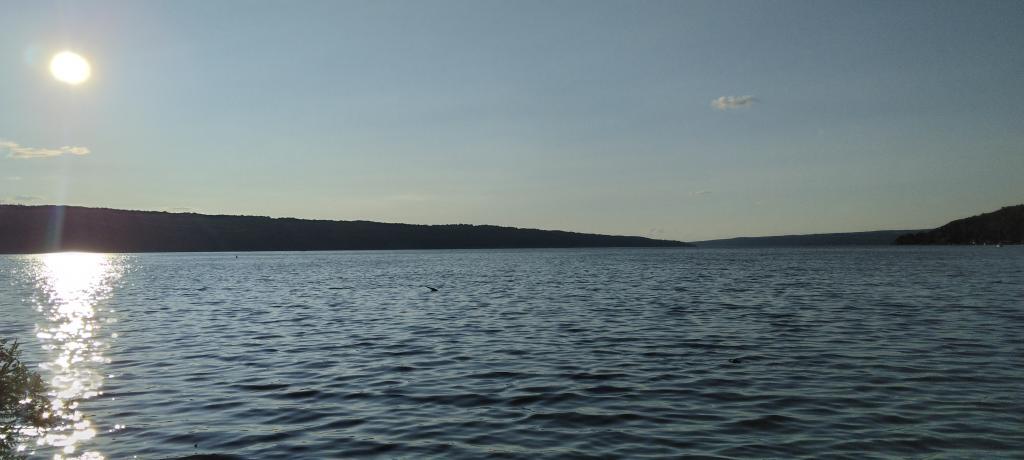
Cayuga Lake
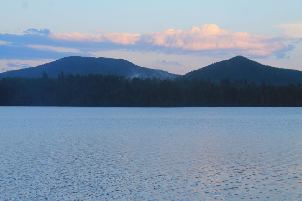
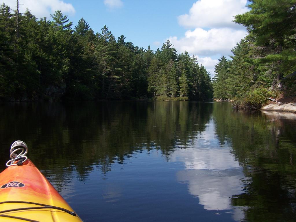
Above Lower Lows Dam
Paddling up the "flooded" Bog River, in the lower portion of Bog River flow, right above the Lower Lows Dam. If this area was not flooded by dams, it would be rapids, unaccessible by canoe or kayak.
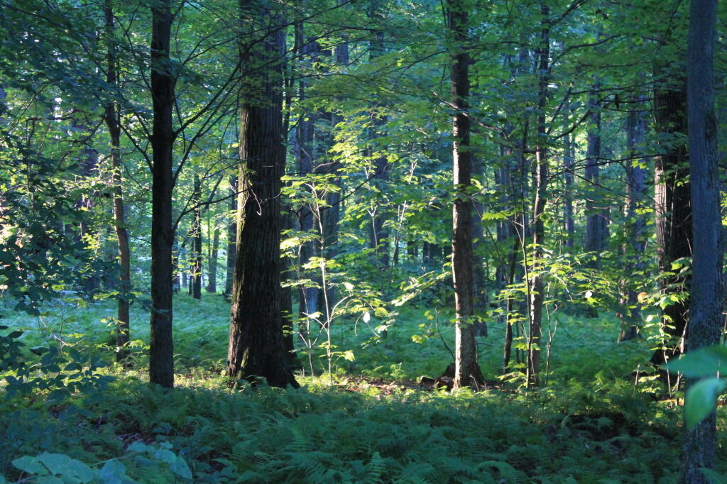
Taken on Friday August 13, 2010 at Hitchens Pond.Morning’s First Light
On breakaway day to head back to Albany.
Taken on Sunday July 29, 2012 at Allegheny National Forest.Flooded Lake
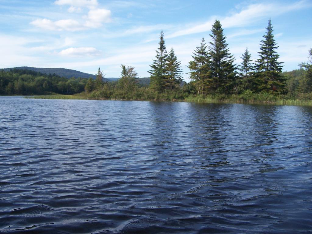
This portion of the Cedar River Flow, demostrates how very much this area was once open plains, until the DEC flooded the area shortly after obtaining the land from Gould Paper Company in 1967.
Taken on Wednesday August 11, 2010 at Moose River Plains.