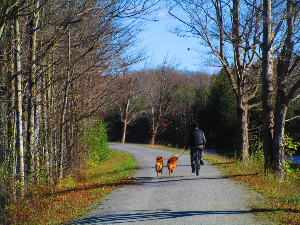
Theres One Way to Walk Dogs
Proposed Solar Farms in New York State
This map shows all several additional solar farms proposed for New York, many of much larger scale then existing facilities. Yellow balloons are (L) Regulatory approvals pending. Not under construction, Light Blue means (T) Regulatory approvals received. Not under construction, and Green is (P) Planned for installation, but regulatory approvals not initiated.
11/8/23 - UPDATED with September 2023 DATA This is an interactive map, so make sure to Zoom in to see the exact location of proposed solar farm, and click the balloon to get the full data reported to the Energy Information Agency.
Data Source: Energy Information Agency, Preliminary Monthly Electricity Generator Facilities EIA-860M, Released October 2023. Get the data: eia.gov/electricity/data/eia860m
Orth America Land Data Assimilation System Daily Sunlight 1979-2011
The North America Land Data Assimilation System (NLDAS) Daily Sunlight data available on CDC WONDER are county-level daily sunlight (insolation or solar radiation) observations spanning the years 1979-2011. Reported measures are the average daily insolation, reported in kilojoules per square meter (KJ/m2), the number of observations, and the range for the daily insolation values. Data are available by place (combined 48 contiguous states plus the District of Columbia, region, division, state, county), time (year, month, day) and specified daily sunlight value.
Pilgrims Pride Chicken 🐔 Plant
If you've had Pilgrim's Pride chicken breasts or chicken paddies, chances are that this slaughter house in Moorefield is where the chickens were harvested, cleaned and packaged in the wrappers. At times the plant can be a bit pungent as it was when I drove by a few years back.
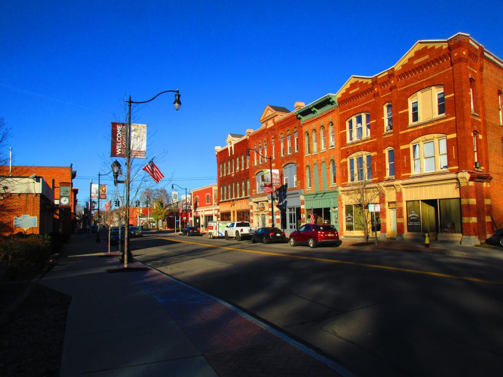
Main Street Canastota
Some handsome Main Streets still exist in New York though rarely are they more then a block or more before replaced with parking lots and suburban style buildings.
Taken on Sunday November 5, 2023 at Canastota.


