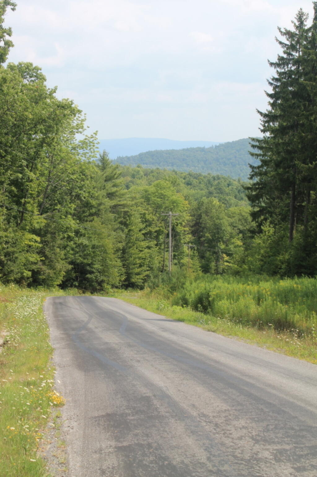
Down Rossman Hill
The low hills of Blue Ridge and Sturges Hills follow along the landscape of the flow.
Taken on Wednesday August 11, 2010 at Moose River Plains.
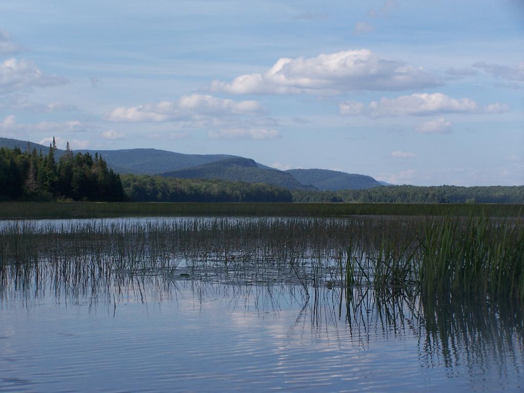
This is the upper tip of the Horseshoe Lake, in the most North-Eastern portion.
Taken on Thursday August 12, 2010 at Horseshoe Lake.
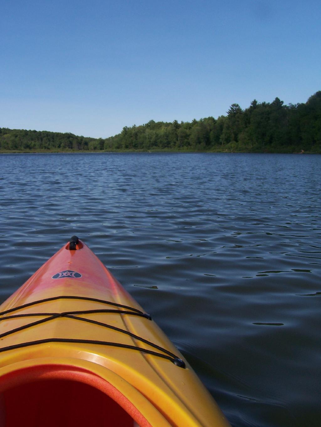
The Lower portion of the Bog River, is pretty narrow in part, due to the rocky terrain that it covers. You can easily bottom out a canoe or kayak in these parts, and other parts appear quite deep. There are a couple of paddle-in campsites along here.
Taken on Friday August 13, 2010 at Hitchens Pond.