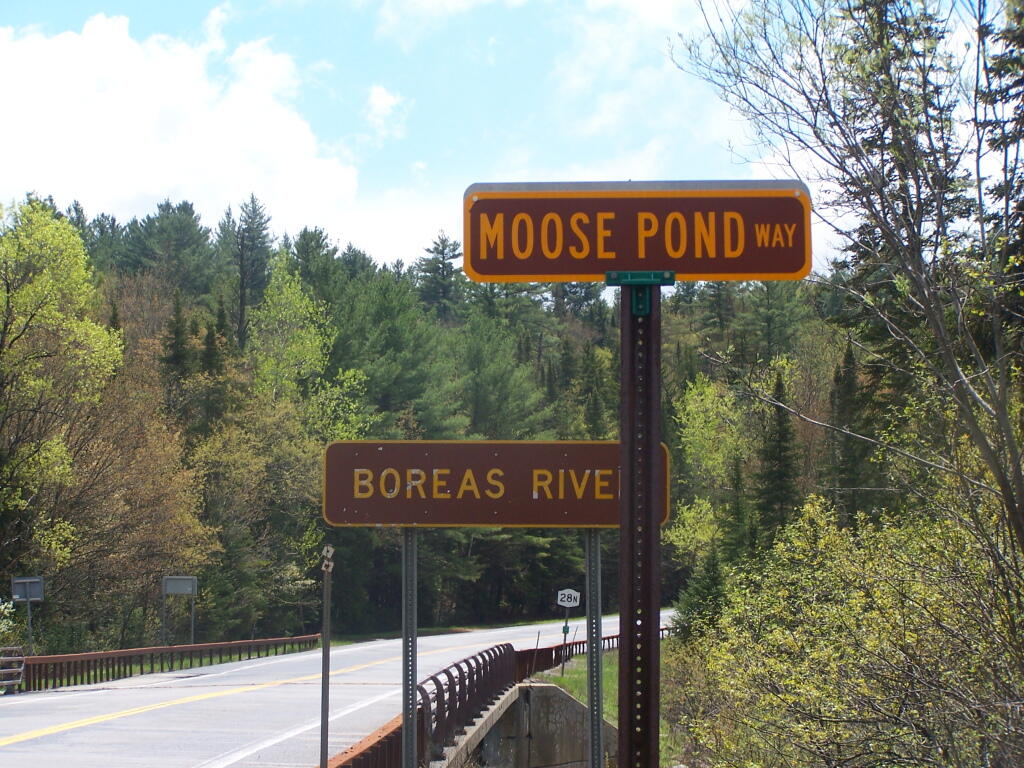
Moose Pond Way
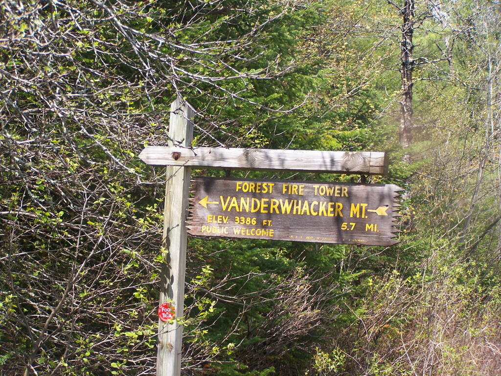
5.7 miles, if you include the first 3.2 miles you can drive on this rather rough and muddy truck trail back there -- at least time time of year.
Taken on Saturday May 21, 2011 at Vanderwhacker Mountain Wild Forest.
Along the Boreas River.
Taken on Saturday May 21, 2011 at Vanderwhacker Mountain Wild Forest.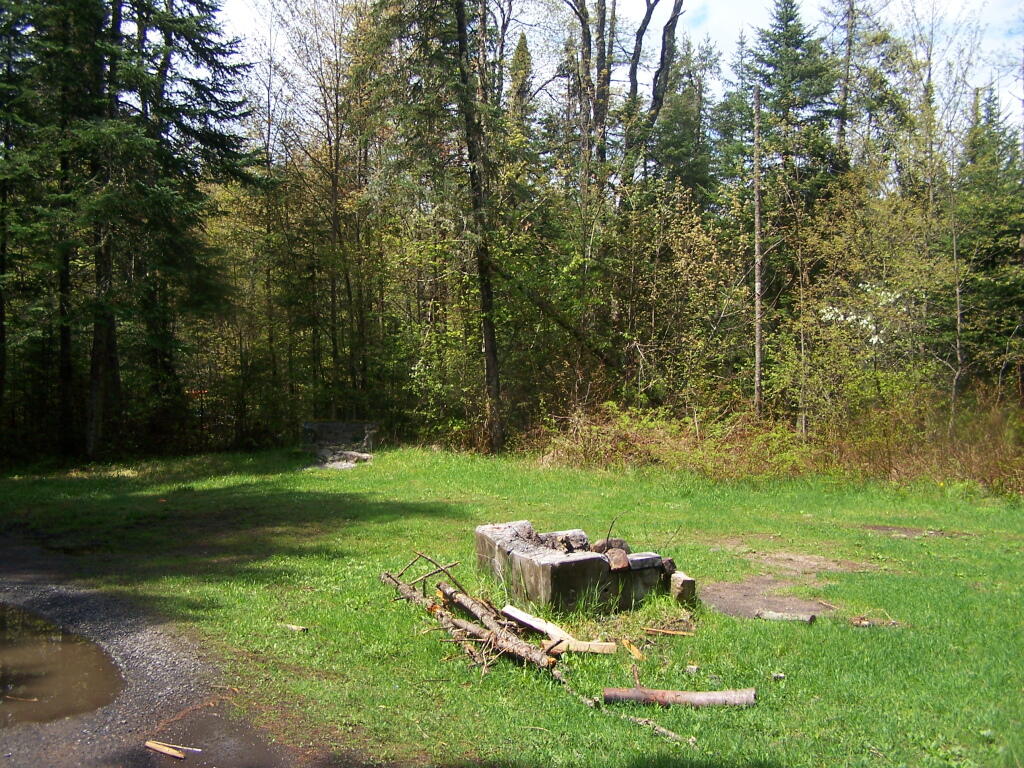
Supposedly they where going to reduce this area down to one large camping area (with the remains of three fireplaces in it), and make other improvements under the Unit Management Plan, but it's obvious that Vanderwhacker has not had any money invested into it in a very long time.
Taken on Saturday May 21, 2011 at Vanderwhacker Mountain Wild Forest.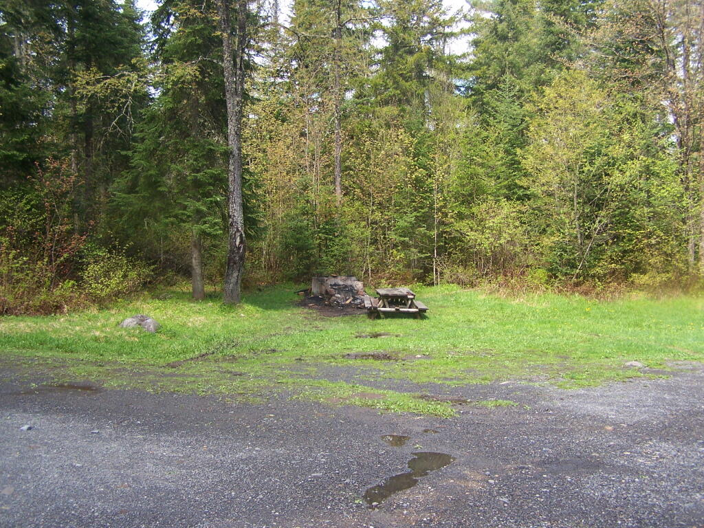
The picnic table and fire pit was in pretty rough shape, although the outhouse looked a little better off. It's obvious the state has put no repair or effort into the upkeep of this camping area since the early 1970s, although it does appear that it has been mowed.
Taken on Saturday May 21, 2011 at Vanderwhacker Mountain Wild Forest.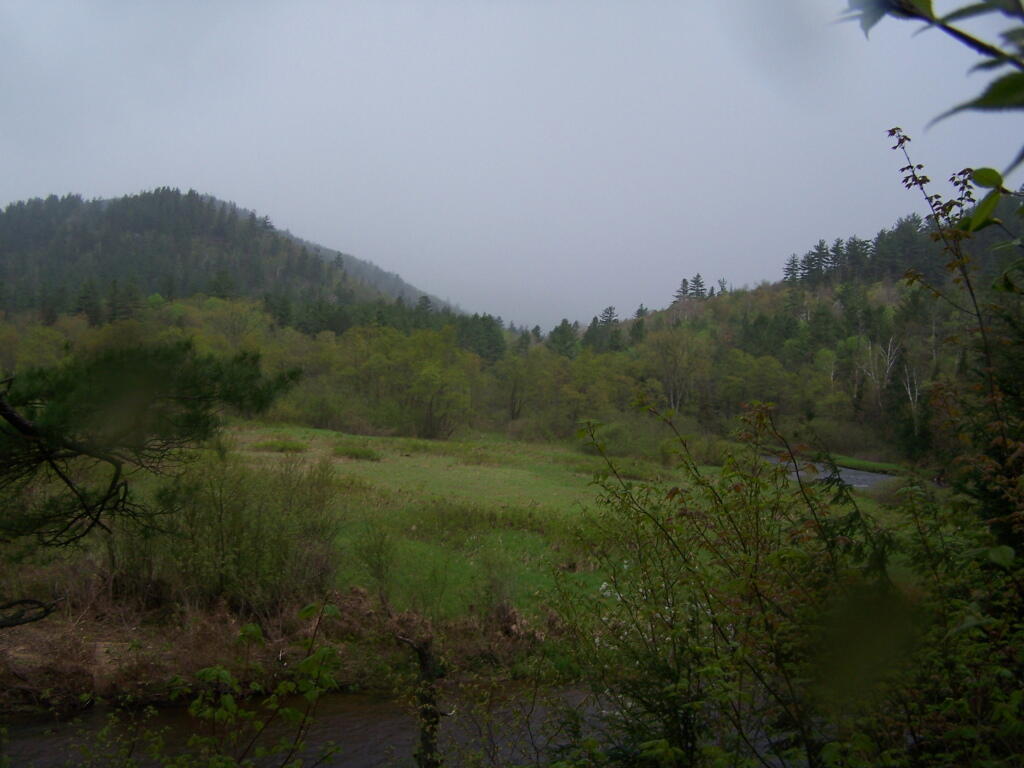
Time to get in the truck, stay dry, and head over to Vanderwhacker Wild Forest.
Taken on Saturday May 21, 2011 at East Branch Sacandaga River.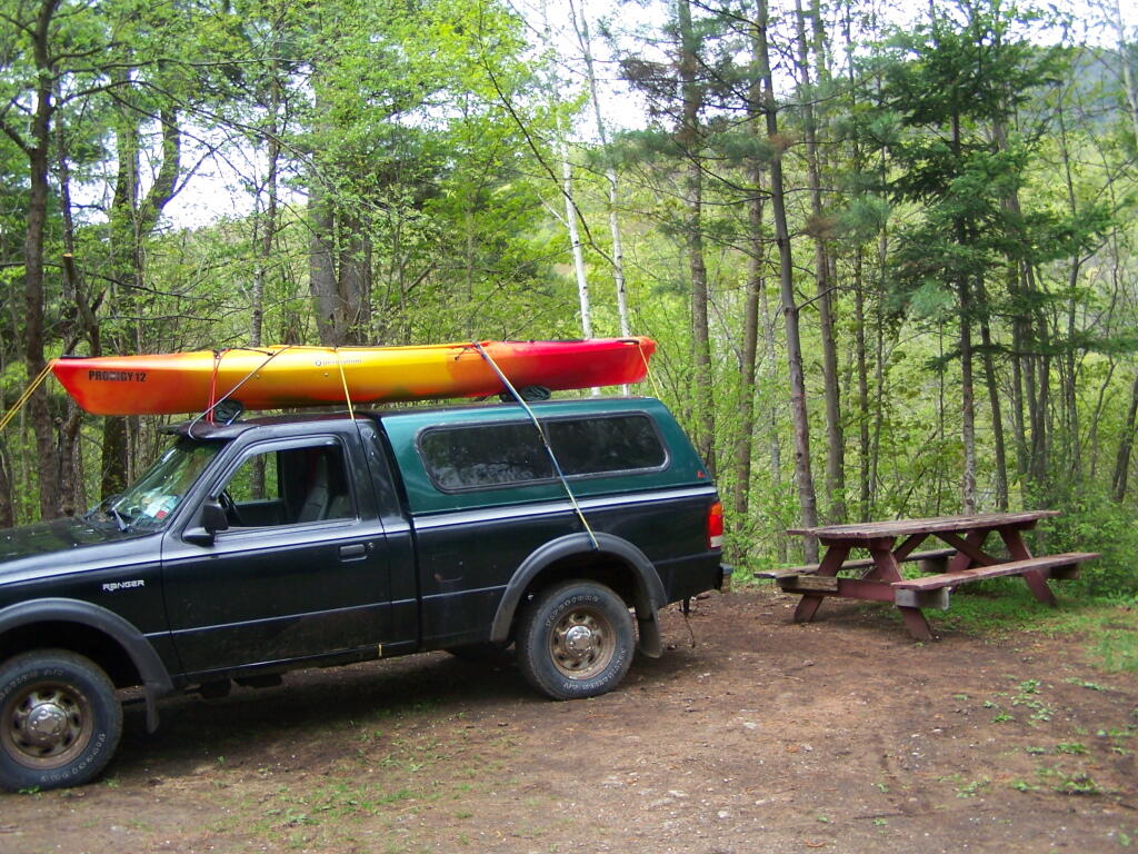
Only minutes before it starts to pour on out!
Taken on Saturday May 21, 2011 at East Branch Sacandaga River.