
North from Sunset Rock
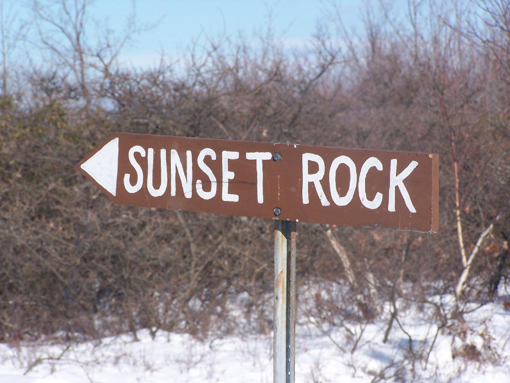
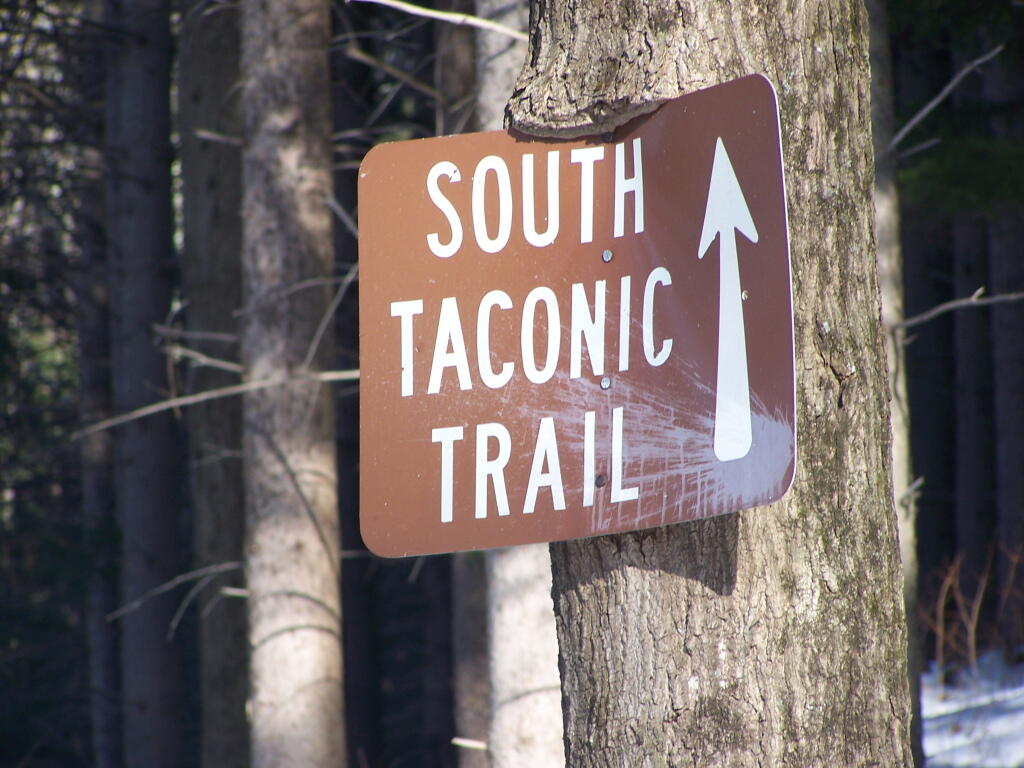
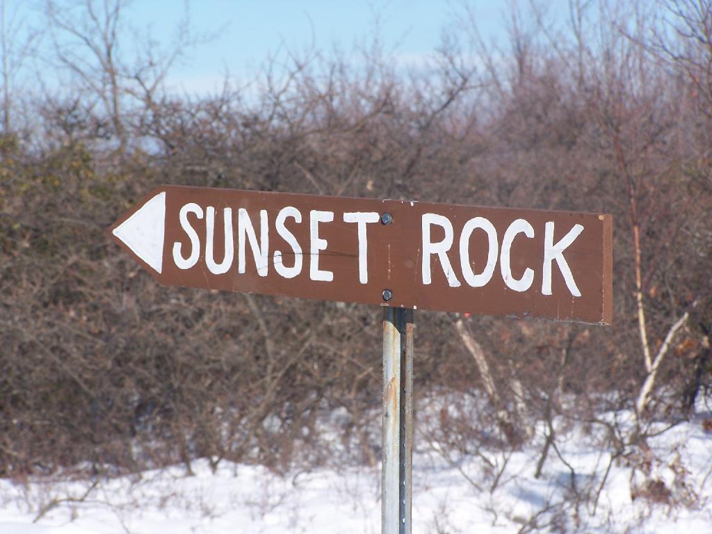
Two Saturdays ago I decided to go up for a hike at Taconic State Park. I had visited Sunset Rock last June, and decided it would be interesting to go back up there six months later in the dead of winter.
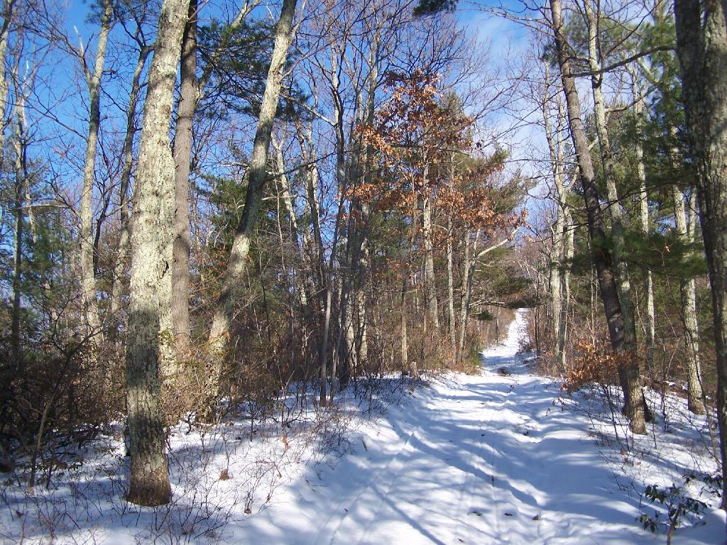
The trail up to Sunset Point is not very steep except for a few short sections. This is one of the steeper sections.
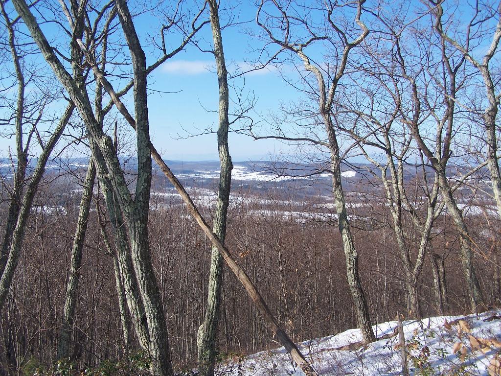
As you head up the mountain there are some places with broken views to the south, overlook Copake Falls and further south.
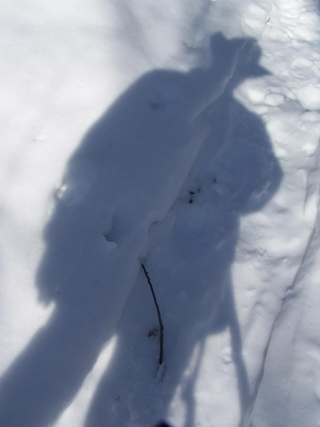
Here is the shadow of me hiking up the mountain.
Finally reaching the top of Sunset Rock.
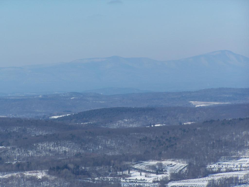
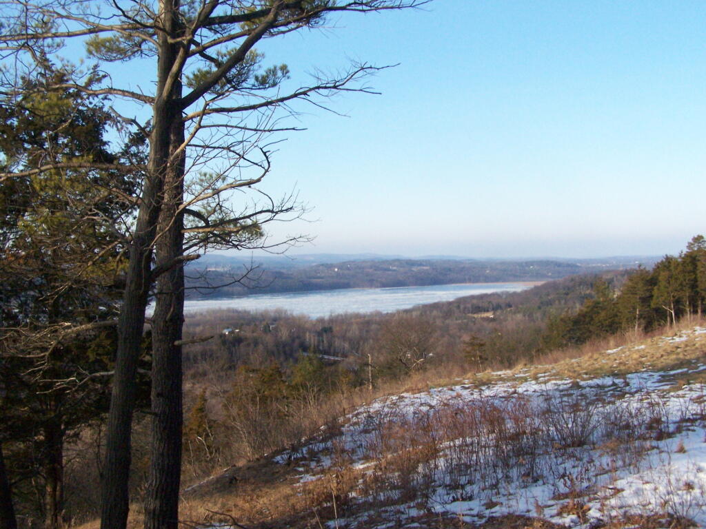
Here is the view off Sunset Rock. The Catskill Mountains are in the distance, somewhat shrowed in haze on this beautiful warm January day.
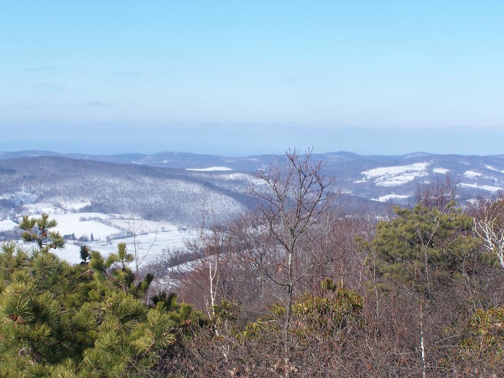
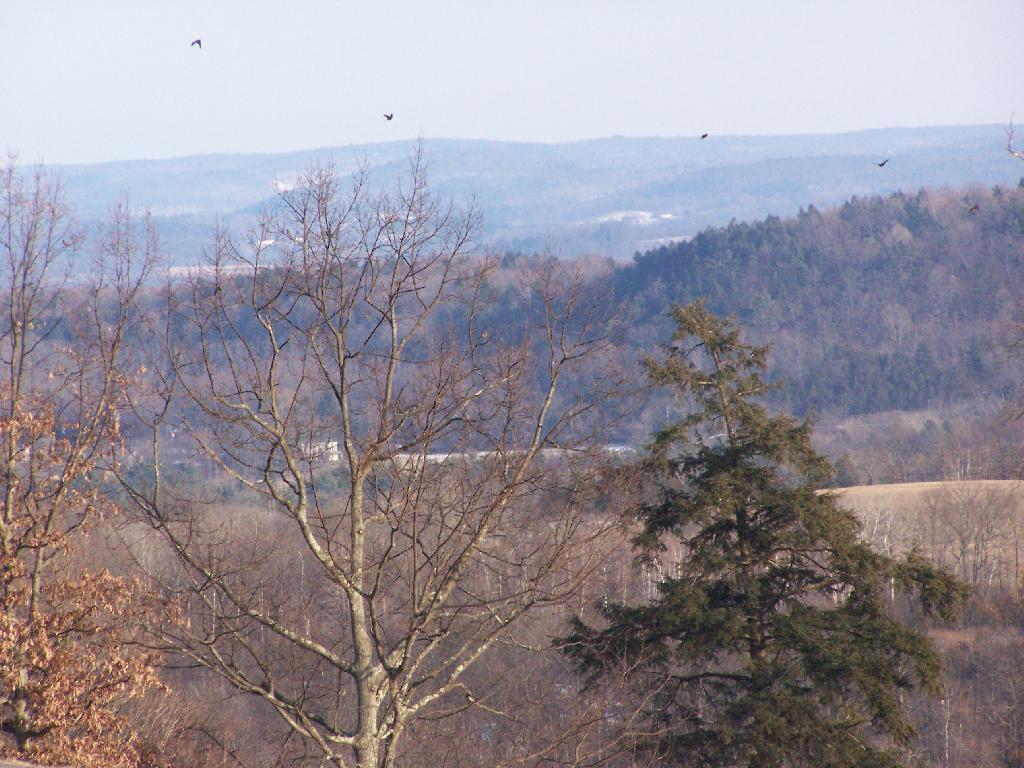
Looking off to the North from Sunset Point.
Here is a map of where I hiked.
View Hike to Sunset Rock at Taconic State Park in a larger map
I have driven past Olana a dozen or so times. I last went up to Olana as a young child. I had read about it on Facebook, and knew it was free to wander the grounds from October 15th through May 15th. Driving by it I decided to go for a little stroll.
It is a truly delightful experience from the drive up on the twisty one-lane entrance and exit roads, and remarkable views all the way up. The road is paved, but is bumpy asphalt, so you will want to ease your way on up it.
Walking down the great lawn to south of Olana, looking at the views from the west of the Olana. A mountain.
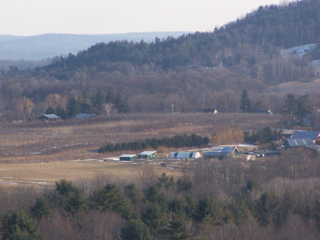
A small farm and orchard in the distance between NY 23 and US 9.
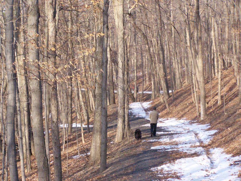
A person walks along the mid-parameter path.
Olana Tower from the mid-parameter path.

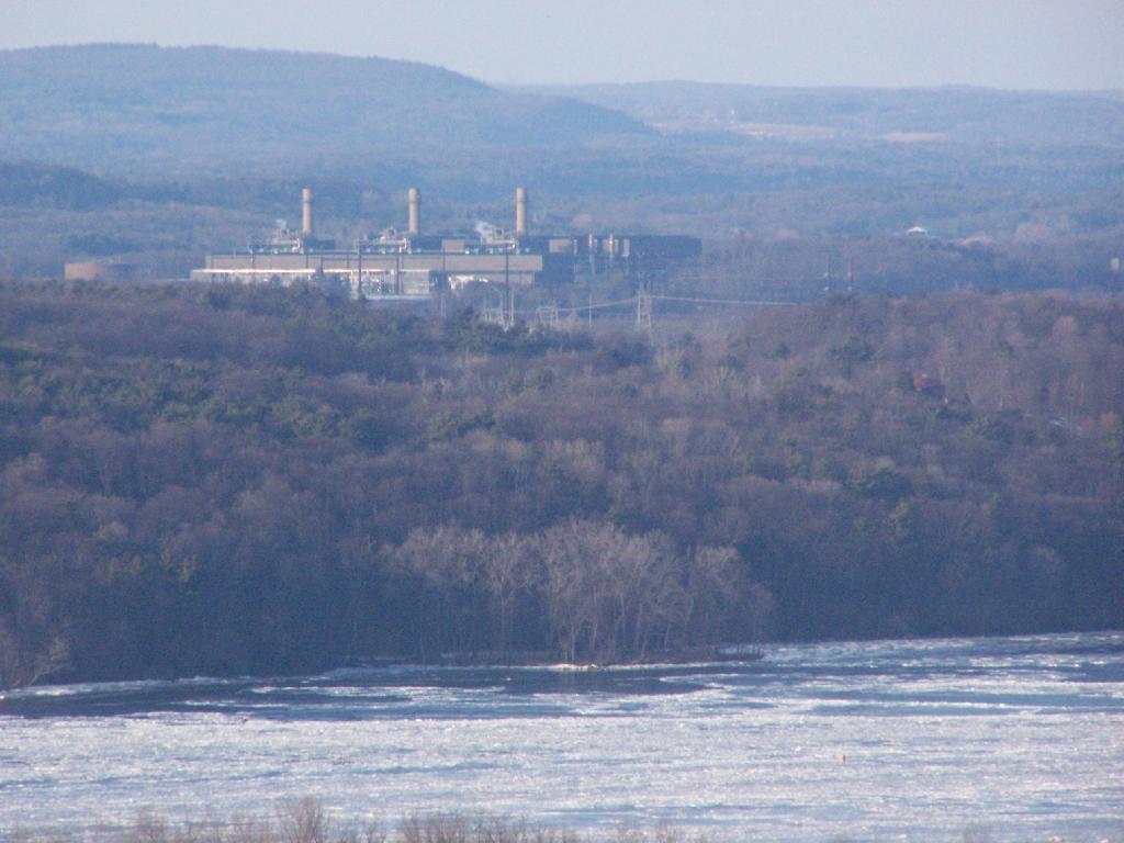
The Hudson River looking North.
The Athens Natural Gas Power Plant.
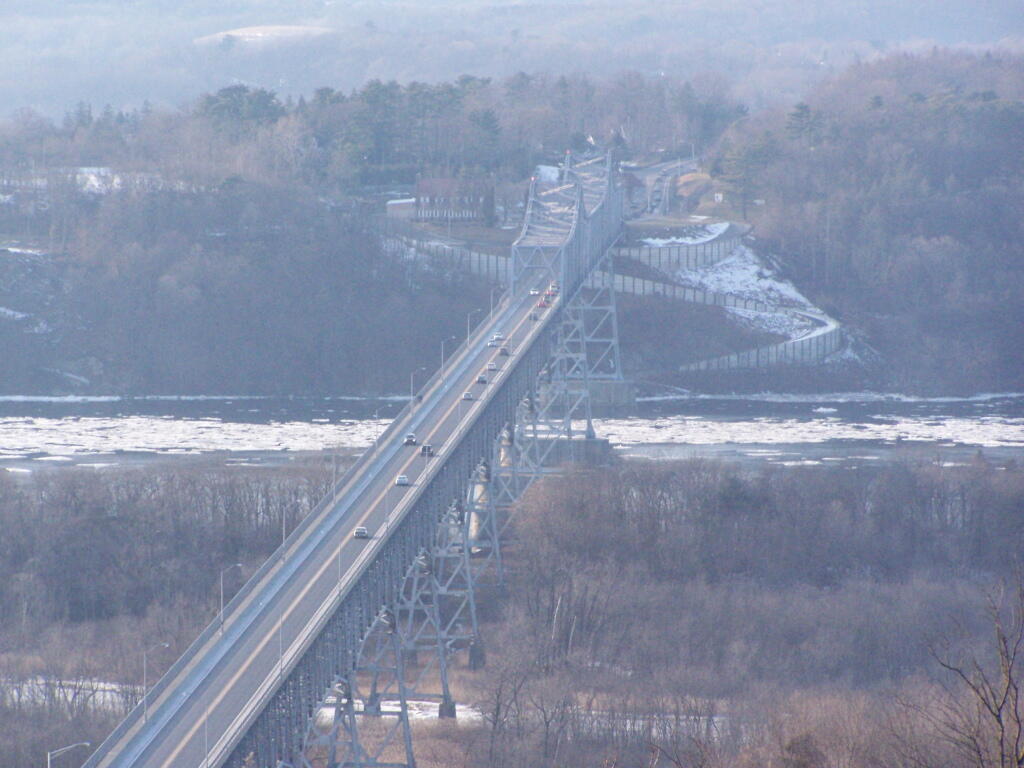
The Rip Van Winkle Bridge.
Walking along a clearing along the path.
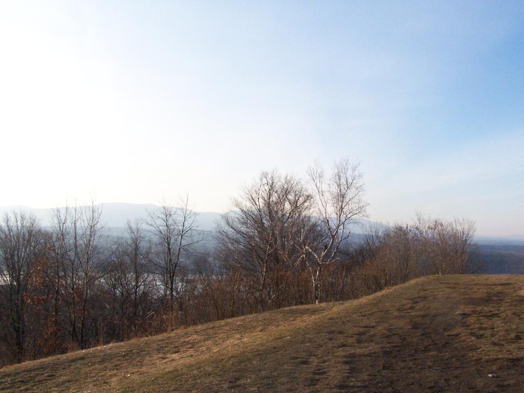
The Catskill Mountains in the distance, with the Hudson River in the foreground.
On a section of Olana overlooking Hudson they are clearing out the area to provide better views of the surrounding trails.
View Hikes of 2010 in a larger map