Silluote of the Bridge

In this picture you will see two white spots, those are lighting for the workmen. Very faintly between the two points the Champlain Bridge's silhouette of the bridge, but not much more.

Taken on Monday December 28, 2009 at Lake Champlain Bridge.

Waiting on VT 128

There was long lines of people waiting to find a parking spot on the shoulder to witness the demolition of the Champlain Bridge.

Taken on Monday December 28, 2009 at Lake Champlain Bridge.

Snake Mountain in a Snowstorm

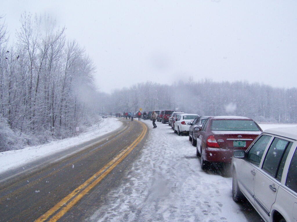
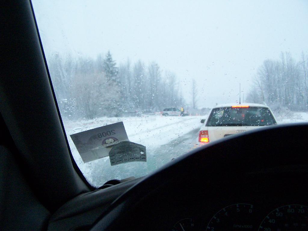
I was up in Addison, Vermont to watch the demolition of the Champlain Bridge and I figured while I was up there I would go for a hike in the afternoon to see some of the beautiful vistas of the Champlain Valley. I have only been hiking once before on the Vermont side of the lake, and never down in this part of the Champlain Valley.

Snake Mountain Preserve Sign

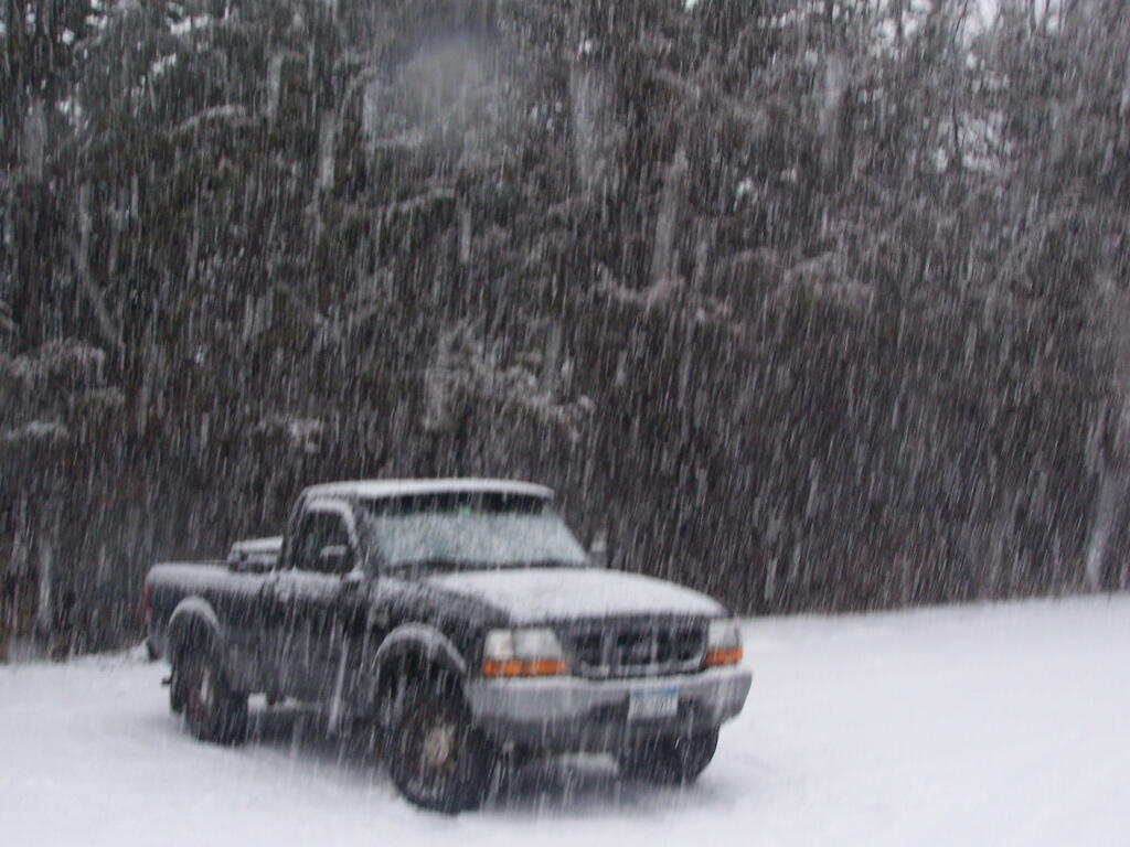
I really was hoping for a nice clear day with blue skies. What I got instead was heavy snow squalls and cold winds whipping along the mountain. I am sure things would have been quite beautiful if that was the conditions. Yet things where just a bit snowier throughout the day. This is what it looked like 3 PM when I was done hiking and reaching my truck to return back to Albany.

Reaching My Truck

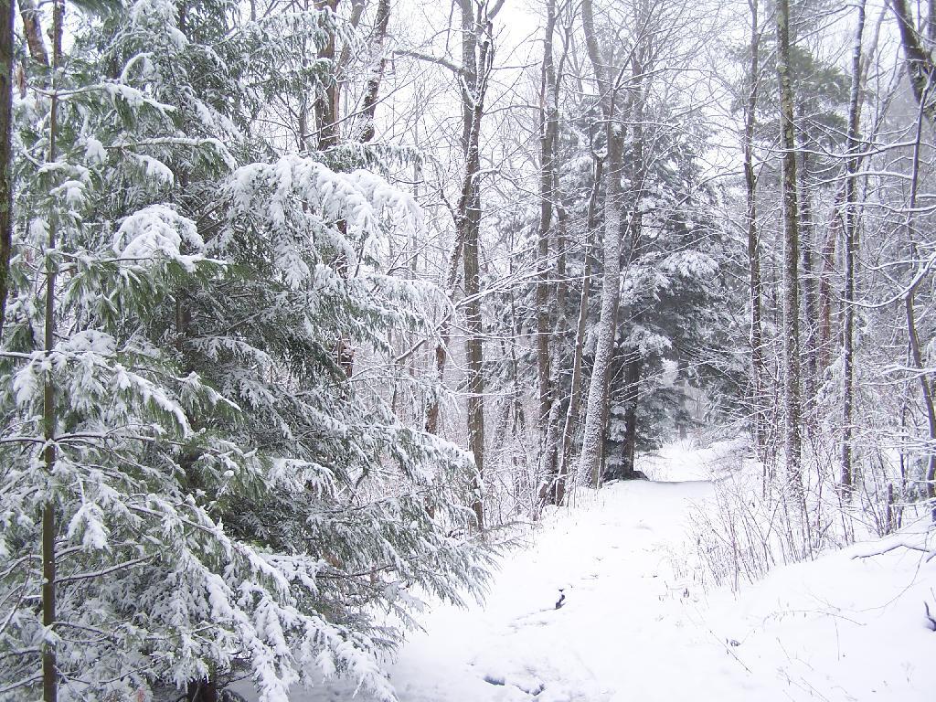
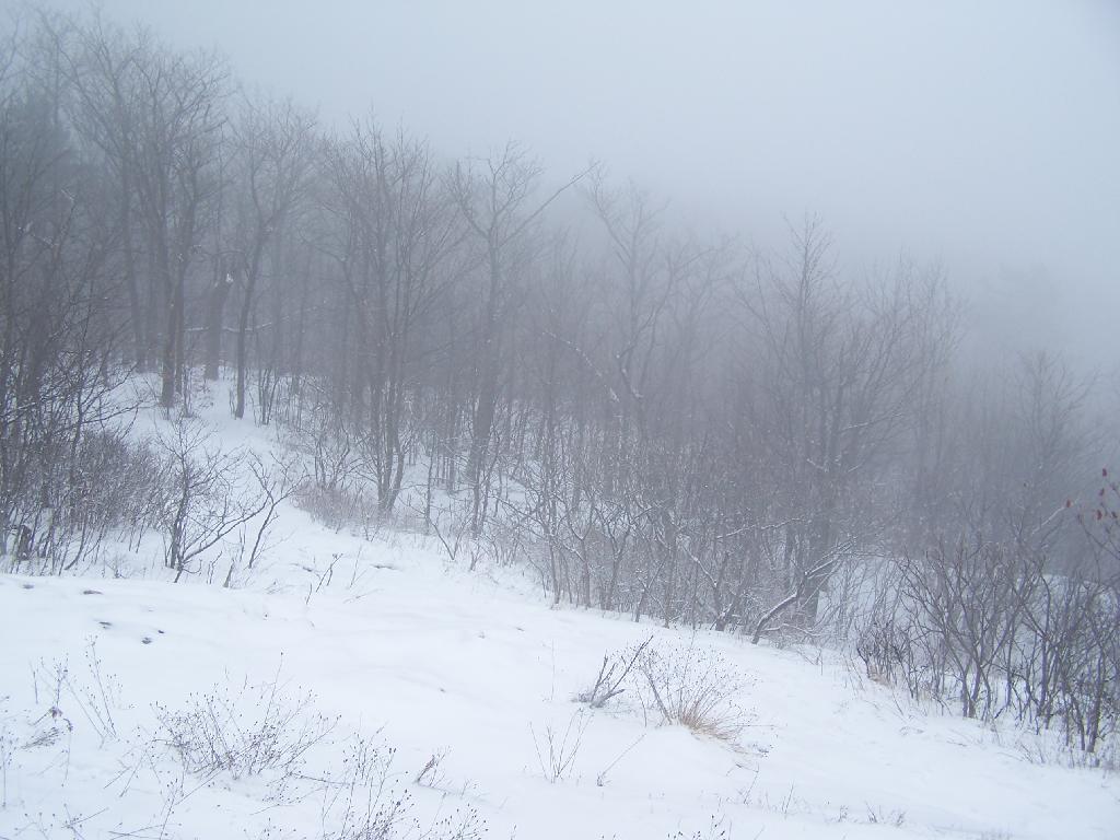
Regardless, it was a beautiful hike up the mountain with the trees being snow covered and the trail easy to follow. Everything looked so fresh from the morning’s snow, and the on-and-off sometimes very heavy snow throughout the day. As you can see, the trail is easily accessible on foot in the summertime, and in the winter by cross country skis or snowshoes.

Descending the Mountain

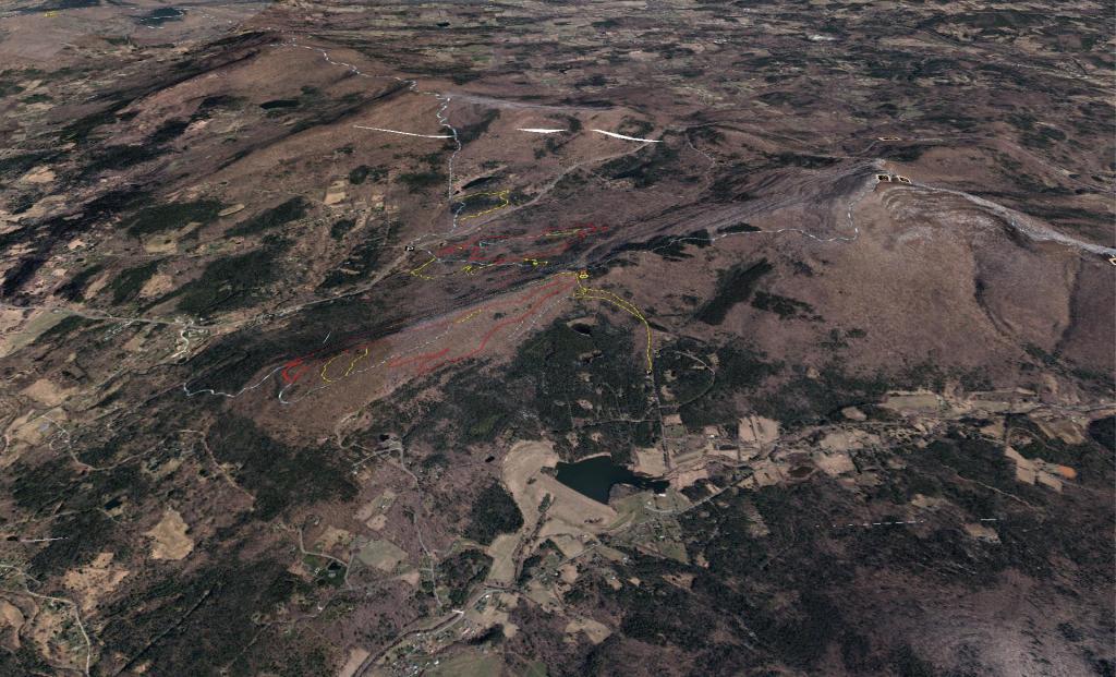
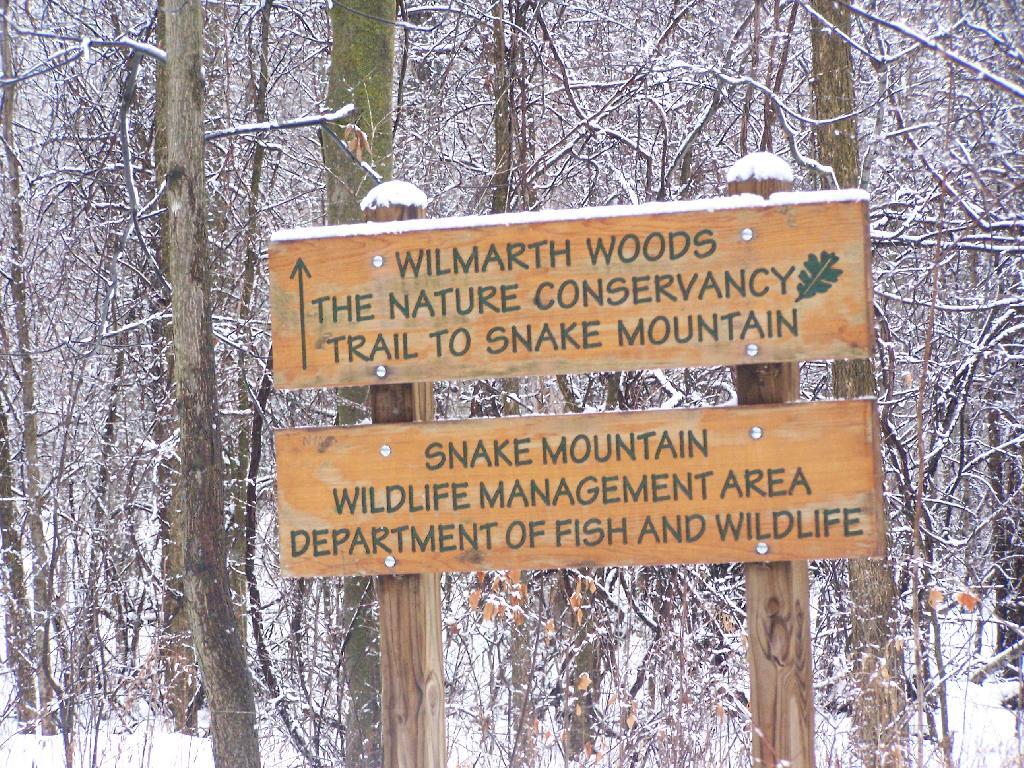
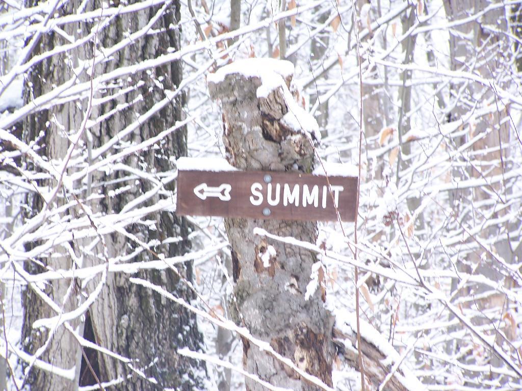
There are occasional trail markers up the mountain, including signs on turns for the Summit, but a few side trails so you will want to make sure you have a map. Fortunately, you can get one from Vermont DNR with on Snake Mountain WMA. One thing with that map is it doesn’t include a lot of the switchbacks, so you might think you have gotten off the trail even though you haven’t. For the most part, it’s not bad, as it’s an old woods road.

Turn for Summit

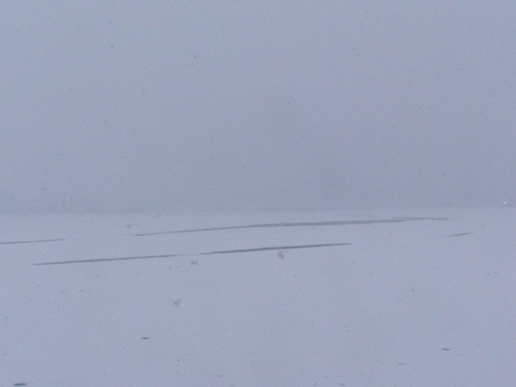
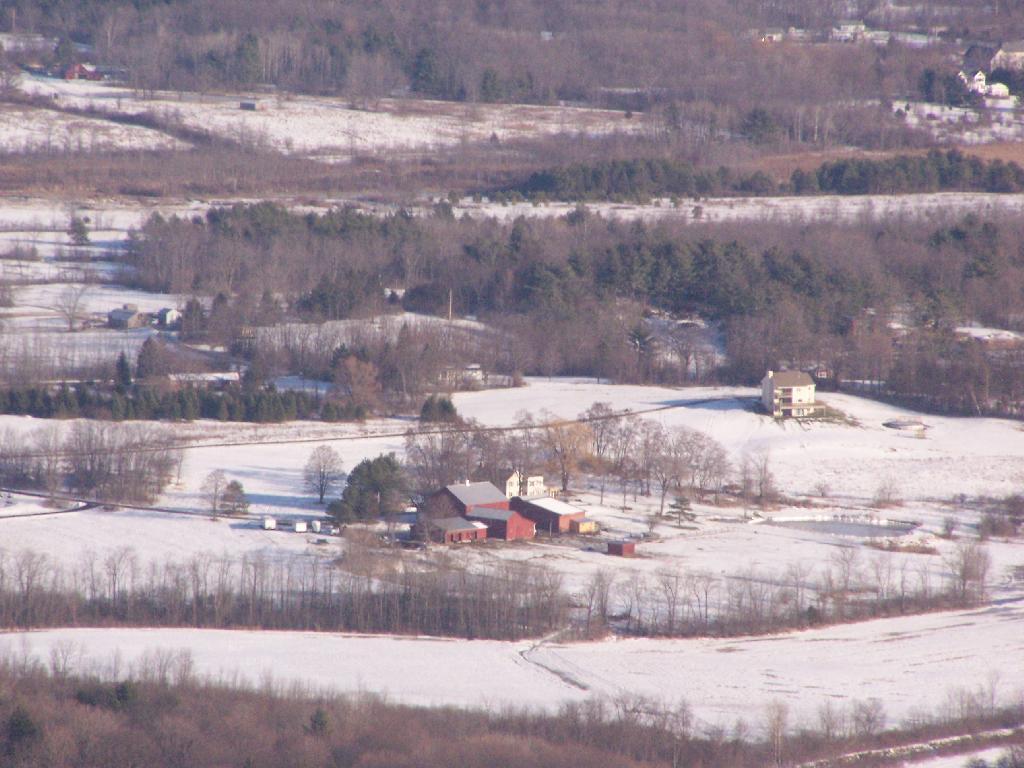
The view off the summit of Snake Mountain is one of the most remarkable ones (so I’ve been told on the Internet), but not a day when it’s snowing. You can see a little of the farm fields below when the snow let up a little bit, but it pretty much was a blind view. I was seriously disappointed, after driving up to Addison from Albany, NY and seeing neither the demolition of the bridge or off Snake Mountain from the snow.

View off Snake Mountain

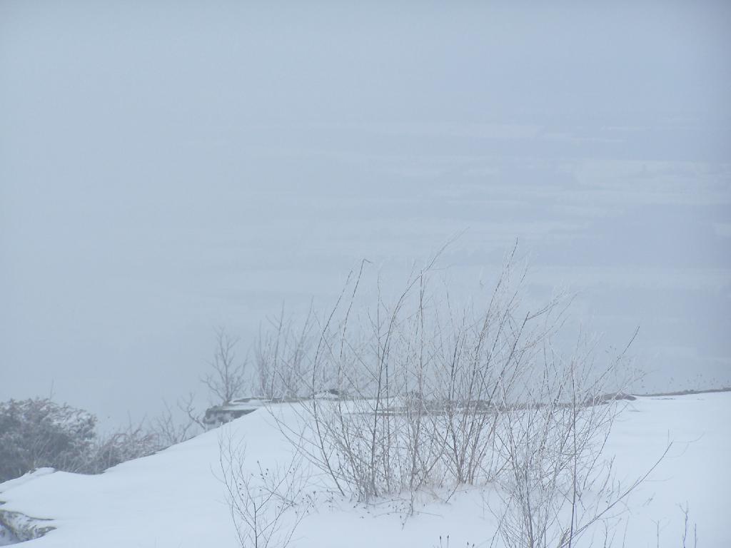
At times walking around the Summit of Snake Mountain I couldn’t really tell if it was snowing as much as I was up in the clouds. It was cold and the wind was whipping around, and visibility was really poor.

Cold on Snake Mountain.

It’s winter out, and it is snows in Vermont. The moral of the story is while hiking is delightful in fresh winter snows, it also means that visibility off the mountain really isn’t all that great.

Cute Little Farm

I am not sure why this caught my eye, but this is a cute little red barn and a classic white farmhouse. You really can't tell what kind of stock they are raising from off High Point -- they are probably all in the barn.

Taken on Sunday December 27, 2009 at John Boyd Thacher State Park.

Non-Icy Parking Spot

I parked up in the old bluestone mine up at Thatcher Park OSI parcel, ever so carefully, finding a place plowed deep enough to expose the rock. I am so parnoid about getting my truck stuck, even with the 4x4 nowadays.

Taken on Sunday December 27, 2009 at John Boyd Thacher State Park.

Bennett Hill on Christmas Eve

On Christmas Eve I decided to go for a quick afternoon hike up Bennett Hill. I had gotten all my stuff together for Christmas Eve, and was on my way out to visit my parents at their house, so I thought it would be a nice time to go out for a hike up there. I didn’t get to the trailhead until 3:15 PM, so things where a bit rushed and some of the pictures are fuzzy, but it still was pretty awesome.

I made it up to the top at 3 minutes until 4 PM. Here I am looking off the south-west opening almost due south in this picture.

Oregon Population

I took the main trail up to the top and walked around the top on the yellow trail. Here is Meadowbrook Farm / Delaware Turnpike looking just out above Clarksville.

sales-zip.svg

Here we are looking out the clearing on Bennett Hill out over Clarksville.

To Glimmerglass

Walking along the top of Bennett Hill. It was an awful grey evening up on Bennett Hill on this Christmas Eve.

Windham High Peak Trail

Looking out at Pinnacle Hill through the trees. You can’t see this in the summer because the leaves on the trees block the views.

 Rensselaer

I was quite happy to see the Bathtub Spring that was installed last year is still up and running, despite the cold. I wonder if it will ever get cold enough this winter to freeze, or if the tub will fill up with ice, and that will shut it off. I didn’t try drinking from it this this time.

City of Rochester - Race and Hispanic

Here is a map of the hike.


View Hikes of 2009 in a larger map