Remote Sensing as Art 🎨

Remote Sensing as Art 🎨

Remote Sensing is the use of things like satellites πŸ›° and aerial photography ✈ to take pictures of the land below. Nowadays with so much data easily available it’s wonderful not just from a scientific perspective but also to look at land and the patterns it represents from an artistic perspective.

In furtherance of artistic goals, I actually added a new feature to the internals of the blog, that allow me to modify the brightness, saturation, and color of any satellite image to make it look even prettier or capture a certain artistic effect on the blog live. 🎨
Census

Now that I’ve learned all of the advantages data processing with Python, I think my next adventure is going to be to figure out how to directly query the various Census databases directly rather than downloading the individual zip files from then editing and processing them in LibreOffice Calc. I’d much rather try to automate as much of this as possible so I can do new concepts for the blog, importing and mapping even more data.

It sure would be nice to able to get full census tables for a county with a few lines of code and have them dumped into a CSV file for a chart or to link to a map.

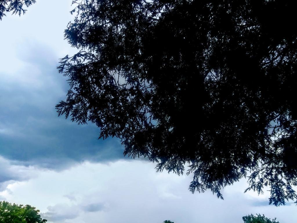
Thunderstorm

I was looking forward until the first clap of thunder happened about the time I was ready to get in pool. At least once the storm passes the pool will be open until 7.

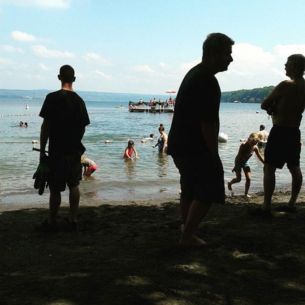
Taken on Monday August 10, 2020 at Watkins Glen State Park.