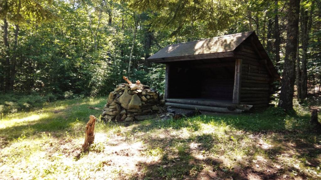
Cotton Hill Lean-To

The Davis and Cumberland Topographic Maps of 1921 show what area was like before the Mount Storm Coal Fired Power Plant and the Mount Storm Reservoir. The area was mostly wilderness, with a smaller now defunct reservoir further upstream.

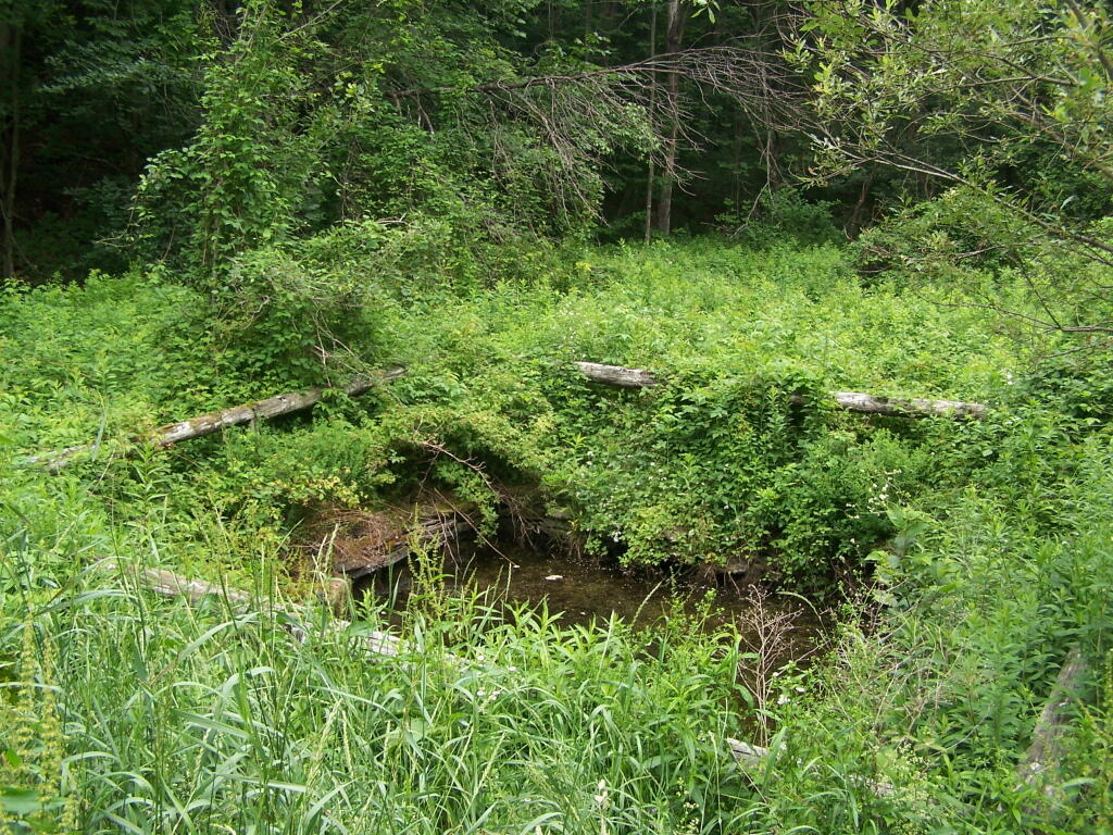
Supposedly for fighting forest fires. I guess it's better then having no water accessible for fighting forest fires in the area.
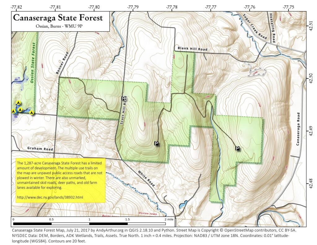
Saturday June 26, 2010 — Charles Baker State Forest — Charles Baker State Forest 🗺 — Charles Baker State Forest Auto Tour Route 🗺 — Charles Baker State Forest Horse and Truck Trails 🗺— PDF with All Maps 📚