Search Results for: photo hills along pond

Driving Thru Moose River Plains

In preparation for my summer vacation I decided to drive through the Moose River Plains Wild Forest. This area has been subject to quite a bit of controversy over the years, in part from the environmentalists who do not believe “drive-in” camping is appropiate use of Adirondack Wild Forest, and most recently from the State DEC which threatened to close this 30 mile truck trail due to a lack of funds.

While my camera was broken while I was able to grab a few pictures. I will take more when I get back from my week up there.

Parked Along Cedar River Road

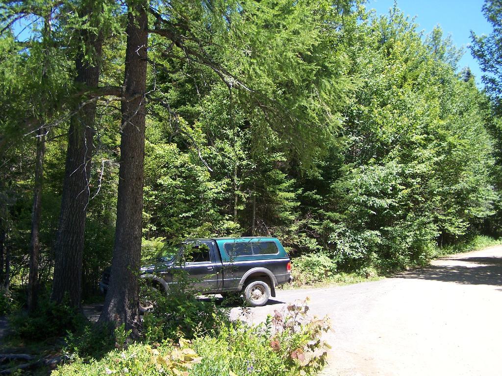
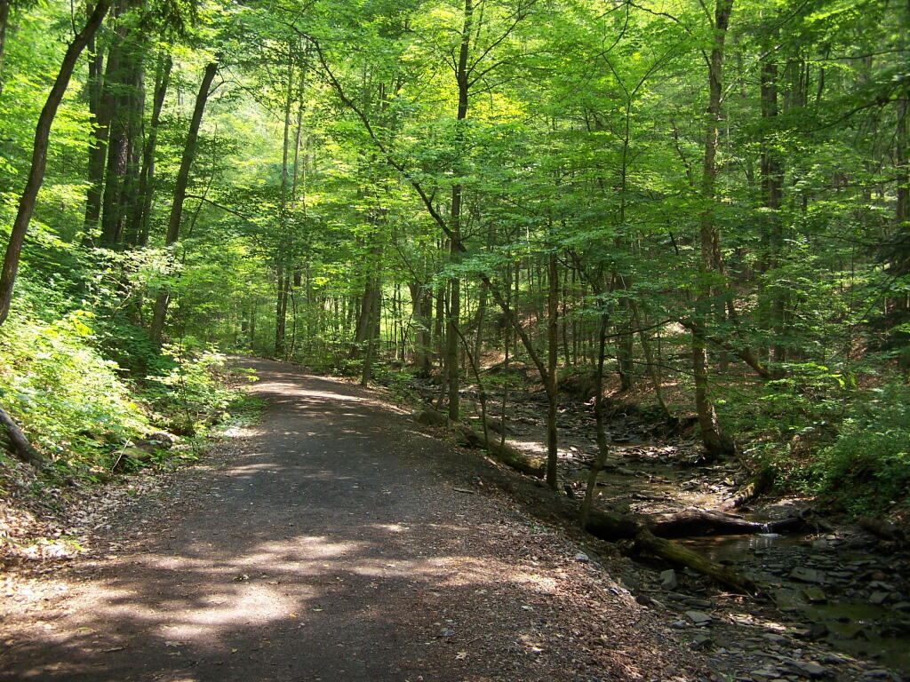
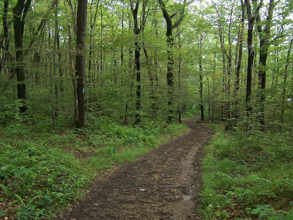
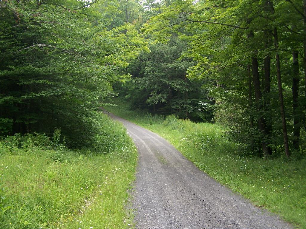
Here is the route. The first 5 miles of Cedar Plains Road from Indian Lake is black top, and rapidly transitions to rough dirt road.


View Larger Map

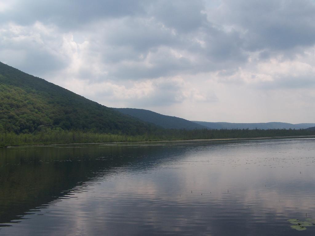
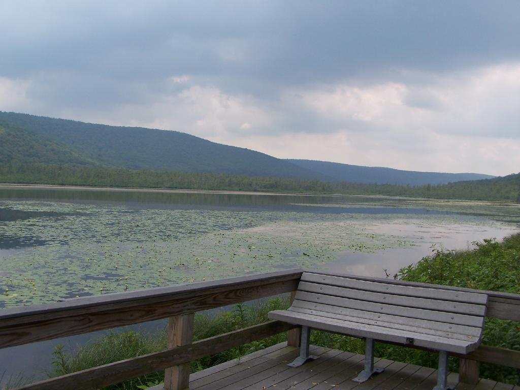
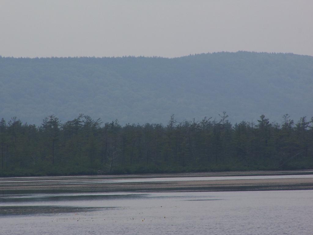
Around 7 miles in you reach the beautiful Wakely Pond, with Wakely Mountain in the background, where there is a fire tower up top..

Wakely Pond

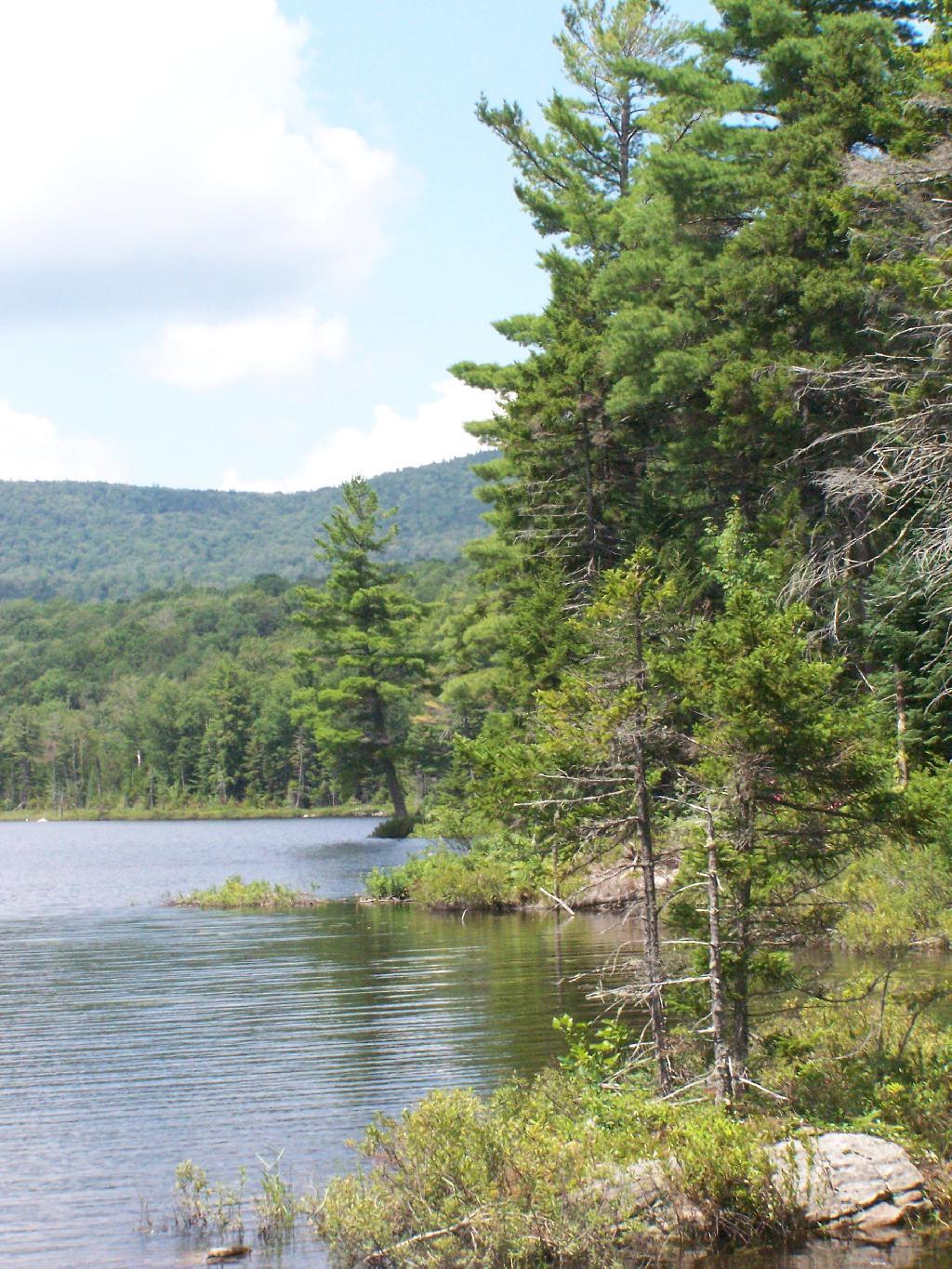
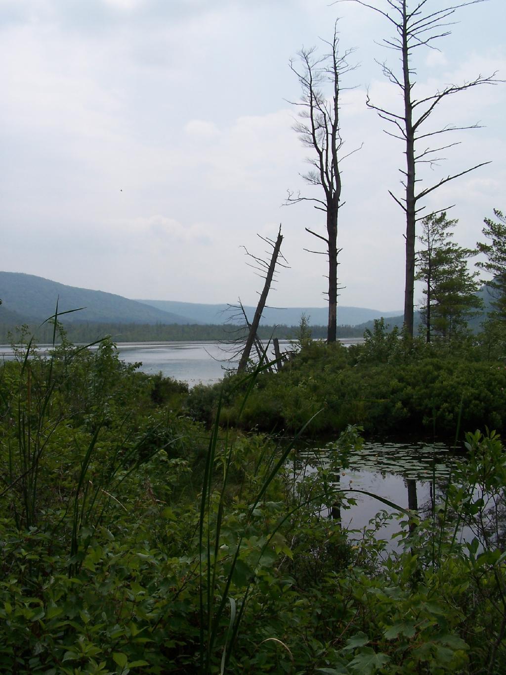
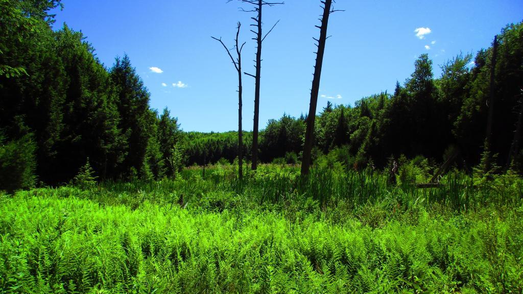
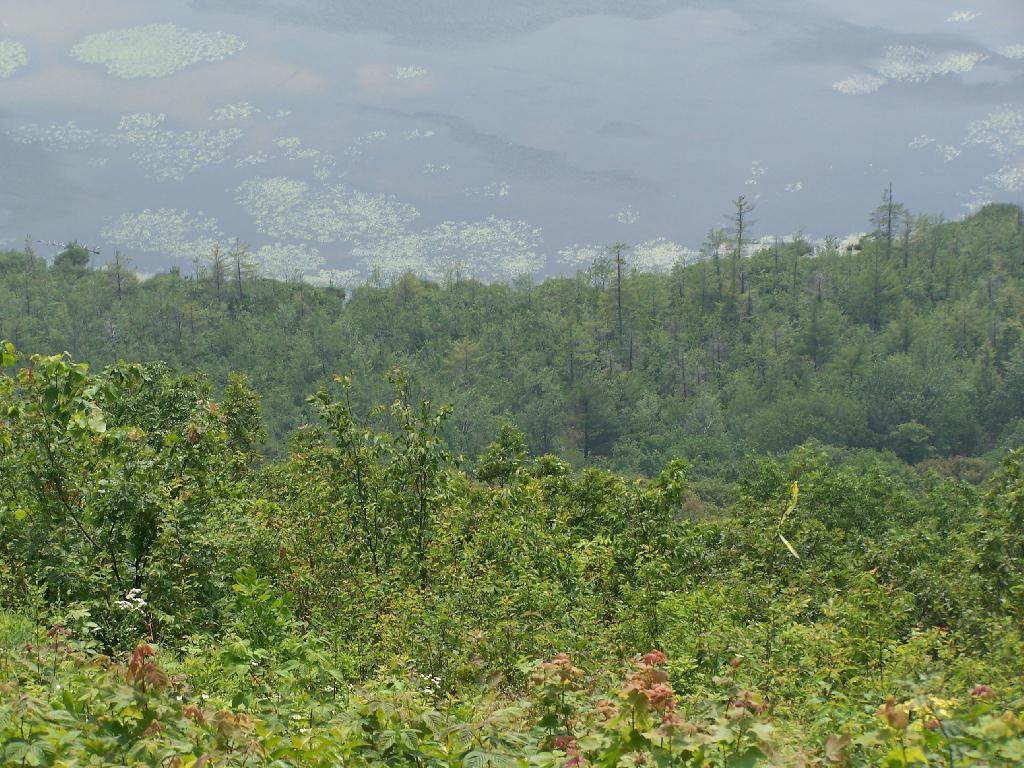
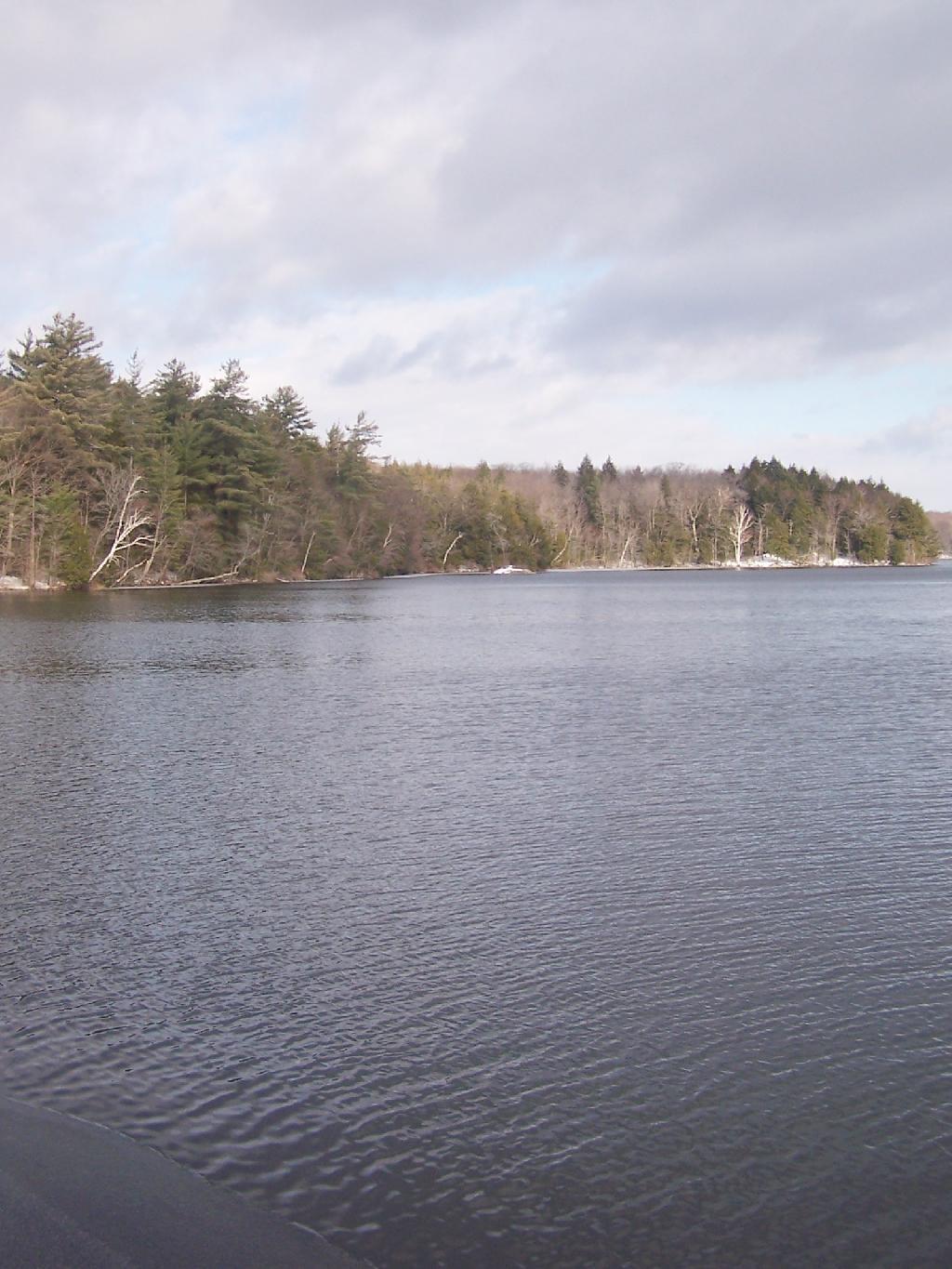
About 11 miles in you reach the Cedar River Flow, a big field camping area next to the dammed up Cedar River, creating a large man-made lake.


View Larger Map

Cedar River Entrance Sign

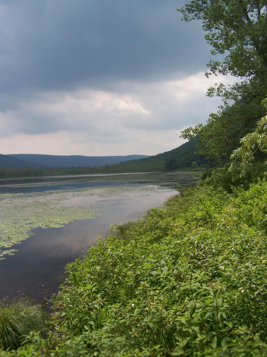
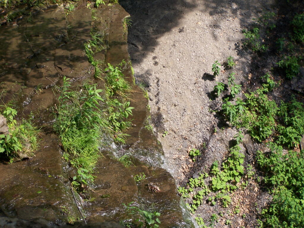
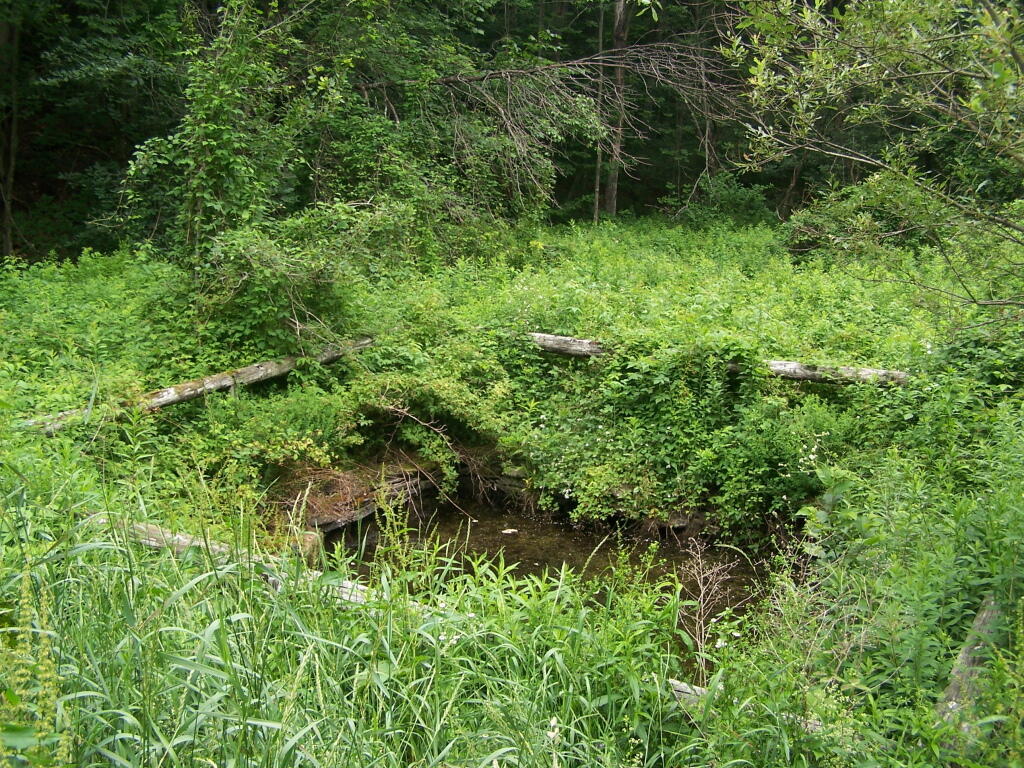
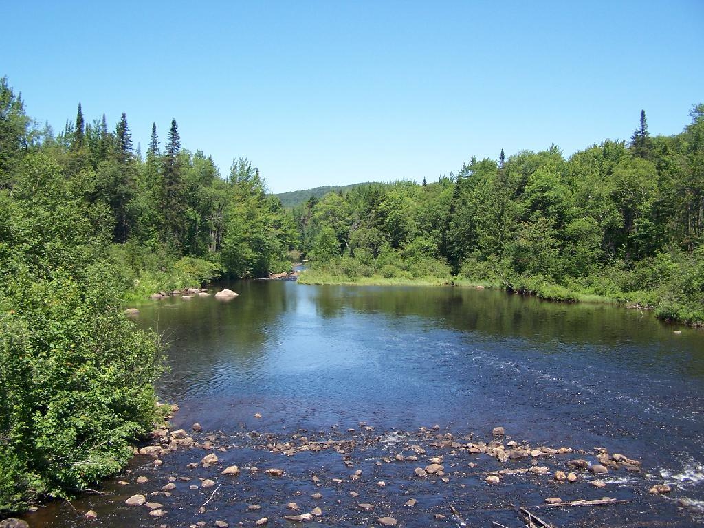
The beautiful Cedar River.

Otherside of Dam at Cedard River Flow

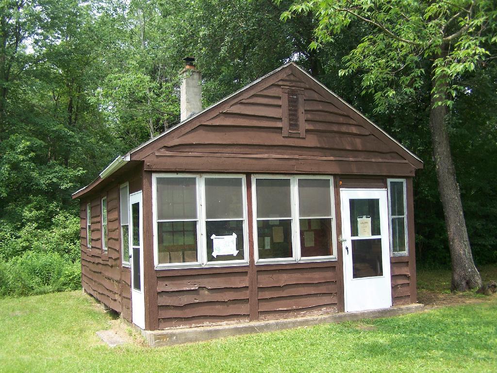
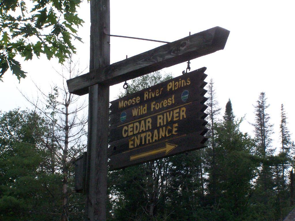
At the start of Moose River Road, there are two cabins and a sign in booth, along with the field camping that is popular with RVs.

Moose River Plains Overview


View Larger Map

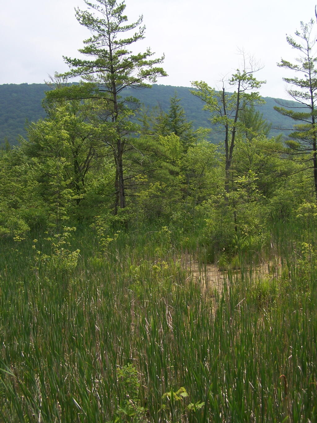
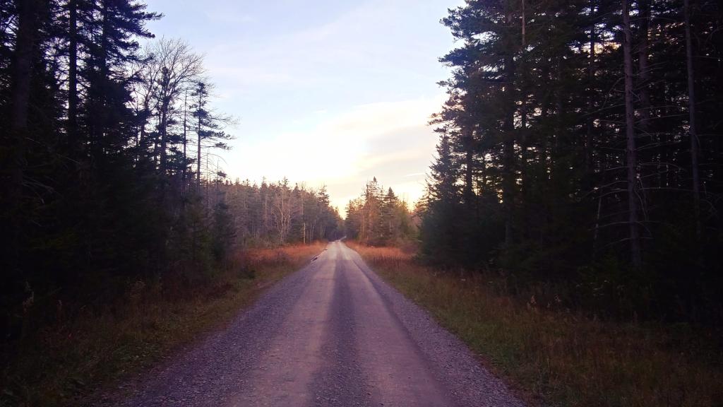
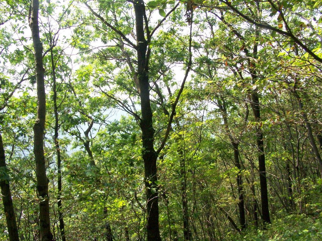
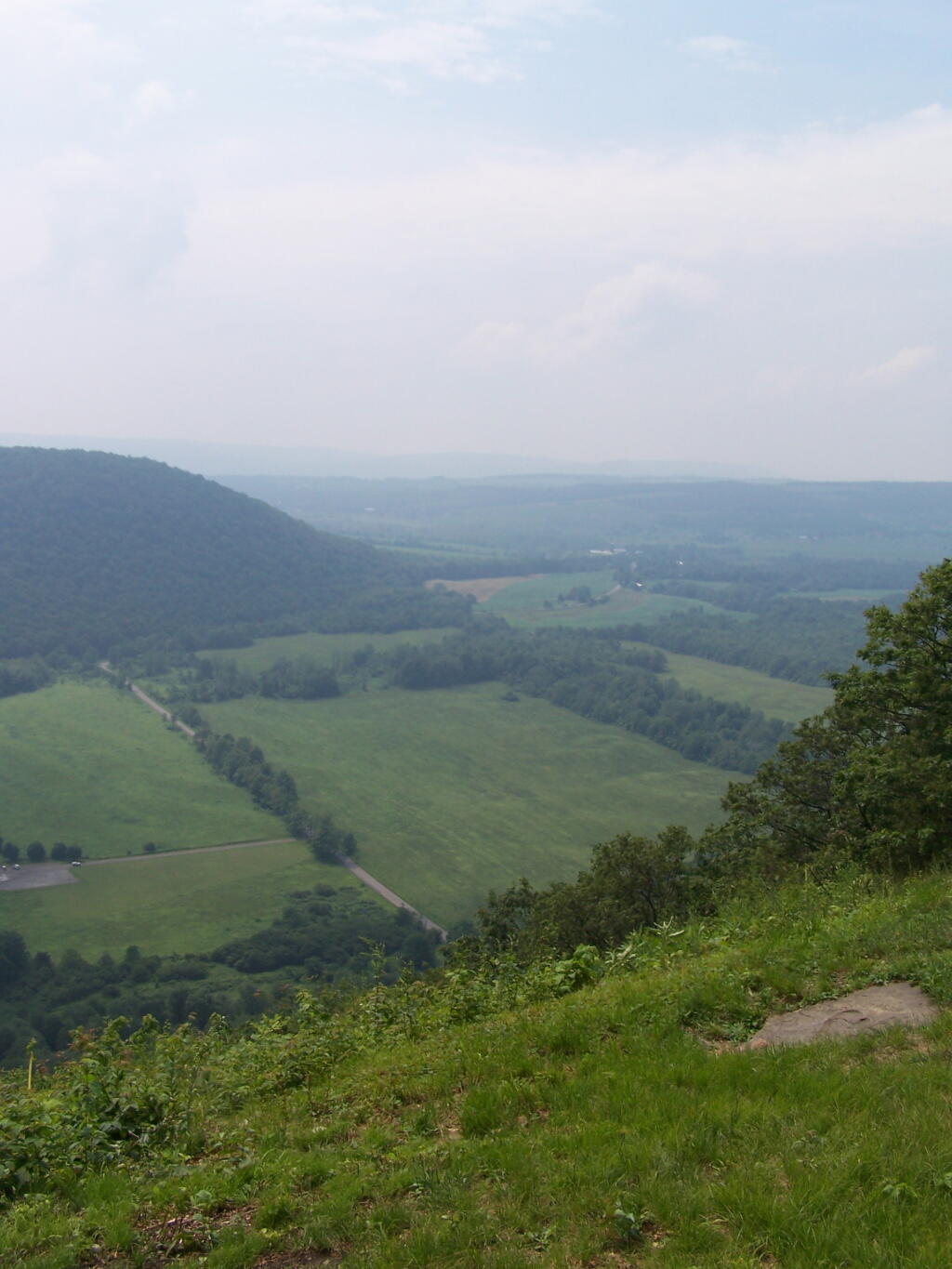
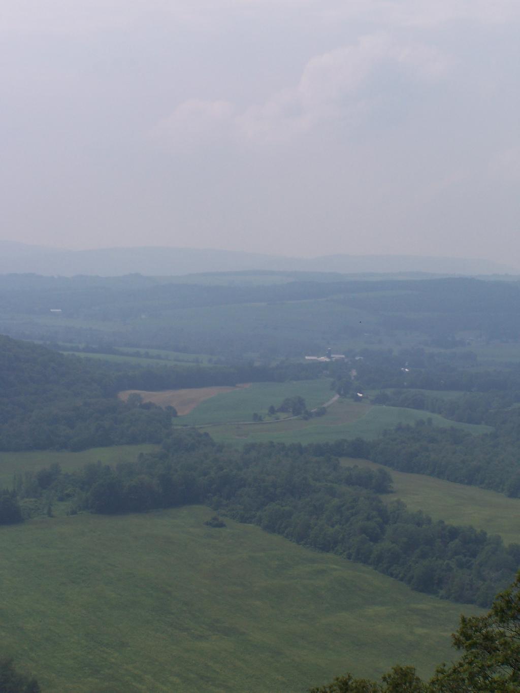
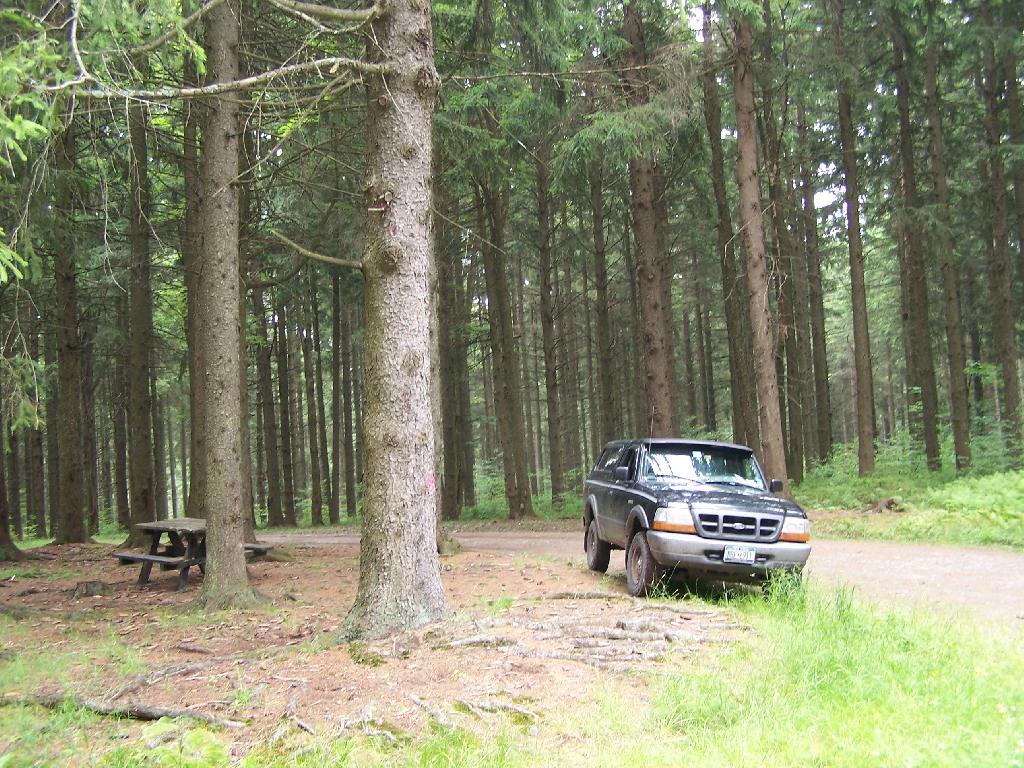
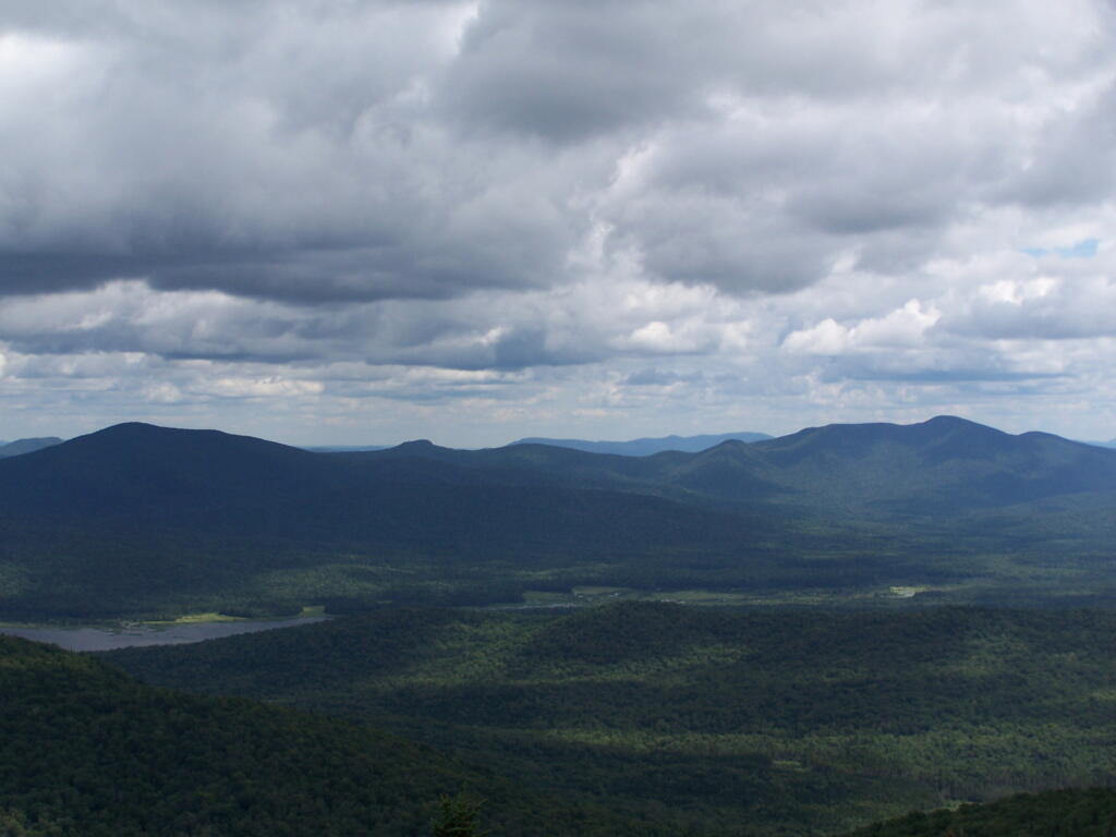
Along the next 20 miles of Moose River Plains Road, there are about 150 campsites, used by tent campers and RVs alike. Many are located far off the roads, and provide a great deal of privacy. The landscape is one of hills, mountains, and deep valleys, and then eventually becomes open sandy plains as you head east. It’s over an hour drive from here to Inlet, via a very rough state truck trail.


View Larger Map

You really can’t drive much above 15 miles per hour, and sections of the road are washed out and one must avoid them.

More pictures to come after vacation…

Labrador Hollow

Labrador Hollow is a deep valley surrounded by large hills on both sides. It’s located on the border of Fabius in Ondondoga County (south of Syracuse), and Truxton in Cortland County.

Restricted Use Area

At Labrador Hollow, there are three places you will want to check out:

  1. Labrador Pond
  2. Jones Hill Hang Gliders Cliff
  3. Tinker Falls

There are plenty of signs to guide you to the Labrador Hollow Parking area by the pond.

Labrador Hollow Sign

Through the marshy area, there is a 1/4 mile board walk which provides up close and personal views to the unique wildlife of the area.

Marshland

You usually don’t get a chance to be right up in a marsh like this, unless your deep in the mud with your boots, or it’s less grown up and you could paddle a canoe or kyack. So despite being a little out of place, it does give you a unique experience.

Labrador Hollow Sign

Looking at Labrador Pond through the marshlands.

Labrador Pond

There used to be a firetower on Jones Hill, which is now a nature center down by Labrador Pond.

Relocated Ranger's Cabin

Inside Rangers Station

An open section is mowed, so you can sit dwon by the lake and enjoy the views.

 Clouds Hang Low Over Labrador Pond

Then I drove over to the Kyack/Canoe launch for the pond, on the western side along Labarador Hill.

Clouds Coming In

Besides the kyack launch, there is a series of benches and a boardwalk that extend out into the lake.

Bench on Pond's Edge

Later I drove around to the Eastern side of the lake, then hiked down to Tinker Falls, an accessiable water falls. The trail is an easy 1/4 mile walk that is only slightly inclined.

Looking West on Table Rock Road

Tinker Falls Trail

The falls aren’t big, being maybe 60 feet at the most, but they are still pretty and simple. I wouldn’t confuse it with Niagara Falls or even the Kaaterskill Falls. By afternoon, a lot of people where playing in the falls, trying to stay cool.

Looking West on Table Rock Road

Falling Water

Here is the view from the top of Tinker Falls, accessed from the Finger Lakes Trail or the orange spur to the Finger Lakes Trail.

Looking Over Tinker Falls

I then proceeded to hike up to the Hang Gliders launch spot by the Orange Blaze Connector trail which hooks up with the Finger Lakes Trail. This is route I took, it’s slightly longer and steeper then the old woods road route.

Wetlands

You can also follow the old woods road, which goes directly up to Hang Gliders spot on Jones Hill.

Descending the Trail

Part of the Finger Lakes Trail runs along the edge of Jones Hill, although there aren’t any real views this time of year.

Along the Edge of Long Hill

Arriving at Hang Gliders clearing. It was very hazy out, with limited views.

North Through Hollow

Looking down at Labrador Hollow and towards Labrador Hill.

Looking Down at Edge of Pond

Farms in Fabius, with very poor views.

Farms in Fabius

I want to come back on a clear fall day. Maybe this fall I will go back out and explore this area again in the future.

Trees Along Southern Edge of Pond

Here is a map of the hike.


View Labrador Hollow 6-26-10 in a larger map

Brookfield Auto Trail

The Brookfield Auto Trail is located in the Charles Baker State Forest, a large state forest and popular equestrarian area that gets much use. Much like you would expect in such an area, there is a lot of mud, lot of horses and horse flies. I did a drive through of the truck trail, but was under impressed by it all.

Truck Trail #6

CNY Hiking did a great write up about it, so I won’t go through all of it, but I will make some brief comments about it. CNY Hiking has pictures from all of the stops, and a copy of the map and associated tour pamplet that is also avaliable at the main-horse Assembly Area on Moscow Road.

Charles Baker Sign

Next to the Assembly Area is a Camping Area, with 21-sites closely put together. I was not a big fan of them, simply because they where too dense, particularly for equestrain use. They should have been far more spread out, like along the many miles of truck trail, or at least with a little more privacy.

Truck Trail #6

Almost all the miles of truck trail where easy to follow, and nice and smooth. The trails where gravel and well maintained, although some of the markers had disappeared into the grass.

TT 4

Many of the stops are moderately interesting, although there are no great vistas in the entire route, which is relatively flat except for a few moderate hills and valleys. One of the more interesting stops is the No 6. Water Hole, dug originally for firefighting.

Stop 6: Waterhole

Dug Waterhole

There are no large ponds at Charles Baker, although Lost Pond is a man-made pont in one of the valleys. It is very rough country around there, and muddy from the horseys.

Lost Pond Sign

Lost Pond Sign

Along Truck Trail Number 6, there is this fascinating old marker nailed on to one of the White Pines in the planation.

State Reforestation Area: Be Careful With Fire!

The best part of the Charles Baker Auto tour is no more, the old firetower site. The fire tower was demolished in 1978, and supposedly was a very popular end to the tour, with views of the valleys surrounding the Charles Baker State Forest.

At Old Firetower Site

Here is a map of the route, although I also recommend you see the CNY Hiking Write Up.


View Charles Baker Auto in a larger map

Snowshoeing at Grafton Lakes

Last Saturday I went out snowshoeing at Grafton Lakes State Park. I wasn’t planning on going out, until I realized how truly nice it was outside. I quickly tossed my snowshoes in the pickup, packed up my pack, and off I went.

Snow Shoes

I drove out along Domain Road, past the winter entrance to the Grafton Lakes Park, and parked down along Second Pond. I didn’t realize that snowshoers/skiers could go through the winter entrance, and all the way to the beach on Long Pond. Instead, I snowshowed out along Second Lake to Long Pond. As you can see, Long Pond was not frozen.

 Shore of Long Lake

I decided to go on the trail around Long Pond. While I’ve been around Long Pond in a canoe and kyack in the summer, I’ve never been all the way around the trail in winter.

Several sections of trail would have been swampy had it been warmer. It instead was ice, in most portions thick enough, that the snowshoes crossed it without cracking through. The trail along Long Pond probably is not very good for hiking on wet times.

Icy Patch

The trail around Long Pond is signed with “More Difficult”. It is amusing to see the trail signed “More Difficult”, especially after all of the High Peaks and other mountains I’ve climbed in the Catskills and beyond. This trail is almost completely flat, bar a few rocks and roots sticking up and a few very small hills.

The far end of the lake looking due south towards the swimming beach. You can’t actually see the beach from here, because the lake turns slightly to the west from here.

Far End of Long Pond

After going around Long Pond, I headed along the Second Lake. This lake was frozen unlike the other pond. It was a bit too thin to dare cut across it.

Percent of Albany County Homeowners Who Moved in Before 1990

Here is a map of the snowshoe hike in blue.


View Hikes of 2009 in a larger map