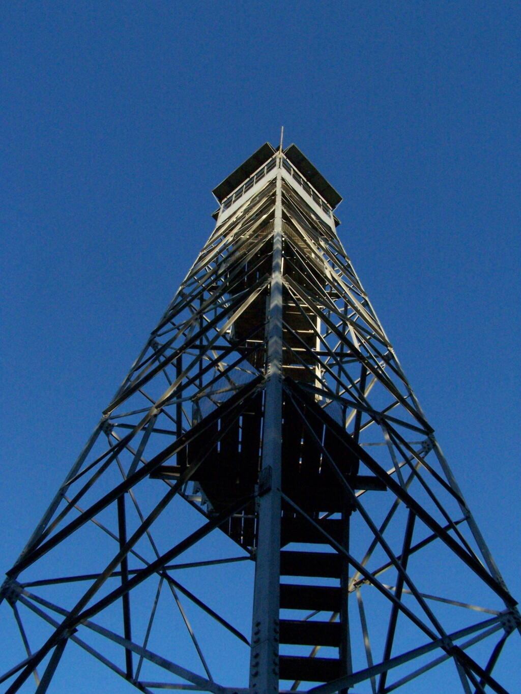
This past year I have spent a great deal of time hiking up mountains and visiting fire towers. Here are pictures of the second five fire towers I visited this year, along with a short description and maps in the second part of this series.
Make sure to all check out Eleven Fire Towers I’ve Visited This Year, Part 1 featured on Monday, November 16, 2009.
June 29, 2009 & June 30, 2009:
Sugar Hill Fire Tower
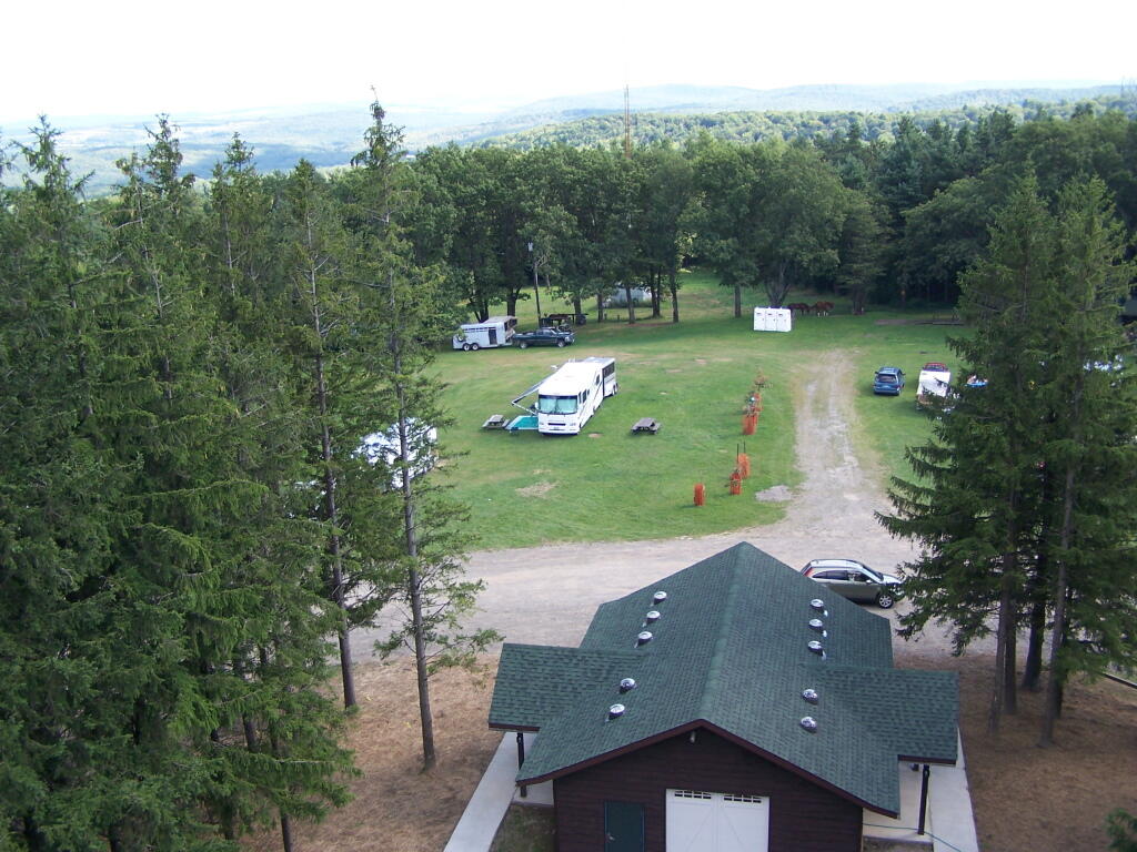
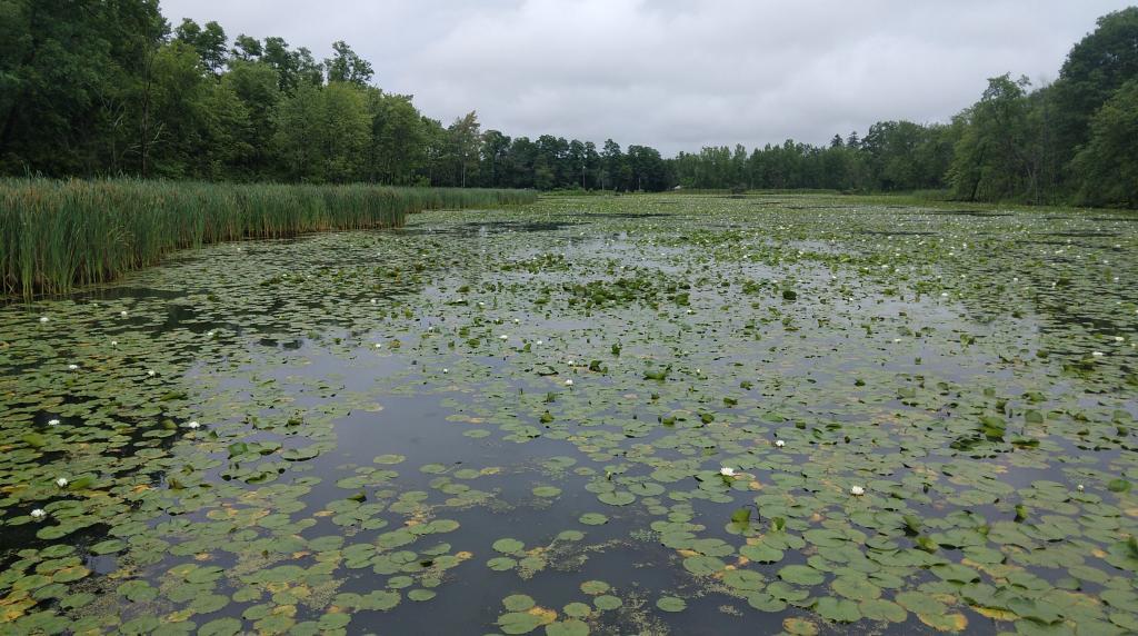
The Sixth Tower I visited, was Sugar Hill State Forest / Horse Camp is located outside of Watkins Glen. It’s an equestrian facility with 50 miles of trail, along with a small hiking/no horses area. They have free camping, and 3 equestrian lean-tos and one hiker lean-to on the Finger Lakes Trail. A definitely cool place to visit if your in the Finger Lakes.
Information and Pictures from my visit to Sugar Hill State Horse Camp.
View Hikes of 2009 in a larger map
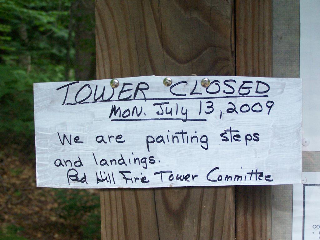
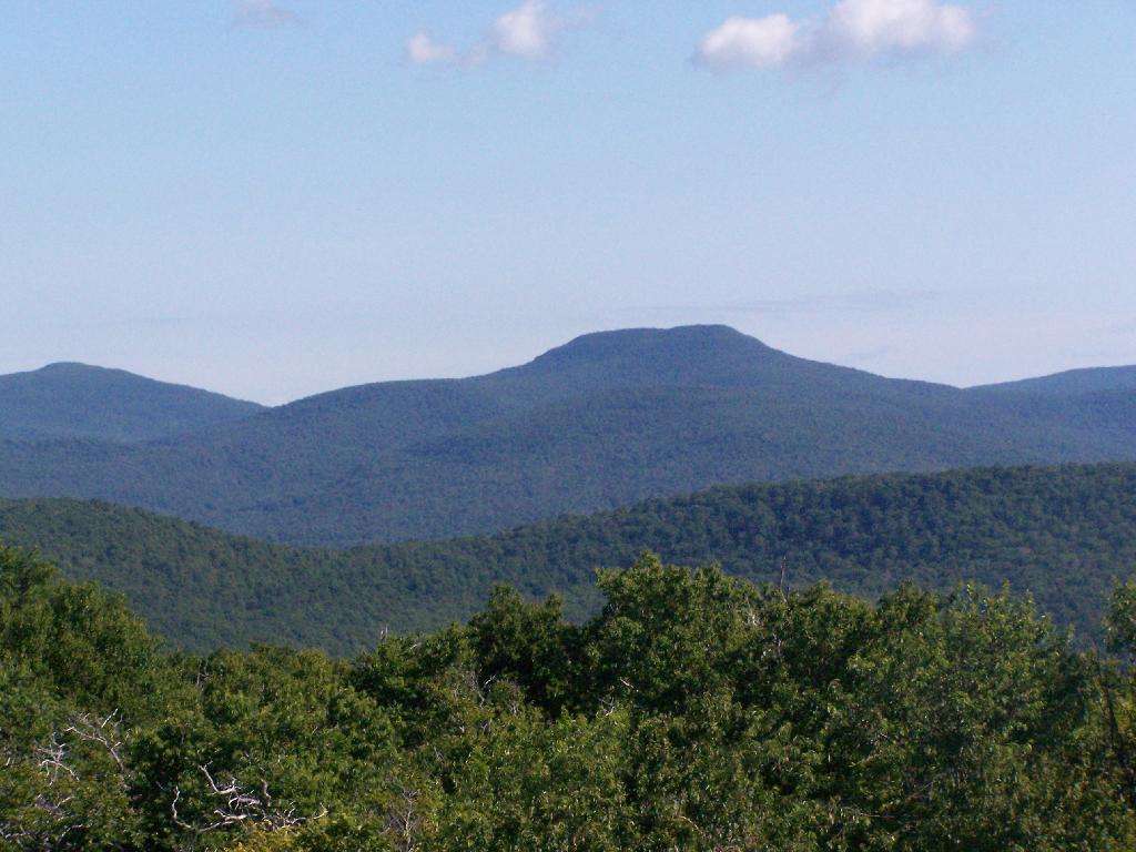
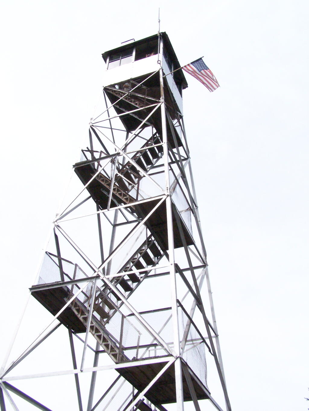
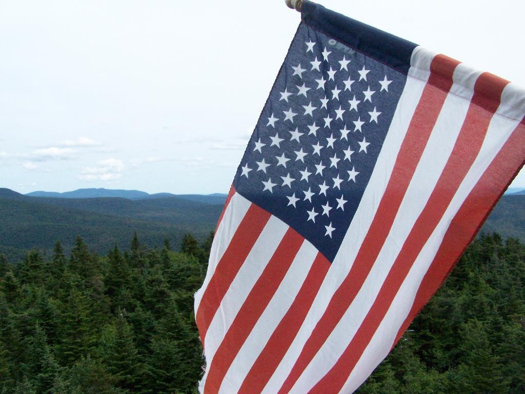
July 11, 2009:
Red Hill Fire Tower
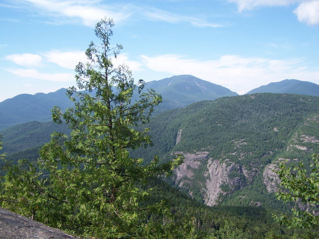
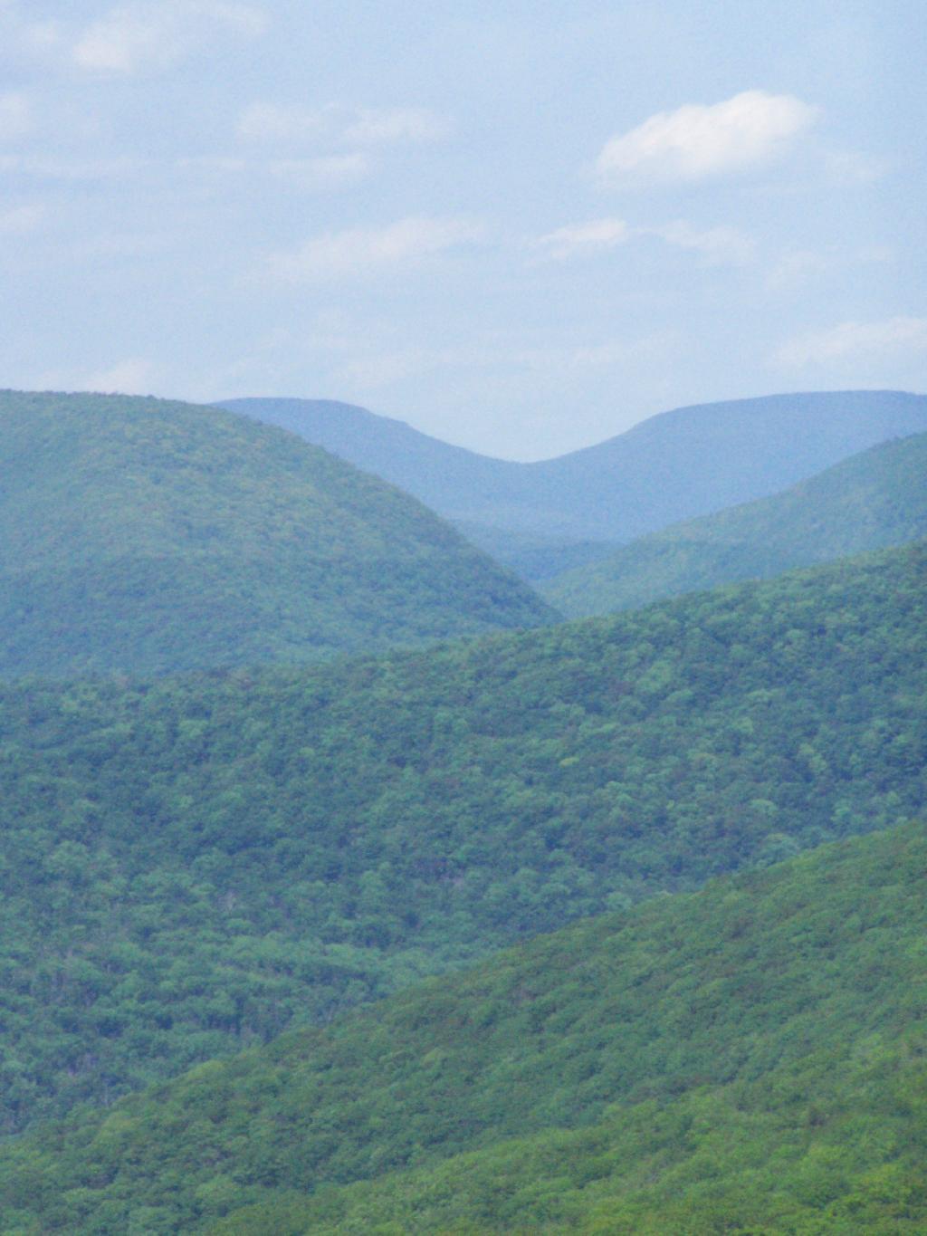
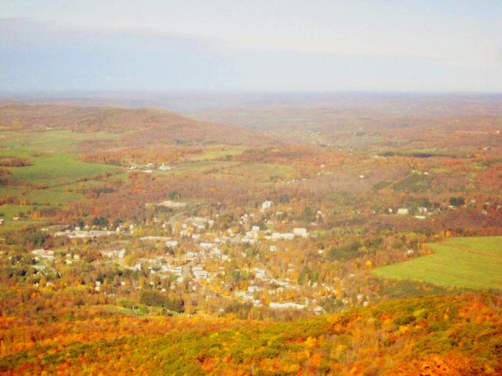
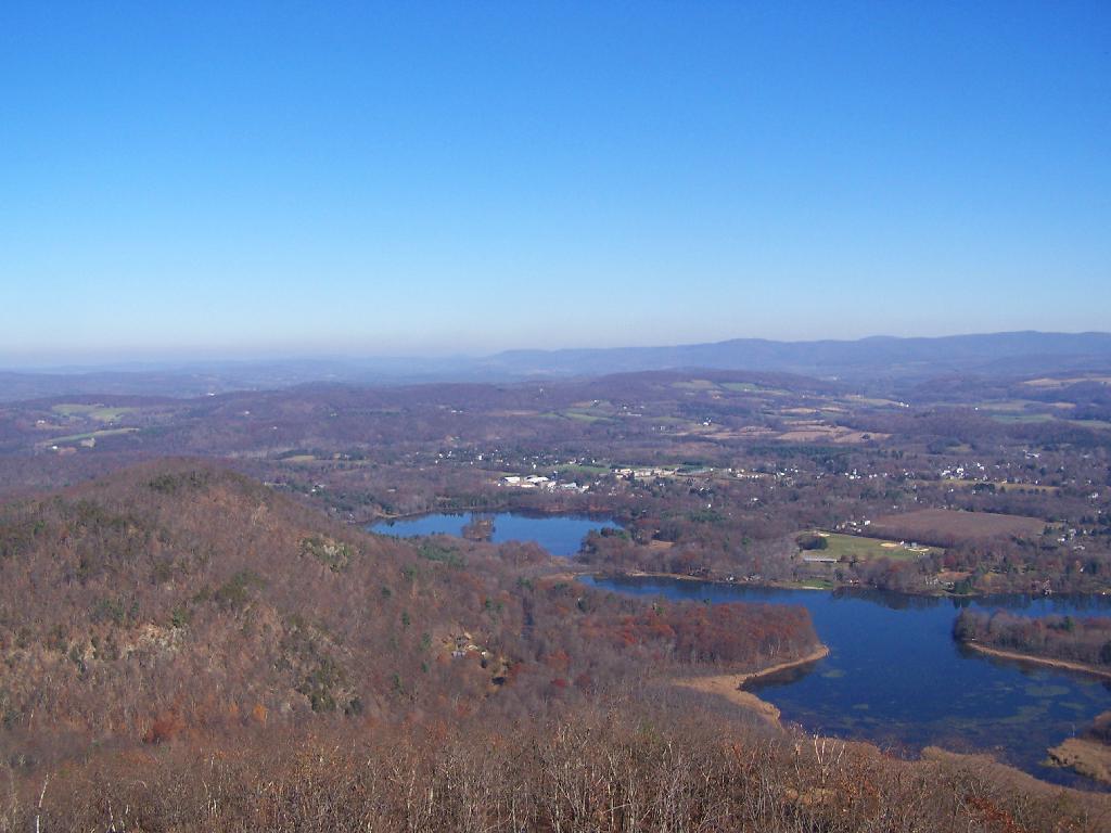
The seventh tower I visited, Red Hill Fire Tower is located south west of the Catskills, barely in the park, with views of the south-western Catskills, the High Peaks, and down towards the Delaware River in Pennsylvania.
Information and Pictures from my hike up Red Hill.
View Hikes of 2009 in a larger map
August 8, 2009:
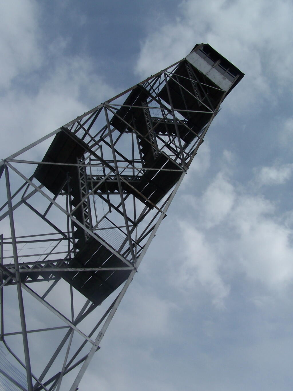
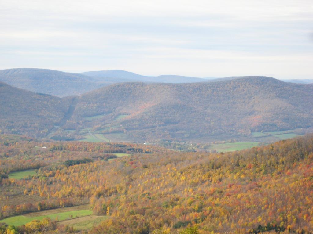
Balsam Lake Fire Tower
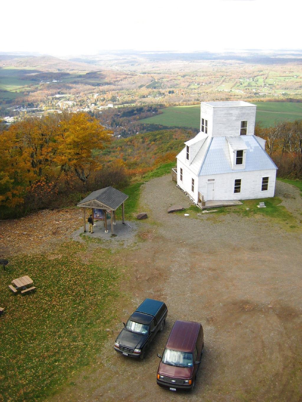
The Eightieth Tower I visited, was Balsam Lake Fire Tower is located in about 10 miles south east of Margretville in a very rural portion of the Catskill Mountains. It is the only tower in the Catskills actively staffed by DEC Fire Rangers on weekend (mostly acting as guides).
Information and Pictures from my hike up Balsam Lake Mountain.
View Hikes of 2009 in a larger map
August 7, 2009 & October 10, 2009:
Leonard Hill Fire Tower
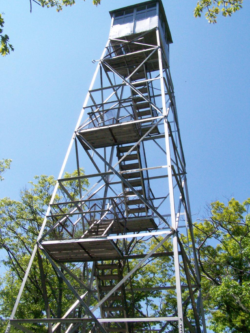
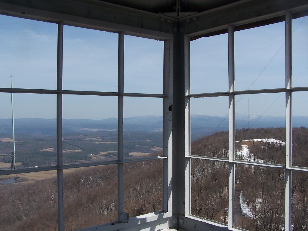
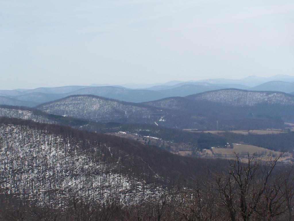
The Nineth Tower, Leonard Hill Fire Tower is currently inaccessible, pending renovation. They have removed the bottom to flight of stairs to discourage people from climbing the tower. That said, the DEC Forest Ranger has cleared out a camp site/viewing area directly to the west of the Tower for those who want to enjoy the amazing view due west of the Western Catskills and Upper Schoharie Valley.
Information and Pictures from my trips to Leonard Hill.
View Hikes of 2009 in a larger map
October 11, 2009 & October 12, 2009:
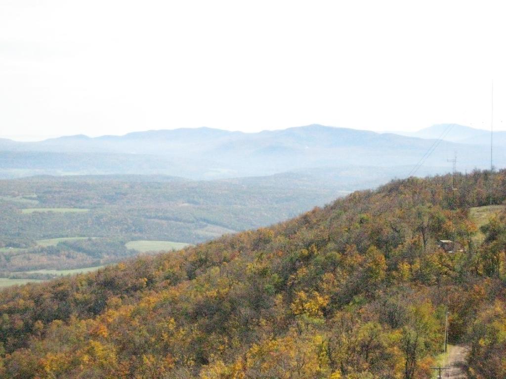
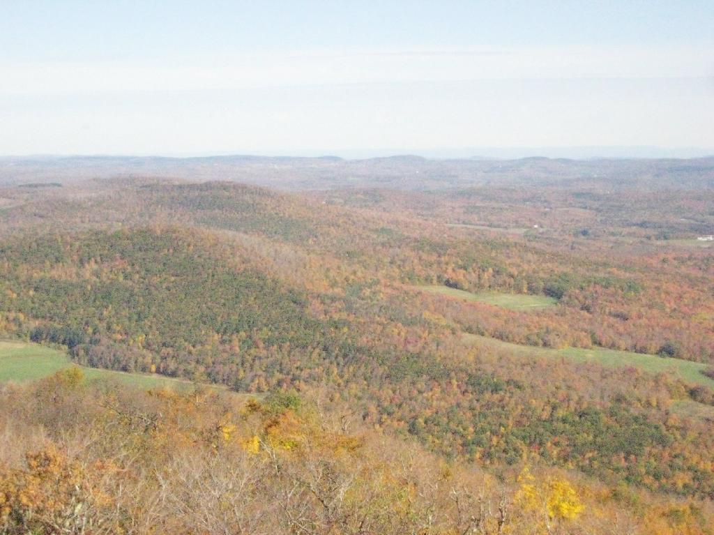
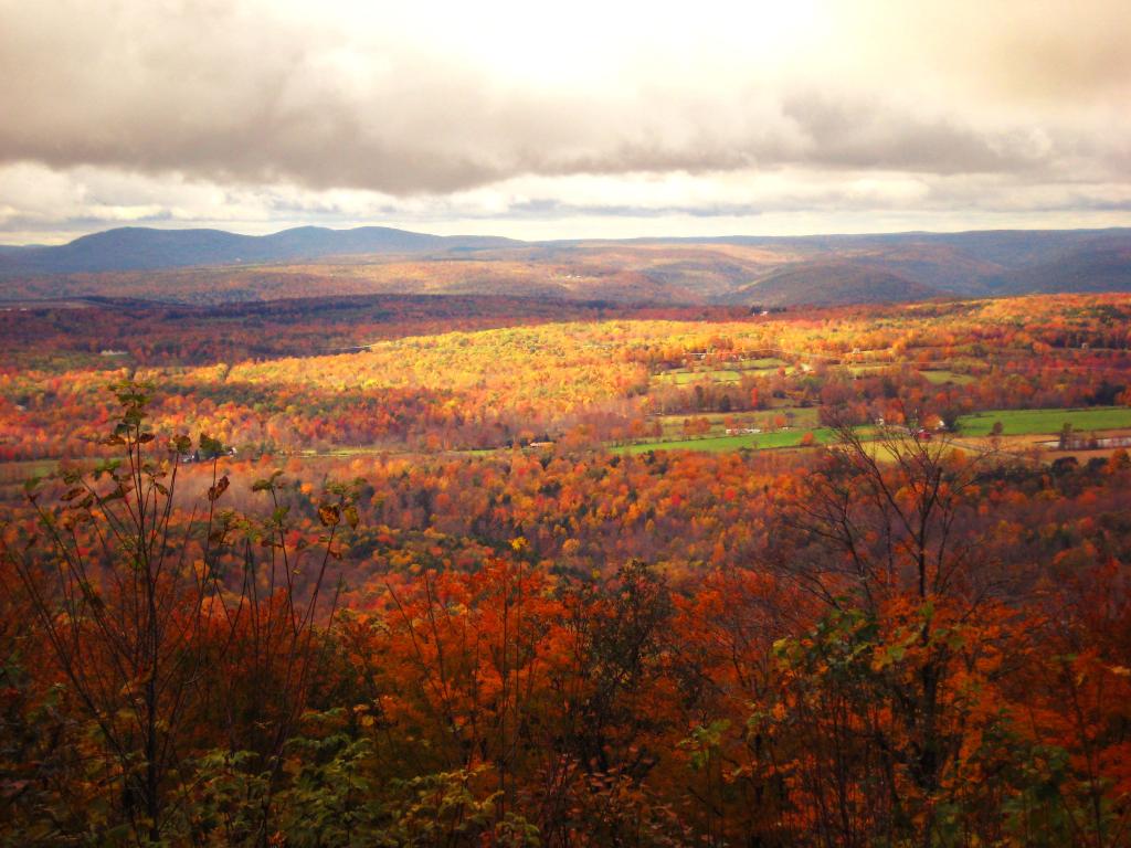
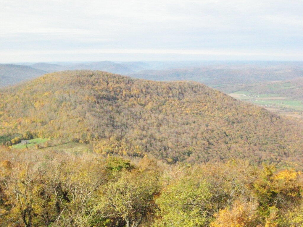
Mount Utsayantha Fire Tower
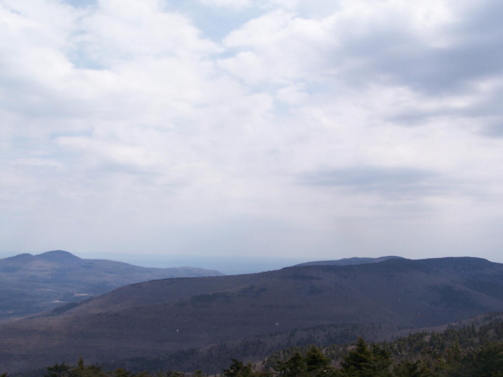
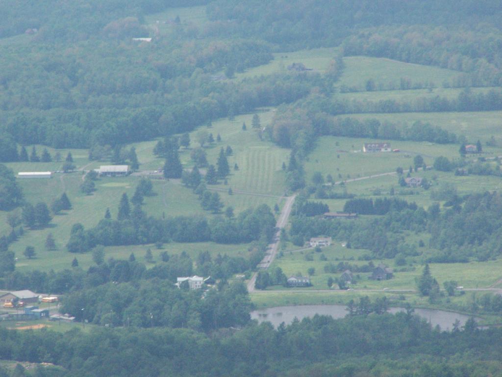
Mout Utsayantha was the Tenth Tower I visited. This fire tower is on a public village park, above Stamford, NY. You can drive right up to it — I visted it twice one weekend. It gives you amazing views of the western Catskills, the area around Summit and Emmenece State Forest, the Upper Schoharie Valley, and on clear days out towards Oneonta.
Information and Pictures from my trips to Mount Utsayantha.
View Hikes of 2009 in a larger map
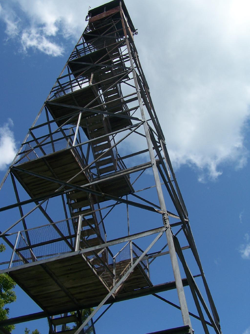
November 8, 2009:
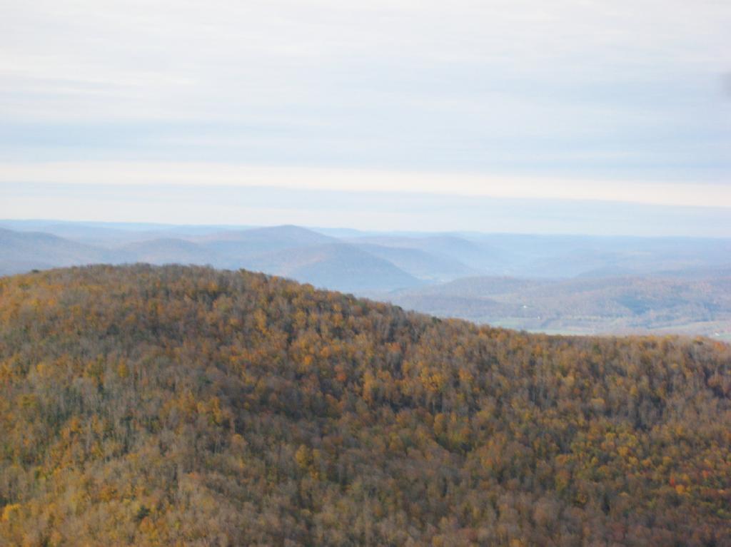
Stissing Fire Tower
The Eleventh Tower: Rising 1,000 feet above the low lands of Pine Plains, this firetower gives you beautiful views of small towns, lakes, farmlands, mountains, and a five state region of the Hudson Valley on clear day.
Information and Pictures from my hike up Stissing Mountain.
View Hikes of 2009 in a larger map
April – June:
The First Five Towers.
If you like this, then make sure to see the next five on Eleven Fire Towers I’ve Visited This Year, Part 1.