Search Results for: google maps pa state forests

Crane Pond Road in My Pickup

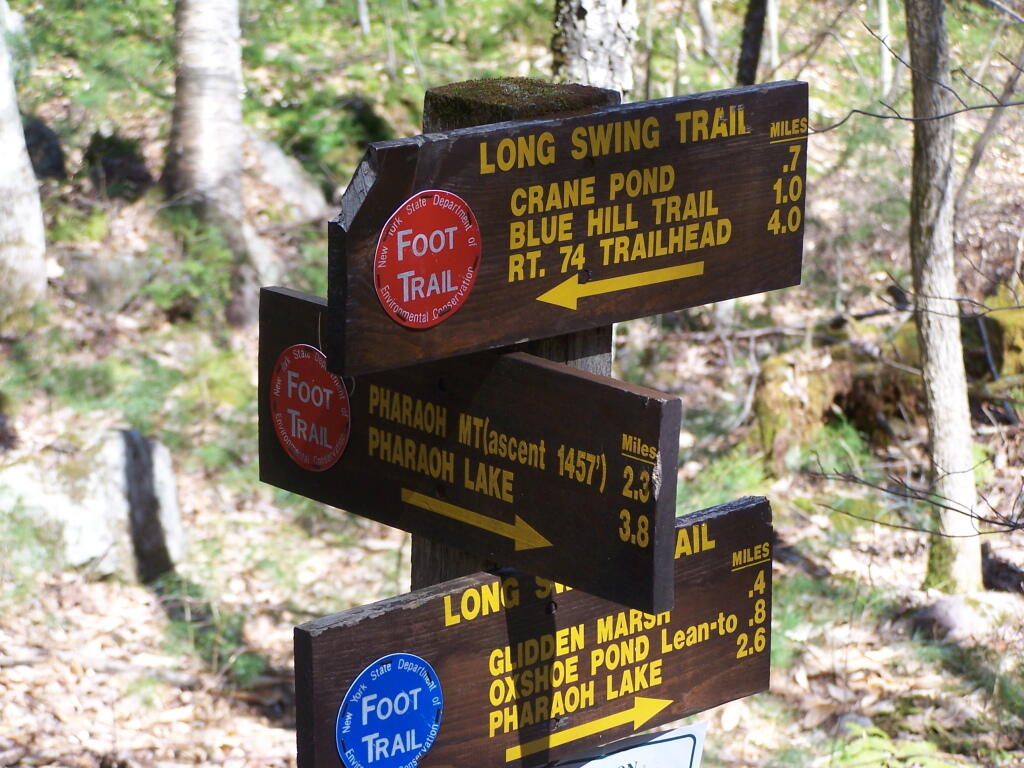
Crane Pond Road is a 2 mile historical truck trail in the Pharaoh Lake bureaucratically-defined “Wilderness”. This truck trail provides access Alder Pond and Crane Pond, along with access to hiking trails to Goose Pond, Glidden Marsh, Oxshoe Pond, Crab Pond, and Pharaoh Mountain.

In the Wilderness?

This truck trail is popular and is frequently used hunters, fishermen, backpackers, and hikers visiting the vast lands of Pharoah Lake “Wilderness”. The wilderness distinction, is rather dubious as these lands are not historical wilderness but only designated as such on paper by the Department of Environmental Conservation and the Adirondack Porn Agency. There is few old growth forests or undeveloped land remaining in our state, and the wilderness designation is frequently abused by environmental extremists.

The entire Pharaoh Lake “Wilderness” is traversed by old logging roads, has old foundations, and other ruins of a once privately owned, farmed or logged land. Many of the hiking trails follow old logging roads. The state has developed foot bridges, hiking trails, and many lean-tos throughout the property, so man made structures are not uncommon to find in this so-called “Wilderness”.

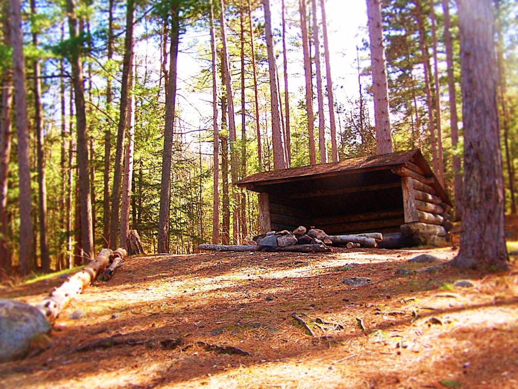
Oxbow Pond LeanTo

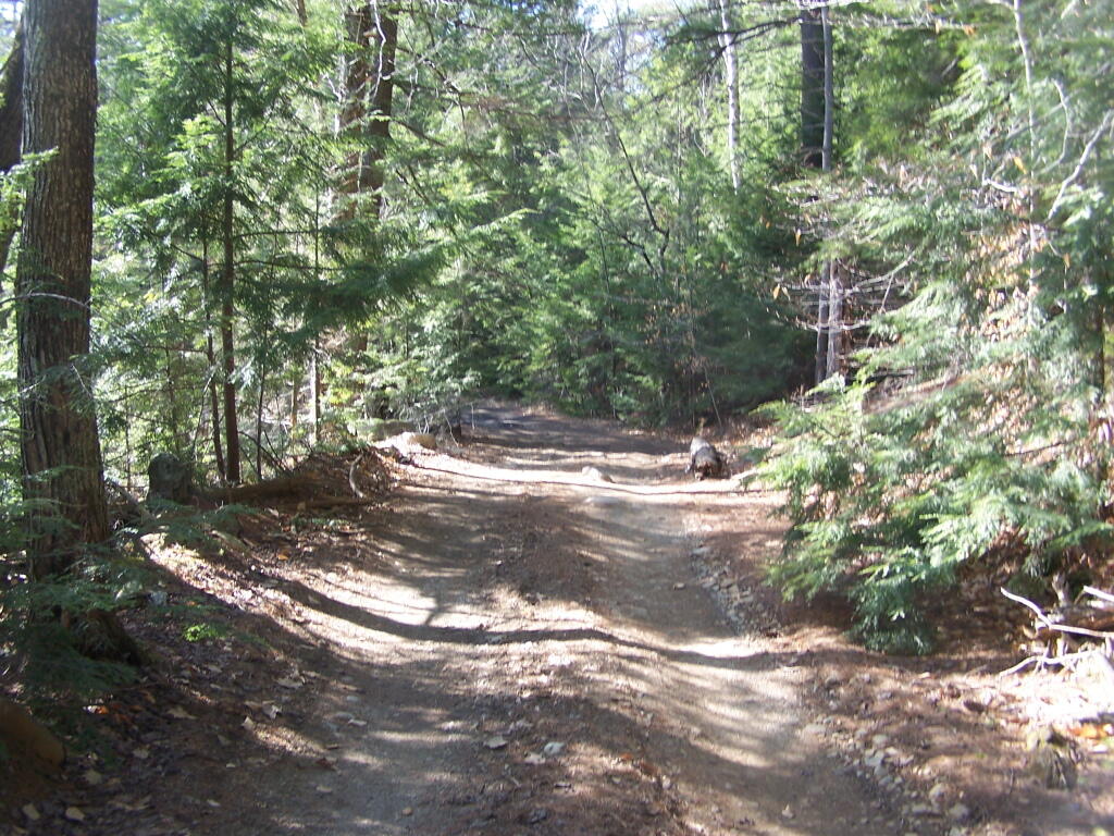
A Rough Truck Trail.

The entire Crane Pond Road is a rough truck trail. It’s has gotten minimal maintenance by the state of New York, ever since those with an certain extremist ideological agenda attempted to get this truck trail closed off.

 Relatively Smooth Section of Crane Pond Road

Some portions of the truck trail are deeply rutted, and at least this time of year, very muddy. A few places are washed out, and you have to travel past washed outs, or carefully climb over them. I bottomed out my Ford Ranger a couple of times and could feel the front-drive train pulling the back wheels along as they started to slip.

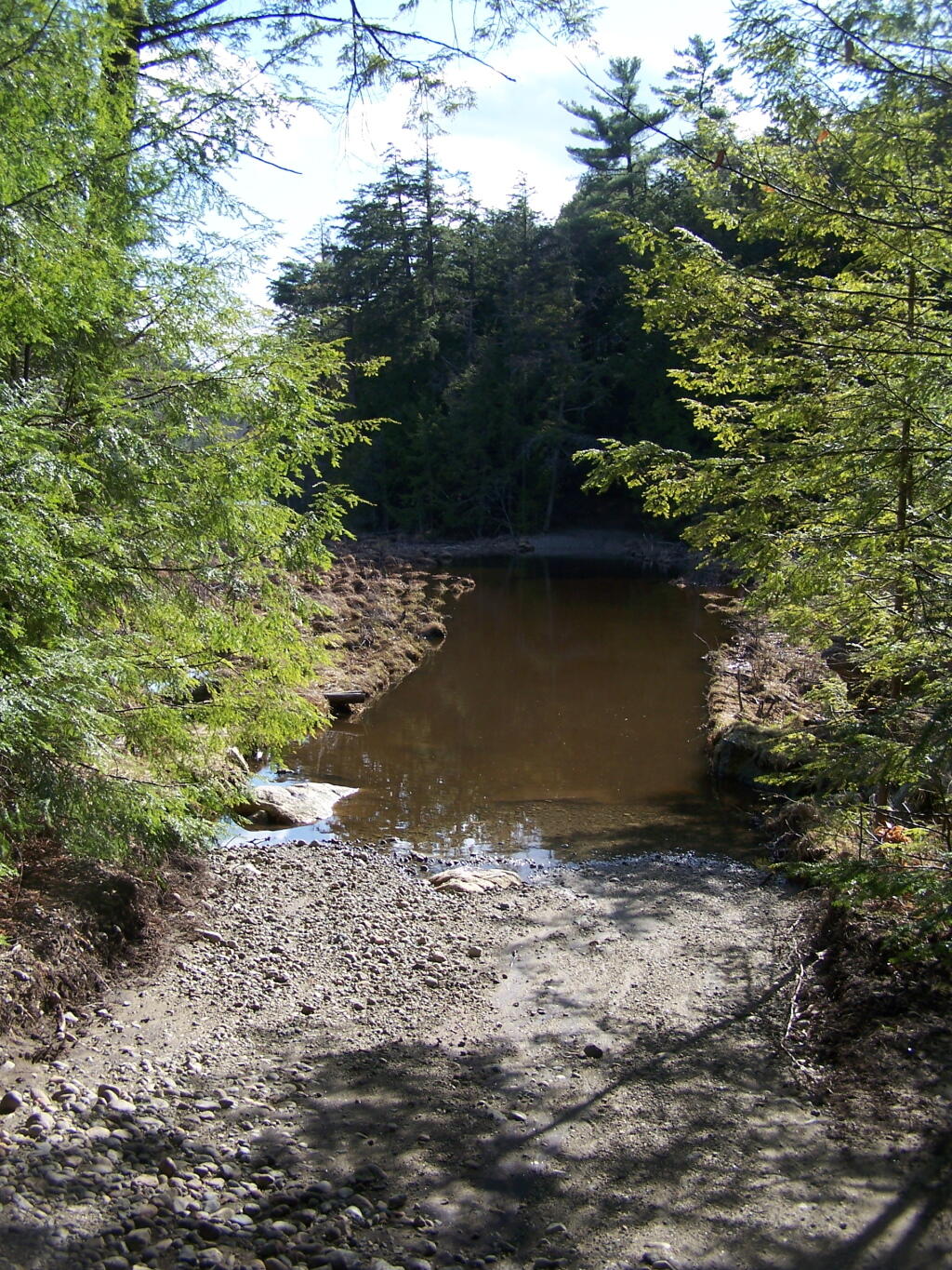
 Where Crane Pond Road Crosses Alder Pond

Towards the end of the truck trail, the truck trail actually crosses an inlet to Alder Pond. I didn’t try driving through this section during the high water of spring, but apparently at least one person with an old Chevy K1500 4×4 made it to the end without problems.

Lazy spring days

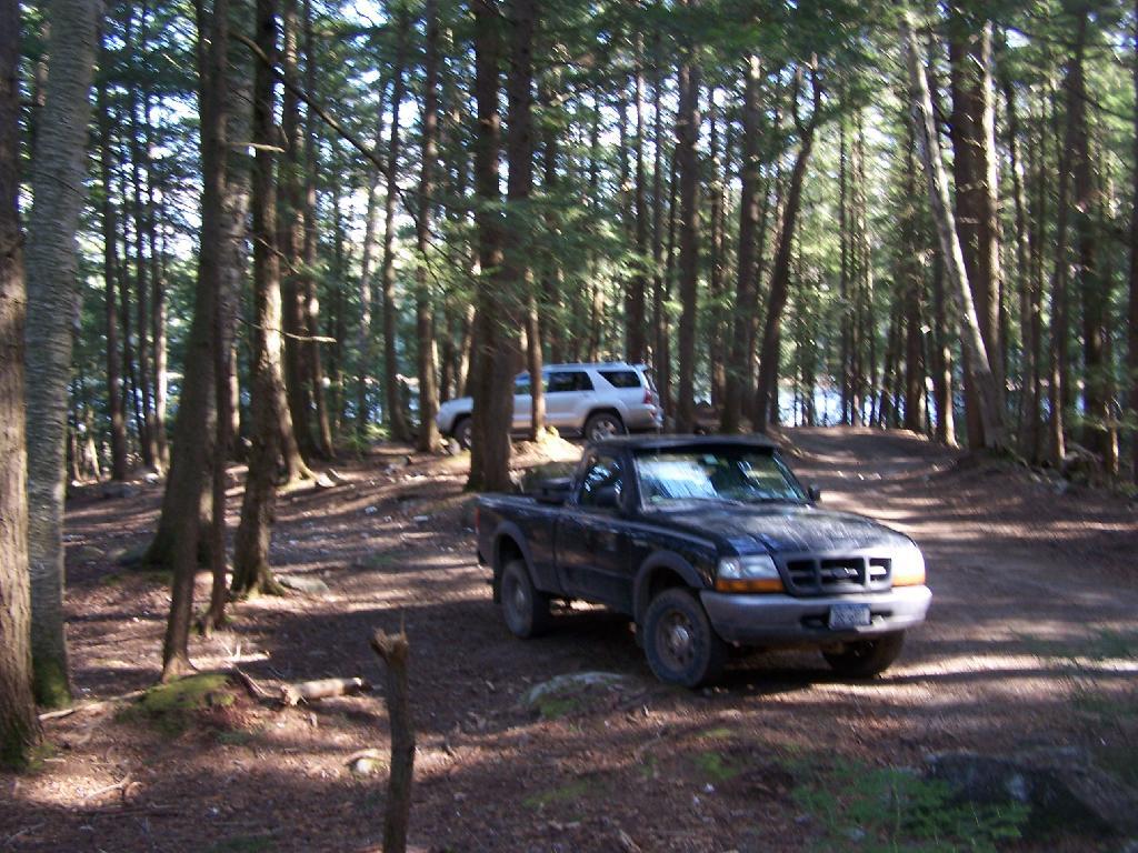
I drove to the pull-off right before the spot where the truck trail crosses Alder Pond. In low water, I wouldn’t mind driving through the inlet to the parking area at the end of Crane Mountain Road, but I wasn’t going to get my pickup stuck or flooded.

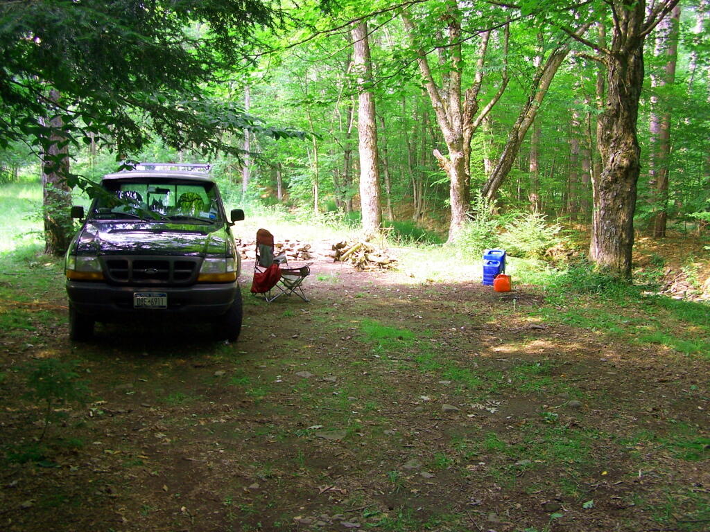
 My Truck Parked at Alder Pond

A Good Thing to Still Be Open.

All and all, I am happy that citizens fought to keep this existing truck trail open, against an extremist ideological agenda of some environmentalists. It shortens the hike up Pharaoh Mountain by 4 miles, and provides easy access to many important areas.

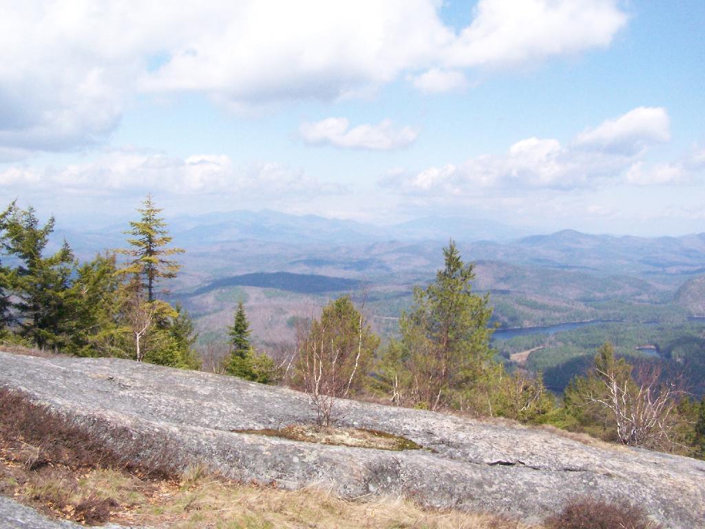
 Granite Rock Face

This would have been different issue if was proposed by the NYS DEC to build a new road through the Pharoah Lake “Wilderness”. If the DEC had shown up with bulldozers, and chainsaws, to cut a new road one could have made an argument against building a new road.

 Intersection

Yet, Paraoh Lake “Wilderness” is not that — it’s a land that has long been minimally developed with forest access roads, trails, lean-tos, with Crane Pond Road long being minimally maintained to provide access to this important public land. It’s not a Strip Mall or Housing division, and most of the area is very wild, even if it’s somewhat developed to provide for the public access and enjoyment.
New York State Should Maintain &
Keep Crane Pond Road
OPEN to Public Motor Vehicles !

Empire Plaza vs. Switzkill Valley

We all know the Empire Plaza is big. But how big is it compared to the vast farm lands and forests in the western half of Albany County? Let’s start with an arterial photo in Albany at 500 feet per inch, and then go out to the Switzkill Valley in Berne.

Empire State Plaza, Albany.

‘;?>


View Larger Map


View Larger Map

Switzkill Valley, Berne.

‘ ?>

The comparison of the vastness of Rural America as represented by the farm lands of the Switzkill Valley compared to dense urban Downtown Albany, shows how vast the rural portions of our country really are. And this image of Switzkill Valley represents the land occupied by a couple dozen people and half a dozen farms.

Balsam Pond 2009

I left around 10 AM from Albany on my first day of my vacation to the Finger Lakes, to head out to Balsam Pond in Chenango County. About a three hour drive, I figured it would break up the trip rather then go all the way out to Finger Lakes National Forest.

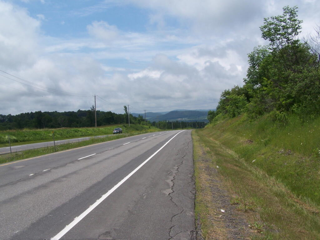
I decided to take beautiful Route 20 to Route 12 to Norwich. It was a nice drive down, but got long after a while. Many miles of dairy farms, open lands, and forests. From Norwich out to East Pharslia, it’s a relatively short drive, and Balsam Lake is located near from there. I also took a side trip to check out Brookfield State Horse Camp. This drive-in equestrian facility also offers free camping (in a field), and 130 miles of horse trails.

Turnpike

The sign for Balsam Tyler Road is missing, and I drove past it at first, but quickly realized my mistake, seeing a pickup truck towing a boat leaving this road.


View Finger Lakes Trip June 2009 in a larger map

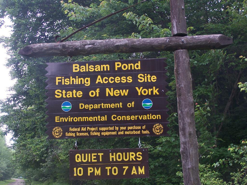
There is 10 campsites there just off Balsam Tyler Road near the Public Fishing Area sign. About 6 of them where actively used, all near the lake.

Sign

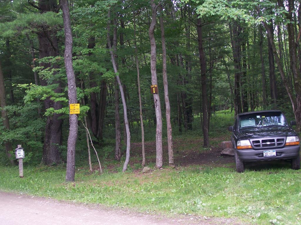
I took site Number 1. I wanted to have some quiet and not be bothered by the children down the ways which where noisy like children.

Number 1

The pond looked quite nice. They allow motorized boats and fishing on the pond. Evidence of people not using the outhouse made me a little worried about the water and getting beaver fever. Needless to say, I boiled well any water I got out of there.

Dam

The pond was fairly large, man made with an earthen dam. Very popular with the locals.

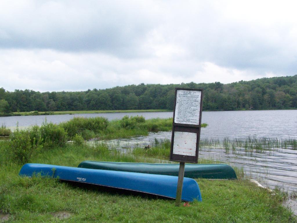
Canoes

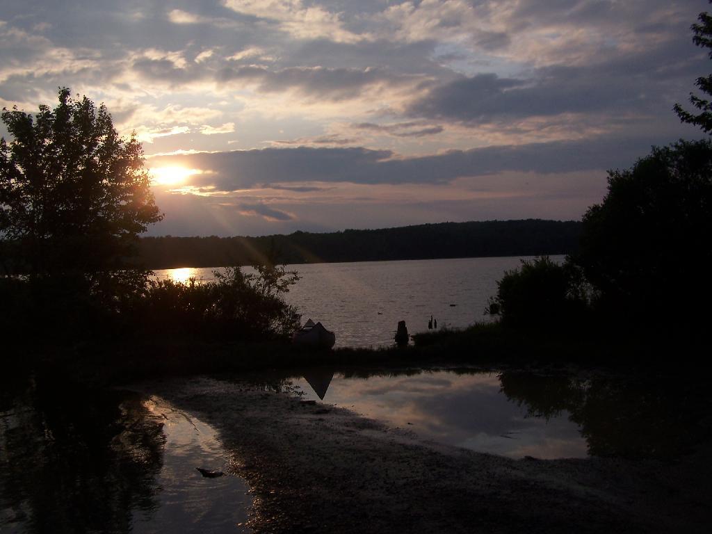
Beautiful sunset through the clouds.

Sunset

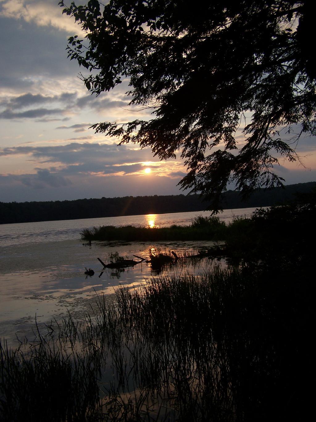
I sat down by the lake as night fell.

Night Falls

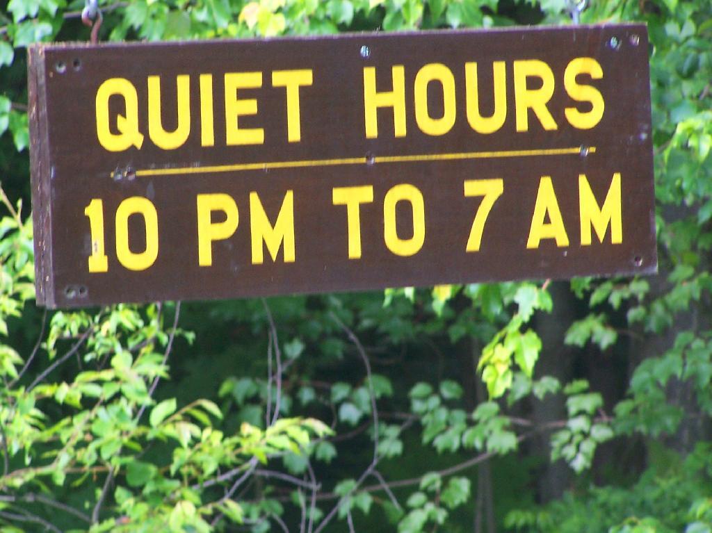
Fortunately the kids where good about being quiet once Quiet Hours came. It was real quiet and nice up there.

Quiet Hours

The next morning was quite nice.

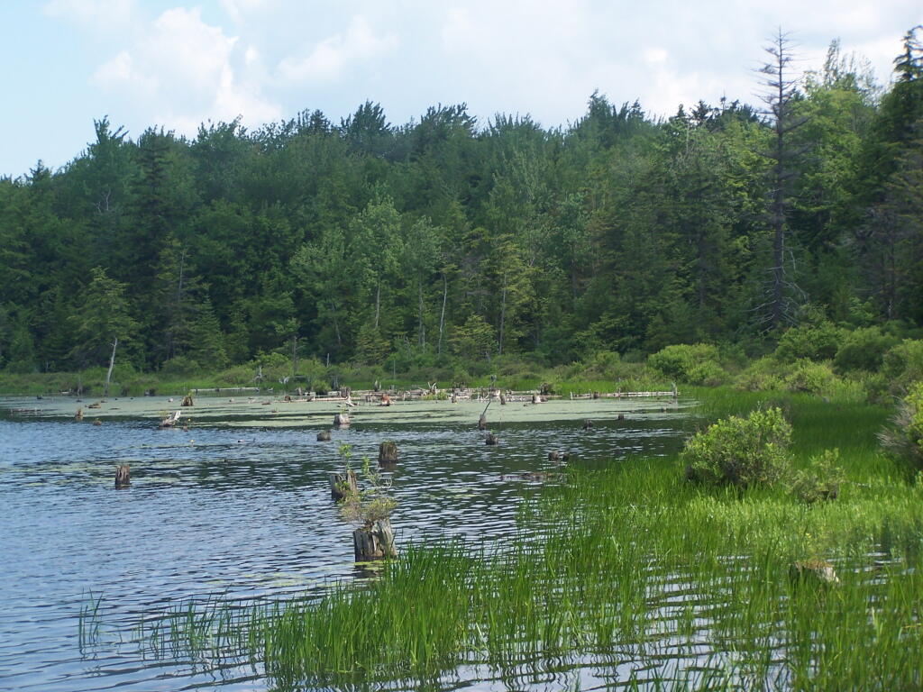
Swamp

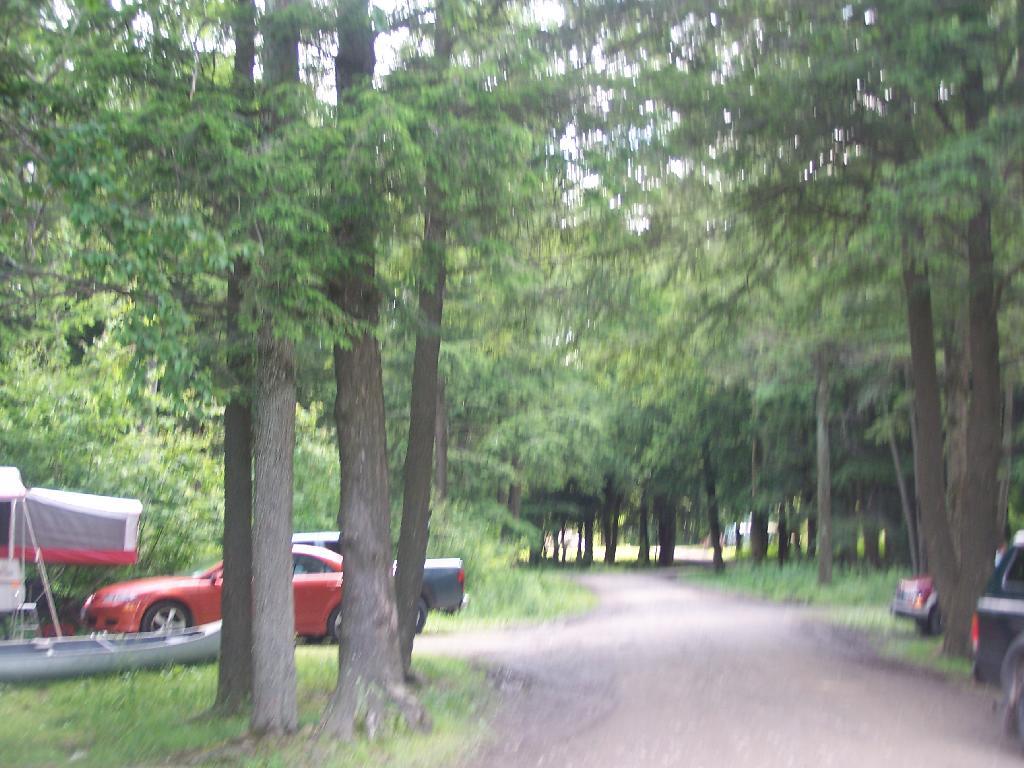
Lots of people camping here. Appologizes for the blurry photo, I always get nervous photographing other people’s stuff.

Campers

I went for a short walk in the evening. An overview of the lake and surround areas.


View Hikes of 2009 in a larger map

Back at Burnt Rossman

One of my favorite state forests for drive-in camping, I decided to stop by on my way back to Albany from hiking Mount Tremper. I arrived around 5 PM, after checking out some sites along Cole Brook Road. This area was pretty grown up, and while a designated camping area in the master plan, it wasn’t clear where property lines where. Driving along Cole Brook Road would be rough by anybody’s terms, impassable by passenger car, but rough in a pickup with worn-out shocks.

Camping

It was a pleasant night, I stayed up until 1 AM listening to music and reading by the camp fire. The fire was big and great, although I have to admit the smoke kind of blew my way so I had to move the truck. My new truck battery was strong, although I did let the truck idle for 20 minutes around 11:30 PM just to make sure I would be good to go.

I ended up camping one site lower then my preferred site as another family was camping up there. Hopefully I didn’t keep them up with my Merle Haggard. It was a good night for sure.

I got up around 12 noon the next day, after a good nights sleep, then decided to check out the State Truck Trail north-east spur off of Tamarack Road. It proceeded about two miles back, along logged sections and white pine forests, back to an area with a sign pointing to a lake. I got out of my truck to start hiking back that way, but seeing Turkey Hunters, I decided to give them distance, and hopped in my truck and drove over to Vromans Nose.


View Hiking in 2009 in a larger map