Search Results for: google maps pa state forests

Camping in Green Mountains National Forest

Green Mountain National Forest Camping πŸ•

Here is a full-screen interactive map, that uses the official forest service maps as a backdrop. You will need to zoom in to see the individual roads.

In the Green Mountain National Forest there are a variety of back country roads, offering primitive roadside camping.

  • Campsites are free to use, and have no facilities except for a fire ring and a pull-off from the road, and sometimes a site reinforced with gravel.
  • As noted below, some campsites have additional facilities.
  • Don’t make a mess of campsites, pack out any garbage left over.
  • Burn only dead and down trees, don’t bring in wood from out of state.
  • You can camp up to 14 days per 30 day period in Green Mountain National Forest — no permits are required.

Here is a listing of the campsite coordinates in a spreadsheet (Green Mountain tab). Please note, these coordinates are not exact as they are drawn based on memory.

Please see also information on dispersed, roadside and back-country camping in New York State, Pennsylvania and West Virginia.

The below descriptions of camping areas from the Green Mountain National Forest’s webpage, General Forest Camping.

 North Half of the Green Mountain National Forest

Note: You must zoom in to see individual roads on above interactive map. Campsite locations were added by hand-digitizing and are not exact.

Austin Brook Road: There are three easily accessible campsites by Austin Brook on Forest Road 25 in Warren. They are all within 0.25 mile of State Route 100.

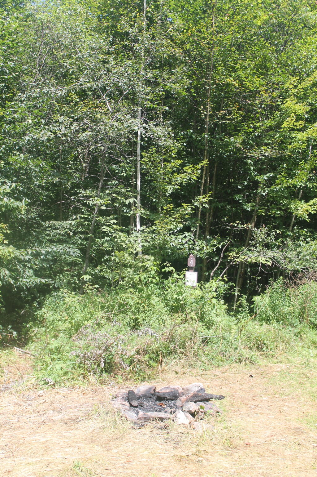
Campsite 4

Bingo: Forest Road 42 in Rochester runs alongside a mountain stream; camping is allowed at designated sites only. These 10 campsites are available on a first-come, first-served basis. There is a limit of 10 people per site. Check the Bingo Brook bulletin board for designated site locations and other site limitations.

Downingville: There is one secluded site in a small clearing near a mountain stream on Forest Road 291 in Lincoln.

Fay’s Meadow: There are a few sites in an open meadow in Forest Dale. Please do not drive on the meadow because a farmer mows the hay from it. There is a stream for wading and fishing at the north end of the meadow.

Goshen Brook Road: There are a few campsites in and around an open area just beyond the turnaround at the very end of Forest Road 67 in Ripton.

Kettle Brook: A small meadow site at the end of Furnace Brook Road in Pittsford.

Michigan Brook Road: Forest Road 35 in Pittsfield provides many camping opportunities in the woods and along Michigan Brook. The road is not recommended for low clearance vehicles.

New Haven River: There are a few campsites next to the New Haven River at Emily Proctor and Cooley Glen trailhead, on Forest Road 201 in Lincoln.

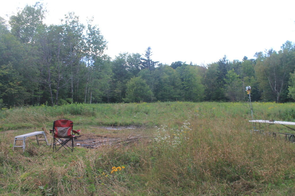
Field Camping at Romance Header Campsite

Romance Header: A large meadow campsite at the end of Forest Road 224 in Forest Dale. A stream lies to the southeast of the meadow.

Sparks Landing: There is one site in a small meadow on Forest Road 233 in Lincoln. There is good fishing in Sparks Brook, which lies just south of the meadow.

Steam Mill Clearing: There is a large open field on both sides of Forest Road 59 at the Skylight Pond Trailhead in Ripton.

Texas Falls Campsite

Texas Gap: These old fields and side roads on Forest Road 39 in Hancock offer many camping opportunities.

White River & Gulf Brook Roads: Secluded camping, open fields, and beautiful views are offered from the abundance of primitive campsites found along Forest Roads 55 & 101 in Granville.

South Half of the Green Mountain National Forest

Note: You must zoom in to see individual roads on above interactive map. Campsite locations were added by hand-digitizing and are not exact.

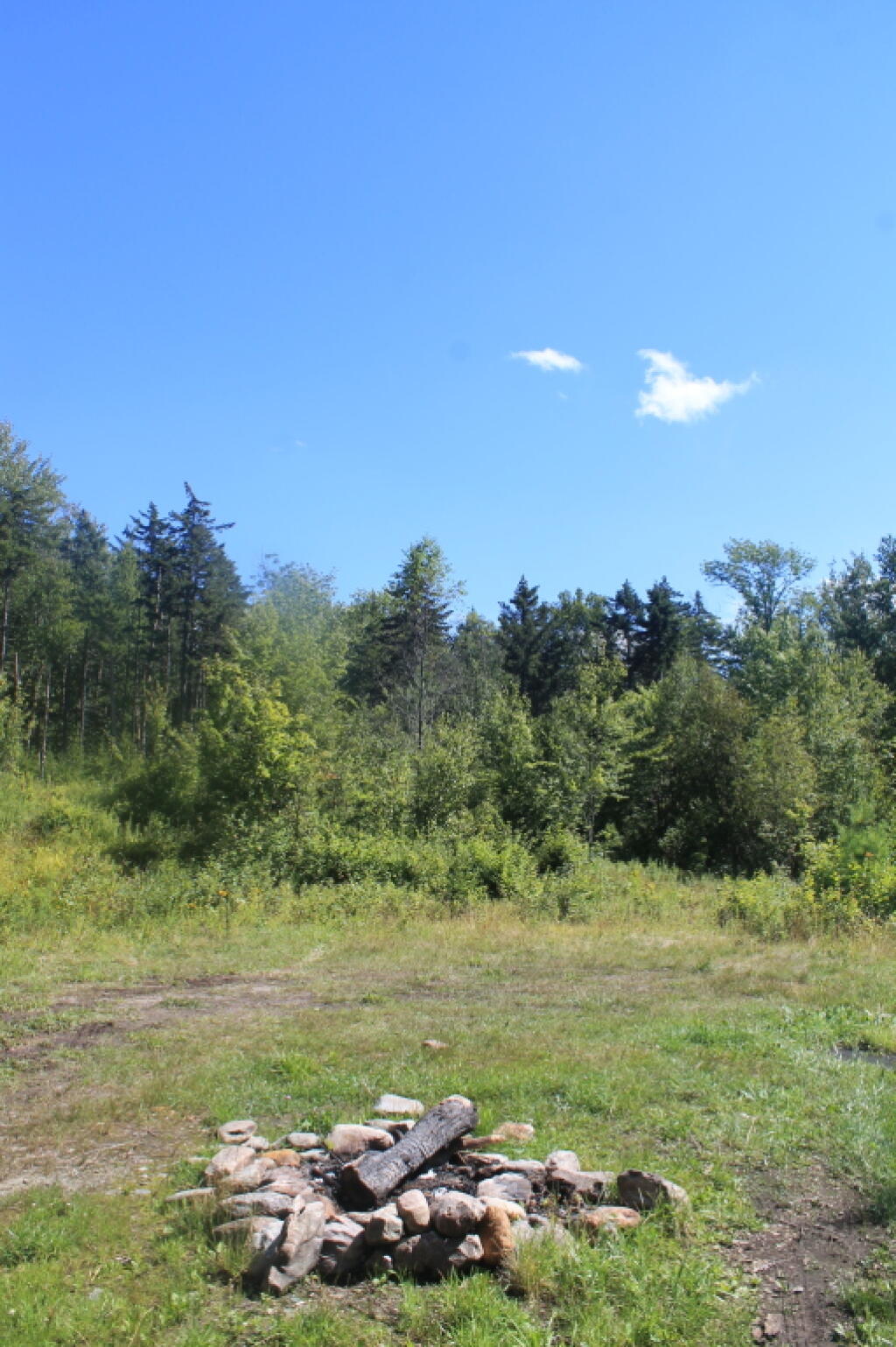
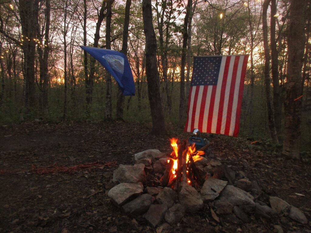
 Campfire

Branch Pond Road: Several sites on this road off of Kelley Stand offer good camping opportunities.

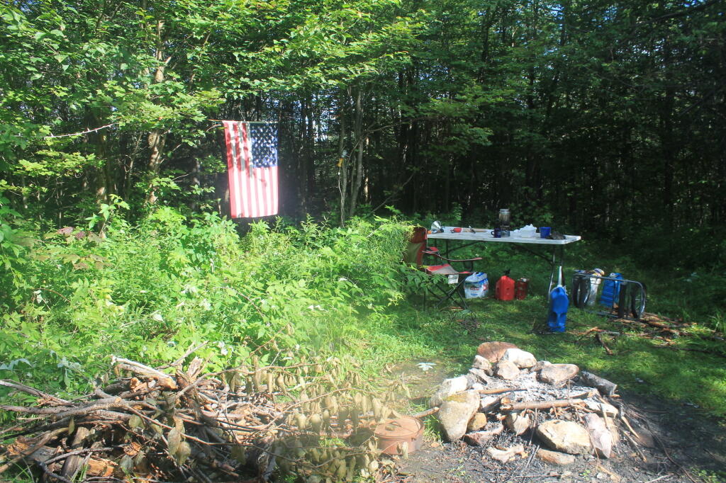
Making Breakfast at Camp

Forest Road 71: This forest road stretches from the old Somerset airfield to the Kelley Stand Road. Campsites can be found in various spots along the way, and along some of the forest roads leading off of Forest Road 71.

Forest Road 74: This forest road is a little less remote than other roadside camping opportunities. Off Vermont Route 9, it dead-ends a couple miles in. Campsites are found unevenly spaced along the way. This area fills up early as it’s one of most accessible.

Kelley Stand Road: Connects the towns of Arlington to West Wardsboro, traveling along an unpaved forest road. A handful of campsites are avaliable on this road, many of the sites along Roaring Brook are permanetly closed.

Morning

Old Job: Off Forest Road 30 there are a few camping opportunities; an open area along FR 30, and both an open field area and a site near Lake Brook at the end of FR 30.

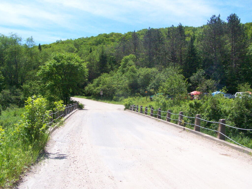
Somerset Road Bridge

Somerset Airfield Campground is a small primitive campground along Forest Road 71. There is a pit-privy and fireplaces in this field camping area. Also popular is Castle Brook Road, near the Deerfield River. This area fills up early, and is known for rowdy crowds but is good if you have a big camper.
November 1, 2016 Morning

Good morning! Today is a nice start to November. Partly sunny and 39 degrees in Cicero, NY. There is a east-southeast breeze at 7 mph. Hopefully this weather will last, but alas November is the cloudiest month of the year in Upstate New York, and a lot of cloudy days are ahead on the calendar. Rain is quite likely for the weekend with lots of clouds. The good news is it’s not snow.

Today is going to mostly sunny with a high of 59 degrees at 3pm. Five degrees above normal. Maximum dew point of 43 at 5pm. South wind 7 to 13 mph. Last year, mostly cloudy with a high around 62. The record high of 78 was set in 1950. There was 3.9 inches of snow back in 1951.

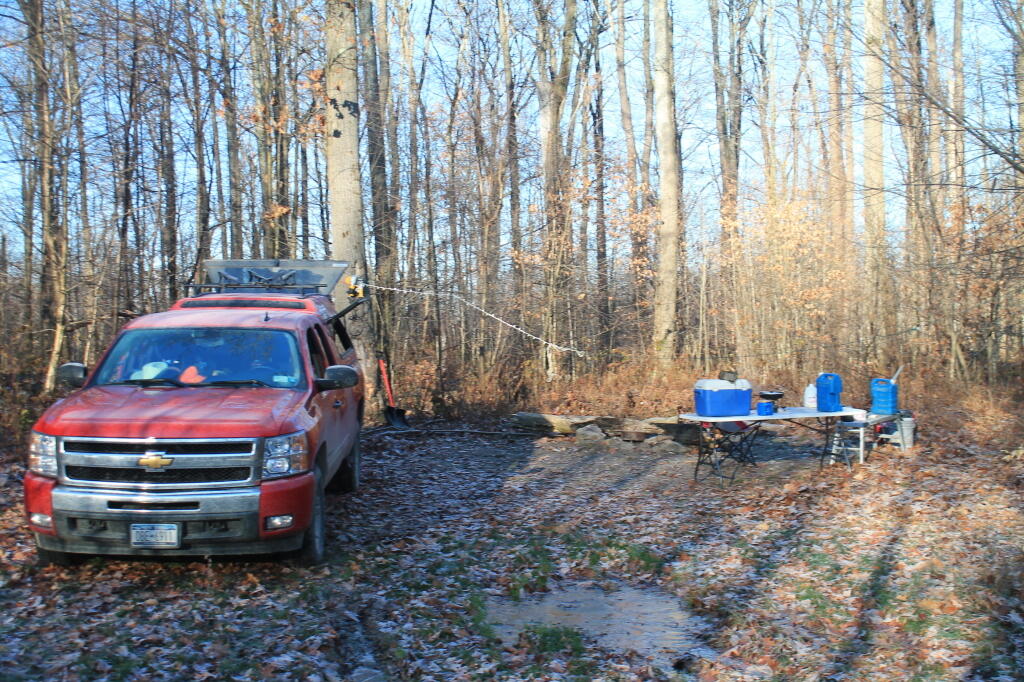
Dropped Big Red off to have new brakes put on and tires rotated. I was on the fence about the brakes, but I wanted them done before I go on vacation next week. They had some life left on them, but as the shop noted and visual inspection also concluded, the pads are almost down to the wear indicators. While I’m in North Syracuse, I’d rather have my truck worked on rather then breaking down on vacation due to worn brakes.

I’ve waited too long on the brakesΒ  in the past, and then it gets a lot more expensive. Brakes really are a simple job, and while they’ll charge an arm and leg to do it, I’d rather just leave the experts do it rather then bugger up theΒ  bolts or break hardware. A shop can do it while I work, or I can I can waste a morning in the cold freeing up stuck bolts, and possibly messing up the brakes. I’ve wrecked many a vacation trip with brake worries or problems.

I’ll top off the oil and windshield washer fluid and should be ready for vacation. I’m thinking Western NY and Pennsylvania this year. I was going to go to West Virgina and Blue Ridge Parkway, but it seems like most of the campgrounds are closed this time of year down that way, and the days are so darn short. I have a list of some little known state forests I think I want to visit in Western NY this year. I have my New York hunting license, so I might put it use while I’m out there. All the equipment should be working well on my truck including the batteries and electric, and it should be a good trip. I will bring the Big Buddy Heater to keep warm, especially around the fire. I am looking forward to getting out.

Thinking that Black Friday is only three weeks from Friday, and my old laptop is chugging along quite well now that I have access to my files. That way I can get the Christmas specials. I’m still really liking that Lenovo Ideapad R14 I saw at the store but with the SSD drive for $620 that Staples had on sale last week. The touch screen and tablet mode would be ideal for making up maps. I love the 1920×1080 resolution too — it just gives a lot more room for map making on screen with all the toolbars I use. But I ain’t paying the $750-800 for it when it recently was on sale for much less.

I haven’t set up the new version of QGIS on my old laptop, but I have enough maps in reserve on my blog that I don’t really need to make up ones. I guess I could install QGIS so I could make up some Google Maps in particular. I’ll be on vacation through the start of deer season, which this falls the weekend before Thanksgiving — so I won’t really need a laptop. Southern Zone deer season is early compared to Election Day but that’s because Election Day is late, and Thanksgiving is early because December 1st is a Thursday.

I drove to the sketchy North Syracuse Chinese Restaurant in my jacked up pickup truck last night. The food was sketchy. But I tried it. I’ve been wondering for a long time if it was as bad as it looked. It is. Overpriced too. I actually liked the Chinese food I got in Canastota. That place was more sketchy than North Syracuse. You never know what hick town Chinese places are like until you try them. Hick towns can be fun places.

As we head into November, days are rapidly getting shorter. The sunset is earlier, but it will be much earlier come next Sunday. Look for a sunset at 5:55 pm with dusk around 6:24 pm, which is 1 minutes and 18 seconds earlier than yesterday. On Sunday, with the time change, the sun will set at 4:48 pm. I hate commuting home in the dark on the express bus this time of year. It’s so dark in Glenmont on the Delmar Bypass. Today will have 10 hours and 14 minutes of daylight, a decrease of 2 minutes and 35 seconds over yesterday.

Tonight will have a slight chance of showers between 9pm and midnight. More clouds as the evening progresses. Low of 51 degrees at 3am. 16 degrees above normal. Maximum dew point of 49 at 6am. Southeast wind 6 to 10 mph. Chance of precipitation is 20%. One year ago, partly cloudy with aΒ  low around 39. The record low of 19 occurred back in 2002.

We are now one week out fromΒ  Election Day when the sun will be setting at 4:46 pm with dusk at 5:16 pm (Standard Time). The average high temperature is 51 degrees, with a record high of 75 in 1975. There are 6 days, 12 hours and 21 minutes until the polls close in NY State on Election Day.

July 6, 2015 evening

This evening is 75 degrees with a muggy dewpoint of 64 degrees. When I got out of work, it was much cooler with the dewpoint only about 59 degrees but it had crept up noticeably around the 9 o’clock hour. Clear skies with fireflies around and stars above. Crickets are making their noise.

Tommorow will be the warmest day in a while with temperatures in the mid-80s and a dewpoint expected to reach 71. It’s going to be muggy with only thunderstorms and downpours to break the heat.

While I was cooking I started playing with some new GIS campsite data I got from the DEC. I discovered my laptop had automatically upgraded to QGIS 2.10 which has all kinds of new features, including being able to finally place latitude and longitude lines on a UTM map. A much needed features, especially if you’re trying to make professional quality maps. QGIS isn’t perfect or able to make maps quite as nice as the professional software but it’s still free as is the data I use. I wish they would more to deal with colliding icons but other than that, it’s finally gotten much better. Those programmers that volunteer so much time on perfecting it, really deserve a lot of acclaim.

With the new DEC data I will need to re-run the script I use to make the county Waypoints and Tracks. It’s pretty simple task to do, but it does take the computer like new hour to fully run the script. Hopefully this week.

Learning QGIS has had a lot of benefits including helping me learn where many of the campsites are along the back roads of the state forests. But beyond that I’ve learned a great variety of mapping skills and knowledge, including using Census data for mapping and a basic understanding of the redistricting process, and how to build districts out of census blocks. I have no formal training but I can do some pretty amazing stuff with QGIS. Still there is a lot to learn but the Internet often has good answers with a quick Google search. Maybe at some point I can turn my knowledge into a career, or at least make my self more marketable. I’d love to move to a laid-back small town in a less strict state and live out in the country off-grid at some point.

Kind of wish I got out to the park this evening but I totally lost track of time. It’s fine, as the days will remain long for a while and we are certain to have more nice evenings before the short days of fall are upon us. If I go up to Powley Place this weekend, reading will be part of the agenda. Best to enjoy summer before it’s gone.

I guess that’s all I have to say for tonight.  I’m off to bed. Everybody sleep well, tommorow is going to be a hot one.

My Evolving Views on Fracking

A few years ago, I was pretty supportive of fracking in New York State. I thought it would be good for the Southern Tier and Western NY, as there is already a fair bit of historical natural gas production in that part of state.

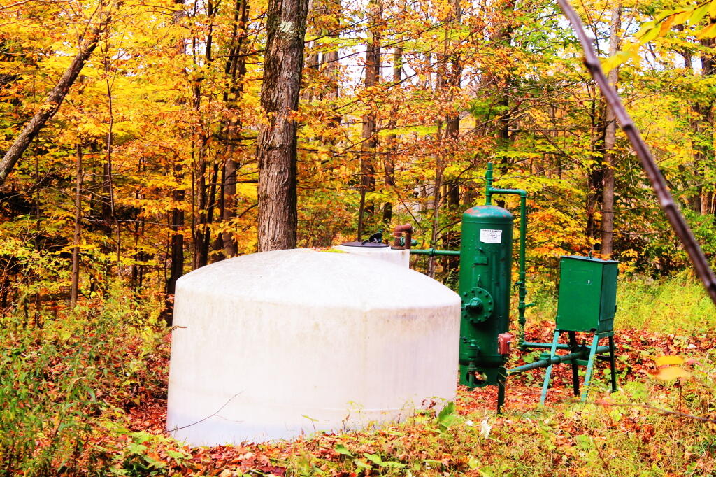
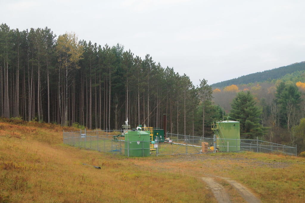
Natural Gas Well

I always viewed the anti-frackers as being the same group of extreme lefties who decided they had to ban open burning on farms and rural locations to save the environment from rednecks burning a little bit of plastic in a fire. Or the same people who decided the entire state land holding in the Adirondacks could not ever be used for responsible timber production, like is common in our national and state forests. Or those at war on ATVs, snowmobiles, and even back-country campsites and trails. In other words, environmentalists who are opposed to fracking are generally bad people.

Circa 2006 Natural Gas Well

Over time claims that I once saw as best distorting the truth, are proving themselves somewhat true. Accidents happen and as you scale up, there is a potential for accidents get worst. Conventional natural gas production is not unlike the high volume horizontal wells, much like a convenience store is much like Super-Walmart. Much of the products and methods are the same but the scale is much larger than conventional processes. Bigger means bigger risk.


View Larger Map


View Larger Map

Is it more dangerous or polluting than conventional wells? It depends how you look at it. Natural resource extraction, to a certain degree, is always polluting, although pollution can be controlled. Areas with a lot of natural gas drilling underway tend to be busy with heavy truck traffic and big construction equipment, which can certainly bring in a lot of pollution, at least temporarily. Even modern big-rig diesels can be pretty polluting, and many of the equipment is older and dirtier from the era before strong diesel emission regulations.

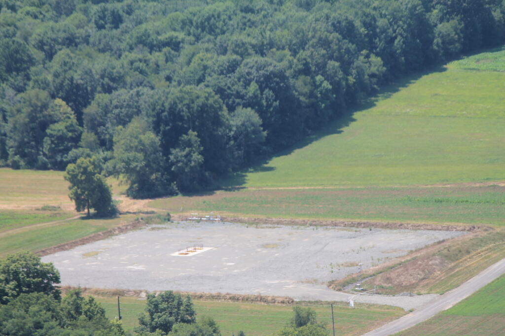
Another View of Well Pad

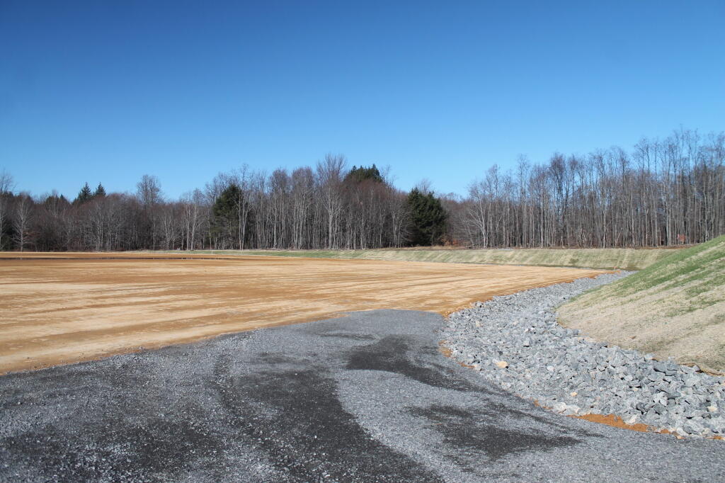
I measured some of the the high-volume fracked wells in Pennsylvania to conventional natural gas wells in New York on Google Maps. The footprint was in some cases 2-3 times larger, but in other cases about the same as a New York State Black River-Trenton formation well. Regardless, any drilling campaign uses some farmland and forest, and cumulative impacts have to evaluated to the environment, even if eventually the wells will be plugged and recovered when they run out of gas.

I also think some of the water pollution and methane contamination complaints are legitimate. As was cynical at first about such notions, and I am sure the anti-fracking activists tried to milk out every little accident and problem, but there are issues and accidents that need to be considered, especially when scaling things up. We need regulations that protect people’s water and ensure that any impacts on the land are temporary inconveniences not long-term headaches.

Edge of Marcellus Well Pad

I believe in keeping an open mind. I still prefer strong regulation over an outright ban, but we will see where this evolves. Many will argue that fracking should be banned be banned in our state. New York State created the Forest Preserve many years ago, and while controversial, wasn’t the great disaster that some people proposed. It’s something to watch.

New York, as an urban state, will never be energy self-sufficient, but we could do better if we could manage our natural resources better.

While I am still not opposed to oil and gas production in NY State, I can see where the winds blow and realize like any policy choice there are pros-and-cons.

Camping on McCarthy Hill Road

Last November, I spent two rather cold nights right before southern zone hunting season camping on McCarthy Hill Road near Ellicotville in CattaraugusΒ County. Located about 1/2 mile from Little Rock City, a popular place for hiking and exploring various “buildings” which are actually just very large, square rocks, left from the glaciers.

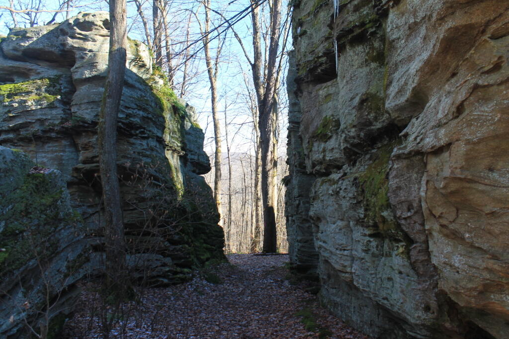
Exploring Rock City

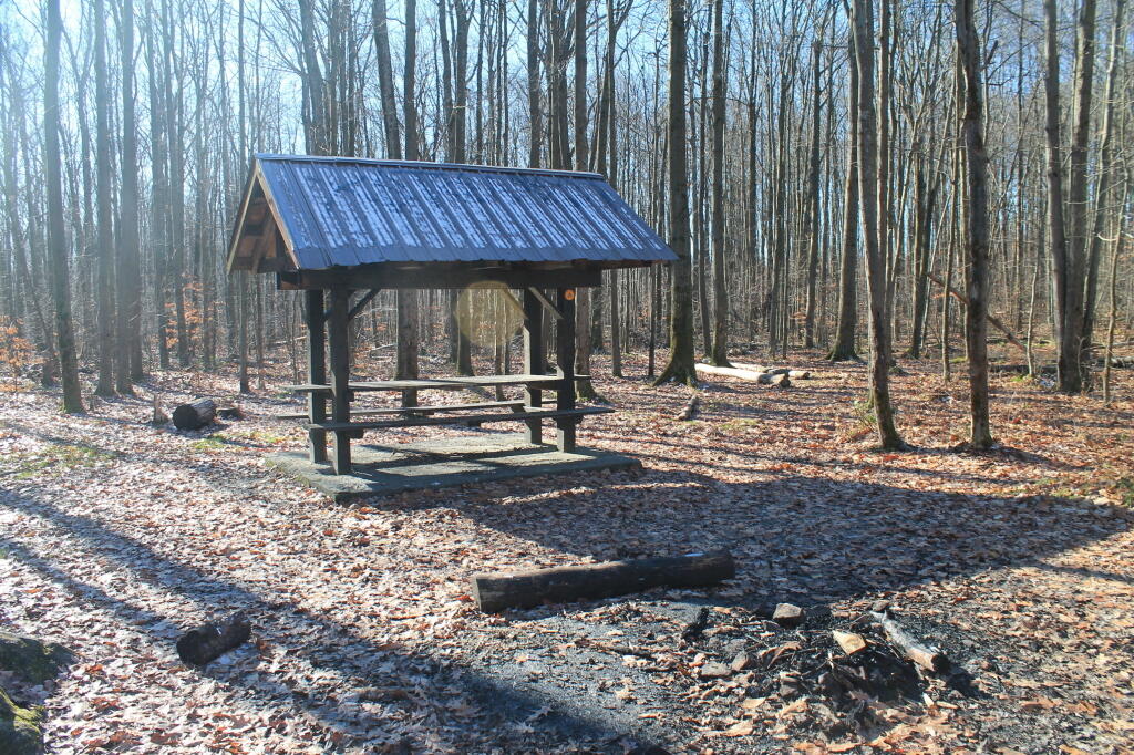
The campsites near Little Rock City have little pavilions.

Tent Camping Pavlion

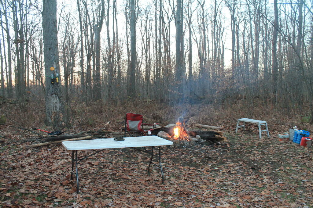
The campsites along McCarthy Hill Road are simple roadside sites, with little more then stone campfire rings and a “Camp Here” sign nailed to the trees.

Final Campfire

Up here, you are camping on a mountain, or at least a fairly large hill, so it’s pretty cold especially on the first day of southern zoning hunting season.

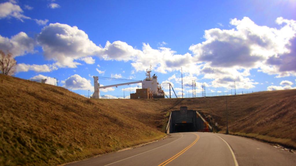
Have you ever driven under a 28,500 ton Seawaymax ship?

But some nice warm coffee can help things out a lot, even when the themometer in your pickup truck says it’s only 19 degrees. Plus a good breakfast made on the campstove.

19 degree at Camp

15 miles to the south is Allegany State Park. 40 miles will get you to the Allegheny National Forest in Pennsylvania. Likewise, Jamestown is about 40 miles to the west. I’ve heard it’s popular in the summer. 15 miles to the north is Zoar Valley Unique Area, a great gorge where the Cattaragus Creek runs, and 50 miles northeast is Letchworth State Park.


View Larger Map

There is good cell service and 4G wireless internet service. Bring your own electricity.

Here’s a map.

What Does Natural Gas Drilling Look Like in NYS?

Here is an overview map of active (“producing”) gas wells in Chautuauqua County. I would have made a map up of the whole state, however Google Maps is currently limited in the number of points it can have plotted, so I did a join against the county lines of Chautuauqua County, by far the largest oil and gas producer in NY State.

Google Maps, zoomed into the Town of Ellery, showing producing gas wells, allows one to see how they are all over. Play around, zoom into individual well pads to see what a working one looks like up close.

Here is a Google Map Zoomed in further onto “Ulrich 2” Natural Gas Well, showing the access road, condensate tank, and well pad for a newer well.

Oil and Gas Wells on State Forests.

Last month, I did an fodder essay with List and Google Map of Gas Wells on NY State Forests.

Gas Well Overview and Printable Maps.

I have done many more printable maps of gas wells in NY State.

Here is an overview of all producing natural gas wells in the state, with each tiny dot on this state-wide map representing a producing gas well. There are over 6,600 dots plotted on this map.

 Breeze

A map from the Finger Lakes Region.

Winona Recreation Area

The Winona Recreation Area, aka the Winona and Jefferson State Forests has a series of informal campsites throughout it’s miles and truck trails, that are also used by ATVs and snowmobiles based on the time of the year. Known for the large amount of snow the area gets, it’s one of the most vast state parcels in the Tug Hill Plateau.

In the past I’ve camped on an undesignated site with a firepit on Bargby Road. There are other sites around, but I don’t know the area that well, and the sites ar not listed online. You might consider contacting the local Forest Ranger about getting a permit and some other ideas.

Be careful driving around here, as many of the truck trails are very rough and muddy, and you will be sharing them with ATVs in the summer season. They are real fun if you want to get some mud on your pickup truck. It’s by far one of the best places to find rough and muddy state truck trails in NY State, and tons of snow in the winter. I camped there in April 2004 (no snow), but it was cold. β€” Andy

“Over the past years, many different groups have enjoyed the use of these trails, but this has made for some difficulty in how to designate which trails would be used and for what purpose. The Western Edge Recreational Association was developed around 1995 to bring together all the users: skiers, snowmobilers, dog sledders, horse owners, hunters, bikers, and orienteering people.”

“With the melding of ideas, resources and manpower, Winona State Forest has become one of New York State’s best venues for recreation, and at the same time, provides valuable timber resources.”

“In 2005, DEC began developing a unit management plan (UMP) for Winona State Forest. A UMP must be completed before significant new recreational facilities, such as trails, camping sites, and parking areas can be constructed. The plans involve an extensive analysis of the natural features of an area and the ability of the land to accommodate public use. The DEC has primary responsibility for developing management plans for the State-owned lands. Draft plans are widely distributed for public comment and review prior to being finalized by DEC.”

β€” NYSDEC Winona State Forest.

“The Winona Forest Recreation Association (WFRA) maintains approximately 70 miles of trails in the Winona Forest and Jefferson County Forest Preserve. Both are located in the Tug Hill region of New York State. WFRA, which began as the Tug Hill Ski Club, has reorganized as the Winona Forest Recreation Association in order to include all user groups of the forest. WFRA membership consists of skiers, snowmobilers, atv riders, equestrians, mushers,snowshoers, bikers, hikers and many other outdoor sports enthusiasts. We’re not just an ordinary club!

“Winona Forest is one of the snowiest places east of the Rockies with an average snow fall of 250 inches per year! In winter, the prevailing westerly winds move cold winter air over the warm water of Lake Ontario producing massive lake effect snow falls on the Winona Forest in the Tug Hill area.”

β€” Winona Forest Recreation Association.

Barby Road 2
Tucker Road 1

Summer afternoon