Current Arcade GeoPDF Map
 |
1966 Map No. 136682, 1966 Map No. 136683 |
NA |
Arcade (57%), Freedom (12%), Holland (7%), Java (12%), Sardinia (19%), Yorkshire (14%) |
Current Ashford GeoPDF Map
 |
1964 Map No. 136703 |
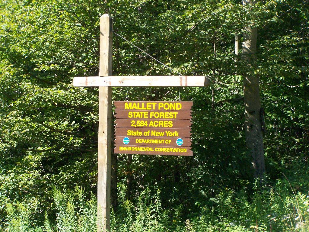
Boyce Hill State Forest, Bryant Hill State Forest, Golden Hill State Forest |
Ellicottville (37%), Franklinville (50%), Great Valley (3%), Humphrey (9%), Machias (19%) |
Current Ashford Hollow GeoPDF Map
 |
1964 Map No. 136700, 1964 Map No. 136701, 1964 Map No. 136702, 1964 Map No. 710169 |
NA |
Ashford (64%), Concord (9%), East Otto (36%), Ellicottville (2%) |
Current Bliss GeoPDF Map
 |
1966 Map No. 123318, 1966 Map No. 123319 |
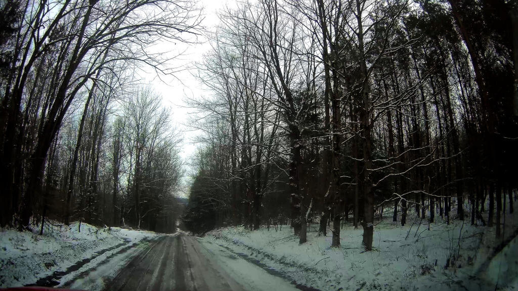
Lost Nation State Forest |
Arcade (43%), Centerville (13%), Eagle (50%), Freedom (12%), Java (9%), Wethersfield (10%) |
Current Cattaraugus GeoPDF Map
 |
1963 Map No. 122868, 1963 Map No. 122869, 1963 Map No. 137161 |
Mansfield Creek Fishing Access, Cattaraugus State Forest, Dobbins Memorial State Forest |
East Otto (8%), Little Valley (8%), Mansfield (59%), Napoli (5%), New Albion (42%), Otto (27%), Persia (1%) |
Current Cherry Creek GeoPDF Map
 |
1954 Map No. 122963, 1954 Map No. 122964, 1954 Map No. 137172 |
NA |
Cherry Creek (55%), Conewango (6%), Dayton (16%), Ellington (7%), Leon (52%), Villenova (17%) |
Current Collins Center GeoPDF Map
 |
1963 Map No. 137682, 1963 Map No. 137683, 1963 Map No. 137684 |
Cattaraugus Creek Waterway Access, Zoar Valley Multiple Use Area, Zoar Valley Unique Area, East Otto State Forest |
Collins (35%), Concord (5%), East Otto (37%), Otto (61%) |
Current Cuba GeoPDF Map
 |
1961 Map No. 137759, 1961 Map No. 137760, 1961 Map No. 137761, 1961 Map No. 137762 |
NA |
Clarksville (28%), Cuba (43%), Hinsdale (48%), Ischua (28%), Oil Springs Reservation (100%), Oil Springs Reservation (100%), Portville (3%) |
Current Delevan GeoPDF Map
 |
1963 Map No. 137977, 1963 Map No. 137978, 1963 Map No. 137979 |
Lime Lake Outlet Fishing Access, Bush Hill State Forest, Harwood Lake Mua |
Farmersville (41%), Freedom (39%), Machias (23%), Yorkshire (28%) |
Current Ellicottville GeoPDF Map
 |
1964 Map No. 138205, 1964 Map No. 138206 |
Poverty Hill WMA, Dobbins Memorial State Forest, Mccarty Hill State Forest |
East Otto (19%), Ellicottville (59%), Great Valley (5%), Little Valley (6%), Mansfield (41%) |
Current Farnham GeoPDF Map
 |
1960 Map No. 138142, 1960 Map No. 138143 |
NA |
Brant (61%), Cattaraugus Reservation (54%), Cattaraugus Reservation (49%), Cattaraugus Reservation (100%), Evans (13%), Hanover (20%), Perrysburg (17%) |
Current Franklinville GeoPDF Map
 |
1963 Map No. 138165, 1963 Map No. 138166 |
Ischua Creek Fishing Access, Bear Creek State Forest, Bush Hill State Forest, Golden Hill State Forest |
Farmersville (17%), Franklinville (50%), Humphrey (4%), Ischua (11%), Lyndon (39%), Machias (8%) |
Current Freedom GeoPDF Map
 |
1963 Map No. 137211, 1963 Map No. 137212, 1963 Map No. 138173 |
Lost Nation State Forest, Bush Hill State Forest, Farmersville State Forest, Harwood Lake Mua |
Centerville (37%), Farmersville (30%), Freedom (37%), Rushford (35%) |
Current Gowanda GeoPDF Map
 |
1963 Map No. 129589, 1963 Map No. 129590 |
Zoar Valley Multiple Use Area, Zoar Valley Unique Area |
Cattaraugus Reservation (39%), Cattaraugus Reservation (8%), Collins (25%), Dayton (33%), Otto (11%), Perrysburg (30%), Persia (69%) |
Current Hinsdale GeoPDF Map
 |
1961 Map No. 129865, 1971 Map No. 129864, 1979 Map No. 129863 |
NA |
Allegany (9%), Hinsdale (52%), Humphrey (27%), Ischua (53%), Olean (5%), Portville (1%) |
Current Humphrey GeoPDF Map
 |
1961 Map No. 129943, 1961 Map No. 129944, 1961 Map No. 129945, 1961 Map No. 137268 |
Nine Mile Creek State Forest, Raecher Hill State Forest, Golden Hill State Forest, Windfall Creek State Forest |
Allegany (19%), Carrollton (0%), Great Valley (38%), Humphrey (60%) |
Current Ivory GeoPDF Map
 |
1954 Map No. 129956, 1954 Map No. 129957, 1954 Map No. 129958, 1954 Map No. 137278 |
South Valley State Forest |
Carroll (60%), Poland (24%), Randolph (23%), South Valley (50%) |
Current Kennedy GeoPDF Map
 |
1954 Map No. 130016, 1954 Map No. 130017, 1954 Map No. 130019, 1979 Map No. 130018 |
Harris Hill State Forest, Conewango Swamp WMA |
Conewango (45%), Ellington (48%), Poland (31%), Randolph (28%) |
Current Knapp Creek GeoPDF Map
 |
1961 Map No. 130138, 1961 Map No. 130139, 1979 Map No. 130140 |
Nine Mile Creek State Forest, Birch Run Ponds Fwma |
Allegany Reservation (9%), Allegany (49%), Carrollton (39%) |
Current Limestone GeoPDF Map
 |
1961 Map No. 130267, 1961 Map No. 130268, 1961 Map No. 137359, 1961 Map No. 137360 |
Windfall Creek State Forest |
Allegany Reservation (15%), Carrollton (60%), Red House (43%) |
Current Little Valley GeoPDF Map
 |
1962 Map No. 130285, 1962 Map No. 130286, 1962 Map No. 130287, 1962 Map No. 130288, 1962 Map No. 137364 |
Bucktooth State Forest, Elkdale State Forest |
Allegany Reservation (13%), Coldspring (16%), Little Valley (50%), Napoli (37%), Red House (2%), Salamanca city (9%), Salamanca (60%) |
Current New Albion GeoPDF Map
 |
1963 Map No. 130784, 1963 Map No. 137402 |
Conewango Creek Waterway Access |
Conewango (6%), Dayton (15%), Leon (48%), Napoli (7%), New Albion (58%), Otto (1%), Persia (30%) |
Current North Collins GeoPDF Map
 |
1960 Map No. 128742, 1960 Map No. 128743 |
NA |
Brant (39%), Cattaraugus Reservation (7%), Cattaraugus Reservation (41%), Collins (17%), Eden (10%), Evans (8%), North Collins (43%), Perrysburg (4%) |
Current Olean GeoPDF Map
 |
1961 Map No. 128897, 1961 Map No. 128898, 1961 Map No. 128899 |
NA |
Allegany (23%), Olean city (100%), Olean (95%), Portville (14%) |
Current Perrysburg GeoPDF Map
 |
1954 Map No. 128964, 1954 Map No. 128965, 1954 Map No. 128966, 1954 Map No. 136790 |
NA |
Dayton (36%), Hanover (29%), Perrysburg (49%), Villenova (38%) |
Current Portville GeoPDF Map
 |
1961 Map No. 129134, 1961 Map No. 129135, 1961 Map No. 136828 |
NA |
Clarksville (22%), Genesee (50%), Portville (82%) |
Current Randolph GeoPDF Map
 |
1962 Map No. 136010, 1962 Map No. 136011 |
Randolph Fish Hatchery, Conewango Swamp WMA |
Allegany Reservation (1%), Coldspring (21%), Conewango (43%), Napoli (51%), Randolph (27%) |
Current Rawson GeoPDF Map
 |
1963 Map No. 136027, 1963 Map No. 136028 |
Crab Hollow State Forest, Bush Hill State Forest, Hanging Bog WMA |
Cuba (6%), Farmersville (13%), Ischua (8%), Lyndon (61%), New Hudson (50%), Rushford (15%) |
Current Red House GeoPDF Map
 |
1962 Map No. 136036, 1962 Map No. 136037, 1962 Map No. 136852, 1962 Map No. 136853 |
NA |
Allegany Reservation (21%), Coldspring (33%), Red House (54%) |
Current Salamanca GeoPDF Map
 |
1961 Map No. 129323, 1961 Map No. 129324, 1961 Map No. 129325 |
Mccarty Hill State Forest, Rock City State Forest, Windfall Creek State Forest |
Allegany Reservation (9%), Carrollton (0%), Great Valley (54%), Little Valley (35%), Red House (1%), Salamanca city (91%), Salamanca (40%) |
Current Sardinia GeoPDF Map
 |
1957 Map No. 129402, 1957 Map No. 129403, 1957 Map No. 136888 |
Cattaraugus Creek Fishing Access Parking |
Ashford (2%), Colden (8%), Holland (15%), Sardinia (80%), Yorkshire (14%) |
Current Steamburg GeoPDF Map
 |
1962 Map No. 139892, 1962 Map No. 139893, 1962 Map No. 139894 |
Pine Hill State Forest, South Valley State Forest |
Allegany Reservation (31%), Coldspring (30%), Randolph (22%), South Valley (50%) |
Current West Valley GeoPDF Map
 |
1964 Map No. 140223, 1964 Map No. 140224 |
NA |
Ashford (34%), Ellicottville (2%), Machias (50%), Yorkshire (44%) |