Search Results for: West River Road

Natural Gas Tanker Truck Crashes, Driver Injured, I-88 Shut Down – The Mountain Eagle

Natural Gas Tanker Truck Crashes, Driver Injured, I-88 Shut Down – The Mountain Eagle

DUANESBURG - Both sides of I-88 between exits 24 and 25 were closed for at least two days after a serious tractor trailer crash in Duanesburg early Tuesday morning, the New York State Police announced. Drivers were rerouted the rest of the day Tuesday and into Wednesday but the road will "be reopening shortly," Trooper Stephanie O'Neil said on Tuesday.

Trooper O'Neil says the eastbound and westbound lanes were closed between exit 24 and 25 starting at 6a.m. Wednesday morning for continued clean up.

New York State Police responded to reports of a box truck off the road on I-88 at 2:52 a.m. Tuesday.

Police said the box truck "exited the road and traveled down a steep ravine." The box truck was carrying multiple cylinders containing compressed natural gas, which led to a hazmat response and a safety perimeter establishment, according to police, which accounts for both sides of the roadway being shut down.

Last full day in West Virginia

Don’t delay, time is limited! So it would seem as tomorrow at this point I’ll be heading back north again. Days go by too quickly it seems.

Good morning! Already Friday! Emotions are very different on vacation then when doing the work week thing. Mostly cloudy and 53 degrees in Canaan Heights, West Virginia. There is a southwest breeze at 12 mph. πŸƒ. This morning reminds me of a cool summer morning.

I am not as sore as I expected this morning from riding Canyon Ridge Jeep Trail πŸš™ on my mountain bike 🚡 yesterday. That road was so rough! And I was going relatively fast as time was going by so quickly with dusk πŸŒ† approaching.

Yesterday was a fun but busy one. 🚡 Rode the old rail line 7 miles and 1,110 ft deep into the Blackwater River Gorge from Coketon outside of Thomas, then mostly carried my mountain bike over several waterfalls and cliff edges up the 4 ½ miles 🚢 to Canyon Road Jeep Trail via Limerock Trail, a badly eroded old logging road.

Had a bone jarring ride to the Olson Firetower, and even more so on way back to Coketon. πŸ™‡Canyon Road is definitely a jeep trail with several washes, lots of mud wallows and a very rocky surface. Fun on a mountain bike but very bone jarring. Olson Firetower is an 100 ft Aeromotor tower, it’s quite tall as Firetower πŸ—Ό go and has good views from Parsons to Davis to parts of Western Maryland. Made it back to my truck at 6:20 pm a little bit before sunset.

In total, rode 22.6 miles plus carried the bike the 4.5 miles up the Limerock Trail for a total of 27.1 miles for the day. Busy tiring day. πŸ₯± I got tuckered in Tucker County WV!

If I wasn’t so dang muddy and sweaty I thought about getting dinner 🌯 at either Hellbenders Burritos or the Purple CafΓ© but time was getting late and the prior was packed. After stopping at Shop and Save I went back to camp β›Ί and cooked up chicken and vegetables. Maybe today I’ll do Hellbenders if I end up back in Davis.

Today will have a chance of rain showers 🌧️ especially in the morning and otherwise mostly cloudy β›… with a high of 67 degrees at 3pm. 8 degrees above normal, which is similar to a typical day around September 30th. Might see a few breaks of sun. Maximum dew point of 60 at 5pm. Breezy with a southwest wind of 12 to 17 mph. A year ago, we had mostly sunny skies. The high last year was 61 degrees. The record high of 79 was set in 1963. 1.7 inches of snow fell back in 2016.❄

Heading to the Canaan Wildlife Refuge today 🐦 and maybe hike up to the Ridge Trail at Dolly Sods. 🚢 The thing about accessing Dolly Sods from the refuge is it closes at dusk with a risk of getting towed 🚧 so I need to be back to the truck by then. Can’t delay. Some depends on whether it rains. It’s raining a little ways north in Maryland and Southern Pennsylvania. β˜” If it becomes really wet I could see going back to Davis and getting lunch at Hellbenders Burritos 🌯 then spending the afternoon at the Tucker County library πŸ’» looking at an uploading some photos. πŸ“Έ And maybe some of the mountain bike trails in the rain. πŸ˜‚

Solar noon 🌞 is at 12:40 pm with sun having an altitude of 34.7Β° from the due south horizon (-36.2Β° vs. 6/21). A six foot person will cast a 8.7 foot shadow today compared to 2.2 feet on the first day of summer. The golden hour πŸ… starts at 5:17 pm with the sun in the west-southwest (247Β°). πŸ“Έ The sunset is in the west-southwest (253Β°) with the sun dropping below the horizon at 6:25 pm after setting for 3 minutes and 2 seconds with dusk around 6:54 pm, which is one minute and 25 seconds earlier than yesterday. πŸŒ‡ At dusk you’ll see the Full 🌝 Moon in the east (88Β°) at an altitude of 11Β° from the horizon, 230,268 miles away. πŸš€ The best time to look at the stars is after 6:59 pm. At sunset, look for cloudy skies and temperatures around 57 degrees. The dew point will be 60 degrees. There will be a south breeze at 6 mph. Tomorrow will have 10 hours and 32 minutes of daytime, a decrease of 2 minutes and 37 seconds over today.

Tonight will be cloudy ☁️, with a low of 49 degrees at 4am. 12 degrees above normal, which is similar to a typical night around September th. Maximum dew point of 60 at 6pm. South wind around 6 mph. In 2022, we had mostly clear skies in the evening, which became cloudy by the early hours of the morning. It got down to 35 degrees. The record low of 18 occurred back in 1974.

Governor Ronald Reagan in 1964 delivers a speech on behalf of the Republican candidate for president, Barry Goldwater. The speech launches his political career and comes to be known as “A Time for Choosing”. πŸŽ™οΈ Extremism is no vice seems to be the rallying call of both political parties these days probably because all most party candidates fear in gerrymandered districts is primaries. πŸ—³

Tomorrow will have chance of rain. Mostly cloudy, with a high near 64. West wind 8 to 12 mph. 🌧️ Chance of precipitation is 30%. New rainfall amounts less than a tenth of an inch possible. 18 degrees above normal, which is similar to a typical day around September 16th. Maximum dew point of 63 at 11am. South wind 6 to 13 mph becoming northwest in the afternoon. Chance of precipitation is 20%. A year ago, we had mostly sunny skies. The high last year was 55 degrees. The record high of 78 was set in 1971. 2.0 inches of snow fell back in 1952.❄

I’m now thinking πŸ’­ about heading up to Paw Paw tomorrow to check out the Paw Paw Canal Tunnel 🚣 where the C&O Canal goes through a mountain in a tunnel. It’s a bit out of the way – further east than I planned on going but it would replace going to Seneca Rocks which I’ve done a couple of times but was considering alternative trails up that way. There is a National Park campground β›Ί in Paw Paw but despite being an hour closer to home, that still leaves a long trip back to the Albany. That’s why I might explore then head north to County Bridge or Asaph Run campgrounds in northern central Pennsylvania. Asaph Run is right on the Pine Creek Rail Trail so I could ride that Sunday if not too wet.

Looking ahead to Sunday, a chance of showers before 11am, then rain, mainly after 11am. β˜” High near 50. North wind around 6 mph. Chance of precipitation is 90%. New precipitation amounts between a tenth and quarter of an inch possible. Typical average high for the weekend is 57 degrees.

So if I end up at Asaph Run come Sunday, 🚲 the plan is to ride as much of the Trail through the Pine Creek Gorge as time and weather allows. I don’t mind riding in drizzle, I have one set of dry clothes left by then but not pouring rain. β˜” Want to leave by 2 pm so I can be pretty close to home by sunset πŸŒ‡ or at least pitch blackness driving 🚘 in the rain. Maybe stop at Annuto’s in Oneonta and get more apples 🍏, they were good. Doughnuts 🍩 too but I think I’ll skip them this time for health reasons, lol πŸ˜‚.

Looking ahead, there are 4 weeks until Buy Nothing Day πŸ›οΈ when the sun will be setting at 4:27 pm with dusk at 4:57 pm (Standard Time). After all the money πŸ’΅ I’ve spent on vacation, I won’t have any money to buy shit but I might go up to the Adirondacks that weekend to burn Thanksgiving calories πŸ¦ƒ and have a big fire πŸ”₯ and maybe do some hiking. 🚢 On that day in 2022, we had partly sunny and temperatures between 49 and 24 degrees. Typically, the high temperature is 46 degrees. We hit a record high of 70 back in 2014.
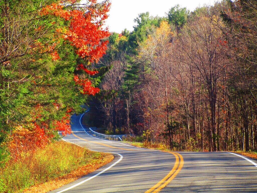
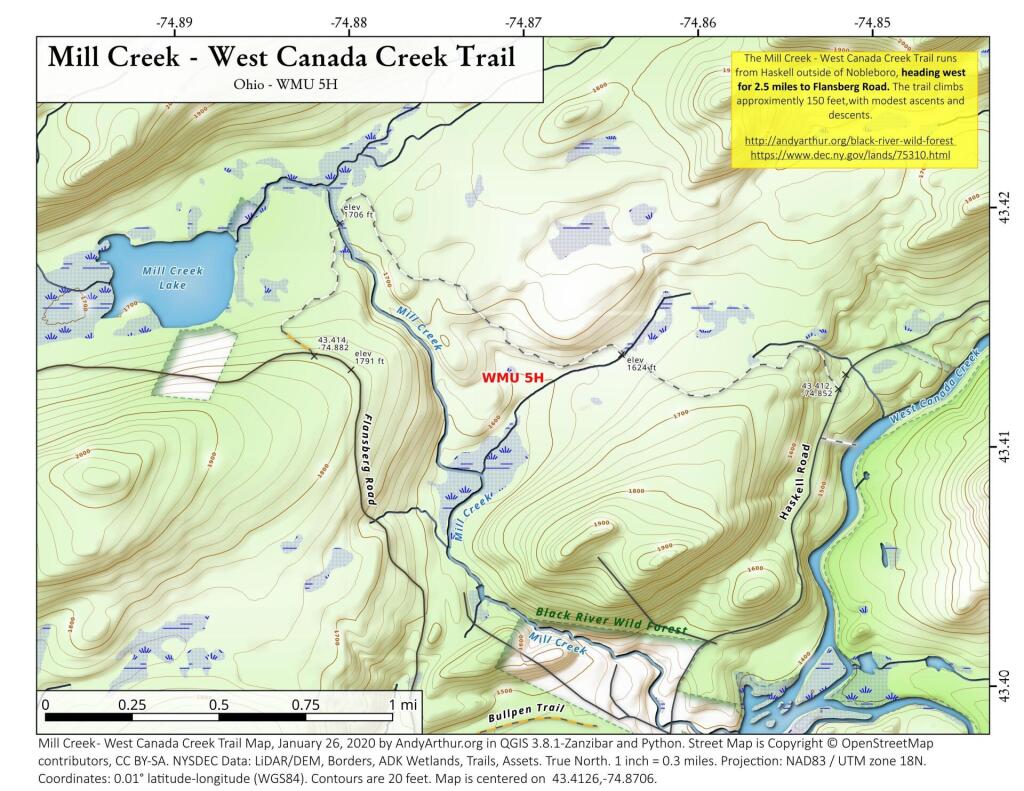
Bend

I didn’t expect to get wet before heading out to Five Rivers 🐸

I mean I probably should have with the summer we’ve had expect rain. Going to clear out later but will be cool for the family clam bake.

Good morning! Happy Sunday. Rain showers and 65 degrees at the Five Rivers Environmental Education Center. β˜” There is a north-northwest breeze at 6 mph. πŸƒ. The dew point is 60 degrees. The skies will clear around noontime.

Woke up early πŸŒ… and to run to the bathroom 🚽 and decided not to go back to sleep. Milled oatmeal down to a fine powder in the food processor and then added one of the fresh apples 🍏 that I got at Yonder Farms and ultimately a banana 🍌 for sweetness and consistency and a bit of water for pancakes πŸ₯ž. Black coffee β˜• and frozen fruit with sugar free syrup made for a good breakfast.

Rode Blackie 🚡 out to Five Rivers Environmental Education Center 🐸 for some nature observation and to get away a bit this morning, though I wasn’t expecting the rain. β˜” Not super wet but unexpected in my mind, I’m hiding our under the pavilion for now. I’ll go for a short walk 🚢 and then head home. Then shower 🚿, get a few groceries at Walmart and clams πŸ¦ͺ at Market 32 πŸ›’ then head out to the folks house by later midday. πŸ•›

Today will have isolated showers before 9am. Partly sunny 🌞, with a high of 76 degrees at 3pm. Five degrees below normal, which is similar to a typical day around September 11th. Maximum dew point of 62 at 11am. North wind around 7 mph. Chance of precipitation is 20%. A year ago, we had cloudy skies in the morning with more sun in the afternoon. It was somewhat humid. The high last year was 81 degrees. The record high of 97 was set in 1948.

Yesterday afternoon at Thacher Park 🏞 was nice, though some of those trails were rougher on the bike 🚲 then expected but I try to be super gentle with Blackie not wanting to break shit but I’m also not afraid to now ride somewhat rougher trails with Blackie but I still prefer gravel. Super muddy after the summer that was. Still want to get to Charles Baker State Forest to ride before the snow 🌨 comes. Not that I probably have much of a worry this winter with El NiΓ±o and I’m not planning on doing much trail riding which closes October 31st, just road riding.

John Wolcott’s funeral is over β›ͺ that chapter is closed. The whole wheat bread I made last night came out pretty good, most of it is now frozen. Last night’s dinner was commercial protein pasta you find in the supermarket with a bunch of spinach and the remaining kale I had plus mackerel for a good boost in the omega 3, healthy fats to help absorb the vitamins that make up the spinach and kale. The fats, protein and fiber fill you up quickly. 🍲

Solar noon 🌞 is at 12:58 pm with sun having an altitude of 57.5Β° from the due south horizon (-13.3Β° vs. 6/21). A six foot person will cast a 3.8 foot shadow today compared to 2.2 feet on the first day of summer. The golden hour πŸ… starts at 7:03 pm with the sun in the west (278Β°). πŸ“Έ The sunset is in the west-northwest (285Β°) with the sun dropping below the horizon at 7:41 pm after setting for 2 minutes and 59 seconds with dusk around 8:08 pm, which is one minute and 39 seconds earlier than yesterday. πŸŒ‡ At dusk you’ll see the Waxing Gibbous πŸŒ” Moon in the south-southeast (151Β°) at an altitude of 15Β° from the horizon, 228,020 miles away. πŸš€ The best time to look at the stars is after 8:45 pm. At sunset, look for mostly clear skies πŸŒ„ and temperatures around 71 degrees. The dew point will be 59 degrees. There will be a north breeze at 6 mph. Today will have 13 hours and 26 minutes of daytime, a decrease of 2 minutes and 44 seconds over yesterday.

Tonight will be partly cloudy πŸŒƒ with a low of 56 degrees at 6am. Three degrees below normal, which is similar to a typical night around September 6th. Maximum dew point of 60 at 6pm. North wind around 5 mph becoming calm in the evening. In 2022, we had clear skies in the evening, which became cloudy by the early hours of the morning. It became humid as the night progressed. It got down to 59 degrees. The record low of 42 occurred back in 1982.

Now that I made bread with yeast 🍞, I’m interested in doing baking using baking powder or baking soda for those times I don’t want to mess with kneading or waiting 24 hours for the bread to rise. That’s more kind of for making biscuits but they can be a source of healthy carbs too if you limit the unhealthy fats by using olive oil or ghee and don’t use sugar. Also I was playing with my food processor this morning and will just dry oatmeal seems to do a decent job of milling whole grain oatmeal down to oat flour – and not just pancakes. πŸͺ

Today in 1859, Petroleum is discovered in Titusville, Pennsylvania leading to the world’s first commercially successful oil well. πŸ›’ To this day, that town still smells like petroleum, and it floats in the creeks, but they produce much less oil today then at the peak around the turn of the century. Exploring the Oil Creek State Park is fun as is Pithole abandoned oil town but do expect a strong petroleum smell. πŸ‘ƒ But then again, Western PA smells like petroleum like the Black River Valley smells like cattle and manure. Just part of the country.

Looking ahead but maybe not forward to dark mornings walked or risen, there are 2 weeks until 6:30 Sunrise πŸŒ‡ when the sun will be setting at 7:16 pm with dusk at 7:43 pm. On that day in 2022, we had mostly sunny, patches of fog and temperatures between 83 and 56 degrees. Typically, the high temperature is 77 degrees. We hit a record high of 96 back in 1931.

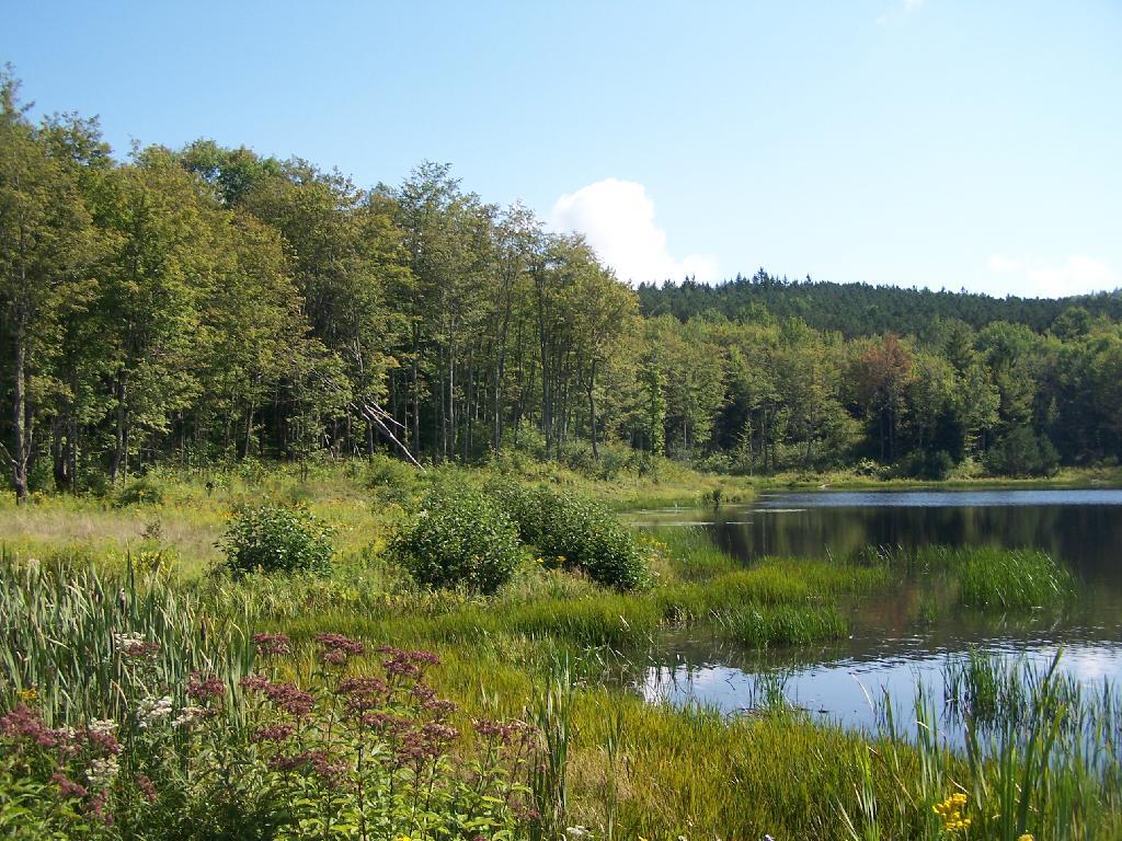
Mallet Pond

West Virginia compared to Upstate NY

People often inquire about the comparisons between West Virginia and Upstate New York. In reality, there aren’t significant differences when you take everything into account.

A large portion of Northern West Virginia’s terrain, particularly in the Monongahela and George Washington National Forest regions, shares many similarities with the Green Mountains, especially the eastern part of the Lake Champlain Valley. The landscape is broken up by moderately tall mountains with narrow river-carved passages. However, the ridges in West Virginia are notably steeper than those in the Green Mountains, and the roads that ascend them are much more winding.

These winding roads, consisting of both dirt and blacktop, traverse the mountains. The valleys in West Virginia remind me a lot of certain parts of the Green Mountains – they have fertile valleys, steep hills, and encompassing mountain ranges. Some peaks even closely resemble the Green Mountains. In some aspects, this region brings to mind Cattaraugus County, with its scattered hills and valleys.

A noticeable distinction is that the valleys in West Virginia are marked by chicken and turkey farms, with minimal beef and nearly no dairy farming in this area of the state. The lack of milk processing plants and the presence of a large frozen chicken processor in Moorefield contribute to this difference. The chicken farms are similar in function to dairies but differ in appearance, often featuring long steel barns instead of the traditional red ones. Corn, widely planted in these valleys, is processed on-farm into chicken feed. Turkey farms follow a similar pattern, though their barns are typically one-story and more open than those for chickens. While the chicken barns didn’t emit any noticeable odor at this time of year, the turkey farms had an earthy, slightly pungent smell, though nothing akin to the aroma of dairy farms.

Heading further into the uplands, you’ll mainly find hunting camps and vacation homes. To the north of the forest lies coal-rich land marked by strip mines that supply the hungry Mount Storm Coal Plant. Rural homes dot the area, including farms and timberlands leased to hunters for coal-related activities.

The accents in northern West Virginia aren’t overly pronounced. They lean more towards Appalachian in nature, similar to what you might encounter in the rural parts of eastern New York State. Hunting is a common activity, as small game season for squirrels and rabbits is currently open. In essence, there’s not much that deviates from the landscape and people you’re familiar with in Upstate New York.

All in all, for a New Yorker, particularly one hailing from Upstate New York with ample exposure to rural areas, the differences between the landscapes and the people won’t be substantial.

Thinking about this summer camping in Western Adirondacks / Black River Valley πŸ•

Thinking about this summer camping in Western Adirondacks / Black River Valley πŸ•

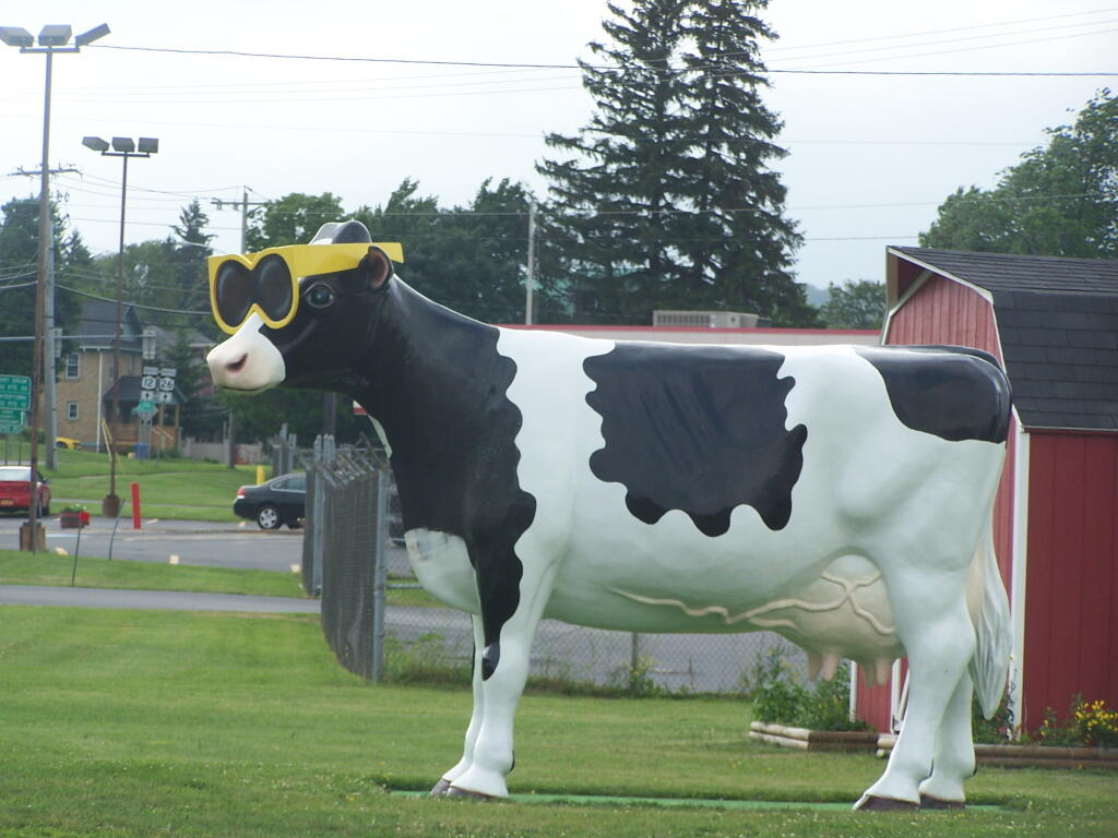
Cow with Sunglasses (Up Closer)

It’s been about ten years since I’ve been up that way for a week in summer, and I’m tired of the Finger Lakes. I’ve done them for over a decade, and while it’s nice that you can set up camp for a full week on the National Forest, it has gotten tiresome doing it every year.

Some things I would like to do this year:

  • Explore more of Confusion Flats-area, especially hike the flats and the many horse trails
  • Hike to the Woodhull Fire Tower
  • Hike to Stillwater Fire Tower
  • Visit the Frank Jadwin State Forest and Greenwood Creek Forest north of Lowville
  • Paddle parts of the Beaver River
  • Visit Lake Bonaparte

Exploring Francis Lake in 2011 up in Number 4 near …

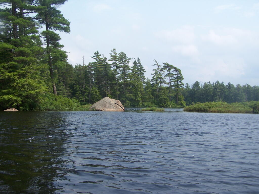
In a Calmer Bay of Francis Lake

Spend more time poking around Whetstone State Park and paddling the reservoir …

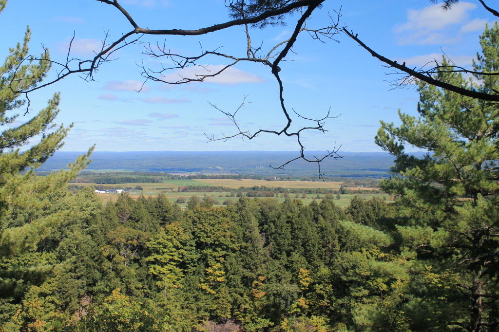
 View From Whestone Observation Deck

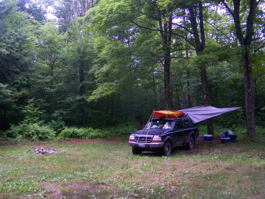
Camping on Smith Road in 2011 …

Rainy Morning

Exploring Confusion Flats in 2015 …

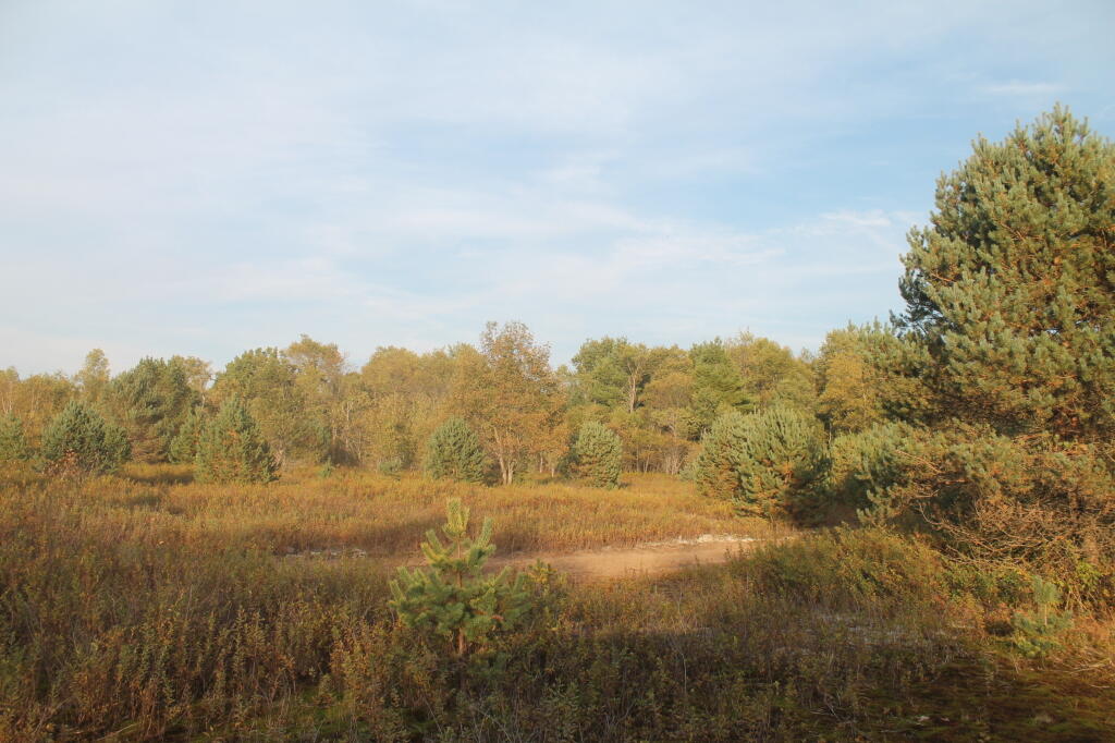
Looking Out Into Confusion Flats

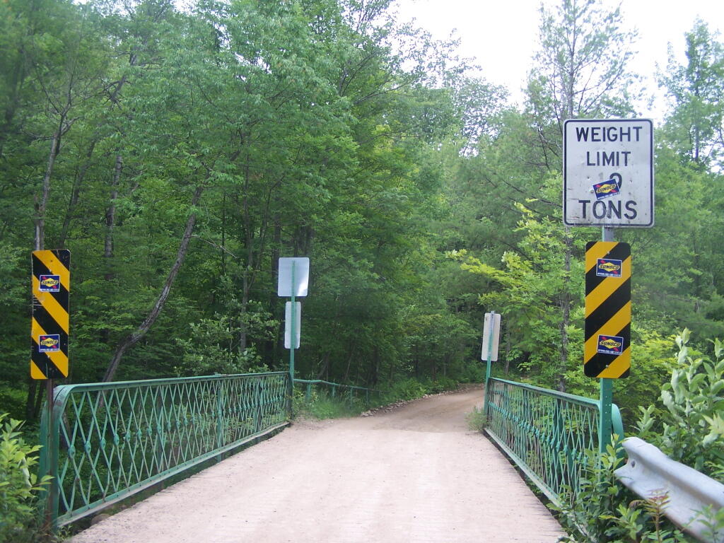
Eatonville Bridge in 2011 …

Otter Creek Bridge

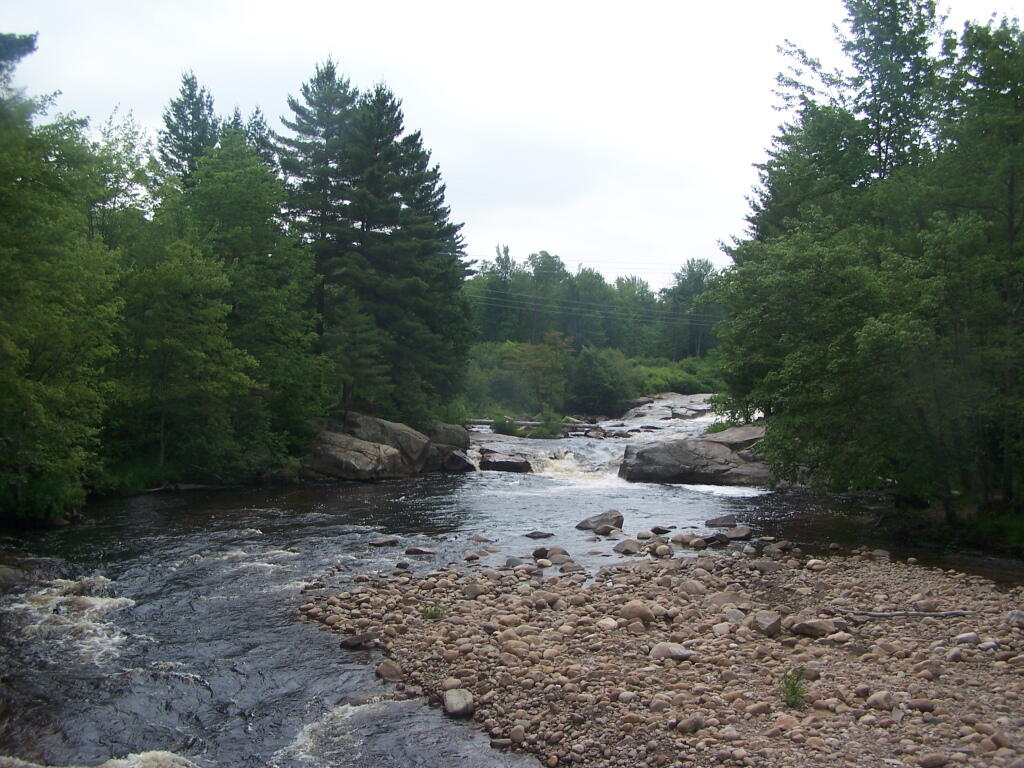
Swimming hole at Otter Creek in 2011 …

The Otter Creek Falls

The Old Roads of Moose River Plains

Old Forge, West Canada Lakes and Indian Lakes USGS Topographic maps from circa 1900. Colored dashes represent contemporary DEC Roads and Trails for comparison sake. Underlay is contemporary USGS topographic map.