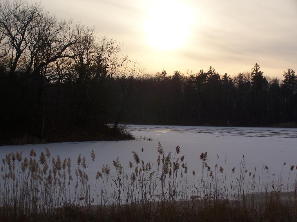
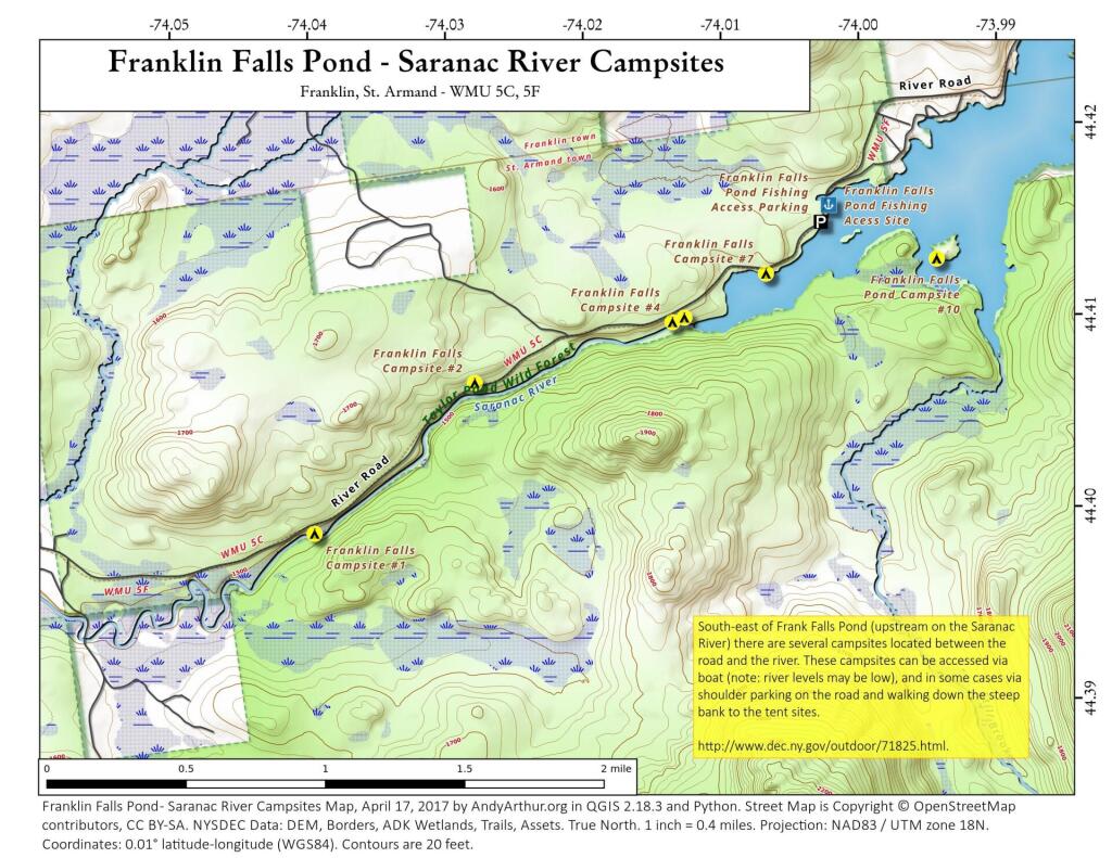
I mean I shouldn’t be surprised but I haven’t driven back here since 2010 before Irene when a big portion washed out and had to be rebuilt. Especially with my big ol truck – last time I drove it was with the much smaller Ford Ranger.
Camped down at Cole Hollow last night. 🏕 I had been thinking for some time of camping here as in theory it’s relatively close to the Schoharie Valley though in truth it’s pretty far west from Bear Ladder Road and the mile of dirt and stone track to get back to Cole Stream is pretty bone jarring and tough on suspension components so I doubt I’ll be back to this site any time soon. 🛻Plus it’s a narrow and tight driveway with mud wallows to navigate and it was buggy last night. 🪰 Probably tonight I’ll try to do off that paved road to Jefferson or Betty Brook or hammock camp.
Yesterday was crazy 🤪 at the office 🏢. Interviews actually just one as the first person canceled. 👥 The robo call 📞system we were testing failed and we had to move it to the legacy system. And the postal rate ✉ update broke that side of the operation. I was so happy to be up to camp no matter how bone 🩻 jarring the road was. Cole Hollow is very serene with that trout stream which runs through it little more than a gentle trickle in the background with birds chirping. 🐦 Fried zucchini 🍆 for dinner, had a nice fire 🔥 though a bit smokey as both the wood 🪵 and burnables were wet, I really should keep separating out the compost as those banana 🍌 peels are wet and don’t burn well. Fell asleep in the hammock listening to a podcast after a quick toke and a beer. 📻. Glad the week was over. No rain ☔ last night.
Eggs 🥚 for breakfast this morning, took down camp 🏕 and headed for the Old Blenheim Bridge. Riding up to Fultonham on my mountain bike 🚲 through the Schoharie Valley. Pretty flat with good road shoulders most of the way. 🌽 I want to stop at Shauls and get produce and maybe ice cream up that way. I was looking at the swimming hole by the Towpath Mountain parking area, 🛟 thinking that would have been perfect for floating at current river levels but I didn’t bring the tube. Swimming 🏊 at Mine Kill Pool this afternoon. Tomorrow swimming and riding but not sure where then out to the parents house. 👪
Driving 🚘 out here I was chewing over the fact I’ll be heading out to the Finger Lakes in two weeks 🏞 God willing! To leave at on Thursday night for Long Pond or just leave very early on Friday morning for the Finger Lakes is the question on my mind. 💭 Long Pond is two hours on the way to the Finger Lakes, but if I’m not camping on Friday morning I could probably get an earlier start plus it’s so much work to move around nine days of camping gear just to do overnight. I guess I could sleep in a hammock ghat one night. I just want to get to the Finger Lakes National Forest as early as possible to maximize my chances of getting the campsite 🏕 I truly want for the next nine nights.
Going to be a fun weekend.

