Search Results for: photo bird 2

Days Are Getting Longer

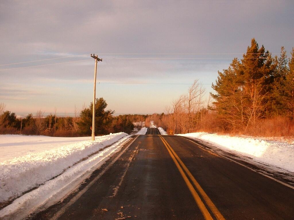
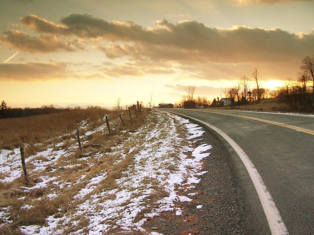
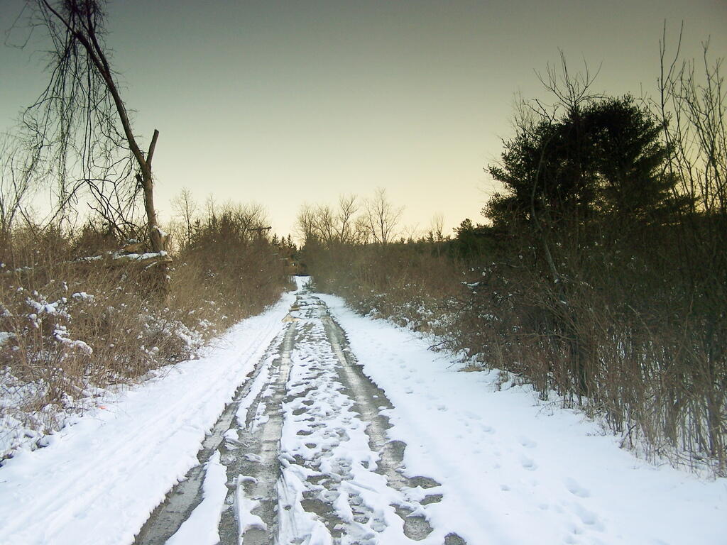
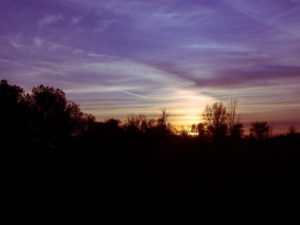
One of the hopeful observations of late is how much longer each day is getting. When I get out of work at 5 PM, it’s no longer dark, and often by the time I am home, there are still some hints of light.

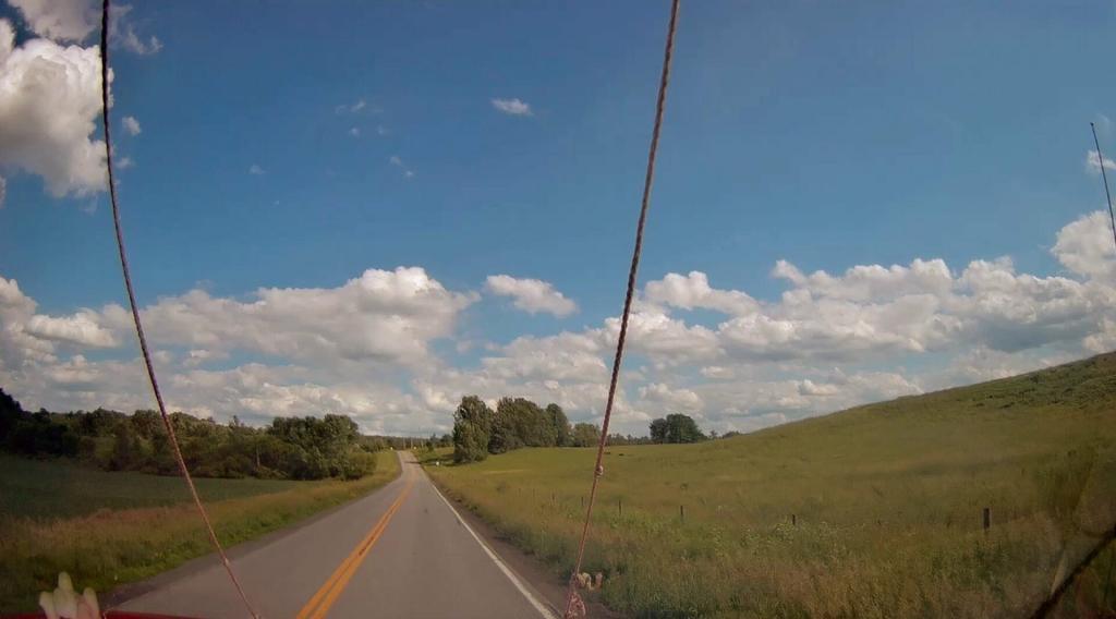
Dip in Road

Indeed, tonight the sun will not set until 5:23 PM. In contrast, on January 7 I tweeted that the sun will set at 4:39 PM, almost an hour earlier.

Route 406

Daylight in coming weeks will grow an accelerating rate through March 21, when growth will slow as we head to the climax of daylight on June 21, the first day of summer.

Five Rivers Road

The growth of daylight means warmer days are ahead. It may not feel that way in the depth of winter’s depression, but signs of spring are all around.

Dark Early

The chickens are laying more, the birds seem to be out more. The average high is now a few degrees above freezing, and when this cold spell ends, snow will start to melt away and signs of spring will become clearer.

Late Fall Camping at Sugar Hill

On my way down to Pennsylvania and on my way back to Albany, I spent a two nights camping out at Sugar Hill State Forest, lower Assembly area. While the area is primarily designed for equestrians, it does offer a person who seeks drive-in camping without a permit in Finger Lakes Region a place to stay.

On the Sunday night driving down to Pennsylvania, there was nobody else around but a bow hunter I saw in the morning. On Friday night, there where a lot of horse owners, because the Upper Assembly-area was closed for the winter. I drove around, hoping to visit the fire tower a top the Assembly area. Unfortunately, it was closed for the year. I did get some interesting shots from Tower Hill Road, heading up there, looking down at Seneca Lake.
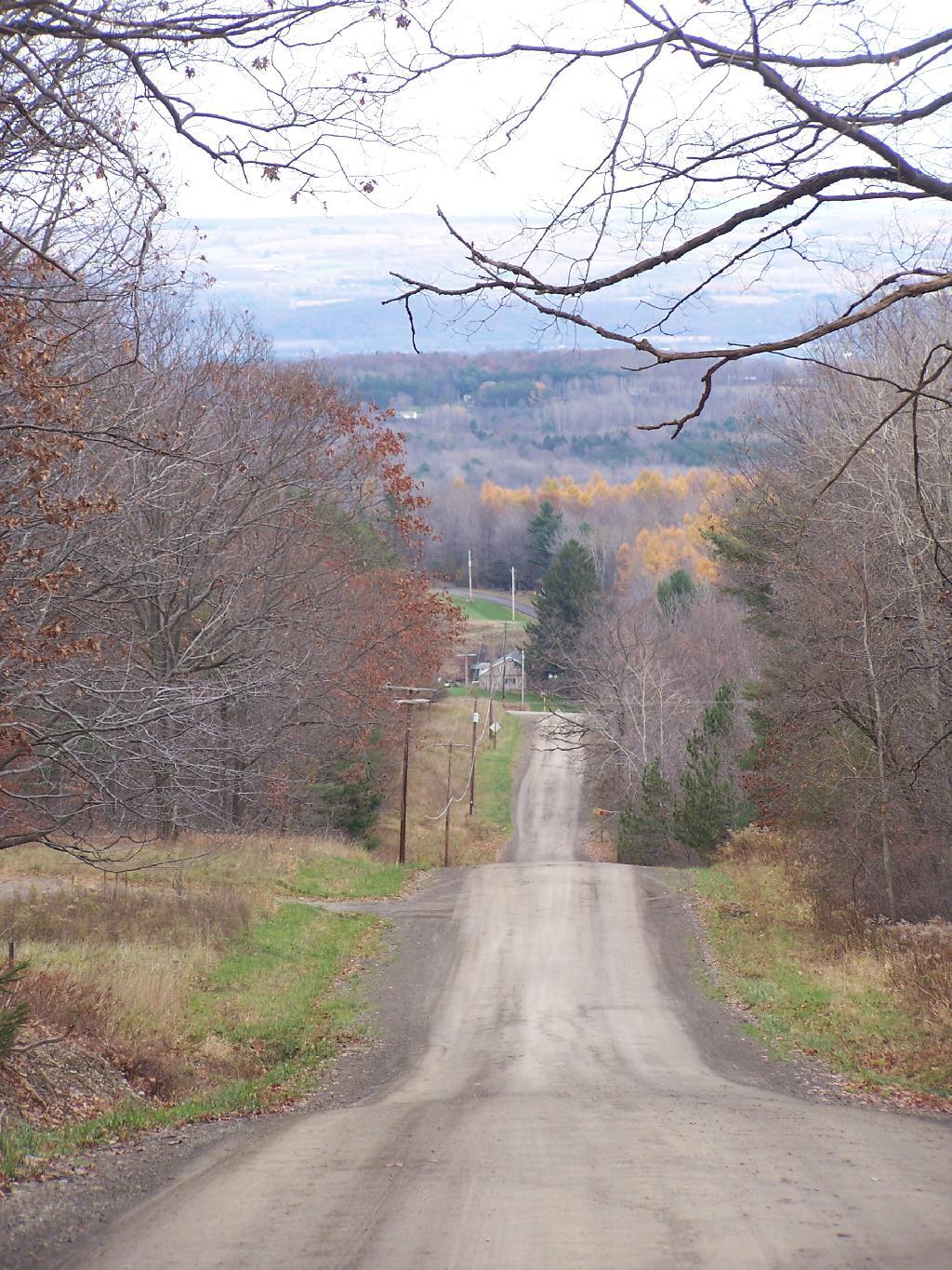
Tower Hill Road

On the other side of the ridge from Tower Hill Road, you can see Keuka Lake. It looks a lot different this time of year then in other times of year. I do wish I could have seen it from the fire tower, although I guess the fire tower has limited views due to trees growing up. I could have hiked up to the tower, but it’s a ways back, with the road gated off.
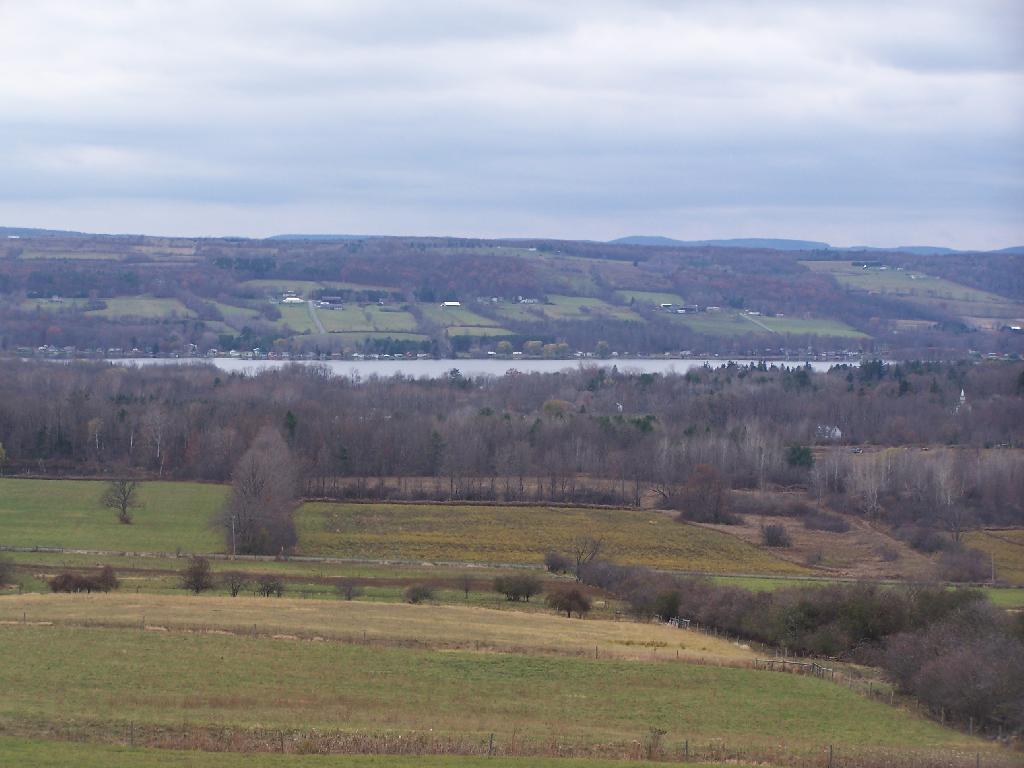
Valley

Next I drove down to Birdseye Hollow State Forest / Sanford Lake. Got lost. I know this time of year you don’t need camping permits for it, but it looked it was only tent sites. Things where pretty grown up, and it was getting late. I ended up driving back up the hill, to Sugar Hill, and settling in at the Lower Assembly area. On Sunday night, all the horse campers had packed up and gone back home.

I proceeded to make baked zita in the dutch oven, over a warm open fire. Somebody had left firewood from the previous weekend, and there was ample dead and down wood nearby in the forest, so I really nice warm fire.
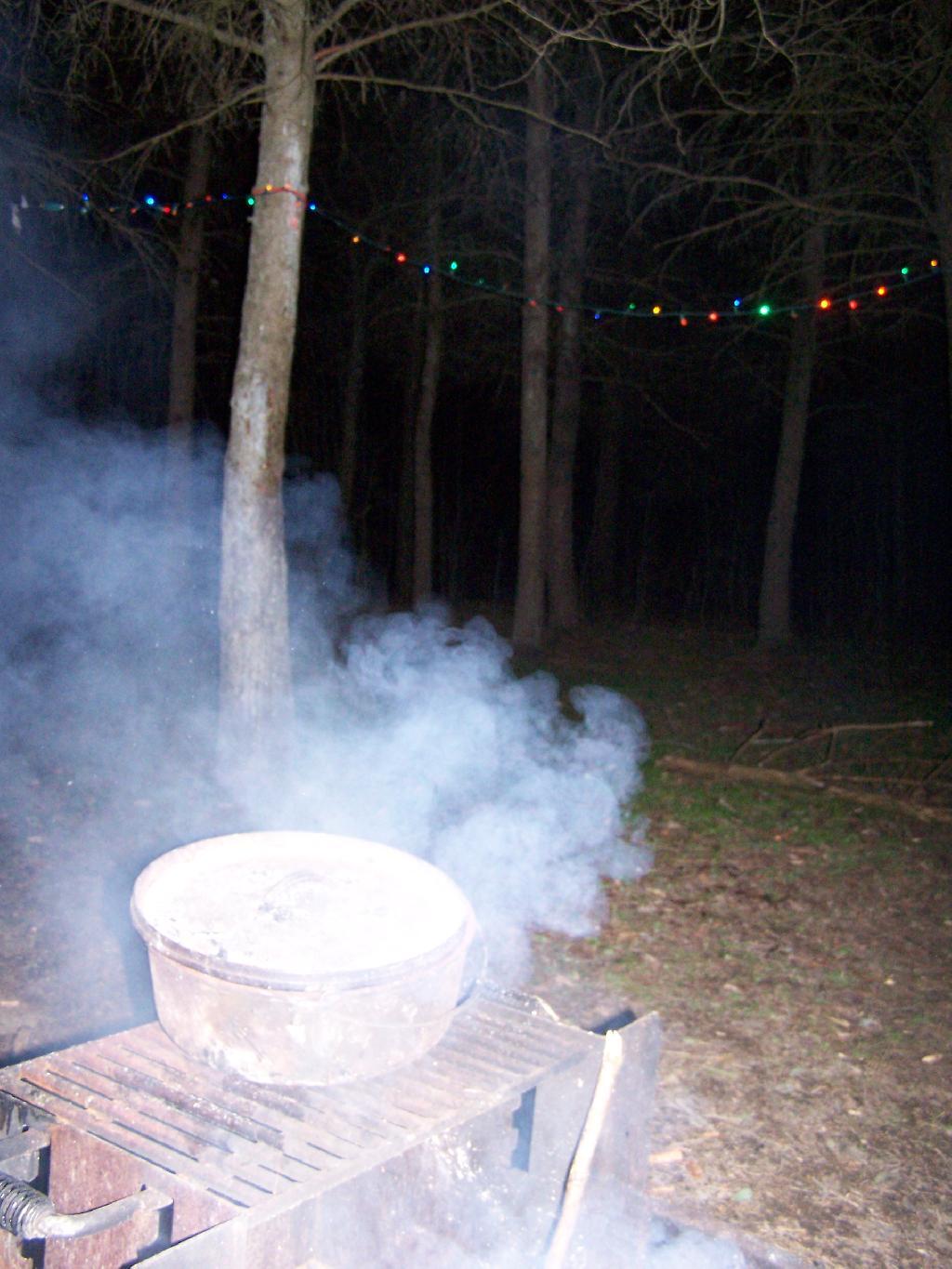
Cooking Dinner

I like the campsites down at Sugar Hill, although I wish they offered more privacy. Yet, I guess that’s not how Assembly areas work at horse camps. That said, on a Sunday evening, there was nobody else around. It was a bit more crowded the following Friday, for my return trip. It was a nice night, and great meal.
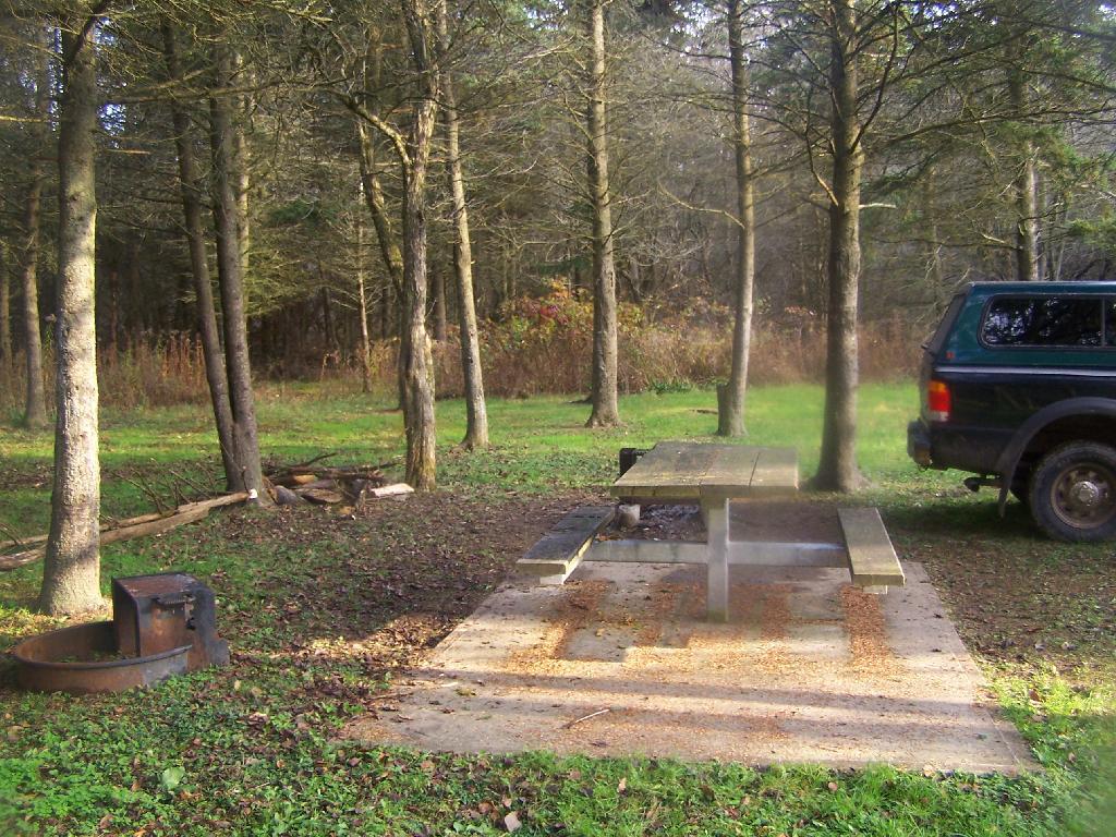
Campsite

Morning unfortunately came early, with the change of day light savings time, and it was dark when I set my alarm clock for 6:30 AM. Yet I knew I had a big day ahead, driving down to Pennsylvania, so I was before dawn. But eventually the sun rose over the pines of the Lower Assembly day, and it was a beautiful morning.
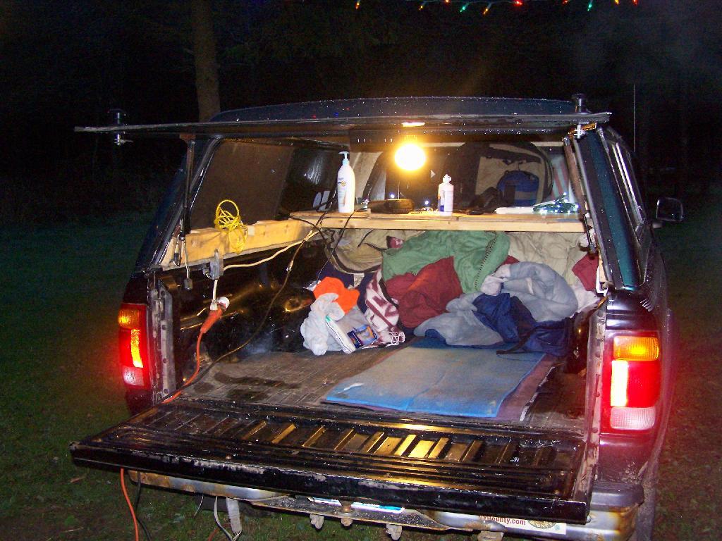
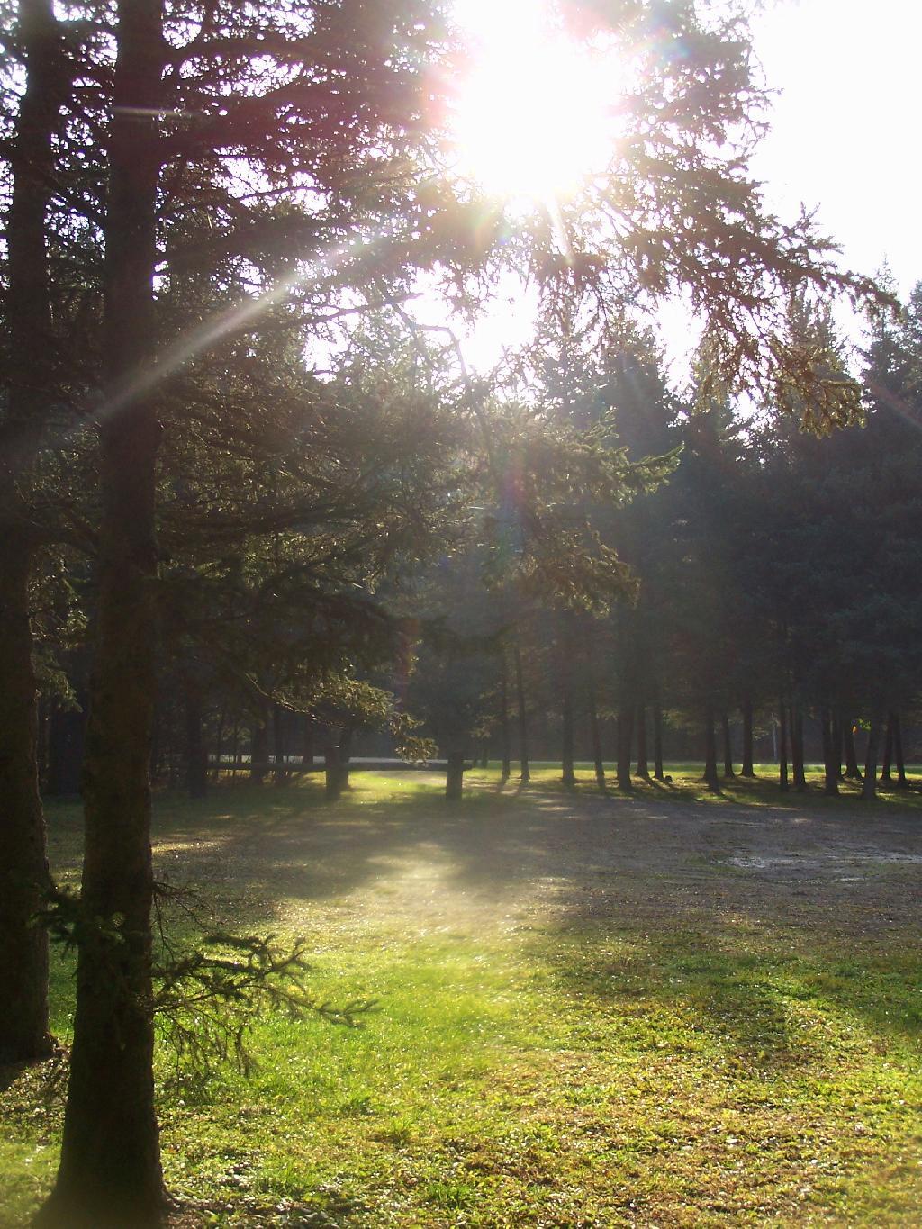
Camping Set Up

Sunrise

I packed up my gear, headed across a muddy truck trail to get packed up, took kind of a bath using a tea-kettle with hot water, and I was on my way to Pennsylvania. The camera lens kind of was fogged up from the cold.

Old Canal Warehouse in Chittenango  [Expires November 19 2023]

Campsite

The drive to Pennsylvania was spectular, especially just South of Sugar Hill in Coon Hollow (really a wide valley), with beautiful farms lining the road, and tall mountains surrounding it.
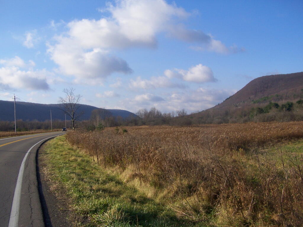
Coon Hollow

As a side note, I also stayed here on Friday, November 12. There where a lot of equestrians that where using the area by around 9 PM, with lots of horse trailers. Many came late. This Lower Assembly area doesn’t get much use in the summer, compared to the Upper Assembly area, but this time of year with the Upper Assembly area closed, many where down here for the weekend. Weekdays, you’ll probably be alone camping here — especially in the winter.

Here is a map of Sugar Hill.
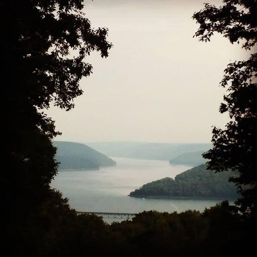
Love this view of Cornplanter Bridge

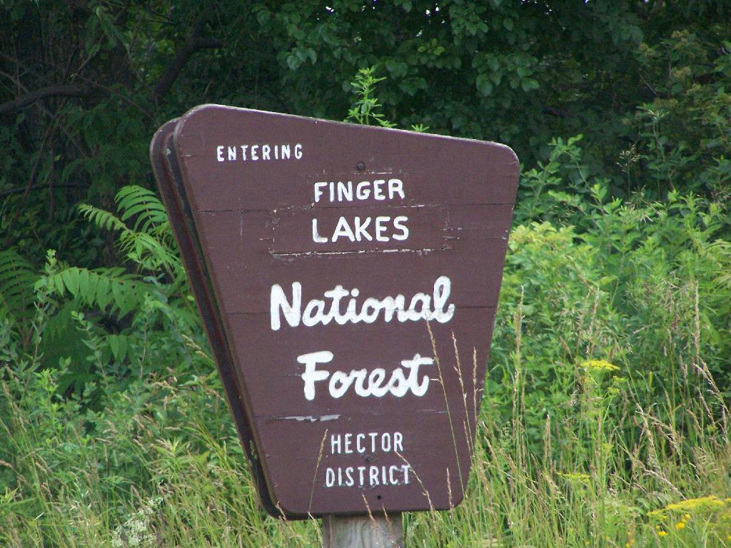
Finger Lakes National Forest

For the second day of the Finger Lakes Trip I spent a night at the Finger Lakes National Forest, a series of rather large leased public pastures interspersed with forested areas and ponds. National Forests are managed by the US Department of Agriculture, and this area in particular came under USDA jurisdiction in the 1930s when the Federal government bought out unproductive farms. This land was destroyed by the overuse of deep plowing for crops without proper management of soil erosion and fertility. It has since been well restored, thanks to controlled grazing and the creation of various wetlands.

I left around 10 AM from Balsam Pond, and headed out Route 23 to Cortland then down to Ithaca via Route 13. It was a beautiful day for sure, and there is some truly amazing country out around Pharsalia. I stopped briefly at the Cortland Walmart to buy a tarp and some windshield wipers — both badly needed as the rain would come later in the week. I also stopped down at Stewart Park in Ithaca briefly and snapped a few photos before heading west to the area of the Finger Lakes National Forest.

Here is the route I followed. The red line follows the route of my pickup on Sunday. The orange route is the auto tour I took on Monday. The blue point is Balsam Pond, the many red points are where I stopped to explore the National Forest.


View Finger Lakes Trip June 2009 in a larger map

Entering Forest

Hiking along the orange trail in the northern part of the National Forest. Other trails allow horses, just not this one through the forest.

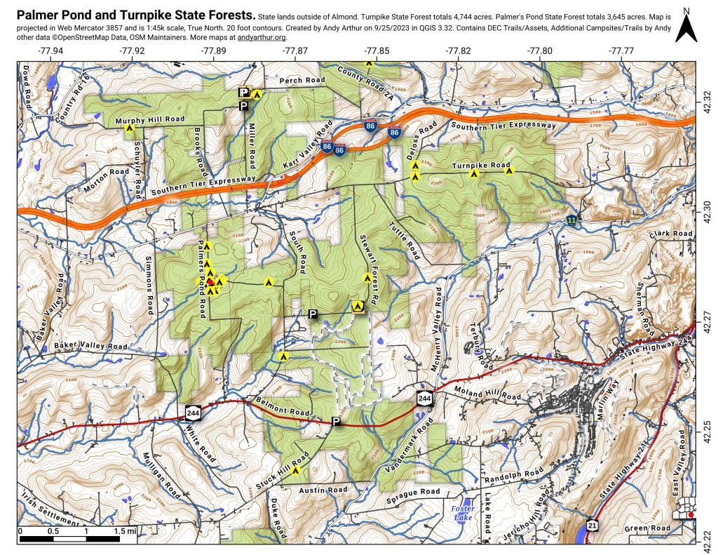
Palmer Pond and Turnpike State Forests

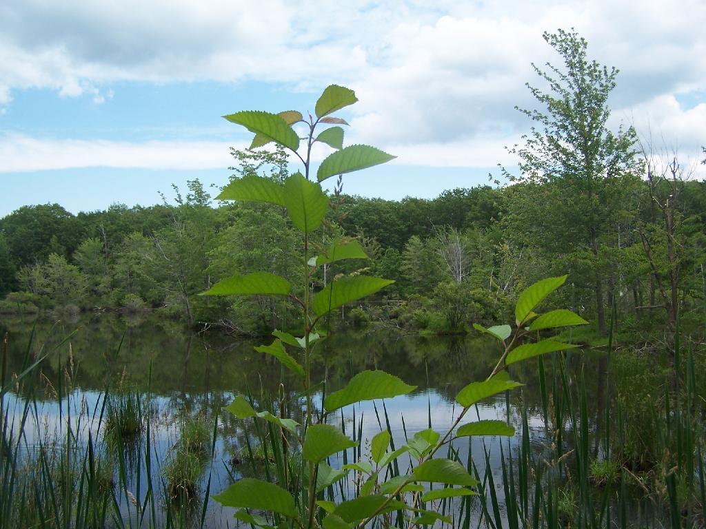
The northern portion of the Orange Trail passes this beautiful pond. There are places for tent camping along it — the USDA Forest Service is less restrict then DEC about camping, you need only be 50 feet away from water to set up a tent. They do not allow you to set tents up in cattle pasture during grazing season, for obvious reasons.

Pond

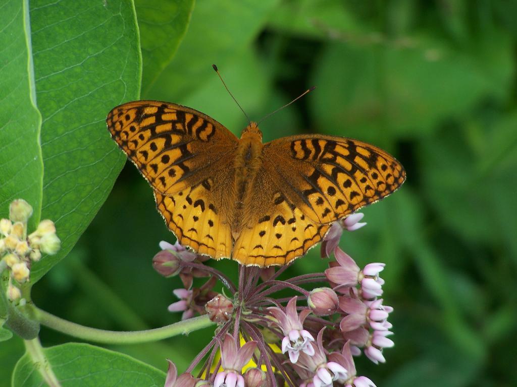
A beautiful orange butterfly was seen nearby that pond. There was an amazing amount of wild and domestic animals around when I explored things. There also was many deer, birds, and other things, to say nothing of both beeves and dairy cattle.

Butterfly

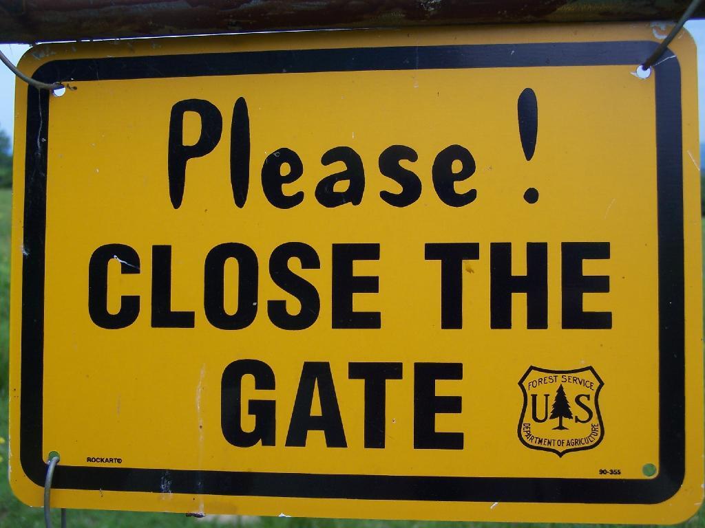
Many times the trails crossed into cattle pastures. To keep the cows from getting out, they had big reminder signs. It’s amazing that people could be so stupid to let the cows roam lose by accident. They don’t use cattle guards in this National Forest like they do out west, instead cows are fenced into pasture and off roads.

Close the Gate

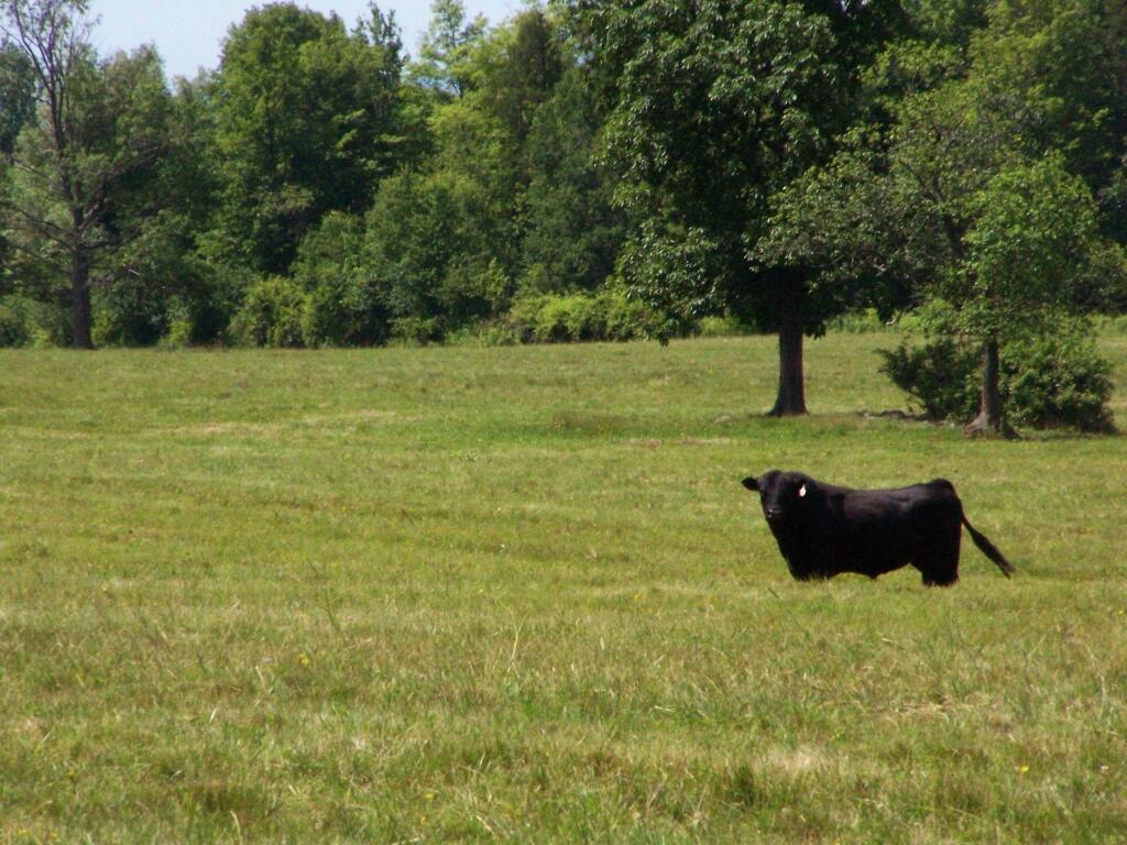
Howdy says the cow as you pass it on the trail. I think he liked my black stetson. They don’t see enough of them back east here.

Black Angus

Mind where you step on the trails.

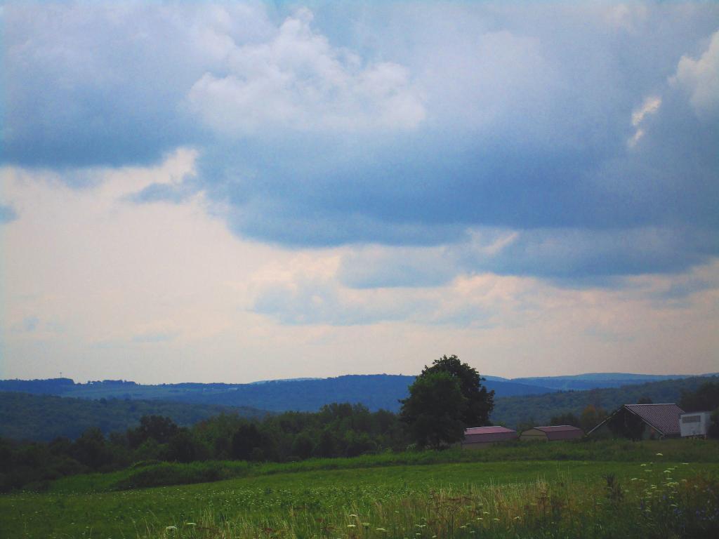
Clouds Hang Low Over County Route 21

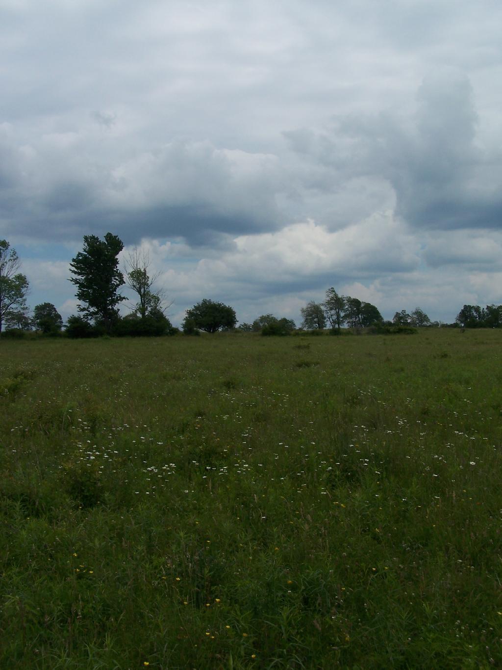
There are some pretty big pastures in this National Forest.

Junction Road

Later in the day, it started to rain.

Clouds

It really opened up and was raining so hard it was tricky to drive the dirt truck trails I was unfaimiliar with. That kind of sucked. Knowing that I wouldn’t be able to easily set up a tent in this heavy rain, that lasted most of the evening, and unable to find the road-side sites for camping (which I found in the morning).

I decided to stay at the Blueberry Patch primative campground in the National Forest, which costs $10 a night, via the honor system. They also have a group area, where groups can stay for $10 a night + 50 cents a person over 20 people. Quite neat. I paid, in part because the basic facilities (table/firepit/outhouses/nice tent platforms), where very well maintained.

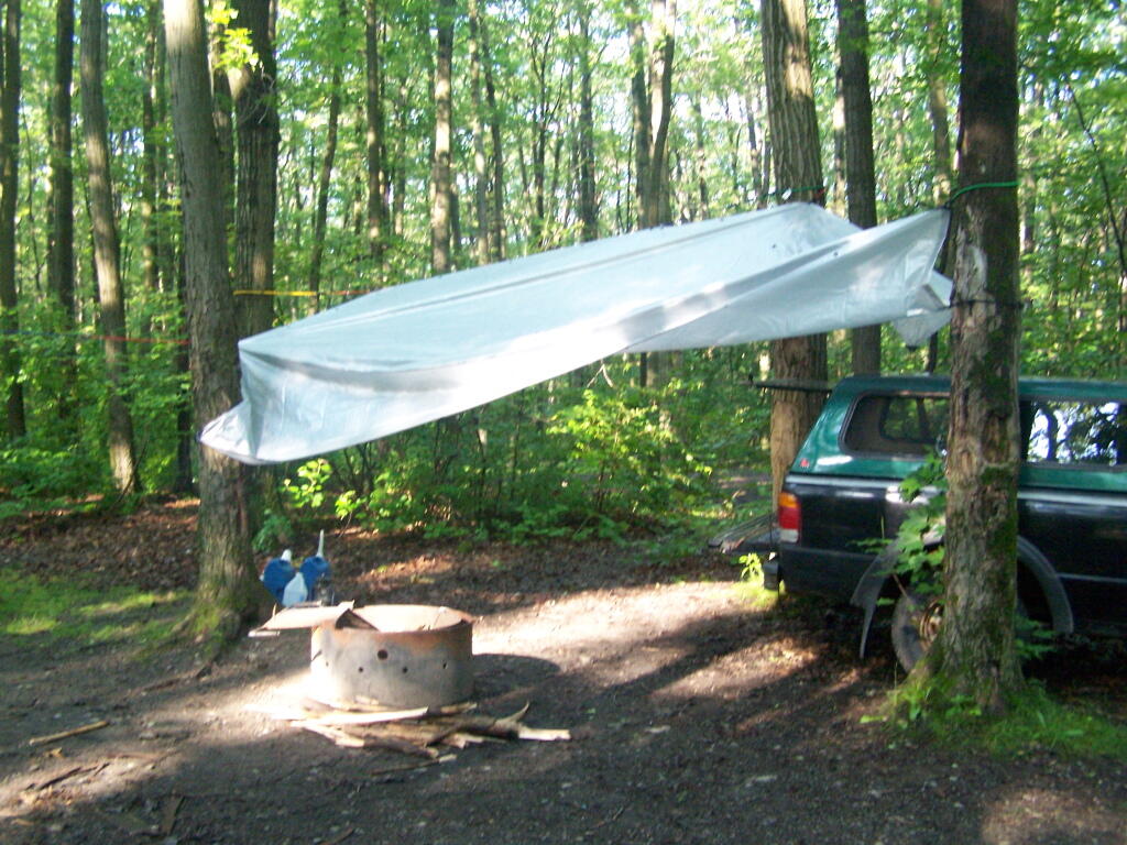
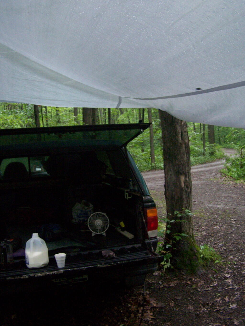
Once I got settled in, I got the tarp hung up over the back of my truck.

Tarp

And made some coffee mixed with Jack Daniels, and poured it into a styrofoam cup. It was real good and strong. It was good, dulled the pain and missery of the rain, and kept me up half the night.

Making Coffee

In the morning I drove around the National Forest to just check out some more of the lands and the beautiful pastures. This was my route around the area. Red was the drive on Sunday, Monday is in Orange. Free Campsites are marked with a tent, the $10 a night Blueberry Patch campground has a picnic icon, and the part of the orange trail I hiked along is marked with a blue line.


View Finger Lakes Trip June 2009 in a larger map

Here is a map of the entire parcel from the Federal Government.