Search Results for: map developed areas in new york state

Large NY State Forests Tend to Be Located In Rural Areas

There are many state lands across New York State.

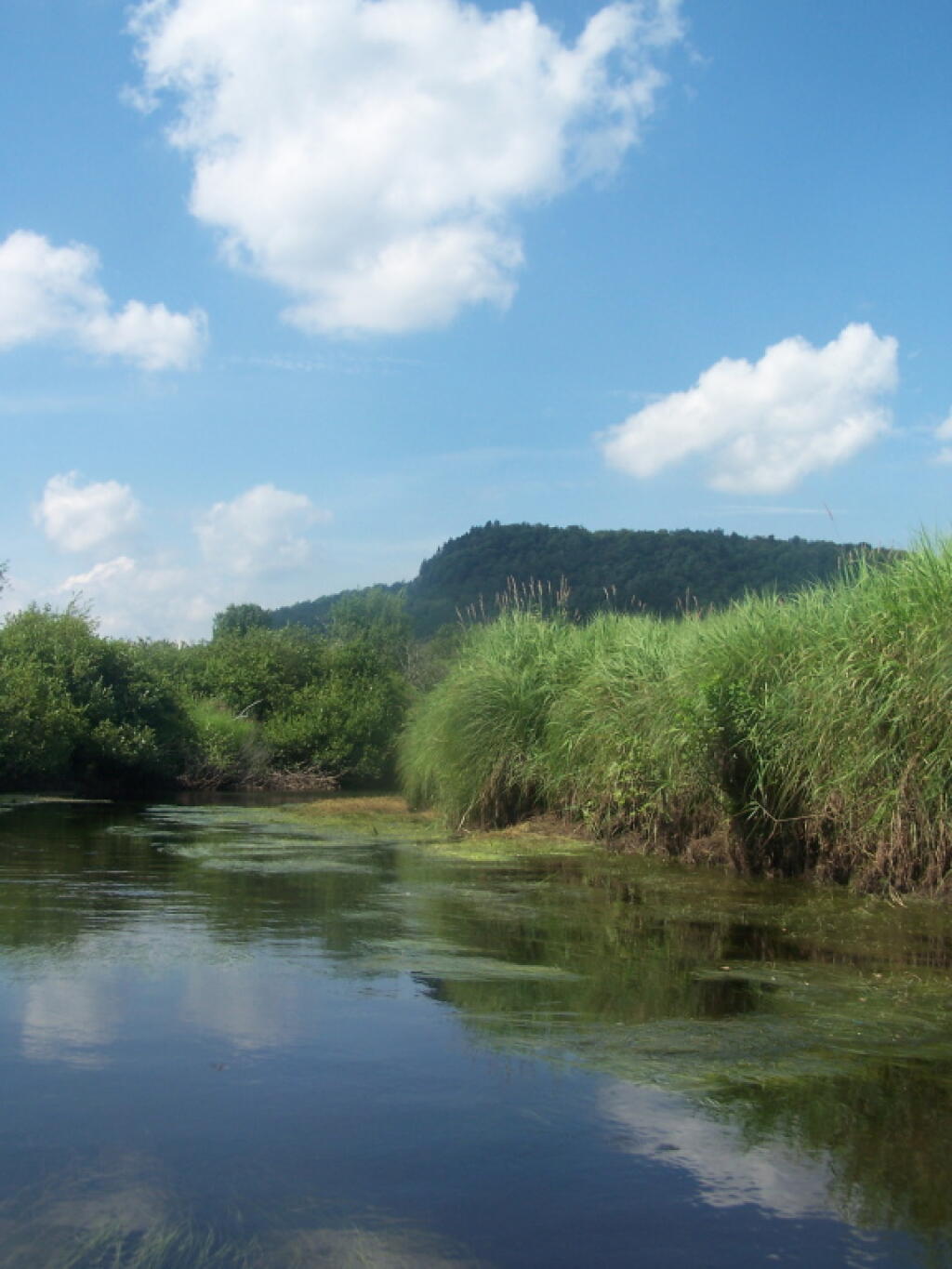
Paddling Cayuta Lake Inlet

The problem is, for many New Yorkers, the largest and most interesting parcels — the Catskill Forest Preserve, the Adirondack Forest Preserve, larger state forests like Brookfield Horse Camp, Brashier Falls, Tug Hill State Forest, Sugar Hill, are all a long drive from where they live.

This map shows the town population versus the location of state forest and forest preserve lands that are popular for hiking, camping, fishing and hunting. I did not include state parks. Note how unpopulated most areas are with large state forests.

Down By Long Pond

To demostrate how dramatic this is, take a look at a map of urbanized or otherwise developed areas of New York State based on Landstat data. Yellows are suburban areas, while reds are urbanized downtowns with few trees or forest — the kind of people you would think would most likely want to spend time in the woods.

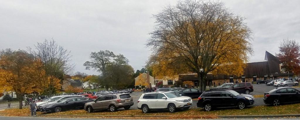
Craziness at the Early Vote place

Maybe we don’t want lots of urban folks coming to the state forests. Maybe there remoteness keeps people away. Yet, it shows the large disconnect from large public lands and the population centers across our state.

What can I turn my Data Services career into?

I truly love my career working as the Director of Data Services. It’s a great chance to use not only my managerial experience and experience working with the legislature but also my decades of experience coding and working with the Unix text utilities and other command line programs on the Linux central database server. It’s fun creating queries and running custom reports and coming up with ways to maximize the value in data – while overseeing two divisions of employees that do data entry and processing.

It’s a great job and I have many ideas on how I can make the department more efficient, better at extracting value out of data. I am by nature of my honor committed to stay through the end of the year plus probably several more years as I received several months of training on the  technical nature of the job. Plus I’m well aware that a position looks far more impressive on a resume if you can show you’ve worked there for several years refining your skills and building up even better references.

That said, I’ve been considering my options beyond the New York Assembly should I decide to build my off grid homestead somewhere out of state. Land elsewhere may be less expensive, cities friendlier and smaller, without all the anti-second amendment and anti-rural crap folks live with in Upstate NY. How do I transfer my skills developed in my current career into a future career?

One option is to look at going back to school and working to earn certifications. I might be good with SQL, GIS mapping, RStudio and data analysis more generally but I don’t have any kind of formal certification besides from free classes I’ve taken online like on Udemy and that PACE University free GIS class. Kind of expensive and annoying to sit through lectures on things I already know well.

Another option is to look at the kind of careers I would be able to use my skills at Ina small town or city. What kind of businesses hire data analysis people who know QGIS? What kind of businesses are looking for a mid level manager who has several years of experience. I’ve reviewed resumes and interviewed many potential employees. I served as Deputy Director of Research Services for three years and are very good at vetting potential appointments by digging through public records and news articles.

Plus I shouldn’t discount my years of experience in the political communications industry, coordinating press and managing and supervising political campaigns. I’ve written dozens of campaign plans, background research on candidates and opponents, along with writing detailed demographic profiles on districts. To say nothing about my expertise in using the Democratic Committees’ VoteBuilder software – I’m top expert on it at DACC – and responsible for user accounts and accurately preparing and exporting data for the hundreds of people who use it. I’m the one who gets called when people need help. There are Democrats running for office even in red states and rural areas that need help doing research and compiling data.

The truth is I have a lot of skills and knowledge. But figuring out how to transform them into the life I want isn’t necessarily easy. I have a lot going for me but it’s not always easy to see how to transform my dreams into reality. What I need to do is hard research, face the truth and make difficult decisions – but realize that with my accomplishments even if the big leap means less pay it also means a better quality of life.

Columbus Day Road Trip Ideas

Over the past couple of days I’ve been thinking about what I want do for my Columbus Day Week Road Trip. While it feels like I just got back from my five-day August eclipse trip, that is really a fading memory, and I’m ready for another big trip.

One option, mostly discounted would be a Vermont Northern New York trip. This would be good if I don’t think I could spend the full nine days on the road due to bad weather, some issue with the truck (unlikely), having to do work (also unlikely), or family needs.

That trip if I do it would consist of overnight in in Southern Green Mountain National Forest, then heading up to Mid-State outside of Middlebury then head north and drive through Smugglers Notch. I’ve never driven through Smuggler Notch and that would be interesting. From there head east to the Northern Adirondacks or maybe outside of Malone to the Deer River State Forest then to some of the state forests I’ve long wanted to explore in Saint Lawrence County, like Wolf Lake State Forest and Frank Jadwin State Forest. Then come down through the Tug Hill Plateau. That might be an interesting trip, but that’s not the one I really want to take.

The October trip I really want to do is the multi-state trip that I did to years ago to West Virginia and Virigina. But with some different destinations then two years ago. I think I want to actually see the Blackwater Falls in West Virigina, visit Ohiopyle State Park in Pennsylvania, drive through more of the farm country in the Shenandoah Valley and do more of the Blue Ridge Parkway in Virigina. This year, I’m much less interested in Shenandoah National Park and Skyline Drive, as I feel like I’ve done that before, and I’m not interested in the constrained forms of recreation that parks provide. I’d rather spend more time seeing the Blue Ridge Parkway, where the speed limit is 45 MPH and the curves in general are much less sharp and hills are smoother. The Blue Ridge Parkway is such a nice drive compared to so many other roads these days, especially the steep hills of West Virginia.

The one thing about this trip option is it will have me staying more in developed campgrounds then I would like. Yes, most of the $10 or even $20 fees are nuisance fees in the grand scheme of things, but I like having my space while camping. It’s just not the same to camp when you have somebody else 20 feet away and you have to keep the noise down. That said, showers are nice.

The places I would camp in West Virigina in the Mongehella National Forest, along with the George Washington National Forest are dispersed camping areas and are remote enough I probably wouldn’t see many people around except for a passing pickup. I like West VIrigina, but those roads sure are steep, twisty, and narrow. I don’t want to overheat my brakes again or worry about that.

One thing that Northern West Virginia has going for it this year with my new phone is that the AT&T GSM network has much better coverage up there, especially outside of the hollows. On the long autumn nights, I like to be connected to the Internet, surf the web, update my blog, and no I can summon emergency services should I run into mechanical problems. I’ll take a long gun and extra food but I don’t like having zero service for multiple days on end. I just hate being totally off grid, especially in such remote country. The lack of cell service with my Verizon network CDMA phone more then anything else bugged me a lot about camping in West Virigina.

This year though, if I go down, I probably won’t first visit the Alleghany National Forest but will instead stay at Asaph Run or more likely County Bridge Primitive Campgrounds. They are $10/night but they are worth it as they closer to being on the way, and I can then hop on US 15/US 220/Interstate 99 and head straighter for Cumberland, Maryland then West Virigina and either to Forest Road 13 outside of Thomas, WV or Camp Run in Fort Seybert, WV. I liked the dispersed camping a lot along the high-elevation swamps on Forest Road 13, although I always worry about their being enough campsites up there because it’s somewhat limited along the road. That would bring me close to Blackwater Falls for visiting the net day, and also along Corridor “H” which is a newer expressway to Thomas. It passes by a massive coal fired power plant, which might be interesting to drive by just to see what is like in person. Another option down in the corner of Pennsylvania by West Viriginia is the aforementioned Ohiopyle State Park, which I’ve been interested in a while but are more interested since that hunter last autumn that I ran into on the trail told me what beautiful country it is up there.

Dolly Sods Wilderness is quite scenic but it’s a way up and I’ve been there before so I may skip that. Same thing with Gandy Run Camping Area and Spruce Mountian, the highest elevation in the Mountain State. I’d rather hurry down to the Blue Ridge Parkway.

I would at some point crossover to Viriginia — I’m thinking US 250 — then drive down in the Shenandoah Valley for a bit before heading up to the Blue Ridge Parkway. I’ve seen the Shenandoah Valley from Shenandoah Parkway but never spent much time down in it.

The Blue Ridge Parkway is a nice drive. The North Creek Campground in Bucchan, VA is quite nice, for $10/night and even had a bit of CMDA cell service there. No showers though. The next overnight would be the Flat Rock or whatever the developed campground is on the Blue Ridge Parkway is south of Ronoake. I think that one is like $25/night but they they have showers and maybe even electricity at campsites.

At that point, I would almost be to the Tennessee line and I doubt I would go further south. I would probably come back part of the way I came, then more of the Shenandoah Valley, camping over again at North Creek Campground in Buchanan then probably heading up to West Virigina and camping over at Camp Run in Fort Seybert. I might then drive home from there or maybe overnight at County Bridge or Asaph Run in Wellsboro, because I really don’t like driving that much, and it gets dark so early in October.

I don’t have everything planned out and I need to study maps some more. But that’s fine. I’ll work on that tomorrow, and realize there is more to plan. That said, next Saturday, October 7th will be here before you know it.

Philosophy of the Adirondack Park vs Allegheny National Forest

There are probably not two different public lands in the Northeastern United States that are more different then the Adirondack Park and the Allegheny National Forest.

Looking Back at Trout Lake Mountain

The Adirondack Park’s Forest Preserve is one of the country’s largest wild forests, which basically is a wilderness area with very limited roads and motorized recreation or activity. Over half of the forest is totally free of motors of all sorts, from cars, trucks, boats, ATVs, and snowmobiles, to even generators used up at camp. No trees can ever be cut in Adirondack Forest Preserve, most uses and recreation are limited to current uses, and only are to become more restictive in the future. All use is strictly controlled by detailed regulations created by the State Department of Environmental Conservation and AdirondacK Park Agency, and public use is very restricted.


View Larger Map

The Allegheny National Forest has extensive road system, is extensive logged, and used for oil and natural gas production. It offers extensive developed recreation, including dozens of campgrounds, several ATV trails, hundreds of miles of truck trails and other roads, boat launches, and basically any other use one can imagination for a public lands. It literally has more oil and gas wells then all other USDA-administer National Forests across the nation, combined. The land is largely on a grid, and where it’s not, the land has many roads following natural contours. Wilderness areas are a relatively small portion of the area.

Buck Mountain in West Canada Wilderness

Which philsopohy of land management is better?

Environmental purists would prefer the park, because the landscape is more prestine, and vastly less trambled by man. Man-made uses, such as roads and roadside-campsites are limited largely to near roads, and wilderness areas have limited trails, with only a few lean-tos and backcountry campsites.

Looking Back to Wakely Dam

Conservationists in many cases would prefer the Allegheny National Forest. They would note the diversity of land uses, and that while it’s a largely wild landscape, with people primarily coming to visit, it also provides our economy with valuable products, such as timber, oil and gas. Recreational activities like all-terrian vehicles, scenic driving, and camping are offered, far more extensively then in New York Forest Preserve.


View Larger Map

I sometimes cringe when I look at the aerial photographs of Allegheny National Forest, or study the road maps. It looks like the entire ecosystem and forest is engineered. You can see the impacts of oil and gas drilling, and timber production — both which require a lot of roads, that don’t exist in Adirondack Park.


View Larger Map

However, due to lack of roads, and lack of facilities in most of Adirondack Park, use of land is largely limited to areas within 5-10 miles of existing public roads. A lot of true backcountry is too far back to pratically expect most people to ever go. Some activities — like ATV riding on public lands is non-existent. Camping activities are fairly restricted to designated spots along roadsides, at state campgrounds, and certain back country locations.

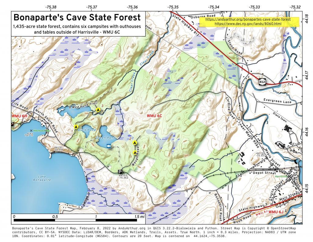
Bonaparte\'s Cave State Forest

While there is a lot to like about having some wilderness areas — like the Adirondack Park, when you review the regulations and policies the state has created for the goverence of the park, you have to wonder if they have gone too far. Some true wilderness areas are wonderful, but are there too much wilderness? Do restrictions on development of public lands leave too much restricted?

Wilcox Lake Wild Forest

I don’t know. The Adirondack Park is a delight, a great wild space, but it does seem sometimes that are state goes too far in restricting public use, and walling off all the lands from ever having any timber cut, or any new facilities developed under public demand.

What Happened to Ferris Lake and Wilcox Lake Unit Management Plans?

What Happened to Ferris Lake and Wilcox Lake Unit Management Plans? The DEC released drafts and took public comment, yet never attempted to APA or Comissioner approval. The typical process for Unit Management Plans is:

  1. Conduct resource inventory of the unit area.
  2. Solicit written and verbal input from the public through press releases and meetings.
  3. Development of a draft plan and address State Environmental Quality Review (SEQRA) issues.
  4. Prepare a draft plan (for the APA to review in the Adirondack Park).
  5. Release draft UMP and conduct public hearings.
  6. Resolve issues, revise the plan (with APA review for compliance with the APSLMP).
  7. DEC Commissioner gives final approval and the UMP is adopted.

According to the DEC’s Unit Management Plans website, the following parcels of land in Adirondack Park had Draft Unit Management Plans and took public comment. The DEC got through Step 4 (Draft Plan and Public Comment), yet no final document was approved:

  • Ferris Lake Wild Forest – Public comment closed on December 2006
  • Wilcox Lake Wild Forest – Public comment closed on March 2007

 Cascade Falls

These two parcels represent the two largest wild forests in the Southen Adirondacks, with the largest “developed” recreation facilities such as primative campsites, hiking and snowmobile trails. They are located within 30 miles of major interstate highways, namely the Thruway and Adirondack Northway.

Ferris Lake Wild Forest.

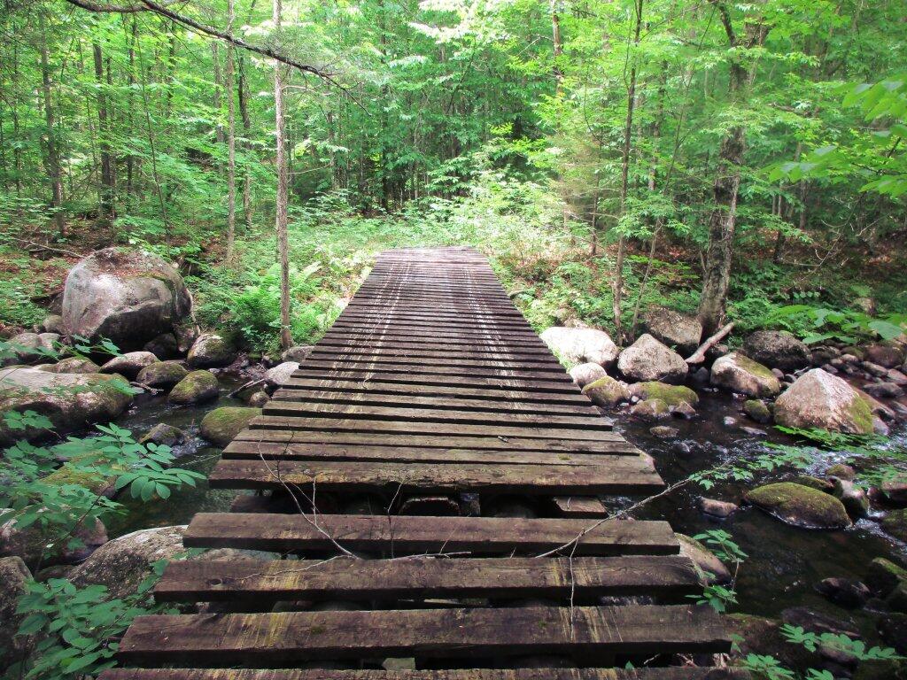
 Bridge Over Wilcox Outlet

Wilcox Lake Wild Forest.

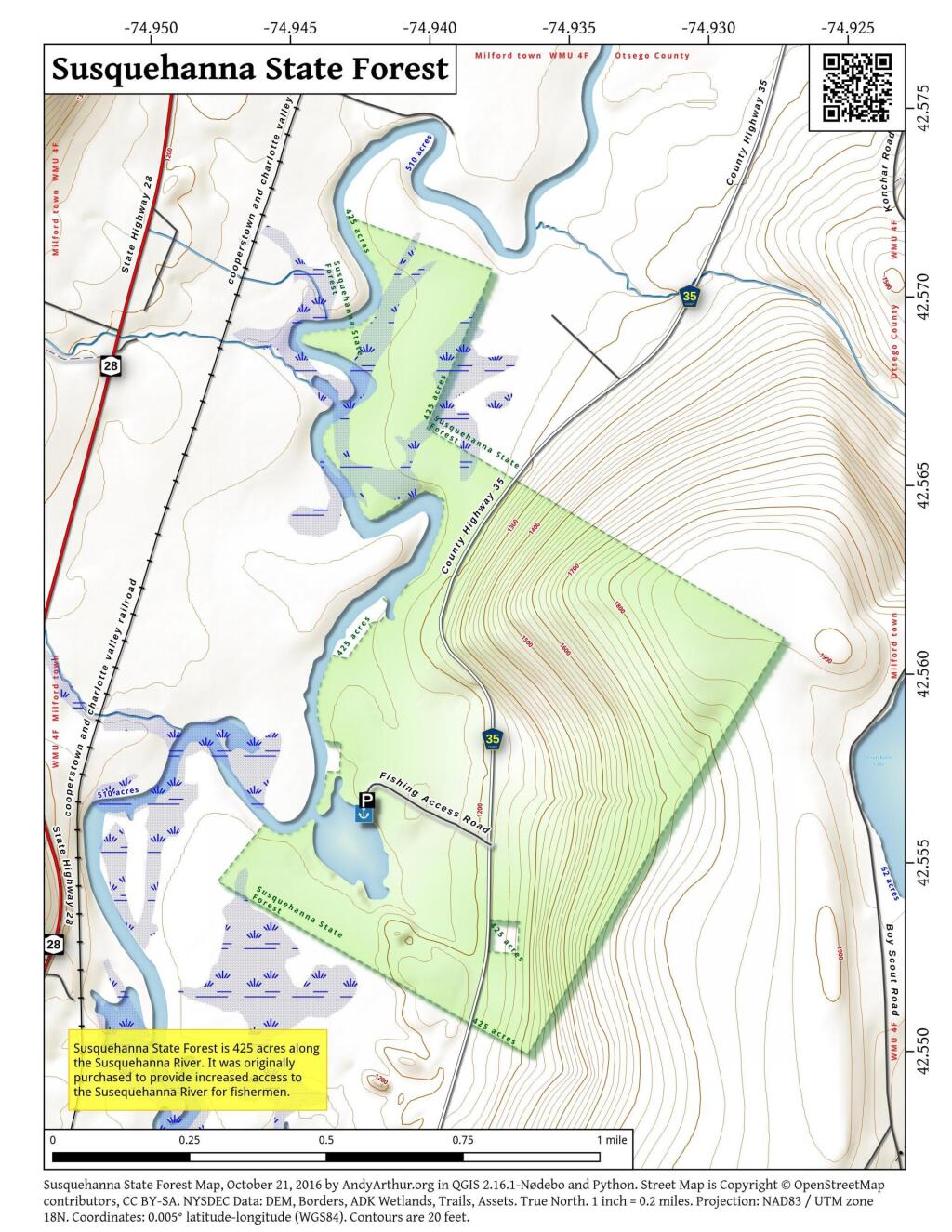
 Susquehanna State Forest

The Adirondack State Land Master Plan describes Wild Forests as:

A wild forest area is an area where the resources permit a somewhat higher degree of human use than in wilderness, primitive or canoe areas, while retaining an essentially wild character. A wild forest area is further defined as an area that frequently lacks the sense of remoteness of wilderness, primitive or canoe areas and that permits a wide variety of outdoor recreation.
Those areas classified as wild forest are generally less fragile, ecologically, than the wilderness and primitive areas. Because the resources of these areas can withstand more human impact, these areas should accommodate much of the future use of the Adirondack forest preserve. The scenic attributes and the variety of uses to which these areas lend themselves provide a challenge to the recreation planner. Within constitutional constraints, those types of outdoor recreation that afford enjoyment without destroying the wild forest character or natural resource quality should be encouraged.

Many of these areas are under-utilized. For example the crescent of wild forest areas from Lewis County south and east through Old Forge, southern Hamilton and northern Fulton Counties and north and east to the Lake George vicinity can and should afford extensive outdoor recreation readily accessible from the primary east-west transportation and population axis of New York State.
Frame 27

It’s not totally clear why the Spitzer and Paterson administrations did not proceed to revise the plans and seek final approval by the DEC Commissioner. Some issues one can think of:

  • The issue of controversal proposed road closures under Section 212, especially in the Wilcox Lake UMP. Many residents expressed concerns over certain roads are hearings and comments.
  • The issue of road-side camping? Developed facilities shown in maps appear to be incompatible with the seperation guidelines of the APSLMP, especially along Route 8 in Wilcox Lake and Piesco-Powley Road in Ferris Lake?
  • The role of ATVs and off-road vehicles in the UMP — should they be allowed? How do they fit in the APSLMP? This was not proposed in the draft UMP, however many in the public have expressed support for such facilities.

Plains of East Canada Creek

It’s too bad that these issues can not be resolved in a way that all sides can agree on. Closing off the campsites and the roads would be a disappointing option, yet at some point the state really should approve a UMP as:

Without a UMP, the management of these Forest Preserve lands can easily become a series of uncoordinated reactions to immediate problems.  No new facility construction, designation, or major rehabilitation can be undertaken until a UMP is completed and approved, with current management limited to routine maintenance and emergency actions. A written plan stabilizes management despite changes in personnel and integrates related legislation, legal codes, rules and regulations, policies, and area specific information into a single reference document. Other benefits of the planning process that are valuable to the public include the development of area maps, fishing information handouts, and a greater awareness of recreational opportunities and needs within specific areas of the Adirondack Park. In view of tight budgets and competition for monetary resources, plans that clearly identify area needs have greater potential for securing necessary funding, legislative support, and public acceptance.

Let’s hope there can be some kind of compromise reached, so future facilities and investments can forward on these important pieces of land in the Southern Adirondacks.

Land Use Classifications in Adirondack Forest Preserve

These definations are from the Adirondack Park State Land Master Plan.

‘ ?>


View Larger Map ‘ ?>

Wild Forest.

A wild forest area is an area where the resources permit a somewhat higher degree of human use than in wilderness, primitive or canoe areas, while retaining an essentially wild character. A wild forest area is further defined as an area that frequently lacks the sense of remoteness of wilderness, primitive or canoe areas and that permits a wide variety of outdoor recreation.

Towards Indian Lake

To the extent that state lands classified as wild forest were given or devised to the state for silvicultural or wildlife management purposes pursuant to statutory provisions specifying that these lands will not form part of the forest preserve (if such provisions are constitutional), the following guidelines are not to be interpreted to prevent silvicultural or wildlife management practices on these lands, provided that other guidelines for wild forest land are respected.

Those areas classified as wild forest are generally less fragile, ecologically, than the wilderness and primitive areas. Because the resources of these areas can withstand more human impact, these areas should accommodate much of the future use of the Adirondack forest preserve. The scenic attributes and the variety of uses to which these areas lend themselves provide a challenge to the recreation planner. Within constitutional constraints, those types of outdoor recreation that afford enjoyment without destroying the wild forest character or natural resource quality should be encouraged.

Many of these areas are under-utilized. For example the crescent of wild forest areas from Lewis County south and east through Old Forge, southern Hamilton and northern Fulton Counties and north and east to the Lake George vicinity can and should afford extensive outdoor recreation readily accessible from the primary east-west transportation and population axis of New York State.

Snowy Mountain

Wilderness.

A wilderness area, in contrast with those areas where man and his own works dominate the landscape, is an area where the earth and its community of life are untrammeled by man–where man himself is a visitor who does not remain.

A wilderness area is further defined to mean an area of state land or water having a primeval character, without significant improvement or permanent human habitation, which is protected and managed so as to preserve, enhance and restore, where necessary, its natural conditions, and which:

(1) generally appears to have been affected primarily by the forces of nature, with the imprint of man’s work substantially unnoticeable;

(2) has outstanding opportunities for solitude or a primitive and unconfined type of recreation;

(3) has at least ten thousand acres of contiguous land and water or is of sufficient size and character as to make practicable its preservation and use in an unimpaired condition; and (4) may also contain ecological, geological or other features of scientific, educational, scenic or historical value.
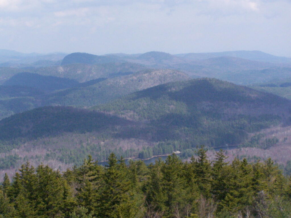
Crane Pond from Pharaoh Mountain

Significant portions of the state lands within the Park are in a wilderness or near-wilderness condition today. These areas constitute nearly 20% of all designated federal and state wilderness east of the Rocky Mountains and 85% of the designated wilderness in the eleven northeastern states. At the time of the original enactment of this master plan, a majority of these areas contained some structures and improvements or were subjected to uses by the public or by official personnel that were incompatible with wilderness. However, the extent of these non-conforming uses was very modest from the standpoint of the total acreage involved. Since 1972 all but a few of those non-conforming uses have been removed by the Department of Environmental Conservation.
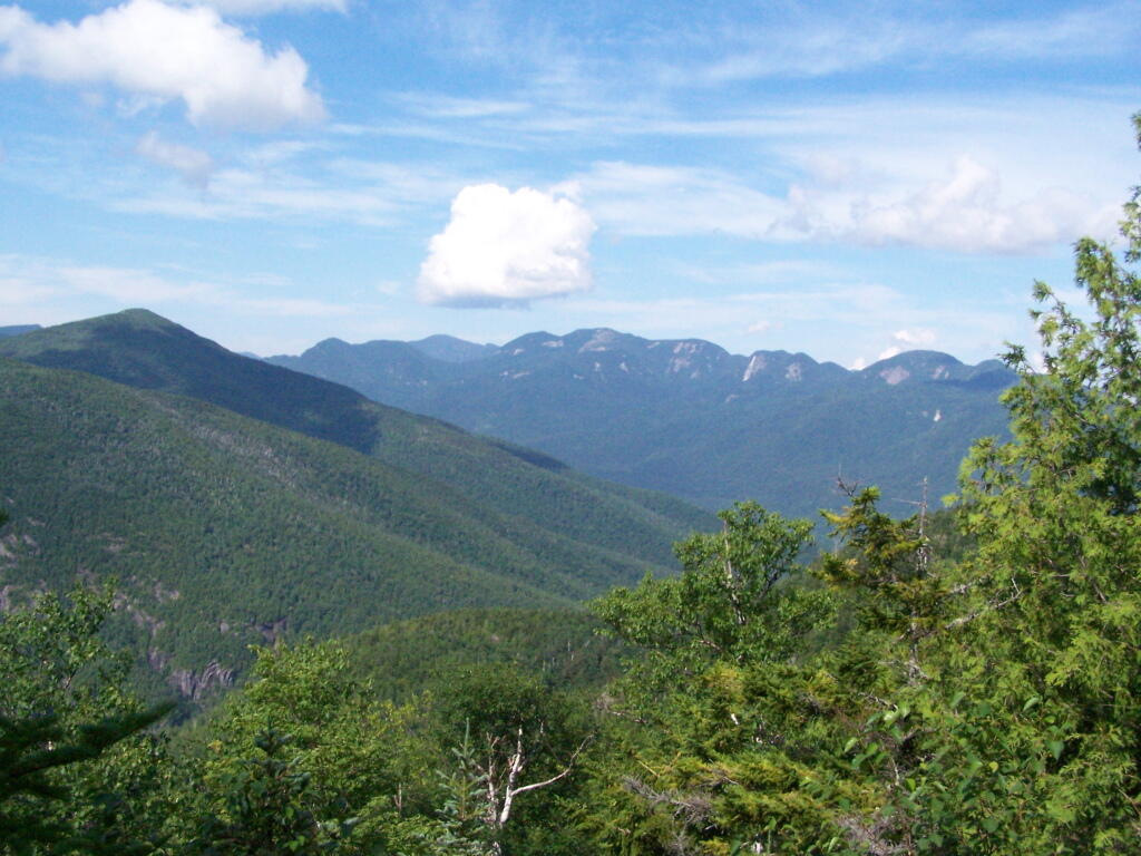
Gothics

Primative Area.

A primitive area is an area of land or water that is either:

1. Essentially wilderness in character but, (a) contains structures, improvements, or uses that are inconsistent with wilderness, as defined, and whose removal, though a long term objective, cannot be provided for by a fixed deadline, and/or, (b) contains, or is contiguous to, private lands that are of a size and influence to prevent wilderness designation; or,

2. Of a size and character not meeting wilderness standards, but where the fragility of the resource or other factors require wilderness management.
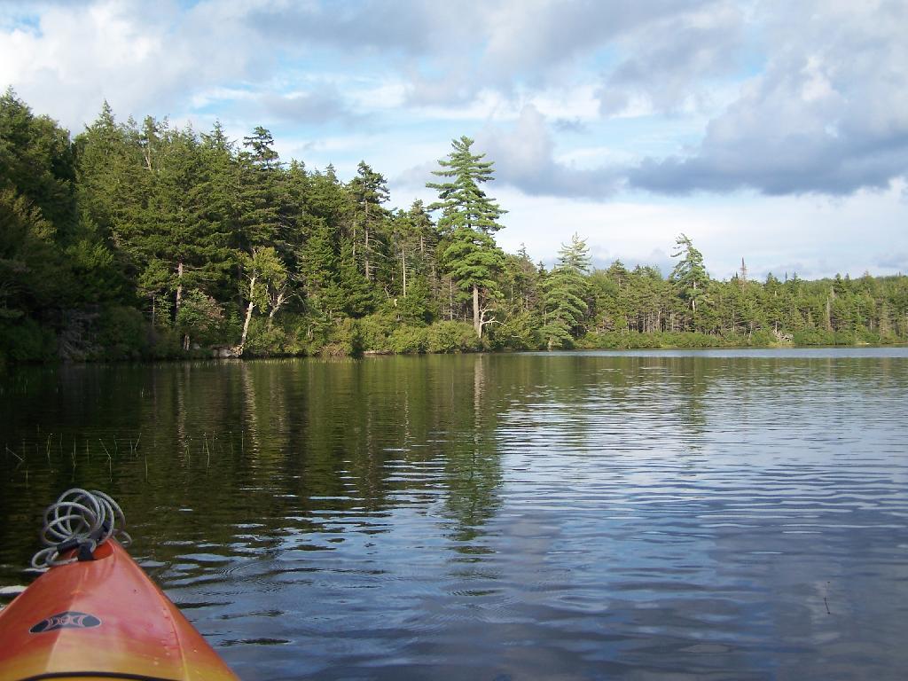
Northeast Tip

The definition recognizes two basic types of primitive areas: (i) where the ultimate goal is clearly to upgrade the area to wilderness at some future time, however distant, when the non-conforming uses can be removed and/or acquisition of private tracts is accomplished, and, (ii) where eventual wilderness classification is impossible or extremely unlikely.

An example of the first type would be the existence of a fire tower and associated structures and improvements (observer cabins, telephone lines, etc.) whose precise date of removal cannot be ascertained until the new aerial surveillance program of the Department of Environmental Conservation is fully implemented and communication systems modernized. Another example would be a private or minor public road traversing a tract otherwise suitable for wilderness designation or separating such an area from a designated wilderness. Finally, an extensive private inholding or a series of smaller private inholdings whose eventual acquisition is desirable but cannot now be provided for, might so affect a potential wilderness area as to require primitive designation.
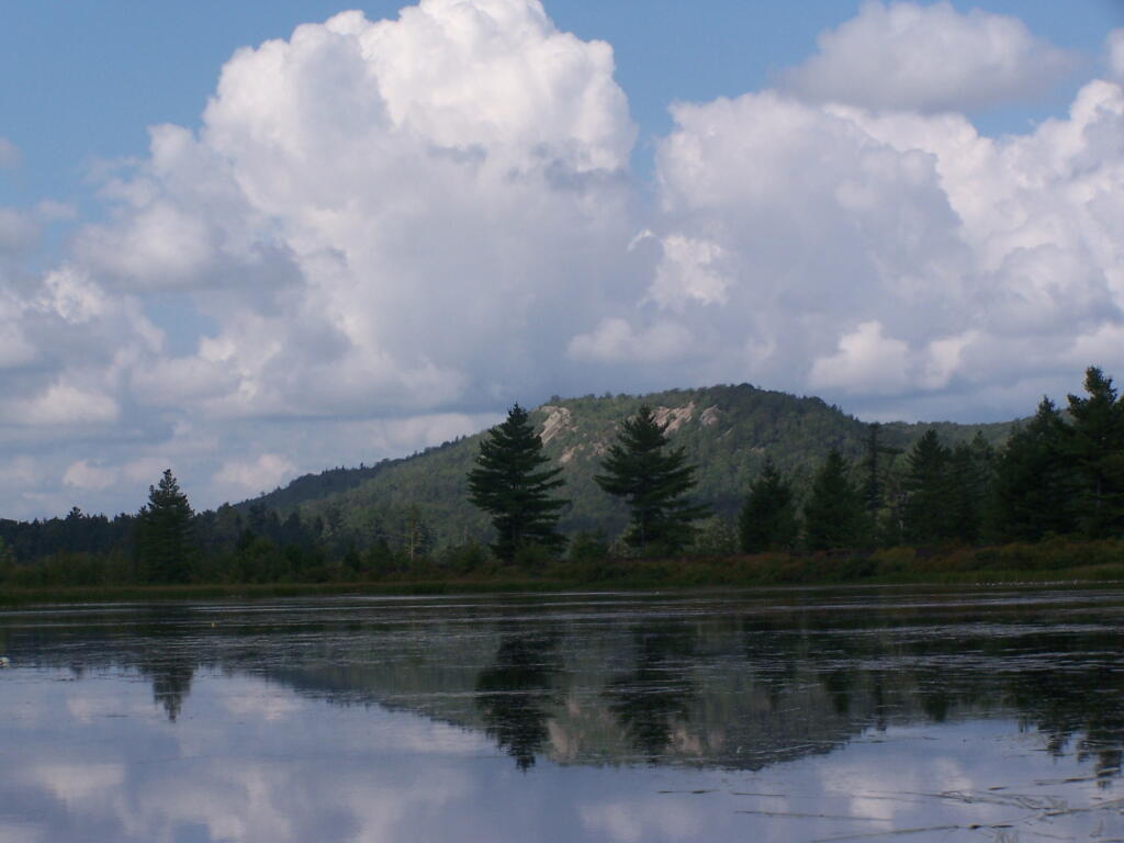
Lows Ledge

The second type includes smaller tracts that are most unlikely to attain wilderness standards, such as a small island in close proximity to a highly developed shoreline, or larger tracts with non-conforming uses, such as a railroad or major public highway, that are essentially permanent, but where in each case the high quality or fragility of the resource requires wilderness management.

The definition recognizes two basic types of primitive areas: (i) where the ultimate goal is clearly to upgrade the area to wilderness at some future time, however distant, when the non-conforming uses can be removed and/or acquisition of private tracts is accomplished, and, (ii) where eventual wilderness classification is impossible or extremely unlikely.
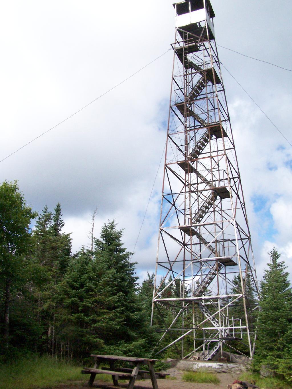
Wakley Fire Tower

An example of the first type would be the existence of a fire tower and associated structures and improvements (observer cabins, telephone lines, etc.) whose precise date of removal cannot be ascertained until the new aerial surveillance program of the Department of Environmental Conservation is fully implemented and communication systems modernized. Another example would be a private or minor public road traversing a tract otherwise suitable for wilderness designation or separating such an area from a designated wilderness. Finally, an extensive private inholding or a series of smaller private inholdings whose eventual acquisition is desirable but cannot now be provided for, might so affect a potential wilderness area as to require primitive designation.

The second type includes smaller tracts that are most unlikely to attain wilderness standards, such as a small island in close proximity to a highly developed shoreline, or larger tracts with non-conforming uses, such as a railroad or major public highway, that are essentially permanent, but where in each case the high quality or fragility of the resource requires wilderness management.
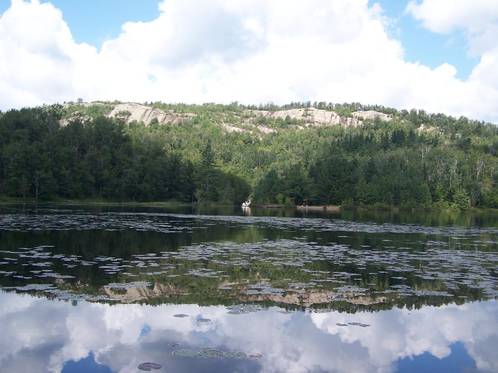
Lows Ledge

Canoe Area.

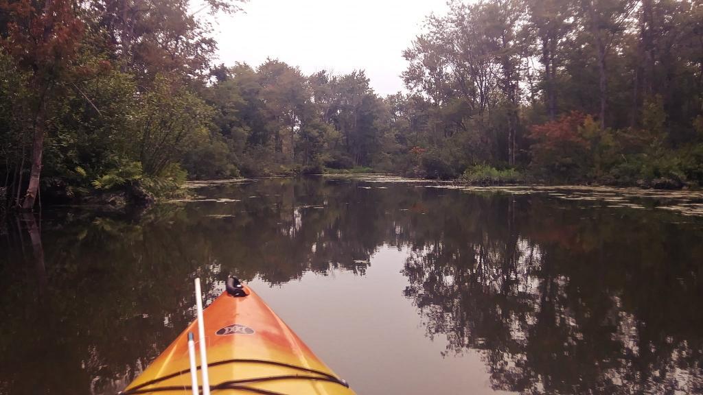
A canoe area is an area where the watercourses or the number and proximity of lakes and ponds make possible a remote and unconfined type of water-oriented recreation in an essentially wilderness setting.

The terrain associated with parcels meeting the above definition is generally ideally suited to ski touring and snowshoeing in the winter months.
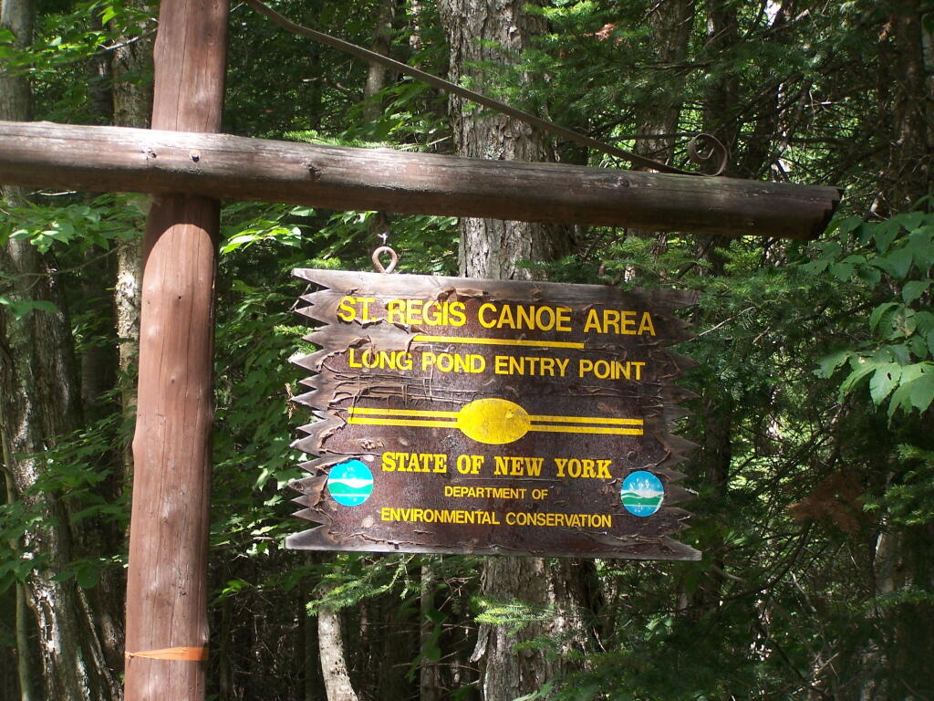
Long Pond Entrance

Winona Recreation Area

The Winona Recreation Area, aka the Winona and Jefferson State Forests has a series of informal campsites throughout it’s miles and truck trails, that are also used by ATVs and snowmobiles based on the time of the year. Known for the large amount of snow the area gets, it’s one of the most vast state parcels in the Tug Hill Plateau.

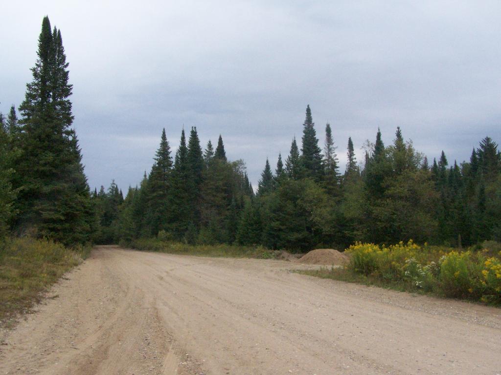
In the past I’ve camped on an undesignated site with a firepit on Bargby Road. There are other sites around, but I don’t know the area that well, and the sites ar not listed online. You might consider contacting the local Forest Ranger about getting a permit and some other ideas.

Be careful driving around here, as many of the truck trails are very rough and muddy, and you will be sharing them with ATVs in the summer season. They are real fun if you want to get some mud on your pickup truck. It’s by far one of the best places to find rough and muddy state truck trails in NY State, and tons of snow in the winter. I camped there in April 2004 (no snow), but it was cold. β€” Andy

“Over the past years, many different groups have enjoyed the use of these trails, but this has made for some difficulty in how to designate which trails would be used and for what purpose. The Western Edge Recreational Association was developed around 1995 to bring together all the users: skiers, snowmobilers, dog sledders, horse owners, hunters, bikers, and orienteering people.”

“With the melding of ideas, resources and manpower, Winona State Forest has become one of New York State’s best venues for recreation, and at the same time, provides valuable timber resources.”

“In 2005, DEC began developing a unit management plan (UMP) for Winona State Forest. A UMP must be completed before significant new recreational facilities, such as trails, camping sites, and parking areas can be constructed. The plans involve an extensive analysis of the natural features of an area and the ability of the land to accommodate public use. The DEC has primary responsibility for developing management plans for the State-owned lands. Draft plans are widely distributed for public comment and review prior to being finalized by DEC.”

β€” NYSDEC Winona State Forest.

“The Winona Forest Recreation Association (WFRA) maintains approximately 70 miles of trails in the Winona Forest and Jefferson County Forest Preserve. Both are located in the Tug Hill region of New York State. WFRA, which began as the Tug Hill Ski Club, has reorganized as the Winona Forest Recreation Association in order to include all user groups of the forest. WFRA membership consists of skiers, snowmobilers, atv riders, equestrians, mushers,snowshoers, bikers, hikers and many other outdoor sports enthusiasts. We’re not just an ordinary club!

“Winona Forest is one of the snowiest places east of the Rockies with an average snow fall of 250 inches per year! In winter, the prevailing westerly winds move cold winter air over the warm water of Lake Ontario producing massive lake effect snow falls on the Winona Forest in the Tug Hill area.”

β€” Winona Forest Recreation Association.

Barby Road 2
Tucker Road 1

Summer afternoon