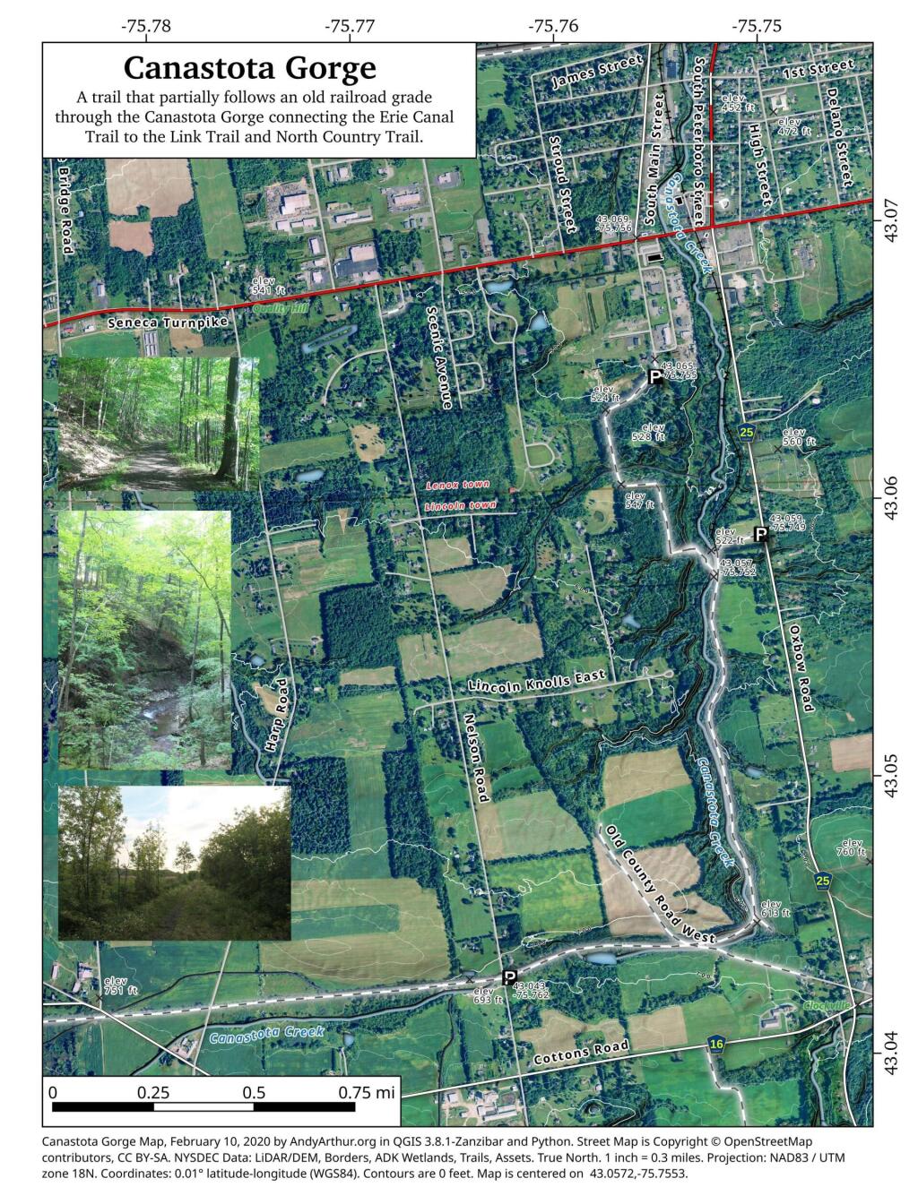
Canastota Gorge
State lands along the North Country / Link Trail that run from Canastota towards Cazenovia, along an old rail-bed. On this trail you will explore a fairly deep gorge where the Canastota Creek runs, and walk past the old Canastota Reservoir. Most of the trail runs along an old railroad bed, providing a nice leisurely stroll, with views of the gorge below.
![Untitled [Expires November 6 2024]](https://andyarthur.org//data/photo_017731_large.jpg)
![Untitled [Expires November 6 2024]](https://andyarthur.org//data/photo_017722_large.jpg)
