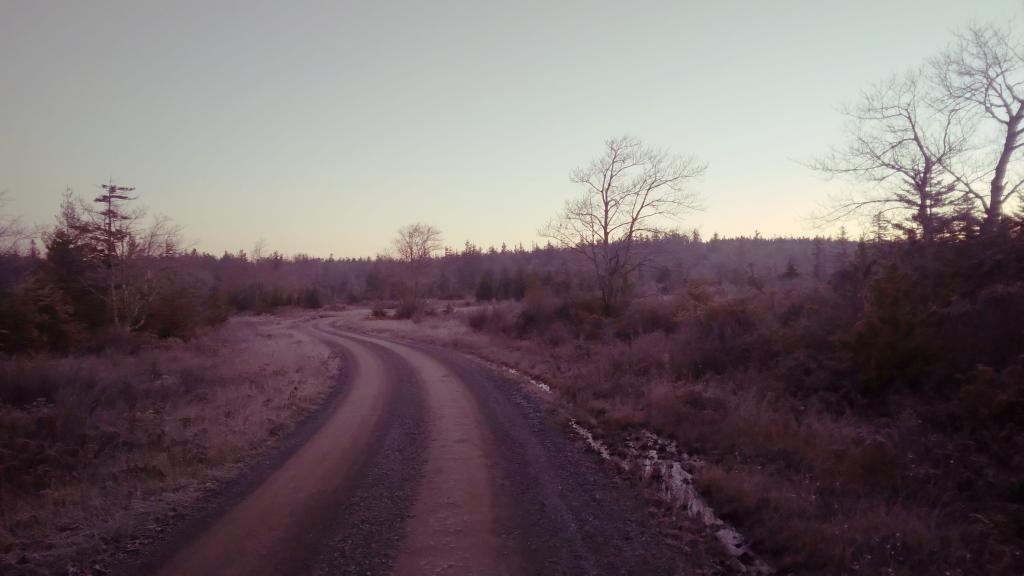
A largely undeveloped gravel bike trail outside of Thomas and Hedricks.
Most of the descend occurs in the 5 1/2 miles from Douglas, roughly 900 feet drop which works out to be an over 3% average grade, with a maximum grade of 3.75%.
It's much steeper then locomotives are engineered to safely climb, which is 2% or less, preferably less then 1.5%. It took at least two locomotives paired together climb, and heavy riding of the brakes down it and at least once in 1910s an out of control train crashed into the gorge below.
While not steep compared to many mountain roads, it's still a fun ride down and a good climb back up. Probably best done on a mountain bike, as the railroad gravel is fairly course on it
Taken on Thursday October 26, 2023 at Monongahela National Forest.
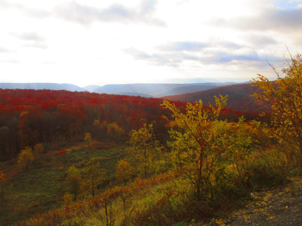
To the east from the Mount Storm Scenic Overlook, you can see Greenland Gap of New Creek Mountain and Knobly Mountain.
Greenland Gap gets name from as there is band of rich agricultural land below those ridges, and it is very green with farm fields once you drop out of the mountains.
Taken on Saturday October 28, 2023 at Mount Storm.
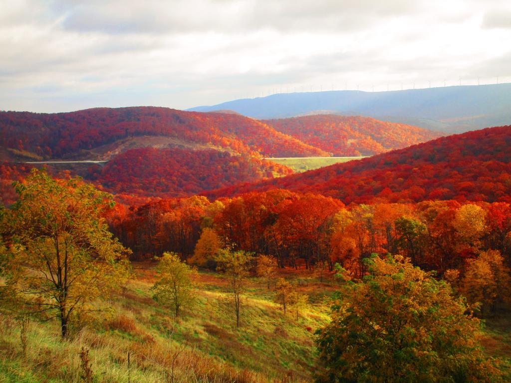
Heading down the Allegheny Front from Mount Storm, Corridor H has a parking area that offers fantastic views of the Fore Knobs, New Creek Mountain and the area around Scheer.
Taken on Saturday October 28, 2023 at Mount Storm.
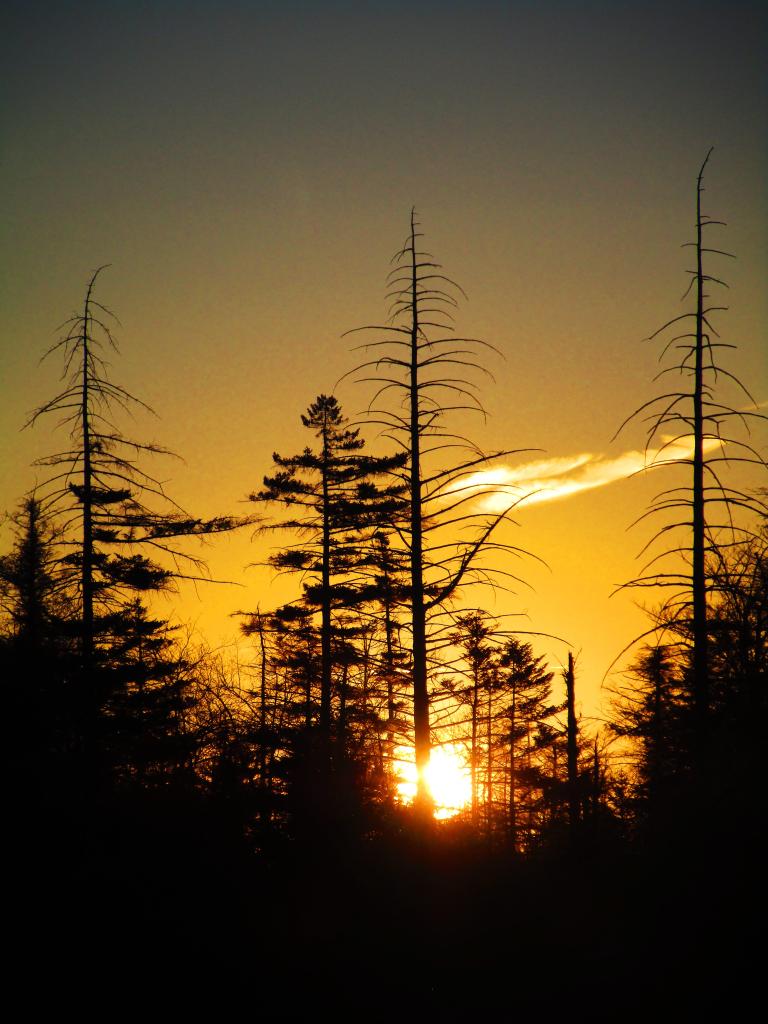
Got up early several mornings in National Forest to watch the sun rise. Not such a cold morning this day but still the sun felt good on my face.
Taken on Thursday October 26, 2023 at Monongahela National Forest.
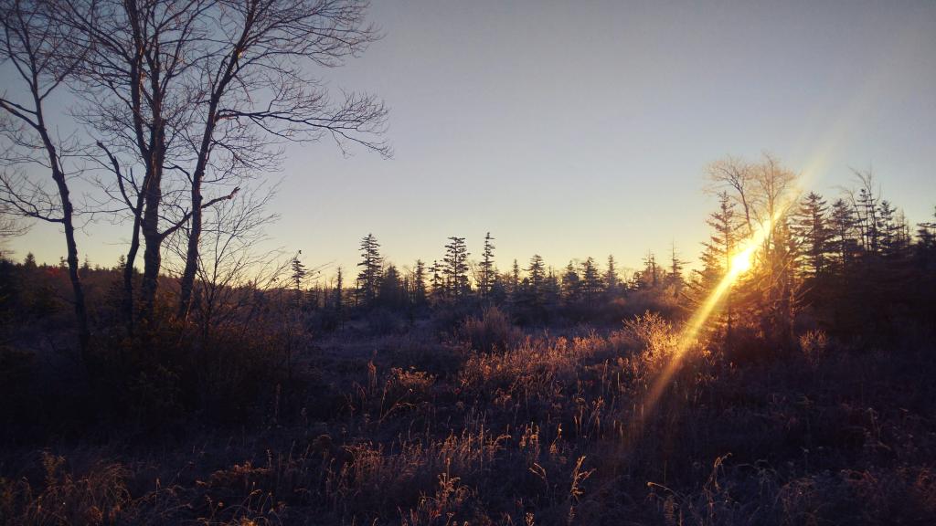
It was a very frosty morning to start out my first day camping up at Canaan Heights. It's been significantly colder there this year a few days compared to Albany, which is why most of the leaves are gone in the high country.
Taken on Monday October 23, 2023 at Monongahela National Forest.
The first morning camping at Monongehella National Forest was rather frosty to say the least! I think it got down into the low 20s, much cooler then it's been so far back in Albany
Taken on Monday October 23, 2023 at Monongahela National Forest.
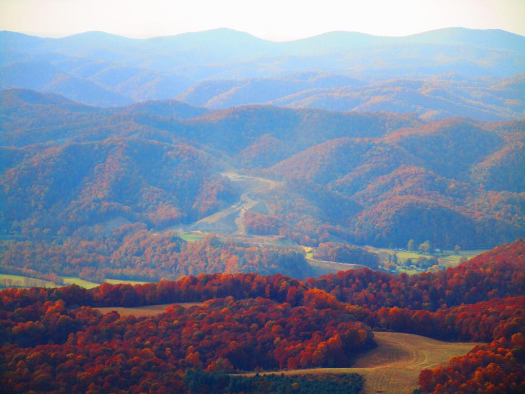
As seen from the Olson Firetower, they are blasting Corridor H through the mountains from Kearns to Parsons.
The new superhighway, when fully built out from I-66 in Stratsburg, VA will take hours off the drive to I-78 in Weston WV, unlocking both the wilderness areas and natural areas of the northern part of state to thousands from Washington DC and Pittsburgh Penna, but it's not without controversy.
For one, it's expensive to blast through mountains and build many bridges hundreds of feet above the valleys below, and only comes at the troughs of federal largess. And it's not even built up to full interstate standards, with many at-grade intersections due to enormous cost of the highway, one of most expensive per mile currently under active construction nationwide.
Second, several sections are very controversial, such as whether to build the road north or south of Thomas. The southerly route is much shorter, but it would cross the North Fork of Blackwater Canyon, significant wetlands and the Coketon Historic-area, once an African American village -- and risks spilling millions of gallons of acid mine discharge into the river. But the northerly route is miles longer, steeper and much more expensive to build. Likewise, VA DOT has opposed the extension through Virginia, despite being on WV Maps. State DOTs ultimately have final say if interstate highways are constructed, if they don't request funding, people will continue to have to get off onto a narrow, steep, twisty road at the state line.
Plus, the existing portions of the expressway are bringing record numbers each year of tourists to northern WV, on narrow, twisty local roads with limited parking, and parks and wilderness areas not prepared to deal with that kind of traffic especially during peak summer and autumn seasons.
Taken on Thursday October 26, 2023 at Monongahela National Forest.

