Warren County
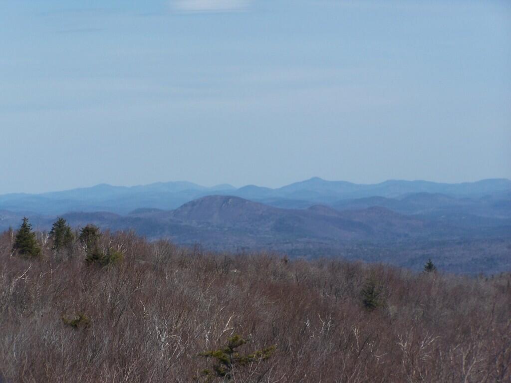
Looking North
Looking North from the Hadley Mountain Firetower, towers Baldhead Mountain, Burnt Mountain, Moosehead Mountains.
Taken on Friday April 17, 2009 at Hadley Mountain.Stones in East Stony Creek
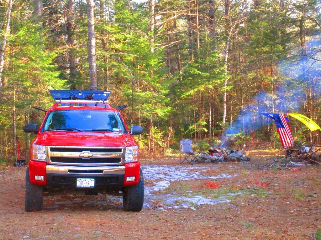
Red
Evening camping along the East Branch at Campsite 5 after the dusting of snow had melted away. It was sunny but at cold afternoon.
Taken on Saturday April 18, 2020 at East Branch Sacandaga River.Cod Pond
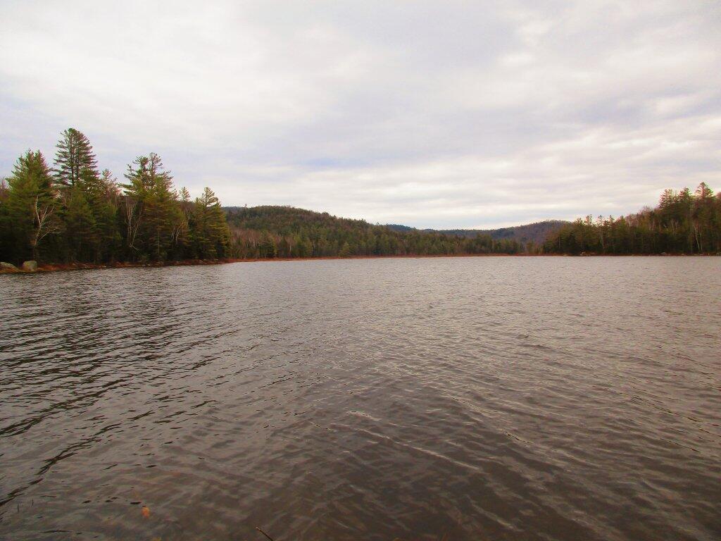
Looking across Cod Pond out into the Wilcox Lake Wild Forest.
Taken on Sunday April 19, 2020 at Cod Pond.Snowmobile Trail Crosses Into Marshes
This is as far as I got on the Stewart Creek Trail. Despite wearing my muck boots I thought this seemed a little more soggy then I was prepared to get in the mud.
Taken on Sunday April 19, 2020 at Stony Creek.Flatwater
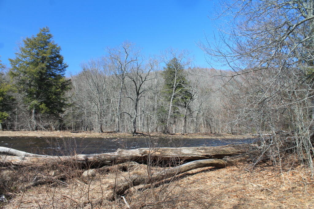
Below the chute on Stewart Creek is another large flatwater, but this one is a lot narrower and less marshy.
Taken on Sunday April 19, 2020 at Stony Creek.


