Warren County

Warren County is a county in the U.S. state of New York. It is part of the Glens Falls, New York, Metropolitan Statistical Area. As of the 2010 census, the population was 65,707. It is named in honor of General Joseph Warren, an American Revolutionary War hero of the Battle of Bunker Hill.The county seat is Queensbury.

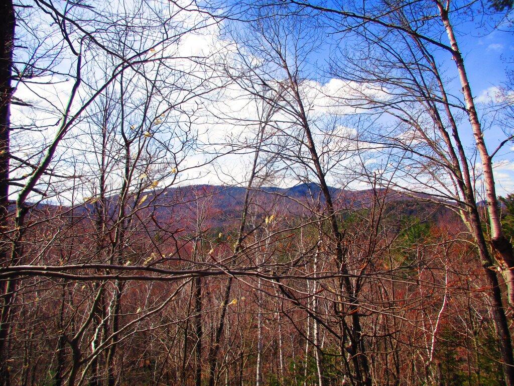
According to the U.S. Census Bureau, the county has a total area of 932 square miles (2,410 km2), of which 869 square miles (2,250 km2) consists of land and 62 square miles (160 km2) (6.69%) consists of water. Warren County is situated in the eastern portion of New York state; the eastern border is Washington County. Being located in the Adirondack Mountains, it is not uncommon for mountain peaks to surpass 2,000 feet (610 m). The highest peak in the county is Gore Mountain at an elevation of 3,198 feet (975 m).

http://en.wikipedia.org/wiki/Warren_County,_New_York

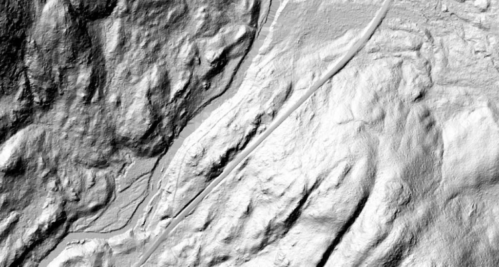
Fox Lair – LIDAR Surface Image

Foxlair was the sweeping wilderness estate owned by the legendary cosmetics magnate Richard Hudnut that is now forest preserve. I've explored the ruins many times, and was curious to see how much of the old stairways and ruins from the LIDAR digital terrain models, but unfortunately the resolution isn't quite high enough to get a clear outline of the old estate. But you can definitely still see the outline of the old road and how bigger the modern NY 8 is today.

See also:


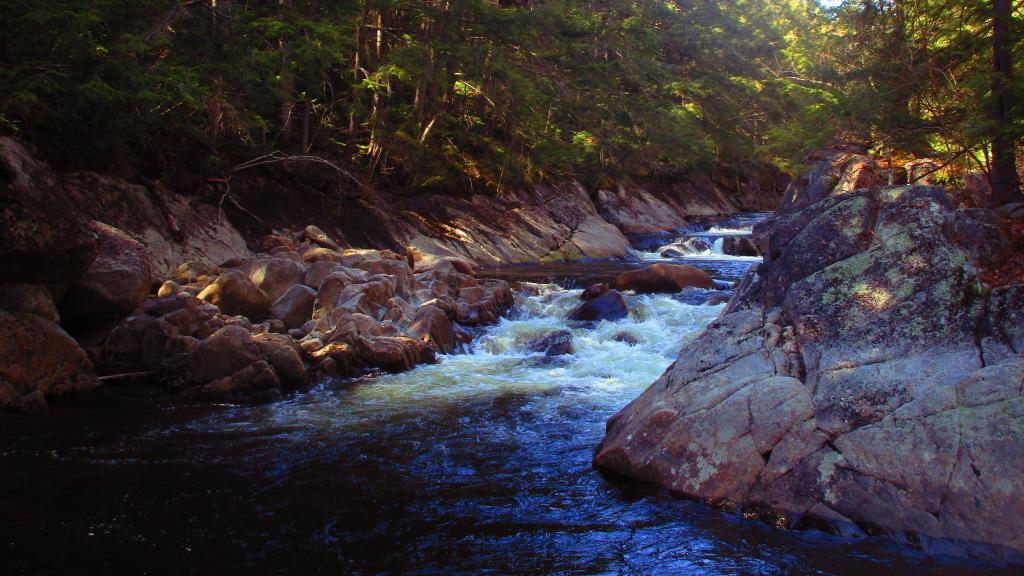
Taken on Monday May 2, 2022 at East Branch Sacandaga River.

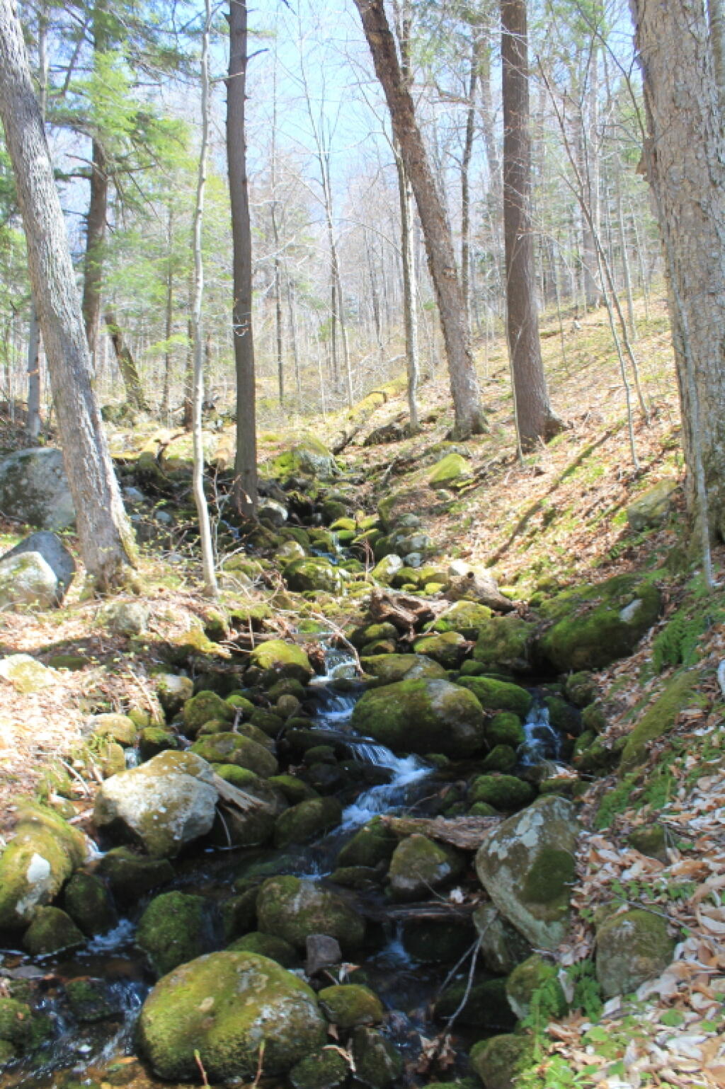
Upper Tenant Creek Falls

First time I've ever been up to Upper Tenant Creek Falls. While this used to be a just a herd path along the river bed, in recent years it's become a well-blazed trail mostly out of the river bed. Small but pretty falls.

Taken on Saturday April 24, 2021 at Tenant Creek Falls.

Kiln

Saturday evening I poked around the old Fox Lair Estate. One of the things I found was a couple of kilns including this one from the tannery, I believe.

Taken on Saturday May 2, 2020 at East Branch Sacandaga River.

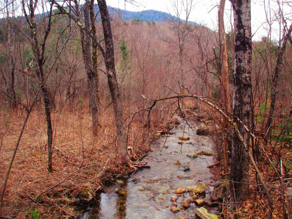
Tenant Creek ATV Trail

This is beyond the forest preserve boundary, somewhat past the end of the official blazed Tenant Creek Trail, following a herd path. Not sure if this even is a public road, it doesn't appear on the SAM (state address management) map, but is on some topographic maps.

Taken on Saturday April 24, 2021 at Tenant Creek Falls.