Center Of The Adirondack Park
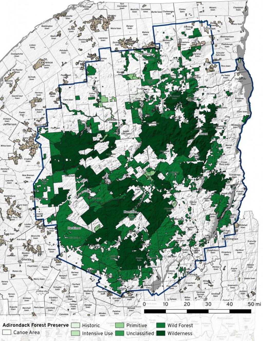
The absolute center of the Adirondack Park (centroid) is 43.95039680083595, -74.283820885915 according to the shapefile put out by the Adirondack Park Agency of the Blue Line, which is on the northern shoulder of Fishing Brook Mountain, south of Winfall Mountain in the Town of Minerva (barely, just the corner that reaches up there).
https://mapper.acme.com/?ll=43.95039680083595,%20-74.283820885915
The point of inaccessibility (greatest distance from any part of the border) is about 3 miles south-west of that point at 43.88007470563294, -74.32116420377541, which is the about 1/3rd of the way up the south flank of Dun Brook Mountain in Town of Blue Mountain Lake.
https://mapper.acme.com/?ll=43.88007470563294,%20-74.32116420377541


