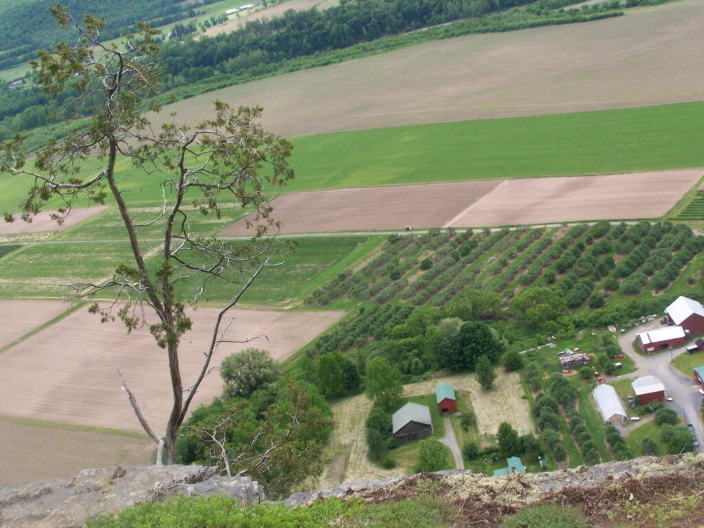
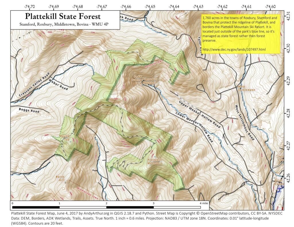
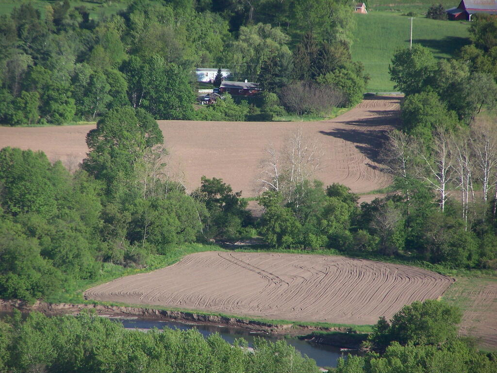
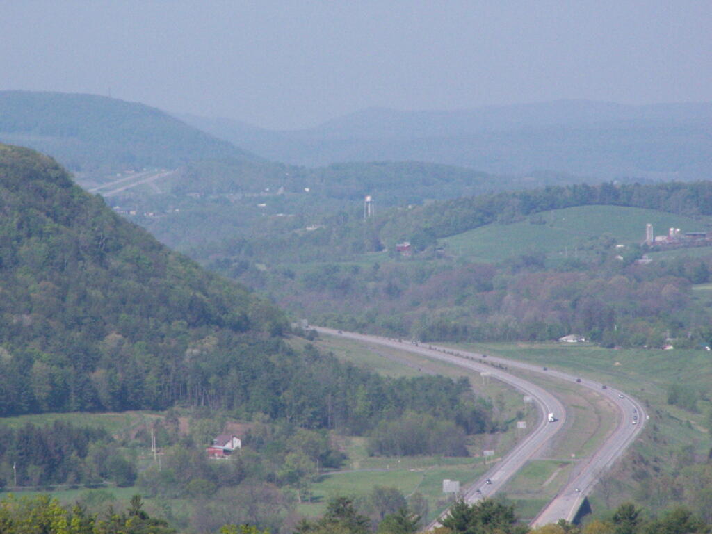
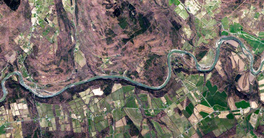
I posted a 3D model of Schoharie Valley looking north towards the Adirondacks. Recognizing that people may want a more detail exploration, check out this interactive map of land use in Schoharie Valley. You can scroll it north to Mohawk Valley or zoom in further detail.
Fighting off the black flies and clouds, I decided to camp two weekends ago at Duck Pond at the Burnt-Rossman Hills State Forest outside of Blenhiem, NY.
Most of the Schoharie Creek follows farm fields and rich soils. But there is a section near the Lost Valley State Forest that runs through a deep gorge cut through the hills between the Schoharie Valley and Mohawk Valley.
