Rain Is Coming
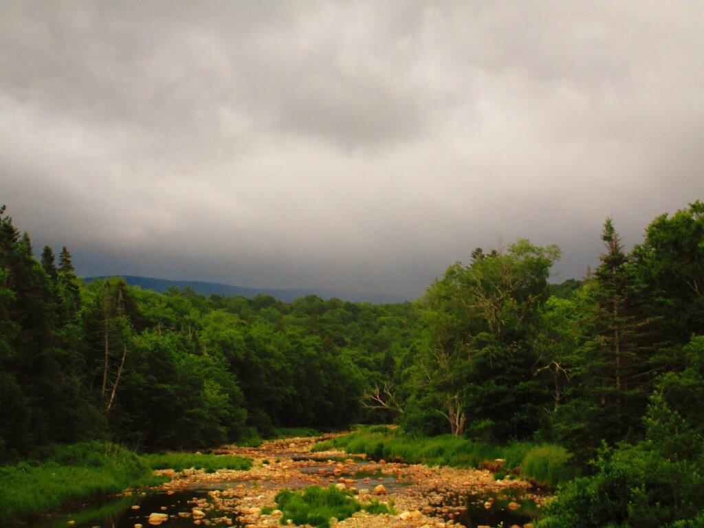
Before I left for home, the skies started to become very threatening for rain.
Taken on Friday July 10, 2020 at Green Mountain National Forest.
Before I left for home, the skies started to become very threatening for rain.
Taken on Friday July 10, 2020 at Green Mountain National Forest.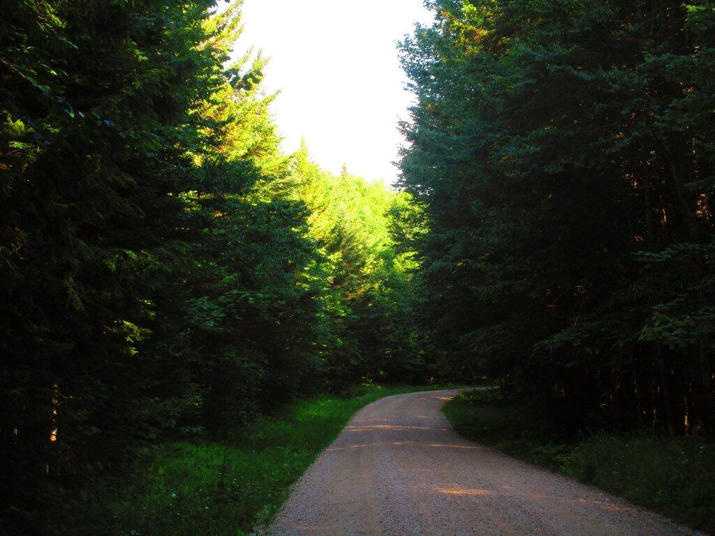
Last Monday, I went for a nice stroll along Forest Road 71. It's a nice road to drive but some of those long hills can be tiring to walk.
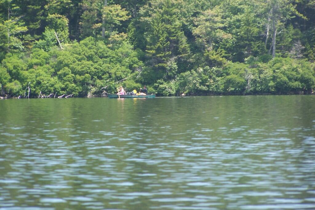
Taken on Monday July 6, 2020 at Green Mountain National Forest.A look at Stratton Pond, which is on the outskirts of the Lye Brook Wilderness in the Green Mountain National Forest.

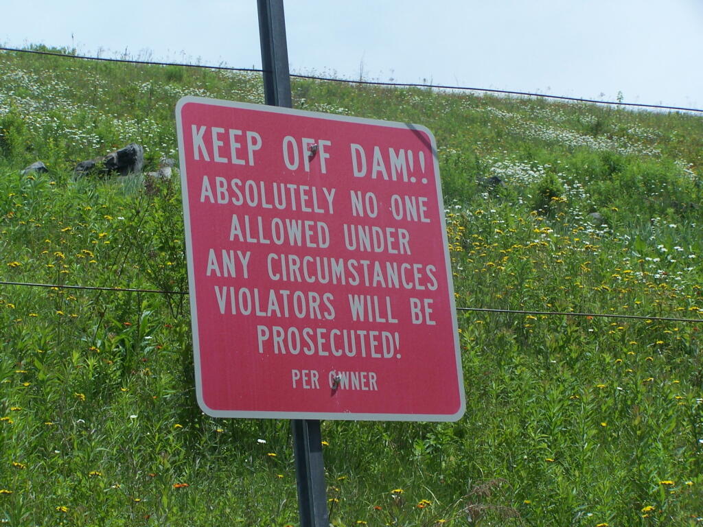
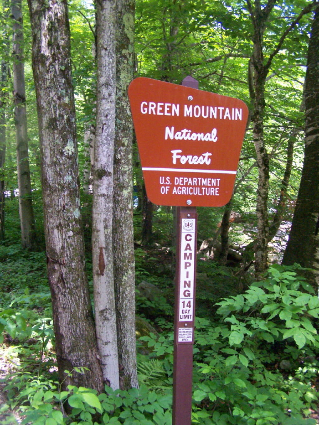
After hitting a lot of traffic and delays, I finally made it to the Green Mountain National Forest on Kelley Stand Road. A small sign, in part because the road is narrow, as it winds between the mountains.
Taken on Saturday June 18, 2011 at Kelley Stand Road.