Kelley Stand Road
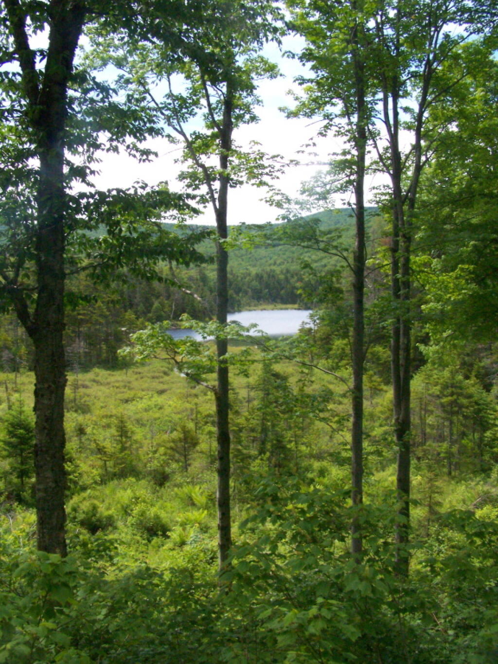
As passes Beebe Pond.
Sunday June 19, 2011 — Kelley Stand Road
As passes Beebe Pond.
Sunday June 19, 2011 — Kelley Stand Road

There are campsites along here, right on the Roaring Branch of the Battenkill, below Whetstone Bluff.
Saturday June 18, 2011 — Kelley Stand Road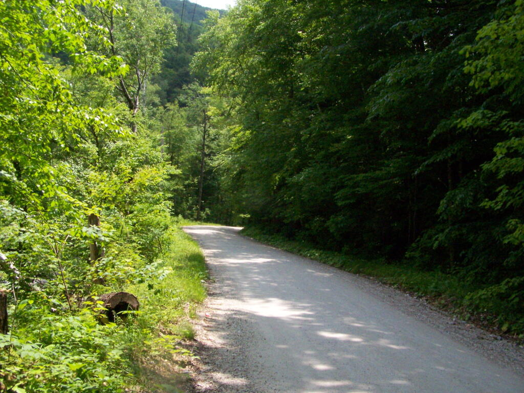
After they spent millions rebuilding Kelley Stand Road after Hurricane Irene, including blasting it out of the mountain, it's still a narrow, tight, and steep road. I guess that's the charm of it, but gawd, that one turn onto the bridge across the Roaring Brook is awful tight for anything but a compact car.
In other words, drive this in the winter if you want to die in the winter.
Saturday June 18, 2011 — Kelley Stand Road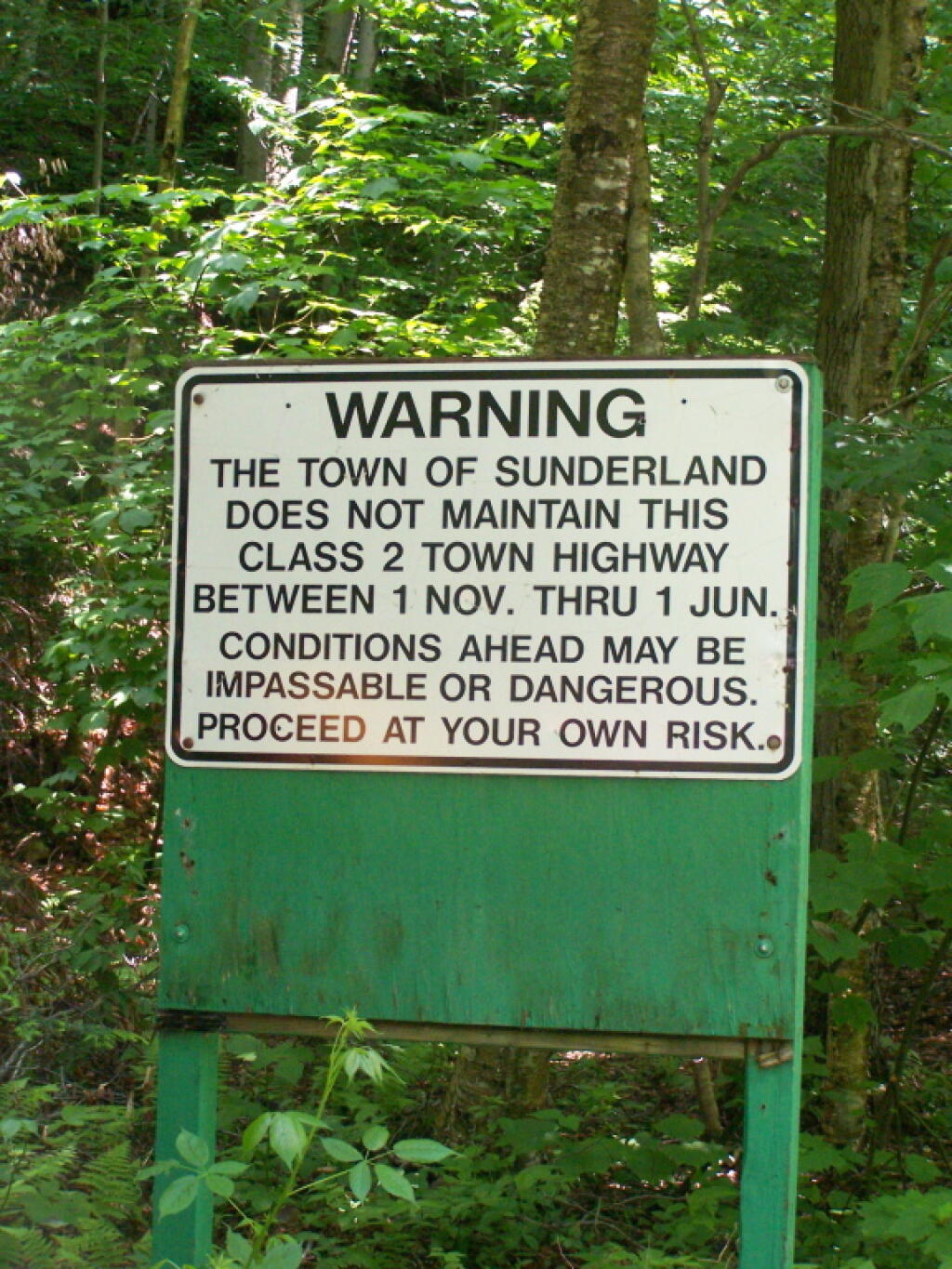

It is a remarkably scenic pond, with good fishing I've heard.
Sunday June 19, 2011 — Kelley Stand Road