Ulster County

Ulster County is a county located in the state of New York, US. It sits in the state’s Mid-Hudson Region of the Hudson Valley. In the 2010, the population was 182,493.

Ulster County is in the southeast part of New York State, south of Albany, immediately west of the Hudson River. Much of the county is within the Catskill Mountains and the Shawangunk Ridge. Ulster County has Minnewaska State Park, Mohonk Preserve, Sundown State Park, VerNooykill State Forest, Witches Hole State Forest, and Shawangunk Ridge State Forest and Sam’s Point Preserve, which includes rare dwarf pine trees and VerKeerderkill falls.

The highest point is Slide Mountain, at approximately 4,180 feet (1,270 m) above sea level. The lowest point is sea level along the Hudson River.

According to the U.S. Census Bureau, the county has a total area of 1,161 square miles (3,010 km2), of which, 1,126 square miles (2,920 km2) of it is land and 34 square miles (88 km2) (2.9%) of it is water.
The New York State Thruway Interstate 87 runs north–south through the county, carrying traffic to and from New York City and its surroundings.

http://en.wikipedia.org/wiki/Ulster_County,_NY

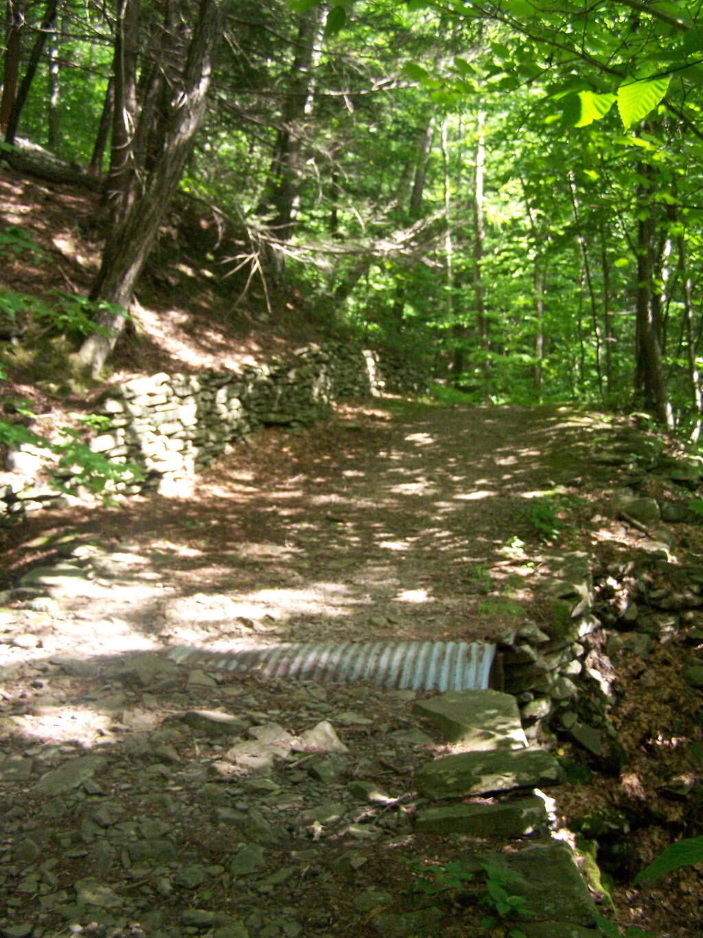
Stone Culverts

The first part of the trail has these stone culverts to cover ditches, pre-age of the stainless ones. Bigger creeks are crossed by log bridges, most of which have rotted away.

Taken on Monday July 13, 2009 at Ashokan High Point.