A Break in the Rain?

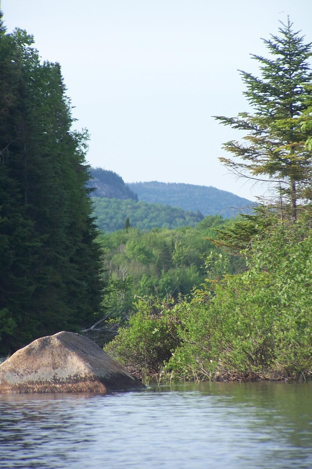
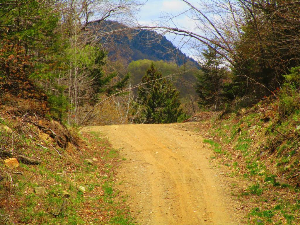
Most of Robb Creek Road is pretty flat, but when you get to the end, the road leaves the creek and starts to climb across mountainous terrain.
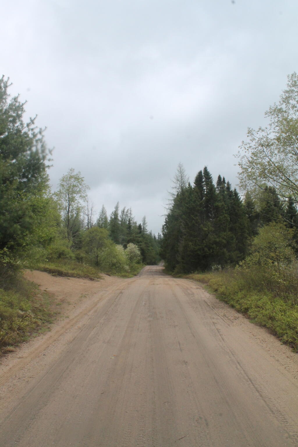
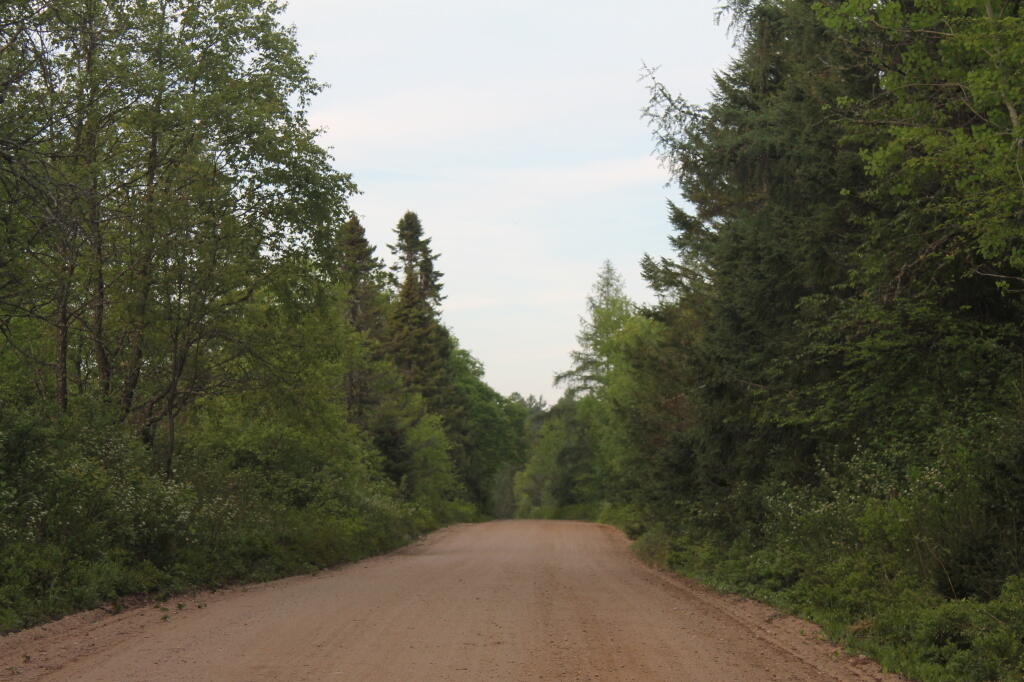
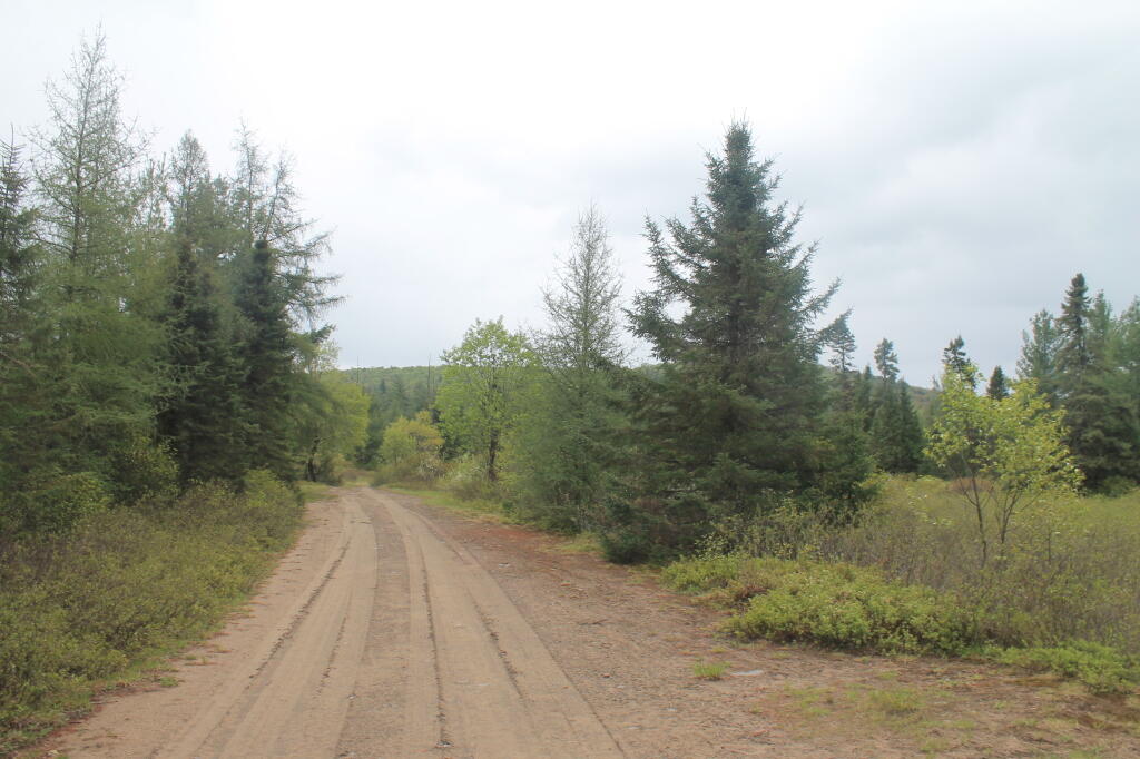
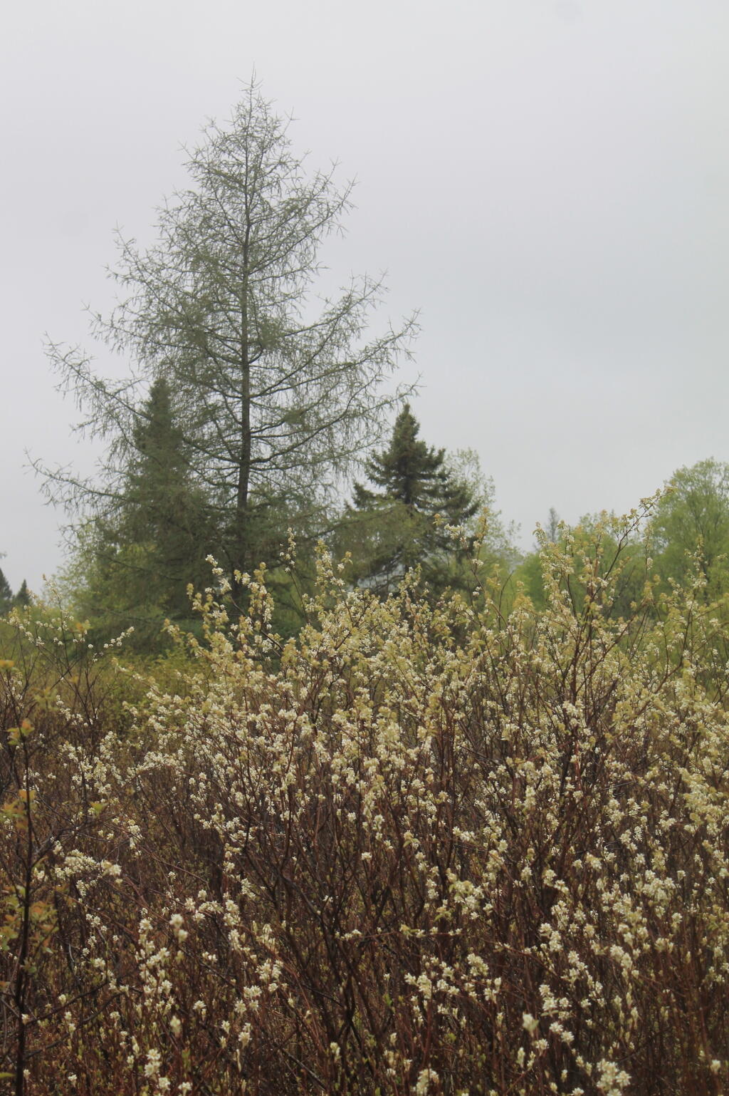
Taken on Saturday May 15, 2021 at Perkins Clearing and Speculator Tree Farm Conservation Easement Lands.