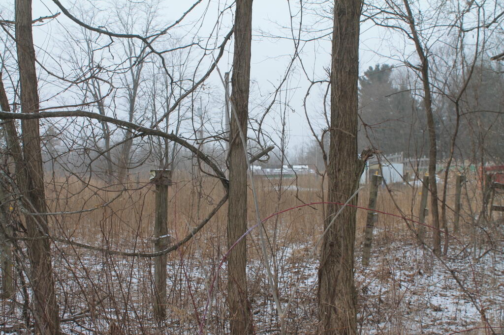
Bulldozing the Albany Pine Bush
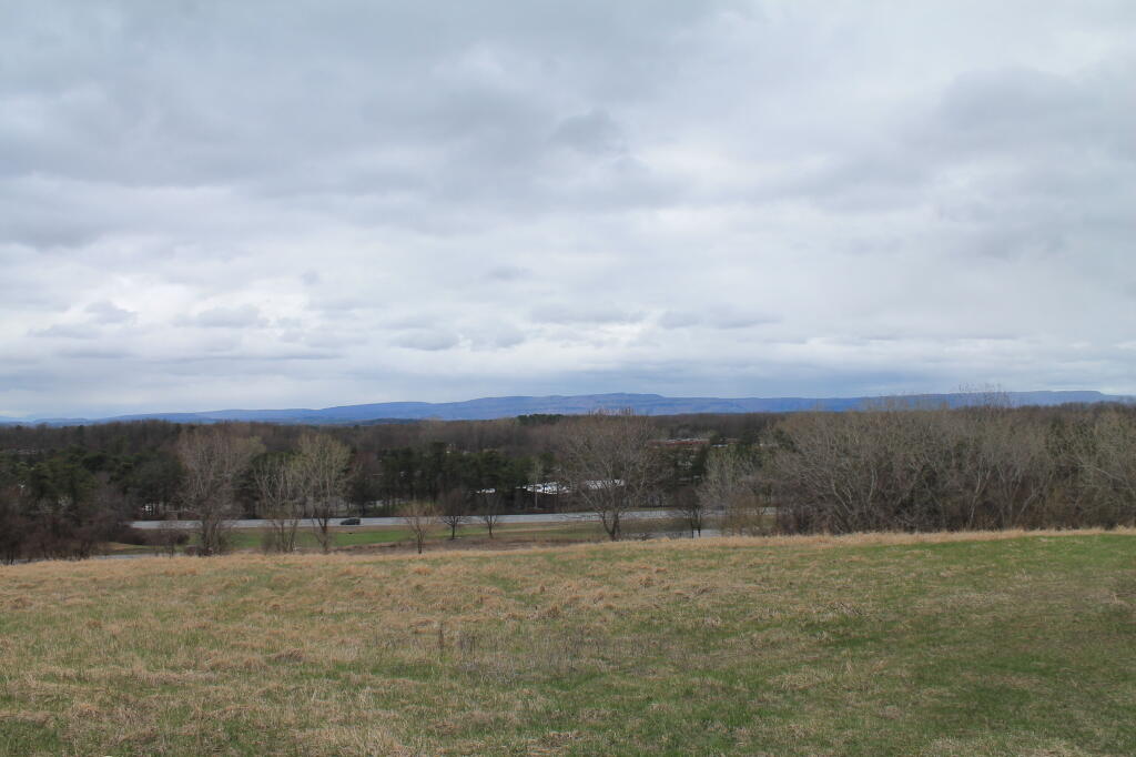
Looking South East
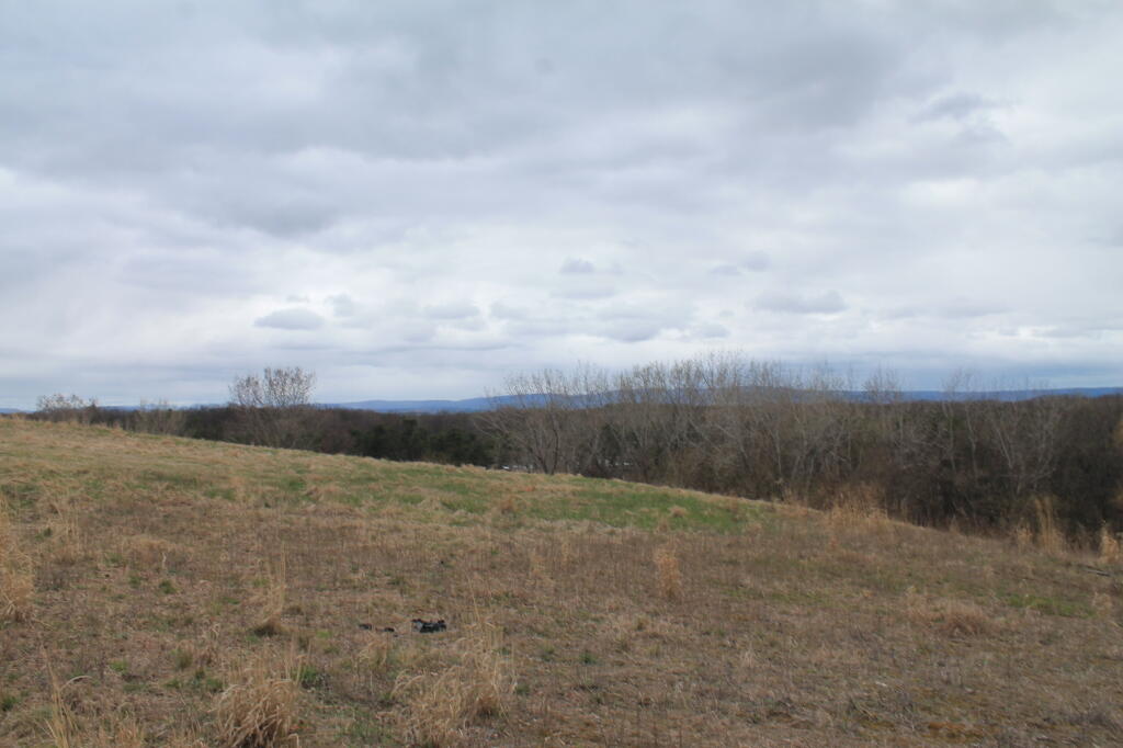
Heading Up the GAL
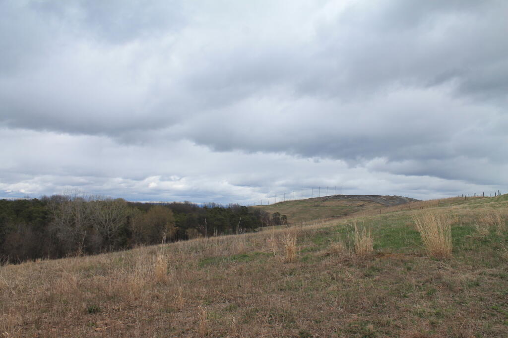
With the Rapp Road Landfill in the distance
Taken on Sunday April 27, 2014 at The GAL.They Paved Paradise and Put Up a Parking Lot
 A few months ago I stumbled across this photo on the AlbanyGroup on Flickr. It is of the Northway Exit 1, shortly after it was constructed in the mid-1960s, prior to construction of Crossgates Mall.
The the Pine Bush at that time seems largely wild, although there are some newer housing subdivisions in the distance. The Northway and Thruway Interchange seem somewhat out of place, and once can only imagine what these wild lands must have looked like before these superhighways were overlaid over this area that once was mostly dirt roads, the wilds at the outskirts of the city.
Within a decade, much of this land would be filled in with Washington Avenue Extension’s many strip malls and Crossgates Mall. These wild lands would be lost, at least temporarily to parking lots, suburban office buildings, and shopping centers.
Similar scenes can be seen across more rural portions of New York. What happened in the Albany Pine Bush can happen anywhere.
Look now and speak up before it’s gone.
An old-1960s photo of the Northway and Rensselaer Lake reminds us what the Pine Bush looked like before it's heavy development, and is a warning for future generations.
Development at Crossgates Commons
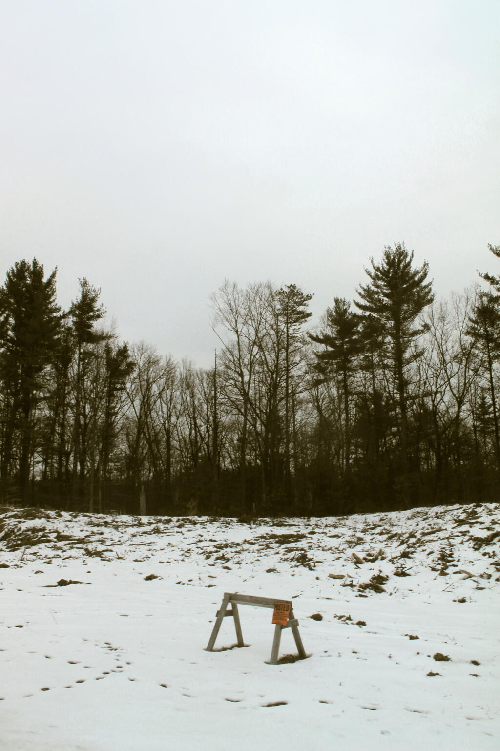
No Tresspassing – Serifini Land
Stables Housing Development Parcel
This land that should remain wild is proposed for yet another housing development.
Taken on Friday April 12, 2013 at Bulldozing the Albany Pine Bush.