Greene County
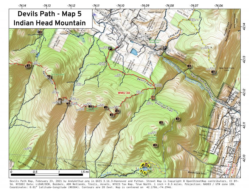
Devils Path – Map 5 Indian Head Mountain
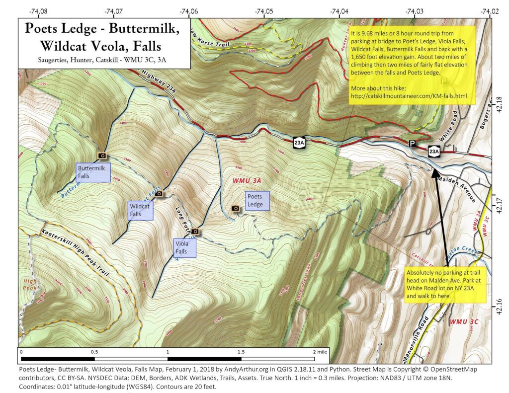
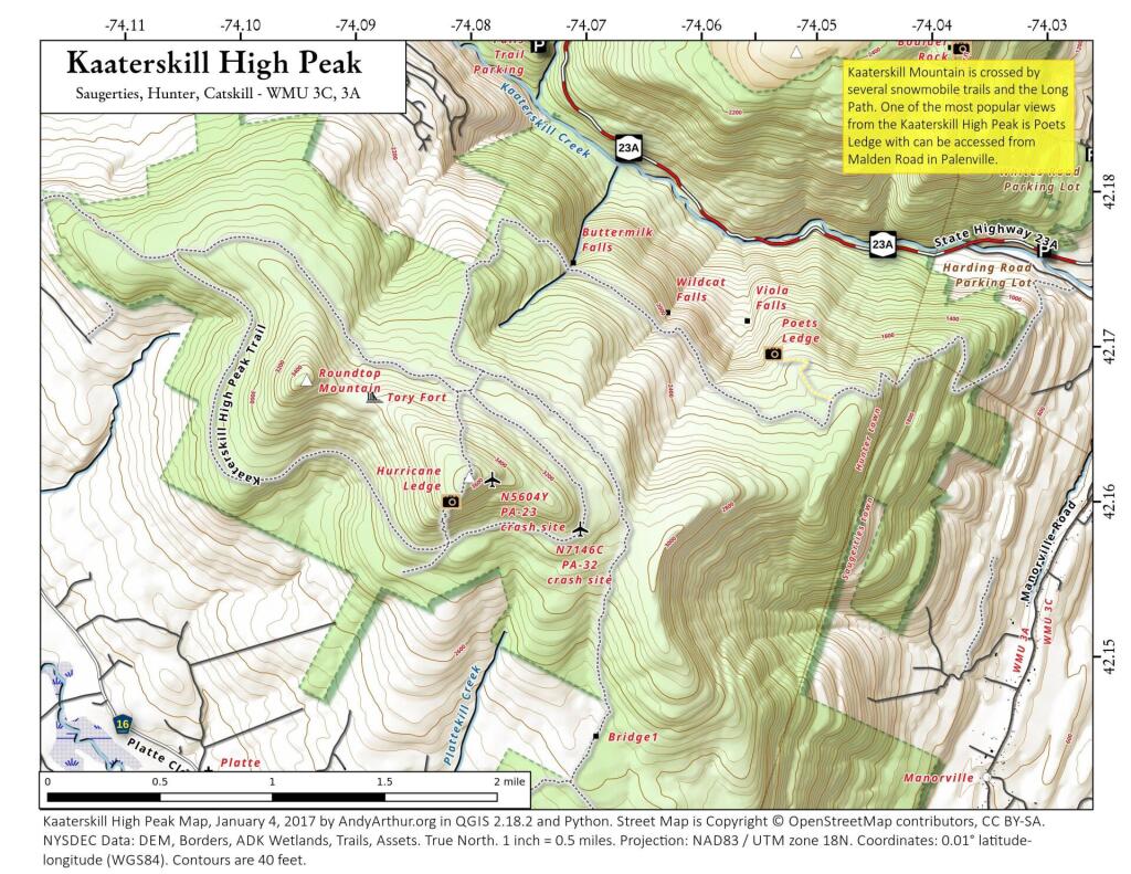
Poets Ledge and Buttermilk, Wildcat, Veola, Falls
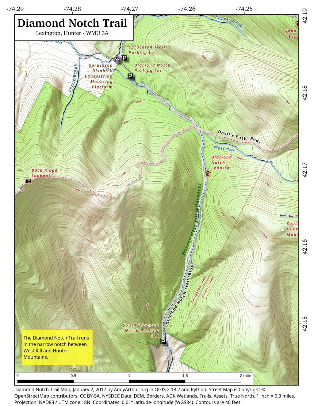
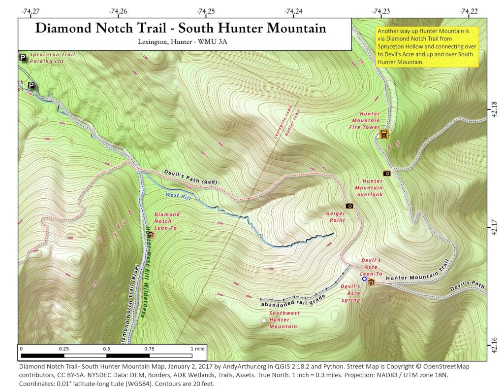
Diamond Notch Trail
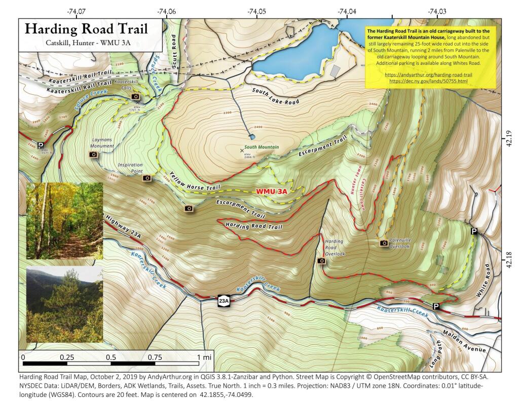
Harding Road Trail
42.18554842244448,-74.04986937916372
The Harding Road Trail is an old carriageway built to the former Kaaterskill Mountain House, long abandoned but still largely remaining 25-foot wide road cut into the side of South Mountain, running 2 miles from Palenville to the old carriageway looping around South Mountain. Additional parking is available along Whites Road.
https://andyarthur.org/harding-road-trail
https://dec.ny.gov/lands/50755.html
Kaaterskill High Peak
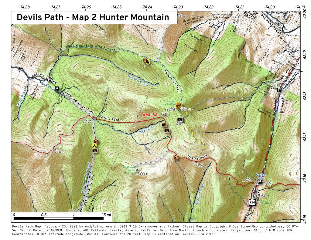
Diamond Notch Trail – South Hunter Mountain
Another way up Hunter Mountain is via the Diamond Notch Trail to Devils Path to the South Hunter - Hunter Mountain connecting trail. I've never gone up this way, as it's pretty out of the way, but might be an interesting way to go up the mountain some day.
