Greene County
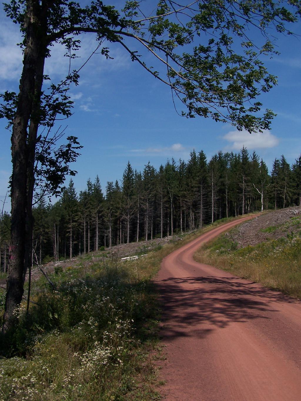
Red Dirt Road
This is the spur off the main DEC Road up and over South Mountain. It leads part of the way up Richmond Mountain before it peters out to a logging road. Notice how the DEC has clear cut this area.
Taken on Saturday August 28, 2010 at Ashland Pinnacle State Forest.White Birch and White Pine Logged
You can see where they have clear cut this section, just above the hairpin turn. They took the wood they wanted, and left a lot of logging trash for critters to live in until a new forest grows on up.
Taken on Saturday August 28, 2010 at Ashland Pinnacle State Forest.Along the Long Path
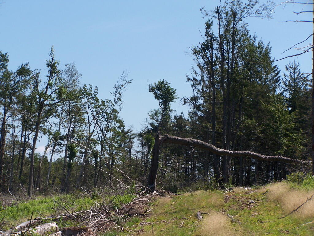
This is up on the ridge of South Mountain, below Ashland Pinnacle. The trail was hard to follow through this section, as a lot of trees that had blazes on them where long fallen, although for a while the trail followed the log haul road.
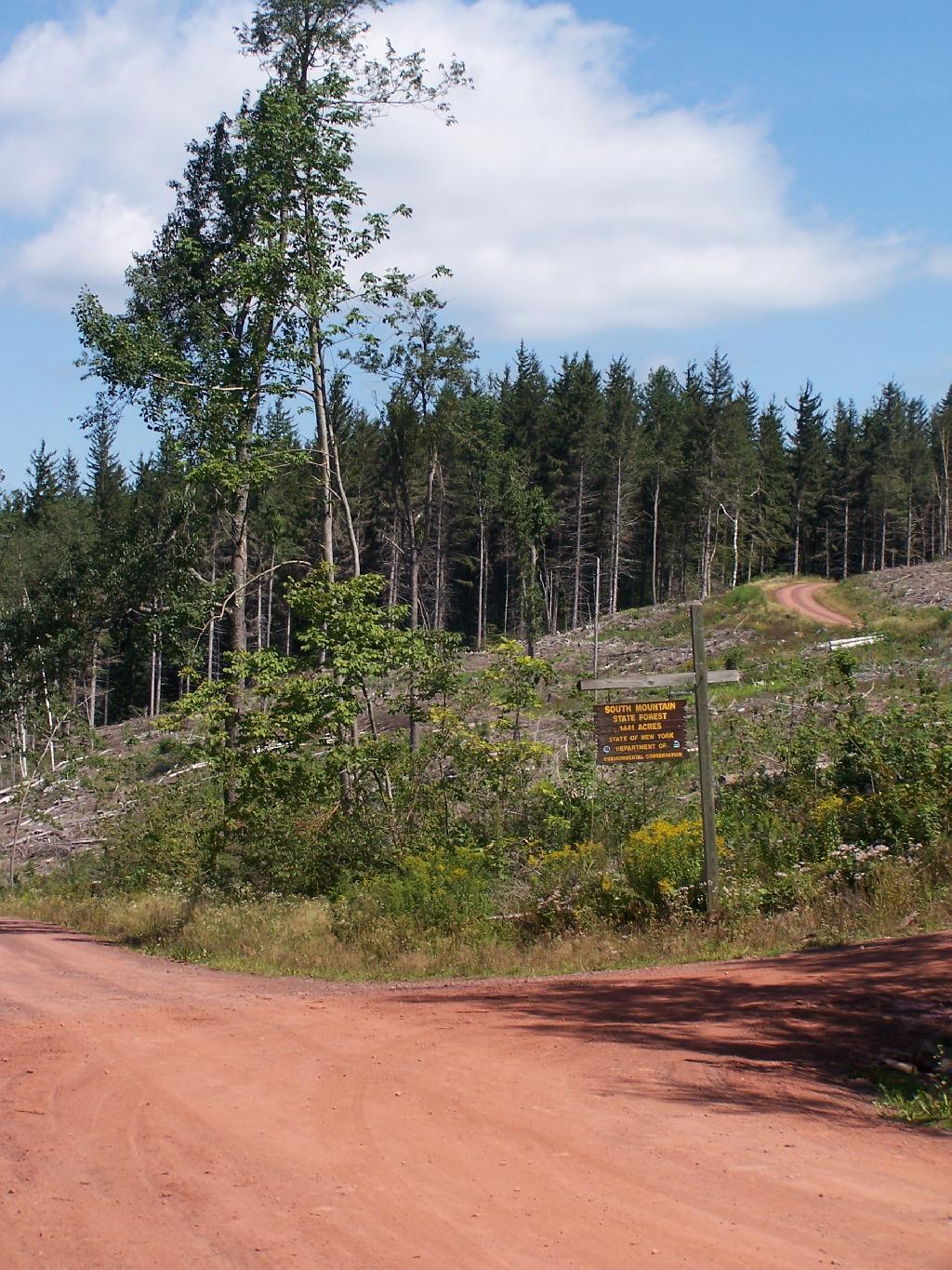
Taken on Saturday August 28, 2010 at Ashland Pinnacle State Forest.South Mountain State Forest Sign
Looking around and exploring the area, showing the big clear cut between South Mountain Truck Trail, and spur up towards Richmond Mountain.
Taken on Saturday August 28, 2010 at Ashland Pinnacle State Forest.Following the Long Path Thru a Clear Cut
There is a long path marker on the haul road and buffer between clear cut zones, but following it through all that logging trash was a pain, as all the markers where gone, and trail was rough. I lost the trail, then later found it again. Yet I decided to turn back, when I found the rest of the trail was all grown over and the markers where faded. A lot of the land up on Huntersfield Mountain Range is private, and I did not want to be trespassing.
Taken on Saturday August 28, 2010 at Ashland Pinnacle State Forest.Long Path Along the Haul Road
This portion of the Long Path was a little easier to follow, due to be along the log haul road, but there still was relatively few markers. Just past here, I turned back, as it was too difficult to follow, and it was getting late, having spent so much time looking for the trail.
Taken on Saturday August 28, 2010 at Ashland Pinnacle State Forest.


