
Roadside Lupine

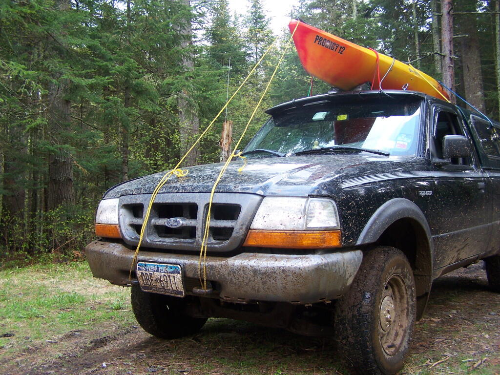
Did I mention that Moose Club Way was awful muddy? Fun though. I wish I had remember to top off the windshield washer fluid first though. The kayak road perfectly fine on the roof, tied down with bungees and ropes, despite the rough truck trail.
Taken on Saturday May 21, 2011 at Vanderwhacker Mountain Wild Forest.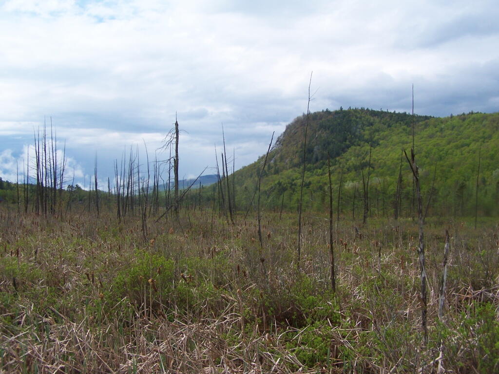
A marsh, looking south-west from Minerva towards North Creek.
Taken on Saturday May 21, 2011 at Vanderwhacker Mountain Wild Forest.This code will download ground-level LIDAR digital elevation model, the best available, for any part of state when you supply it with a shapefle. It queries the rest server with the dem indexes, and then downloads the relevant files, and joins them into one image.
library(tidyverse)
library(sf)
library(raster)
library(arcpullr)

shape_to_download <- read_sf('/path/to/shapefile_of_area_to_download.shp')

lidar.url <- tibble()

for (i in seq(2,14)) {
  if (nrow(lidar.url) == 0)
    lidar.url <- get_layer_by_poly(str_c('https://elevation.its.ny.gov/arcgis/rest/services/Dem_Indexes/MapServer/',i),
                                            shape_to_download, sp_rel='intersects'
    )
}

# download and merge all lidar titles that intersect
map(lidar.url$DIRECT_DL, \(x) {
  lidar.file <- tempfile(fileext = '.tif')
  download.file(x, destfile = lidar.file)
  lidar <- rast(lidar.file)
}) %>% sprc %>% merge %>% writeRaster('output.tif')