Essex County
Moriah
I Should Think About Exploring the Hammond Pond Area More.
I really should think about exploring the Hammond Pond Area … 🌲🚶
I rarely get up that way in the Adirondacks because I don’t like driving on the Adirondack Northway, but there could be a lot to explore up that way, even if they’re isn’t the roadside camping nearby — unless I head back along Boreas Road and camp at one of sites along Boreas Road or NY 28N. That might actually be fun and hike the Roosevelt Truck Trail the next day.
It looks interesting to hike back to Berrymill Flow and Moose Mountain Pond. I could stay at the lean-to there or in my hammock overnight, once Black Fly Season is done. None of those hikes look particularly strenuous, and I think because they’re not mountain tops and are in remote country, they’re probably not super popular either. I would like to spend more time in the remote country, and with my rechargable lantern and battery pack, I probably wouldn’t need a big heavy lantern, and during the summer months could pack lightly, possibly without a big heavy pack frame — or at least not so heavily weighted down.
Bald Peak ?
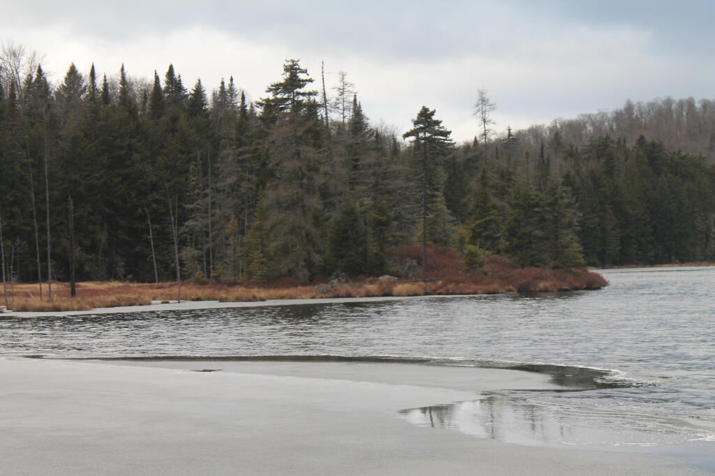
Rankin Pond is Freezing
Photo.2012.12.04 14.48.18
More Adirondack rails considered for recreation – Adirondack Explorer
Two connected railroad corridors, long mired in uncertainty, inched closer to a potentially recreational future in the past two months.
In October, New York State reached an agreement with Saratoga & North Creek Railway (owned by Iowa Pacific Holdings of Chicago) seeking a “voluntary abandonment” designation of the line that runs from North Creek to the old Tahawus mine in Newcomb. Then in November, the Warren County Public Works Committee voted 9-2 to begin the abandonment process for the 40-mile stretch of tracks the county owns from North Creek south to Hadley. Warren County also owns the land beneath the tracks. The voluntary abandonment, which has to be approved by the federal Surface Transportation Board (a process that takes about six months), frees the state, counties and municipalities involved to explore other uses for the corridor besides freight and passenger rail.
I think it would be really neat if they converted the Vanderwhacker Railroad line into a bicycle and snowmobile trail. While they can't undo the rail-bed permanently laid, they can take advantage of it to make it easier for people to hike back or bicycle and explore the wilderness during all seasons. Moreover, climate change, leading to less snow, it's increasingly difficult to have snowmobile trails with tracks under the snow. Maybe eventually they could also open it up to seasonal ATV or UTV use, although that's probably a bit of stretch for New York. Plus I think it would be nice if the Vanderwhacker Rail Bridge over the Hudson River could be safely crossed by foot.


